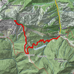
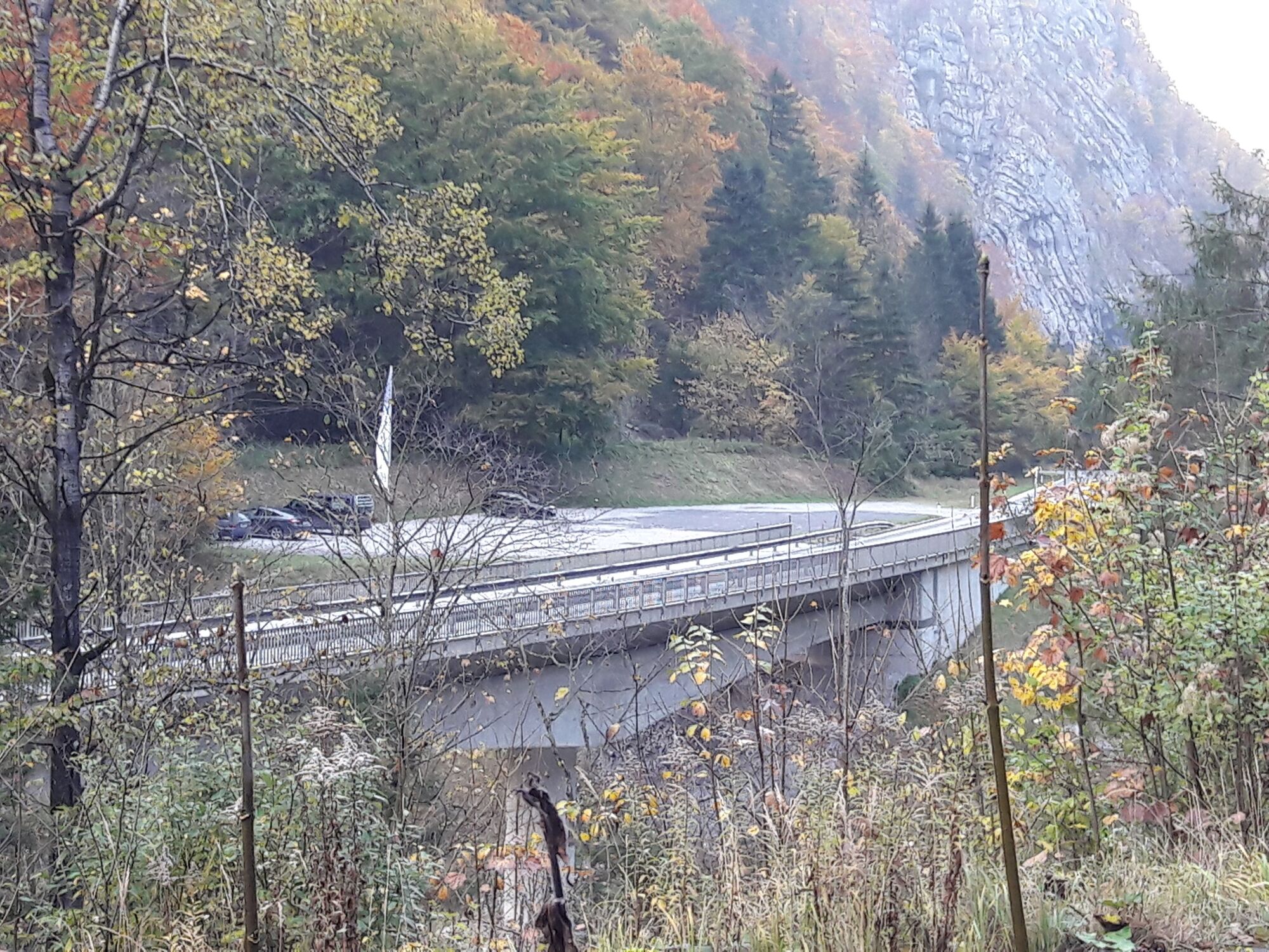
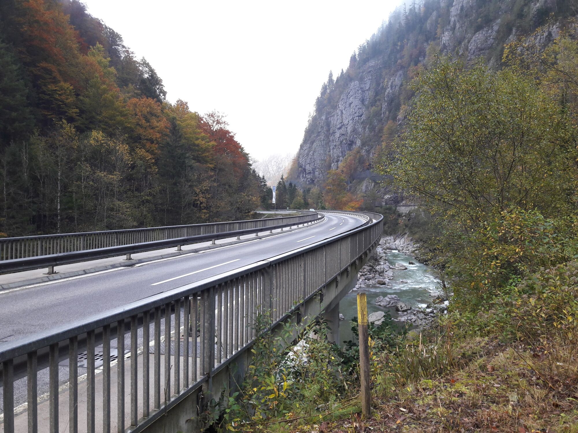
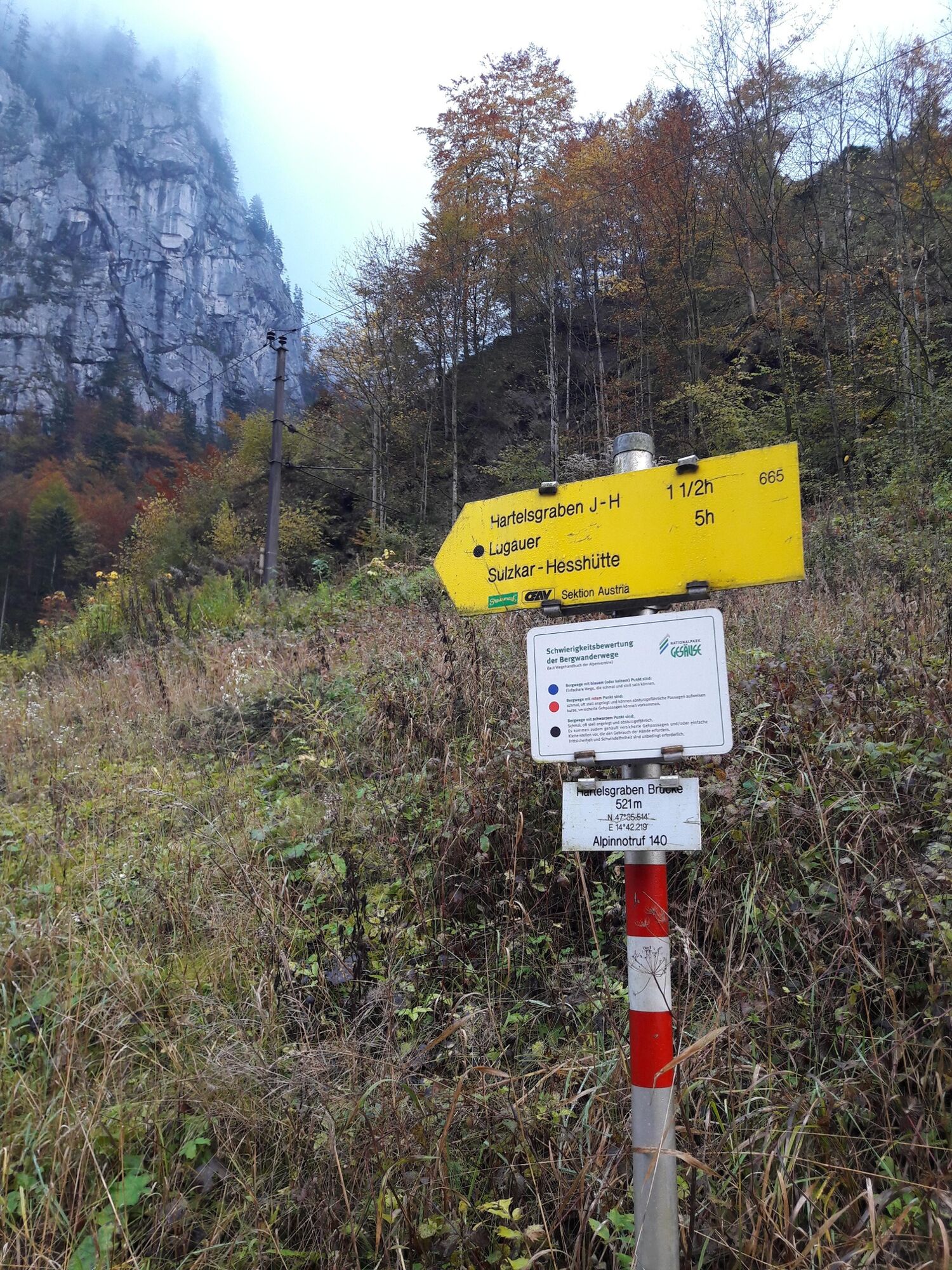
Through the Hartelsgraben into Sulzkar and on to Zinödl

Wandelen

© TV Gesäuse - Tourismusverband Gesäuse

© TV Gesäuse - Tourismusverband Gesäuse

© TV Gesäuse - Tourismusverband Gesäuse

© TV Gesäuse - Tourismusverband Gesäuse

© TV Gesäuse - Tourismusverband Gesäuse

© TV Gesäuse - Tourismusverband Gesäuse

© TV Gesäuse - Tourismusverband Gesäuse

© TV Gesäuse - Tourismusverband Gesäuse

© TV Gesäuse - Tourismusverband Gesäuse

© TV Gesäuse - Tourismusverband Gesäuse


- Korte beschrijving
-
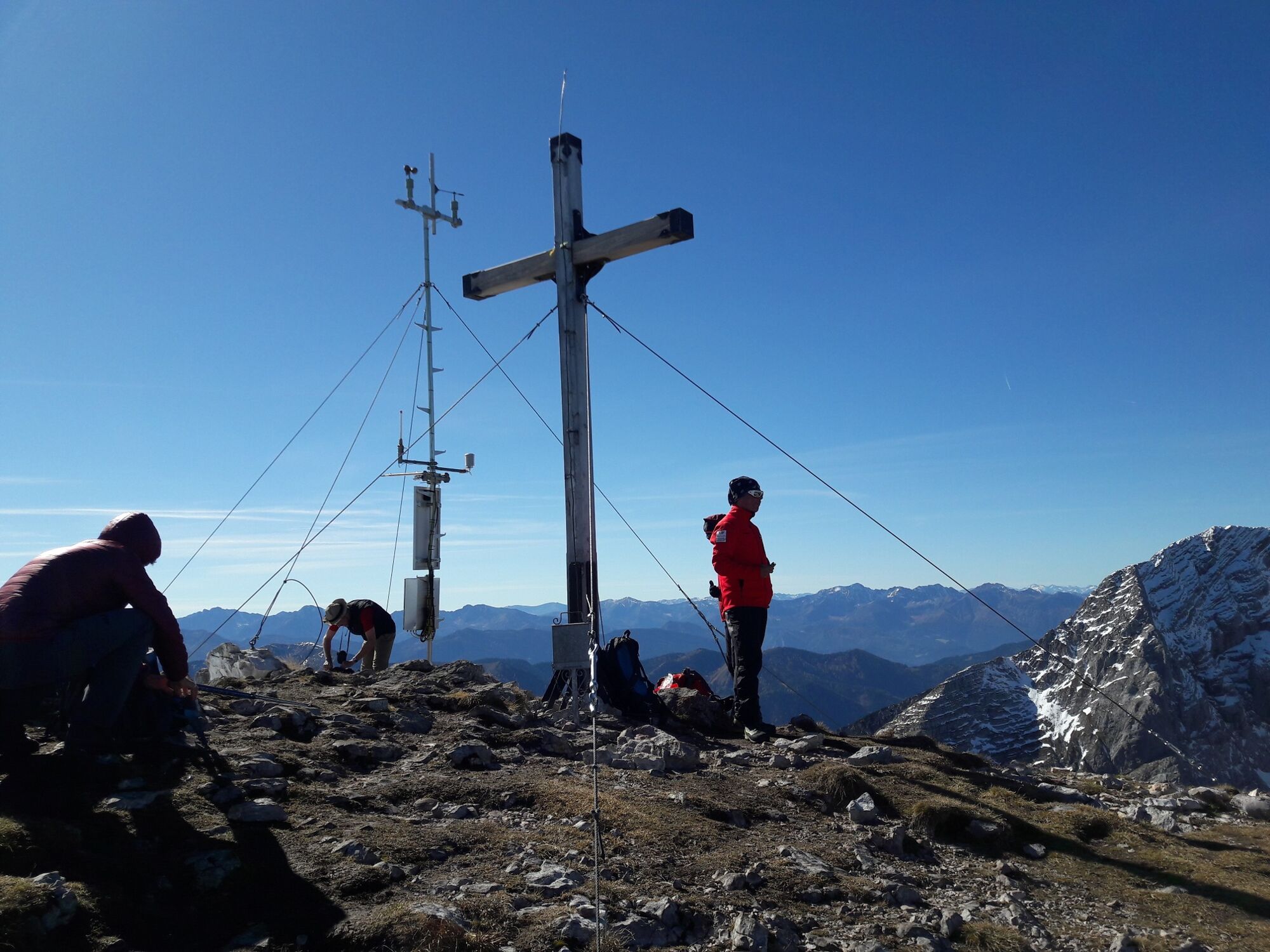
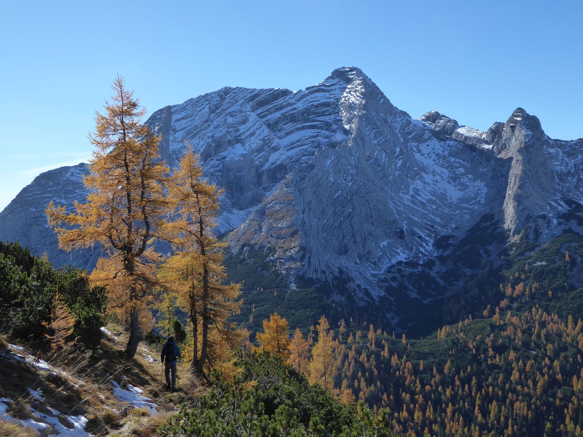
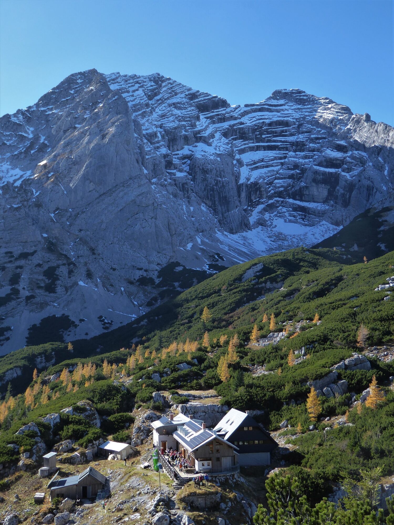
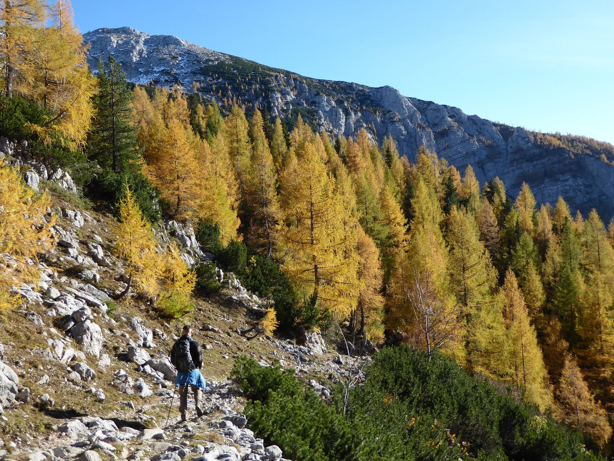
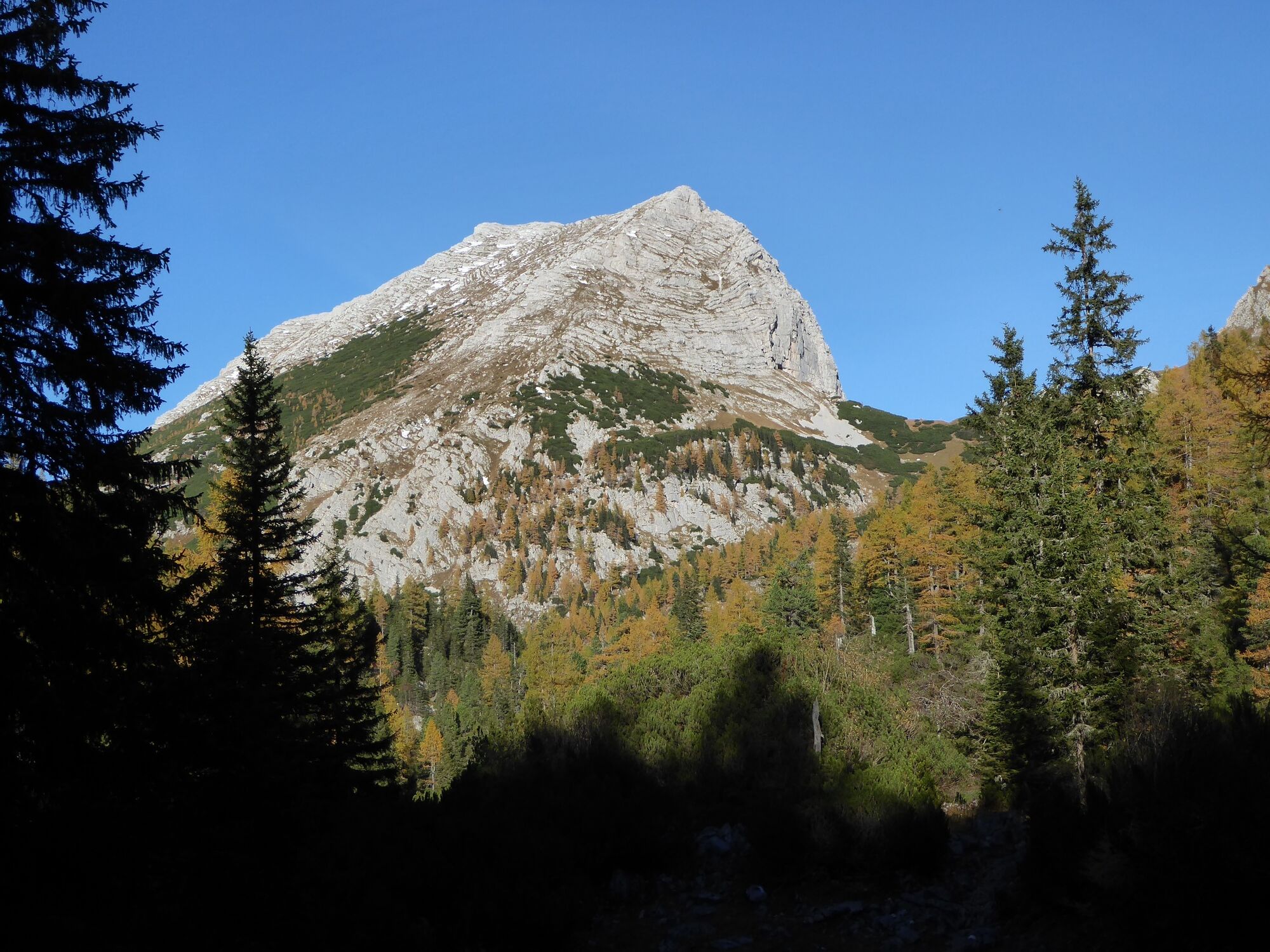
The Zinödl crossing truly offers a complete mountain hiking experience. The great view and the variety of the trail are only topped by a visit to the Heßhütte. And if that's not enough, the crossing to Johnsbach saves you about 300 meters of altitude difference in the descent.
- Moeilijkheid
-
zwaar
- Waardering
-
- Route
-
Hochzinödl (2.191 m)7,6 kmGass8,7 kmGamsbrunnen11,5 kmWolfbauer Wasserfall15,4 kmKölblwirt17,0 km
- Beste seizoen
-
janfebmrtaprmeijunjulaugsepoktnovdec
- Maximale hoogte
- 2.182 m
- Bestemming
-
Gasthaus Kölblwirt
- Hoogteprofiel
-


-

-
AuteurDe rondleiding Through the Hartelsgraben into Sulzkar and on to Zinödl wordt gebruikt door outdooractive.com op.
GPS Downloads


Algemene info
Verfrissingsstop
Cultureel/Historisch
Veelbelovend