© Tourismusverband Region Murau - Alexander Brunner

© Tourismusverband Region Murau - Alexander Brunner

- Korte beschrijving
-
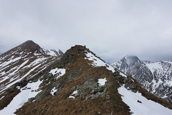
After the steep climb over the "Gastrumerofen", a pleasant, shady high trail to the "Luegtratte" awaits you. The way back leads mostly on an unavoidable asphalt road.
- Moeilijkheid
-
zwaar
- Waardering
-
- Route
-
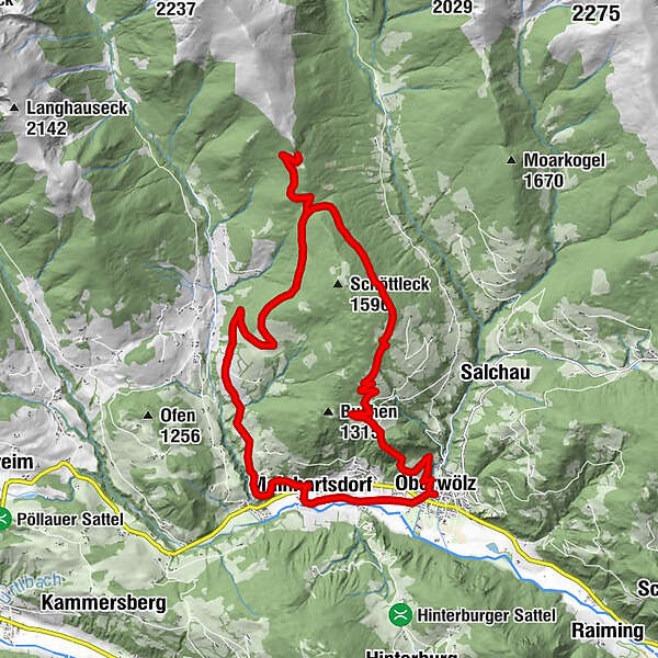
OberwölzStadtPfarrkirche hl. Martin0,0 kmFilialkirche hl. Sigismund0,0 kmJohannes-Nepomuk-Kapelle0,1 kmVorstadt0,1 kmLuegtratte7,8 kmWinklern bei Oberwölz18,0 kmMainhartsdorf19,2 kmWieden20,4 kmVorstadt21,3 kmOberwölz21,4 kmJohannes-Nepomuk-Kapelle21,5 kmStadt21,5 kmFilialkirche hl. Sigismund21,5 km
- Beste seizoen
-
janfebmrtaprmeijunjulaugsepoktnovdec
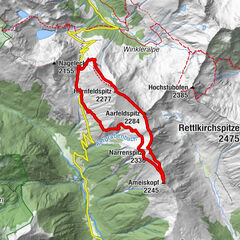
- Maximale hoogte
- 1.643 m
- Bestemming
-
Information board opposite the parish church
- Hoogteprofiel
-


- Auteur
-
De rondleiding Luegtratte-round tour (path 6) wordt gebruikt door outdooractive.com op.
GPS Downloads


Meer rondleidingen in de regio's