

© TVB Schladming-Dachstein - Gerhard Pilz

© TVB Schladming-Dachstein - Gerhard Pilz

© TVB Schladming-Dachstein - Gerhard Pilz

© TVB Schladming-Dachstein - Gerhard Pilz
- Korte beschrijving
-
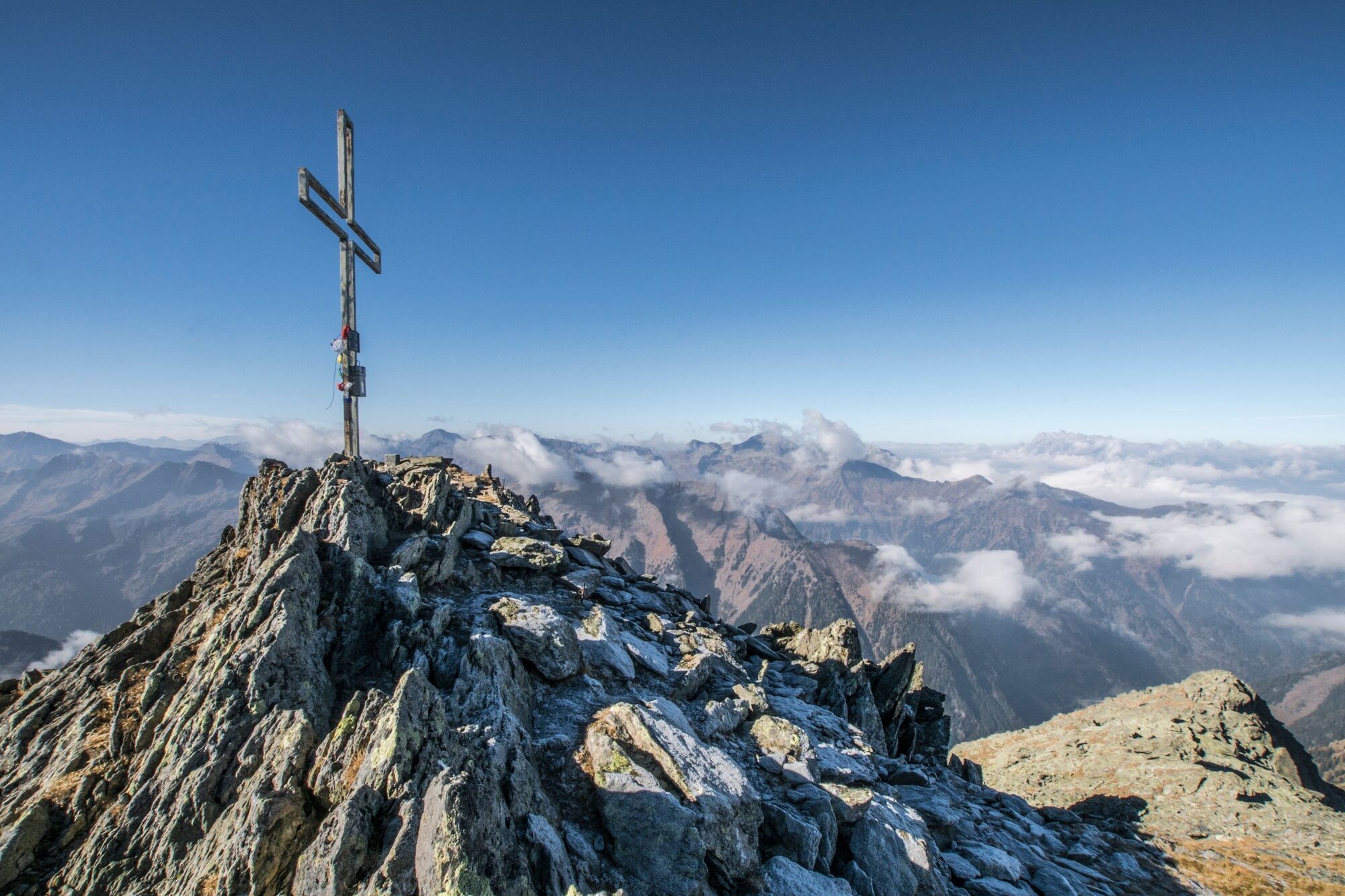
Long alpine tour, abundant waters along the way, distinctive stages with magical alpine tarns to a beautiful, scenic summit. Not a hiking loop.
- Moeilijkheid
-
medium
- Waardering
-
- Route
-
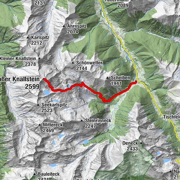
Pfarrkirche hl. NikolausSankt Nikolai im SölktalGroßer Knallstein (2.599 m)7,7 kmSankt Nikolai im Sölktal15,4 kmZum Gamsjäger15,5 kmPfarrkirche hl. Nikolaus15,5 km
- Beste seizoen
-
janfebmrtaprmeijunjulaugsepoktnovdec
- Maximale hoogte
- 2.585 m
- Bestemming
-
Knallstein
- Hoogteprofiel
-


- Auteur
-
De rondleiding Summit Tour to the Knallstein wordt gebruikt door outdooractive.com op.
GPS Downloads


Algemene info
Tip voor insiders
Flora
Fauna
Veelbelovend
Meer rondleidingen in de regio's


