© Erlebnisregion Thermen- & Vulkanland - Infobüro Bad Waltersdorf

© Erlebnisregion Thermen- & Vulkanland - Ingrid Jansky

© Bad Waltersdorf - Ingrid Jansky
© Bad Waltersdorf - Thermenland Süd- & Oststeiermark Marketing GmbH
- Korte beschrijving
-
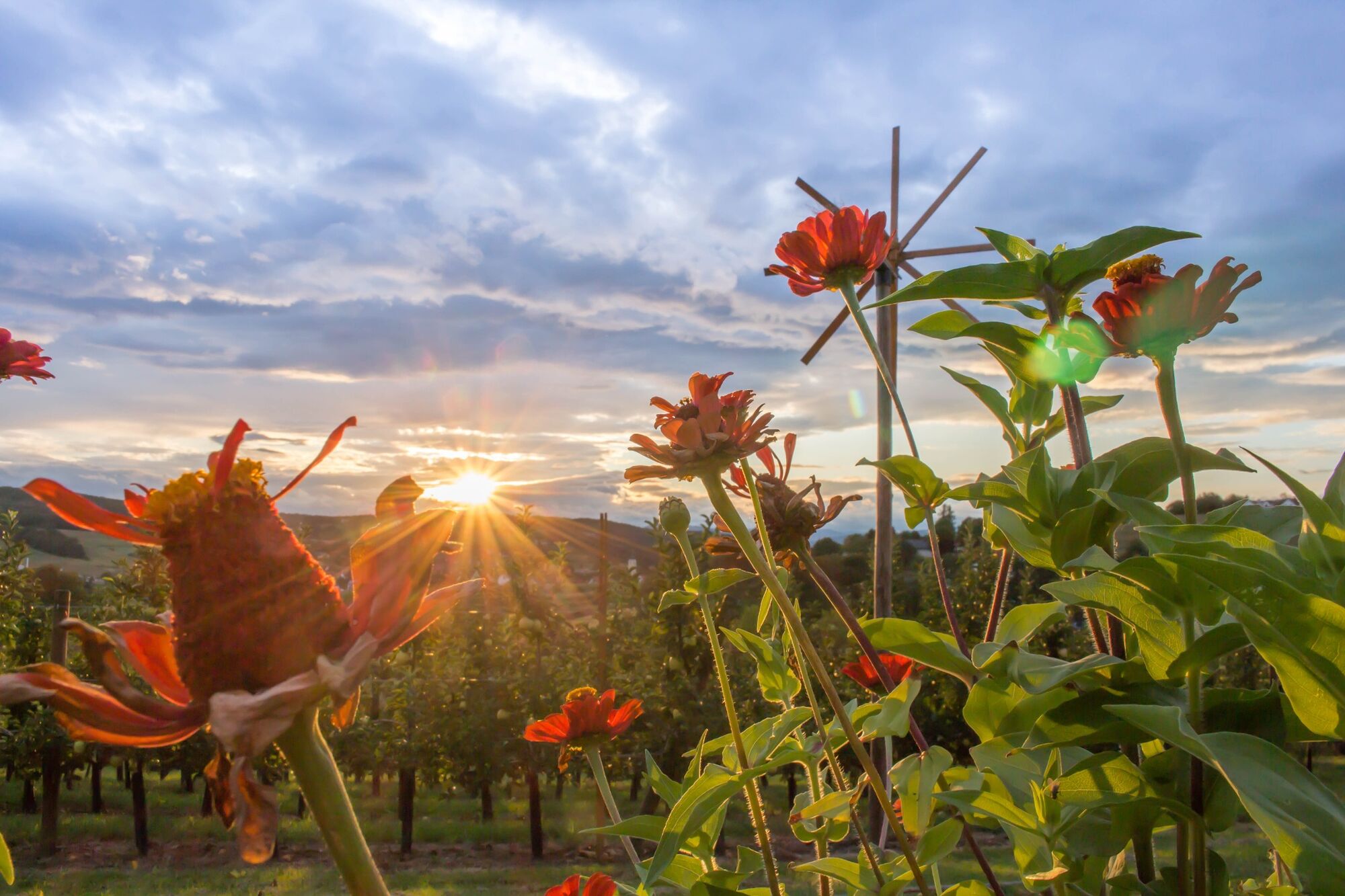
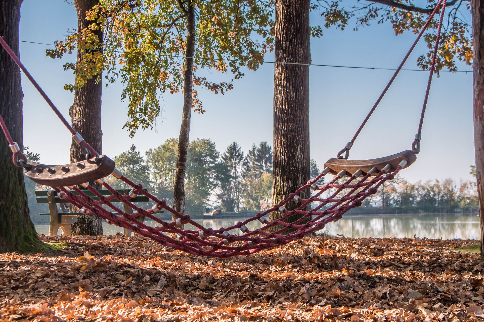
Discover the villages of Auffen, Großhart and Hohenbrugg and the natural paradise that surrounds them.
- Moeilijkheid
-
medium
- Waardering
-
- Route
-
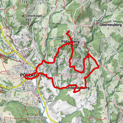
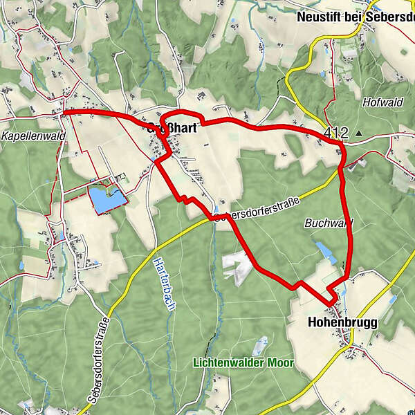
AuffenLindenhof StraußenwirtGroßhart1,2 kmHohenbrugg4,9 kmLinzbüchl7,5 kmGroßhart9,7 kmLindenhof Straußenwirt11,0 kmAuffen11,0 km
- Beste seizoen
-
janfebmrtaprmeijunjulaugsepoktnovdec
- Maximale hoogte
- 449 m
- Bestemming
-
In the center of Auffen
- Hoogteprofiel
-


-

-
AuteurDe rondleiding Hohenbrugg trail (Hohenbrugg-Weg) wordt gebruikt door outdooractive.com op.
GPS Downloads


Algemene info
Verfrissingsstop
Fauna
Meer rondleidingen in de regio's
-
Thermen- & Vulkanland
1324
-
Bad Waltersdorf
624
-
Ebersdorf
195