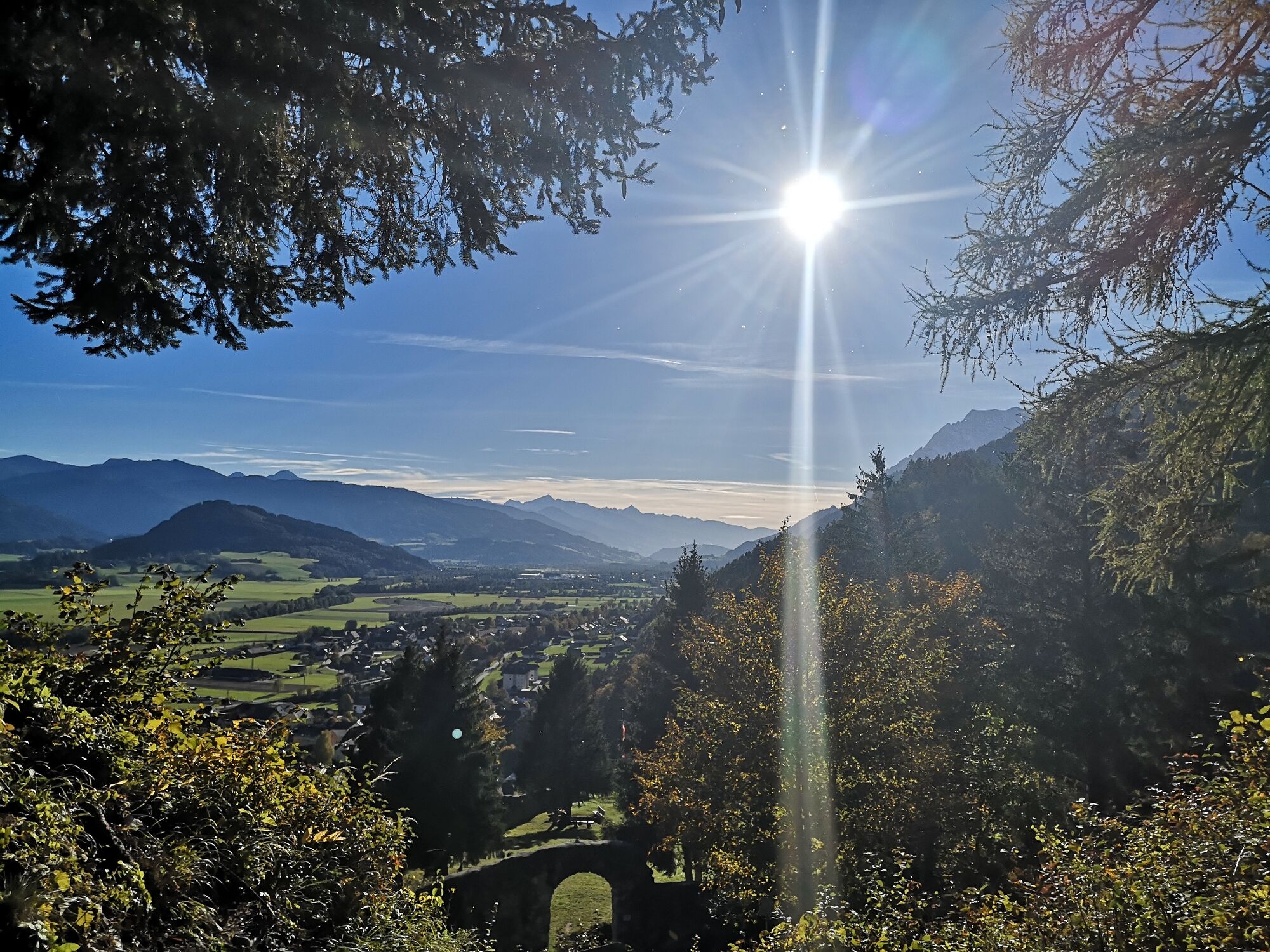
Hike through the Wörschachklamm gorge to the Wolkenstein castle ruins

Wandelen

© Erlebnisregion Schladming-Dachstein - Armin Walcher

© Erlebnisregion Schladming-Dachstein - Christoph Lukas

© Erlebnisregion Schladming-Dachstein - Christoph Lukas

© Erlebnisregion Schladming-Dachstein - Tanja Kerschbaumer

© Erlebnisregion Schladming-Dachstein - Tanja Kerschbaumer

© Erlebnisregion Schladming-Dachstein - Tanja Kerschbaumer

- Korte beschrijving
-
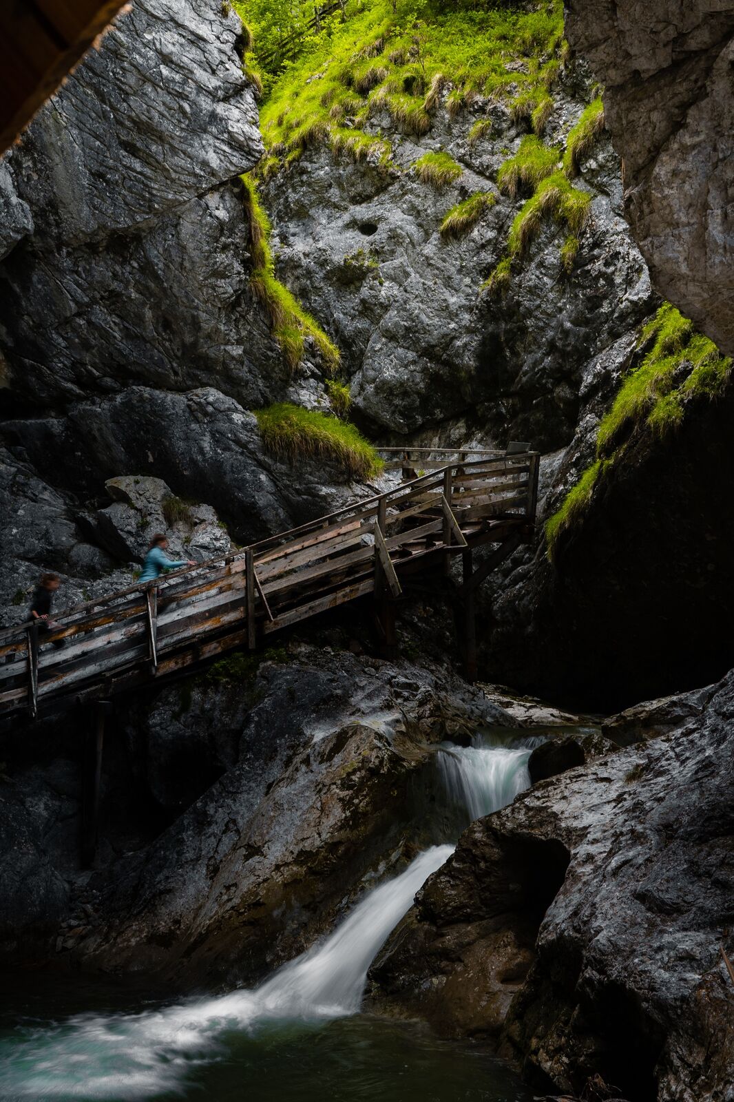
A varied hike with thundering water, historic walls and animal acquaintances. This tour should be on your to-do list!
- Moeilijkheid
-
gemakkelijk
- Waardering
-
- Route
-
WörschachKlammstüberl0,4 kmEselhütte3,4 kmWörschach3,8 km
- Beste seizoen
-
janfebmrtaprmeijunjulaugsepoktnovdec
- Maximale hoogte
- 904 m
- Bestemming
-
Parking Wörschachklamm
- Hoogteprofiel
-


- Auteur
-
De rondleiding Hike through the Wörschachklamm gorge to the Wolkenstein castle ruins wordt gebruikt door outdooractive.com op.
GPS Downloads


Algemene info
Verfrissingsstop
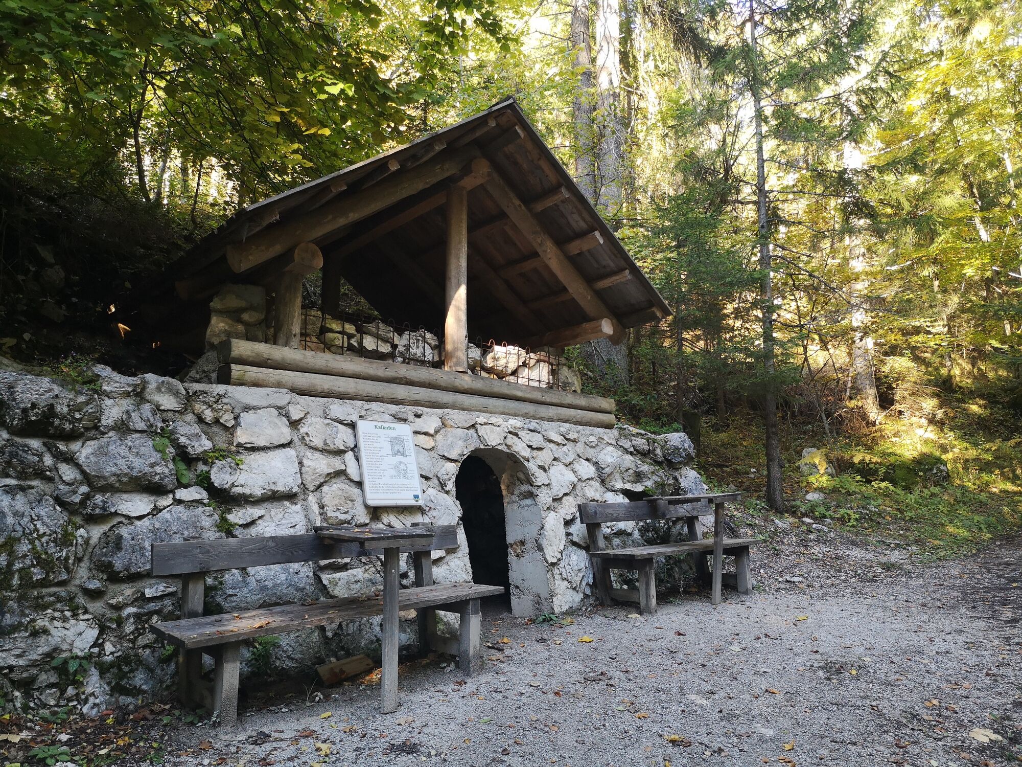
Cultureel/Historisch
Flora
Fauna
Veelbelovend
Meer rondleidingen in de regio's


