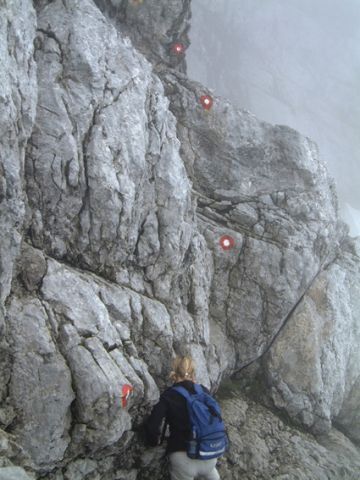
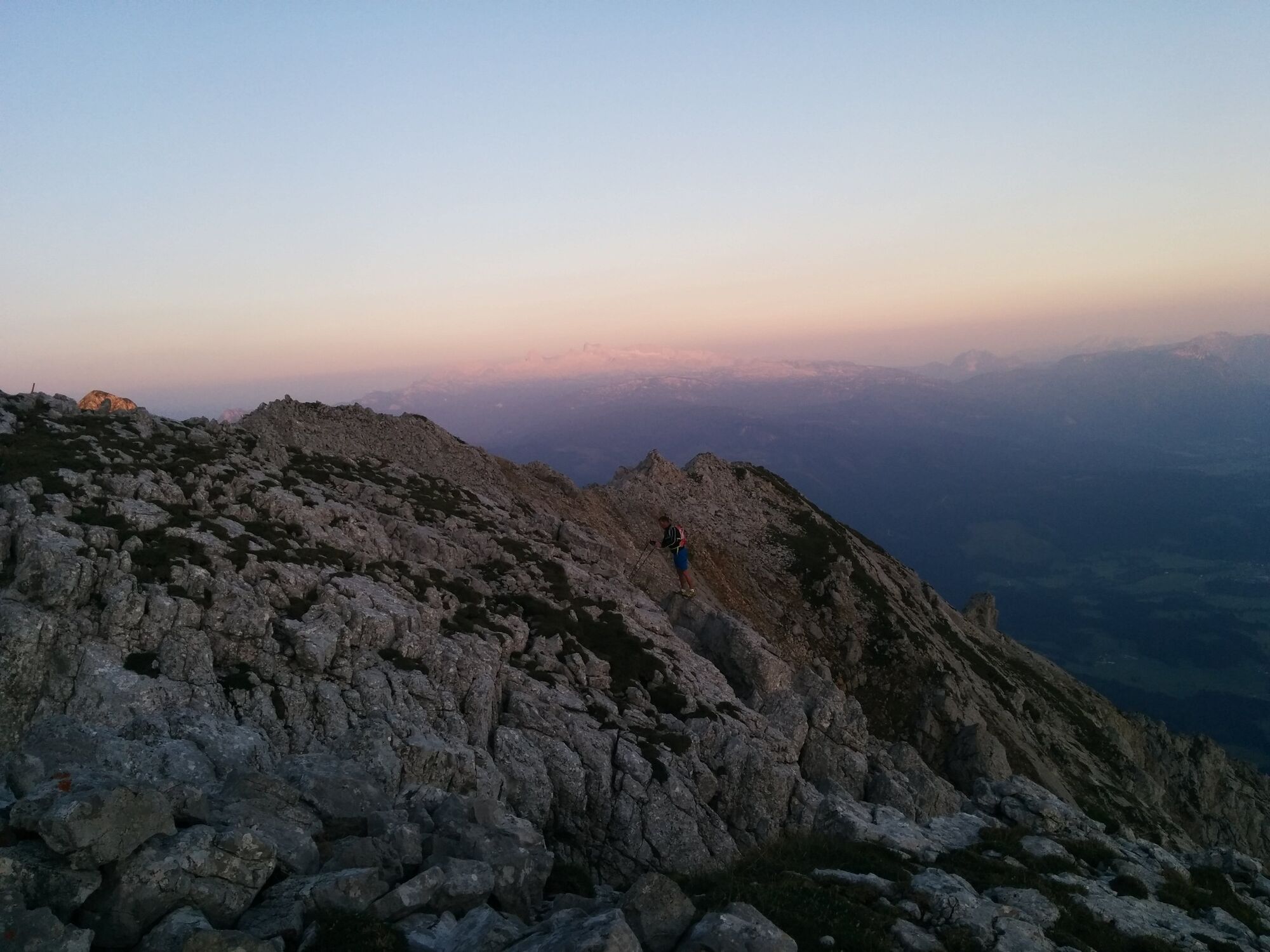
Climb to the Grimming, the "Mons Styriacus altissimus"- 2351m

Wandelen

© Erlebnisregion Schladming-Dachstein - Schladming Dachstein

© Erlebnisregion Schladming-Dachstein - Schladming Dachstein

© Erlebnisregion Schladming-Dachstein - Schladming Dachstein

© Erlebnisregion Schladming-Dachstein - Schladming Dachstein
- Korte beschrijving
-
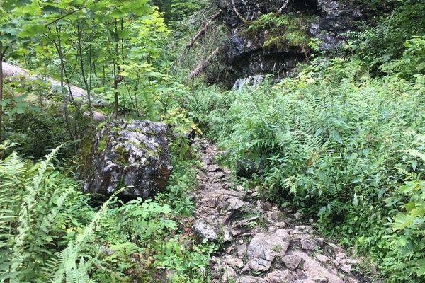
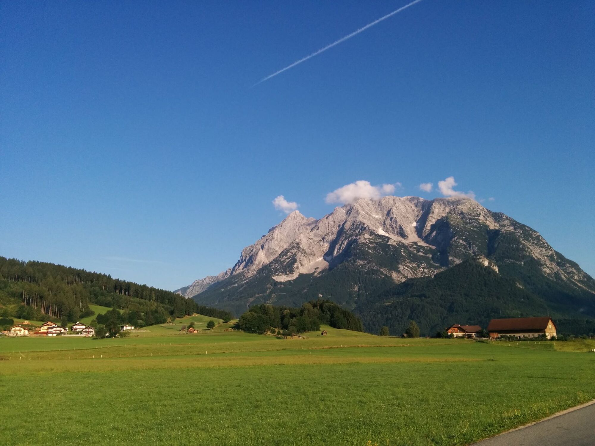
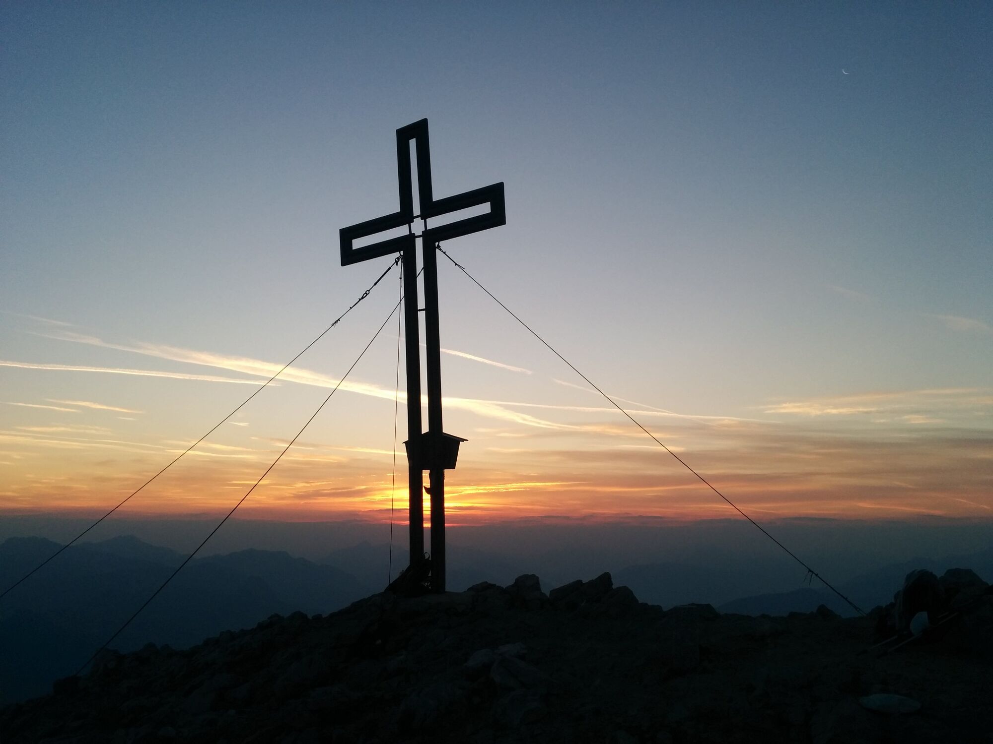
From the south as well as the north side, the Grimming appears immense, a striking rock outcrop of limestone, the eastern branch of the Dachstein group.
- Moeilijkheid
-
zwaar
- Waardering
-
- Route
-
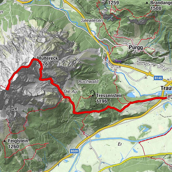
TrautenfelsGrimminghütte3,0 kmGrimmingbründl4,1 kmMultereck (2.176 m)5,9 kmGrimming (2.351 m)7,4 kmMultereck (2.176 m)8,7 kmGrimmingbründl10,2 kmGrimminghütte11,6 kmTrautenfels14,3 km
- Beste seizoen
-
janfebmrtaprmeijunjulaugsepoktnovdec
- Maximale hoogte
- 2.339 m
- Bestemming
-
Trautenfels castle or Niederstuttern/from Enns Valley
- Hoogteprofiel
-

- Auteur
-
De rondleiding Climb to the Grimming, the "Mons Styriacus altissimus"- 2351m wordt gebruikt door outdooractive.com op.
GPS Downloads


Algemene info
Verfrissingsstop
Cultureel/Historisch
Flora
Fauna
Veelbelovend
Meer rondleidingen in de regio's
-
Ausseerland - Salzkammergut
3383
-
Gröbminger Land
1191
-
Tauplitz
305