

© Gesäuse - Admont - Dietmar Cupak

© Gesäuse - Admont - Dietmar Cupak

© Gesäuse - Admont - Dietmar Cupak

© Gesäuse - Admont - Dietmar Cupak

© Gesäuse - Admont - Dietmar Cupak

© TV Gesäuse - Tourismusverband Gesäuse

© TV Gesäuse - Tourismusverband Gesäuse

© TV Gesäuse - Tourismusverband Gesäuse

© TV Gesäuse - Tourismusverband Gesäuse

© TV Gesäuse - Wolf

- Korte beschrijving
-
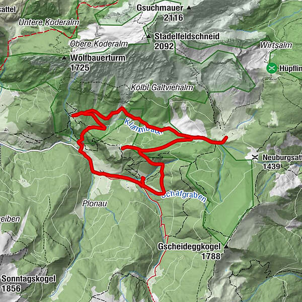
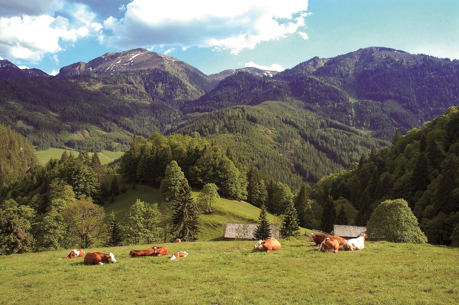
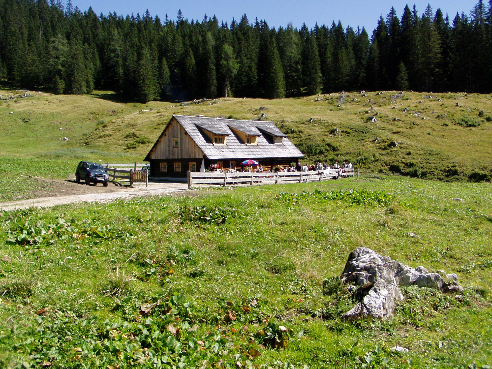
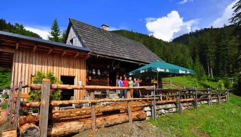
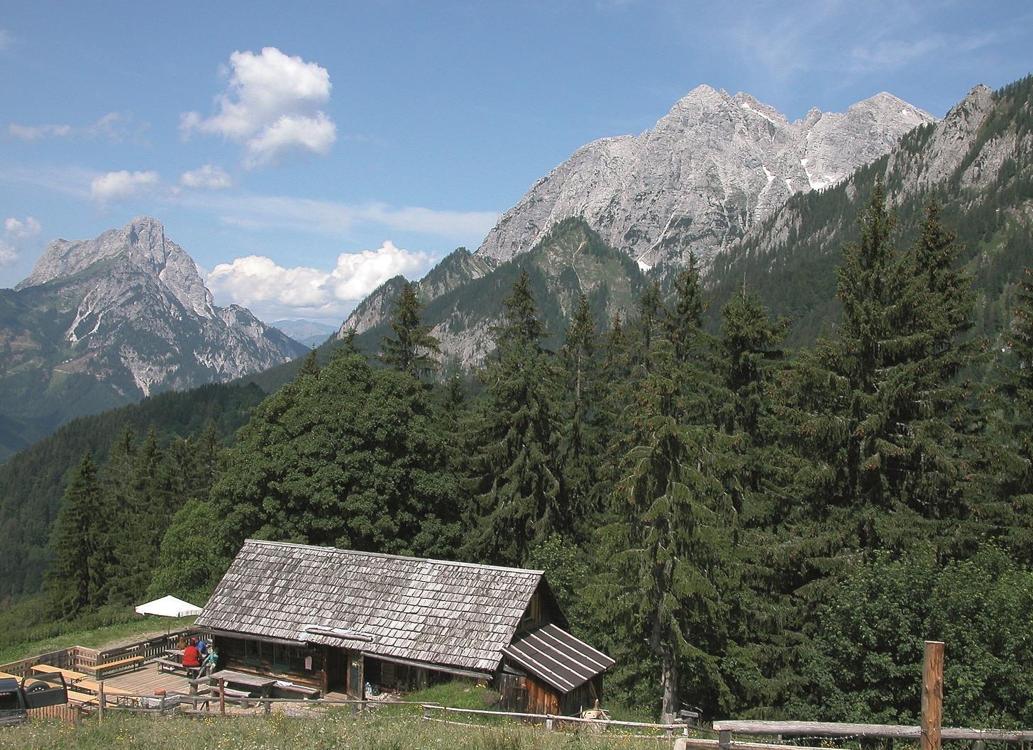
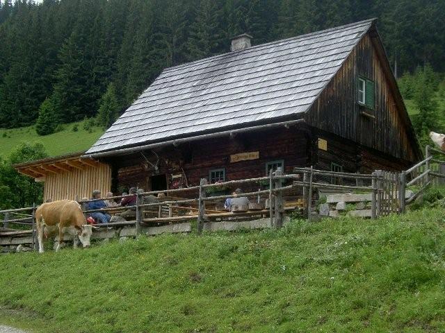
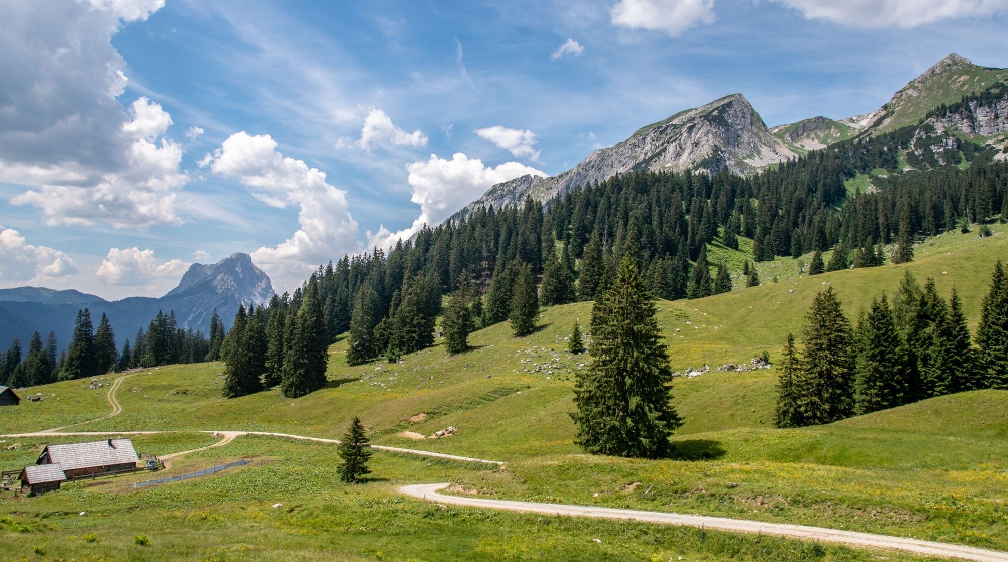
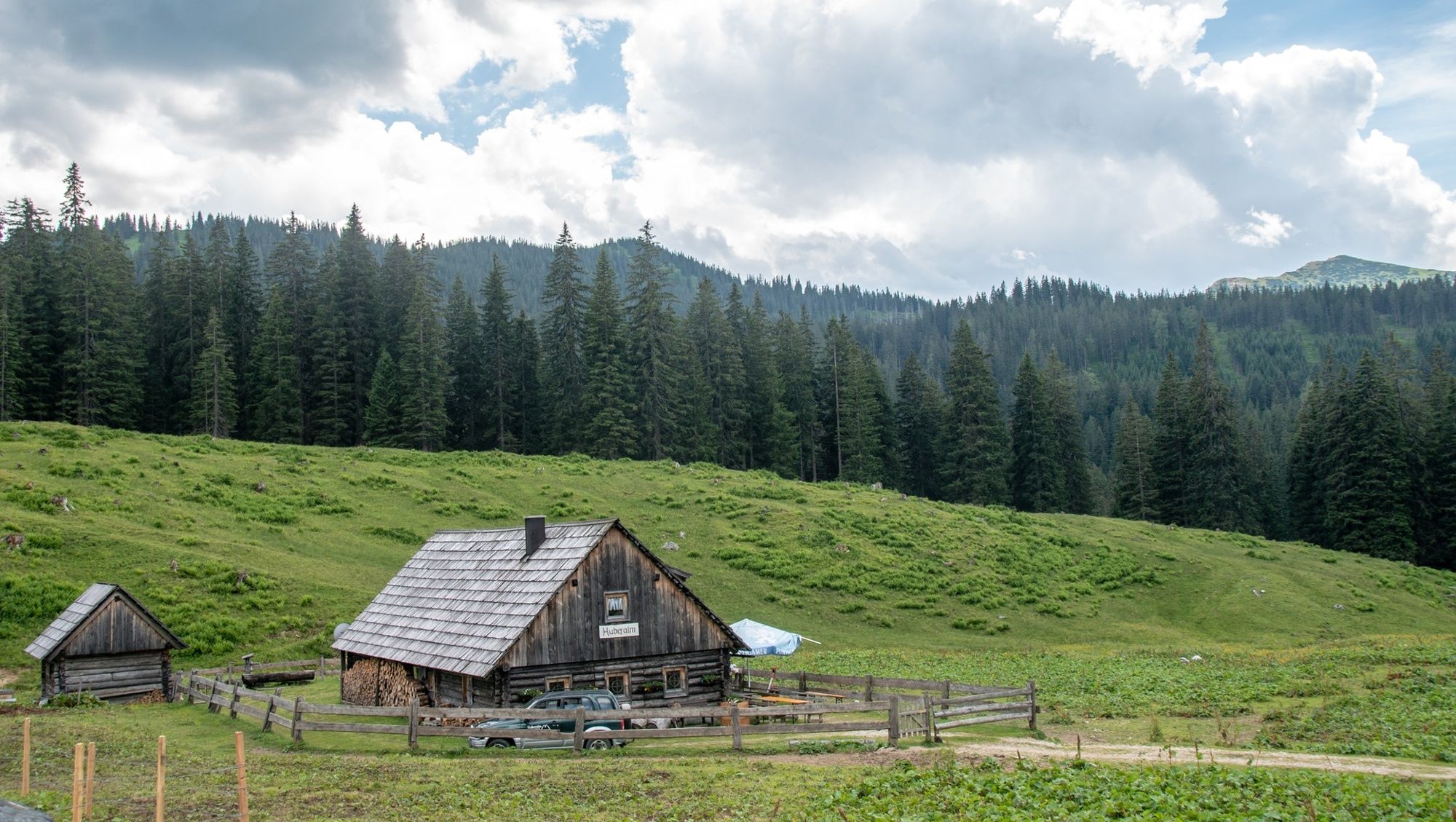
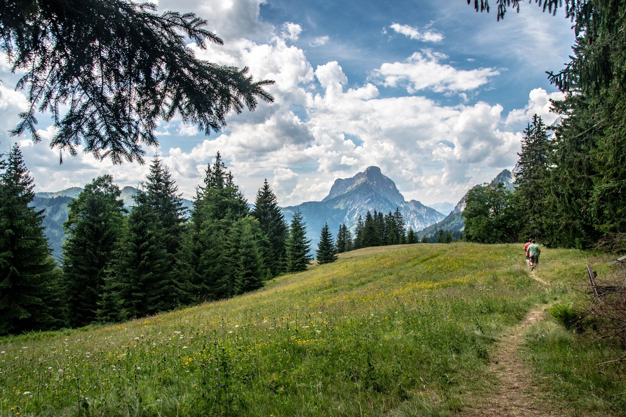
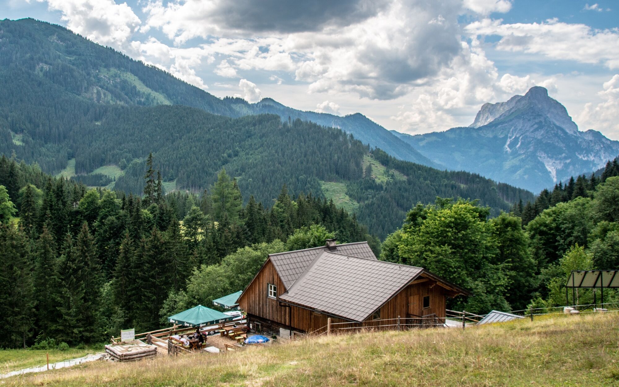
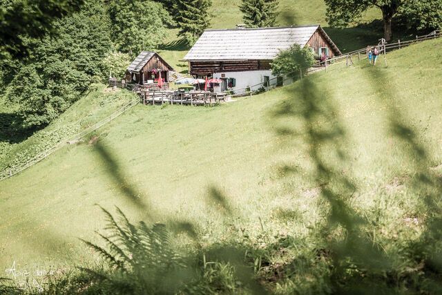
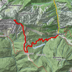
The starting point for a pleasant hike through the alpine pastures for the whole family is at the end of the Johnsbach Valley. The so-called "Johnsbacher Almenrunde" leads over panoramic paths to 4 managed alpine pastures, which can be hiked individually or as a leisurely tour. Part of the route is also passable for mountain bikes. We recommend the following route: Car park Ebneralm - Kölblalm - Huberalm - Ebneralm - Zeiringeralm - car park.
- Moeilijkheid
-
gemakkelijk
- Waardering
-
- Route
-
Kölblalm - Almhütte1,4 kmZeiringer Alm8,2 km
- Beste seizoen
-
janfebmrtaprmeijunjulaugsepoktnovdec
- Maximale hoogte
- 1.399 m
- Bestemming
-
Parkplatz Ebnerkreuzung, Johnsbach
- Hoogteprofiel
-


-

-
AuteurDe rondleiding Johnsbacher Almenrunde wordt gebruikt door outdooractive.com op.
GPS Downloads


Algemene info
Verfrissingsstop
Flora
Veelbelovend
Meer rondleidingen in de regio's
-
Gesäuse
2223
-
Wald am Schoberpass
273
")


 & Kaiserschild (rechts)")
