

© Erlebnisregion Schladming-Dachstein - Schladming Dachstein

© Erlebnisregion Schladming-Dachstein - Schladming Dachstein

© Erlebnisregion Schladming-Dachstein - Schladming Dachstein

© Erlebnisregion Schladming-Dachstein - Schladming Dachstein

- Korte beschrijving
-
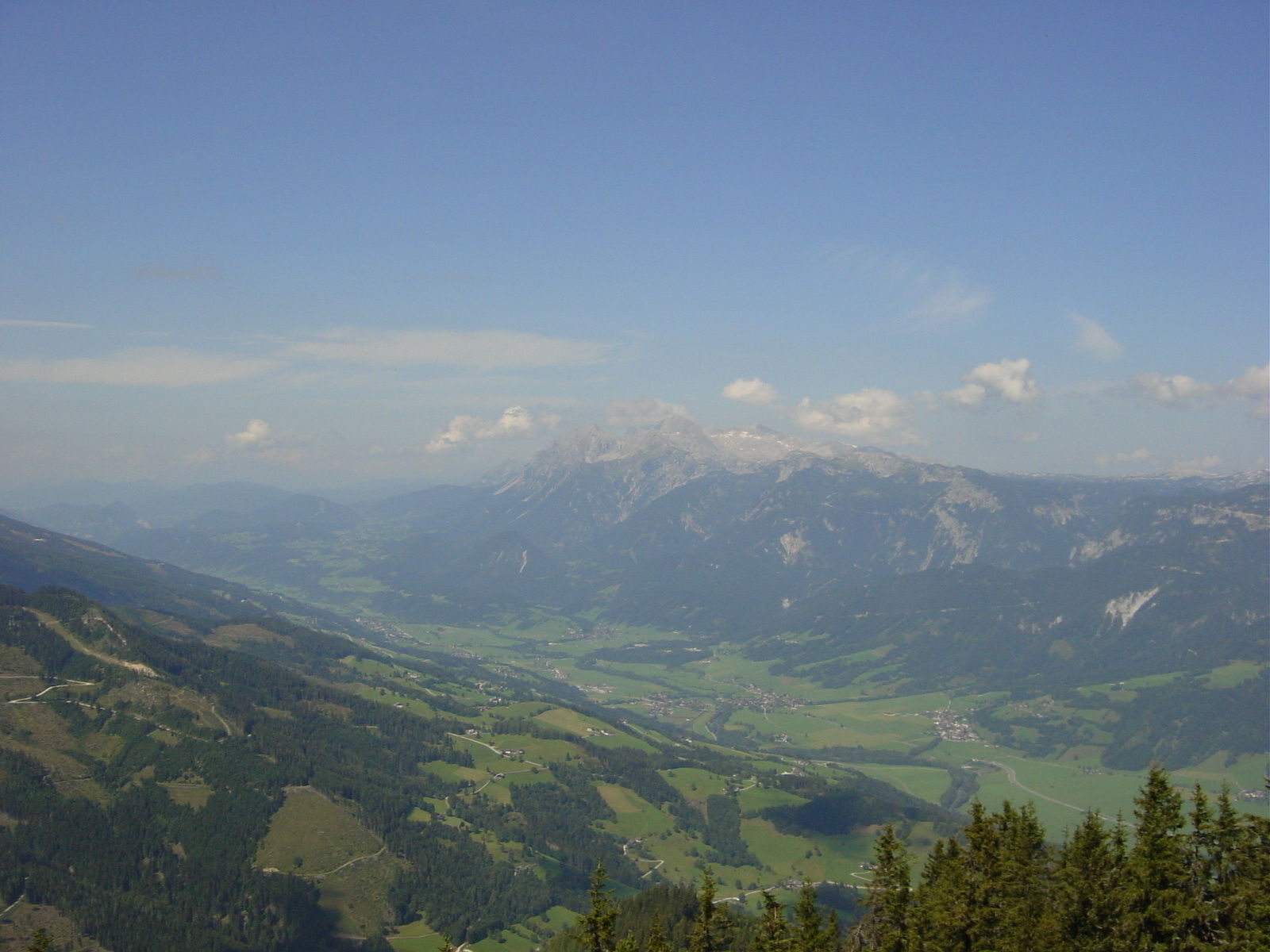
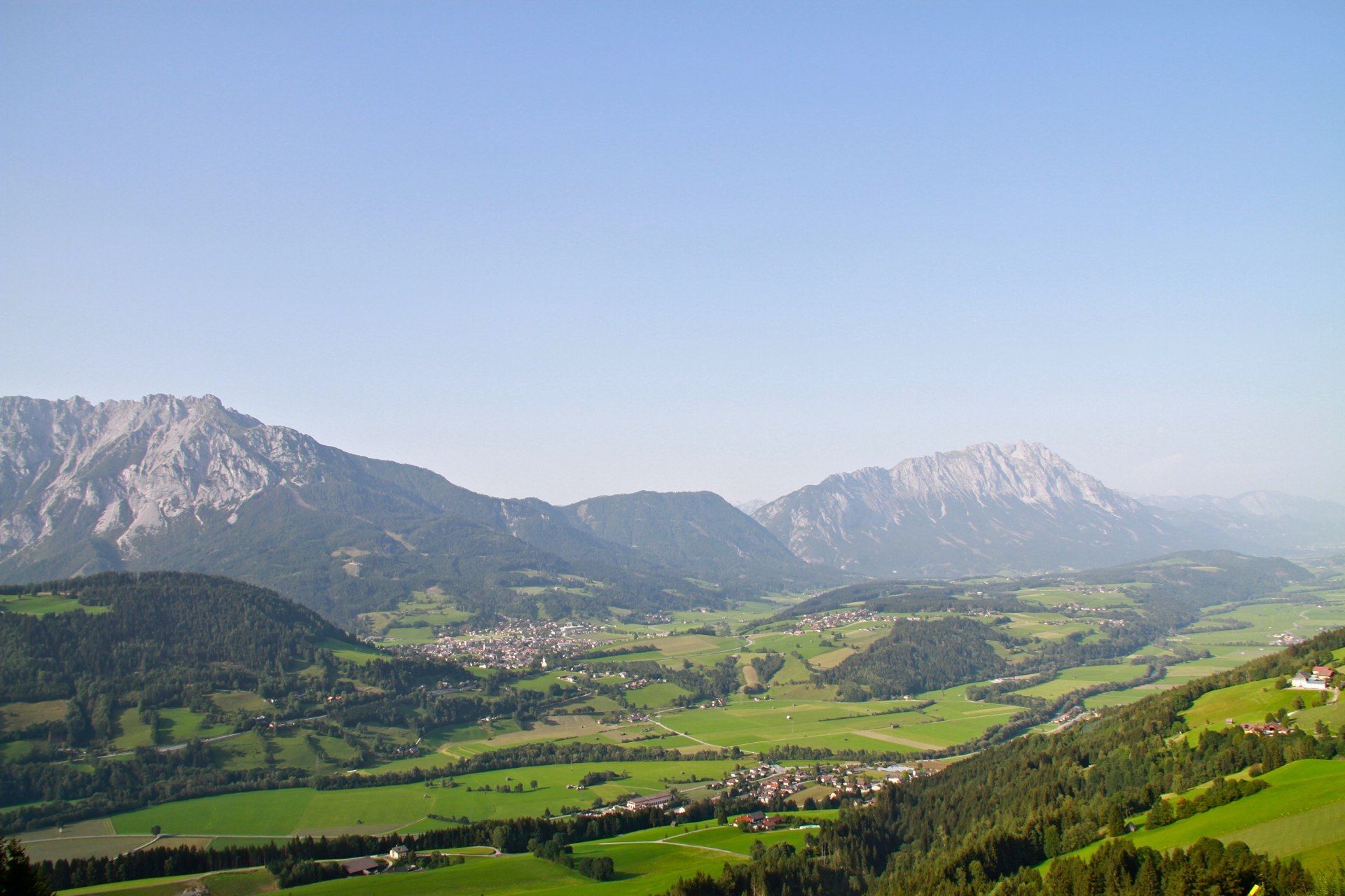
A steep forest climb leads to a scenic summit
- Moeilijkheid
-
medium
- Waardering
-
- Route
-
MichaelerbergKochofen (1.916 m)3,9 kmLoskögerl (1.548 m)5,1 kmMichaelerberghaus6,7 kmMichaelerberg6,8 km
- Beste seizoen
-
janfebmrtaprmeijunjulaugsepoktnovdec
- Maximale hoogte
- 1.889 m
- Bestemming
-
Kochofen
- Hoogteprofiel
-


- Auteur
-
De rondleiding From the Michaelerberghaus up to the Kochofen wordt gebruikt door outdooractive.com op.
GPS Downloads


Algemene info
Verfrissingsstop
Flora
Fauna
Veelbelovend
Meer rondleidingen in de regio's
-
Schladming - Dachstein
3001
-
Gröbminger Land
1190
-
Michaelerberg-Pruggern
233


