© Region Graz - Harry Schiffer

© Region Graz - Harry Schiffer

© TV Ligist - Heinz Kürzl

© TV Ligist - Rainer M. Fürstaller

© Region Graz - Harry Schiffer

© TV Ligist

© TV Ligist - Arnold Bauer

© TV Ligist

© TV Ligist - Rainer M. Fürstaller

- Korte beschrijving
-
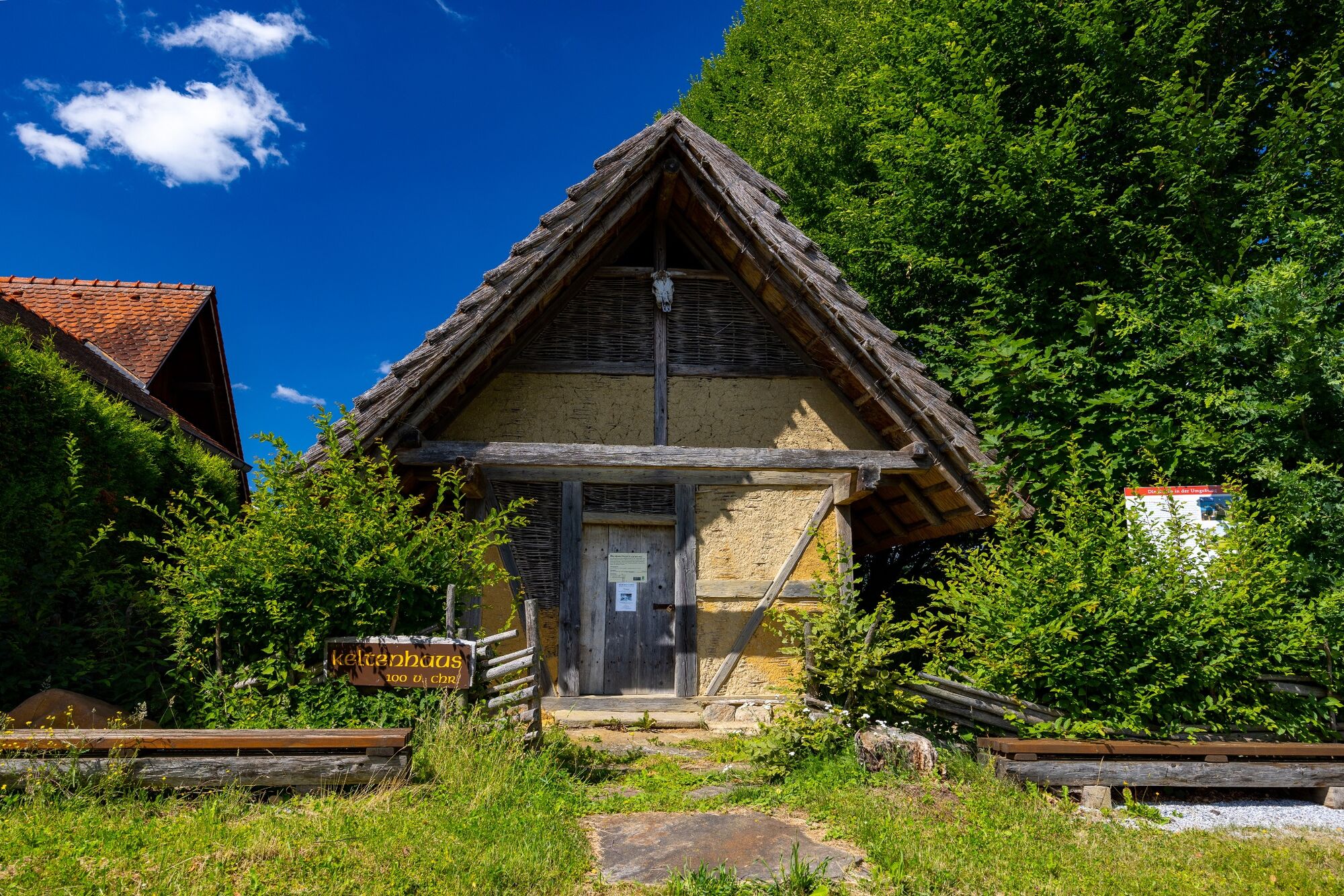
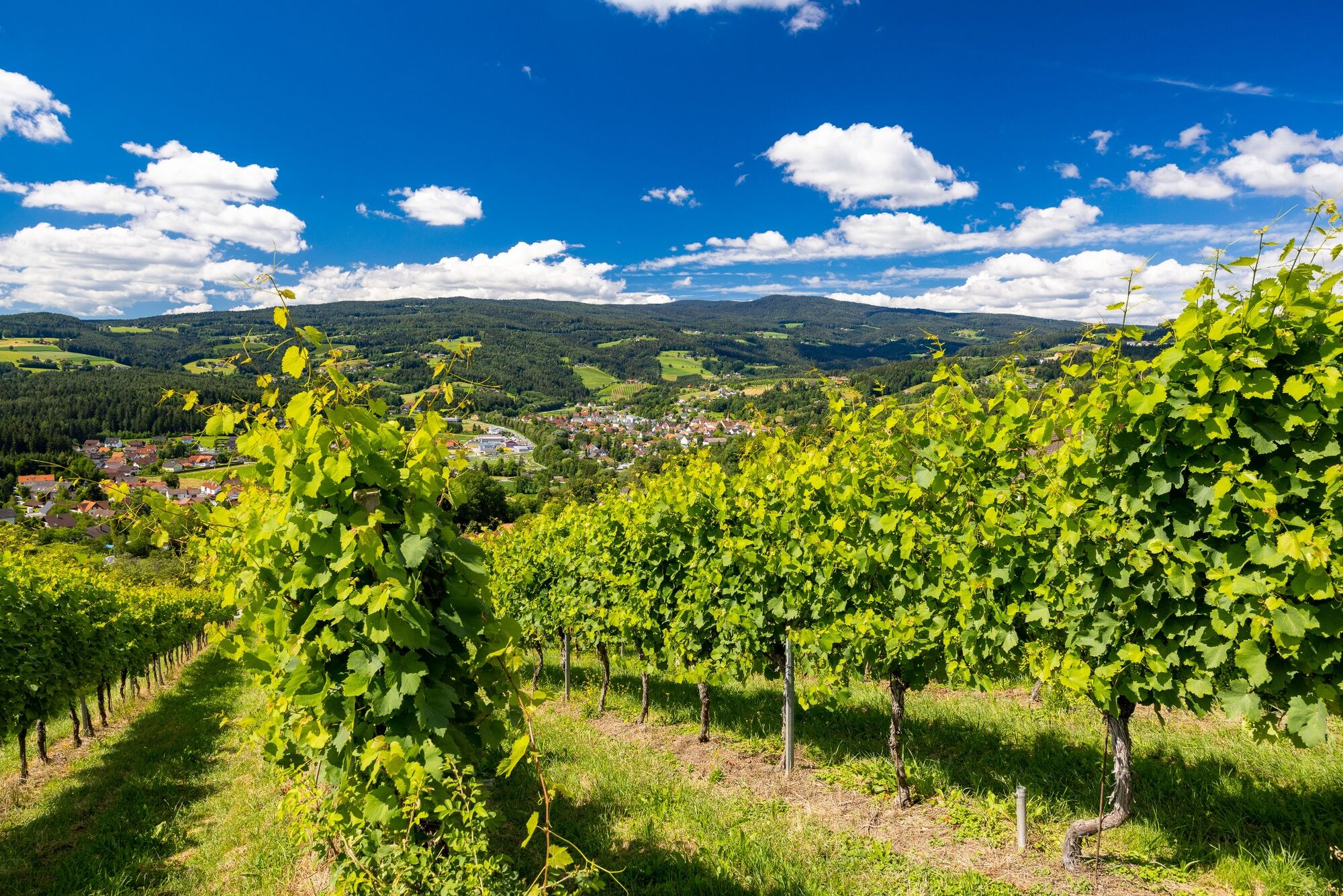
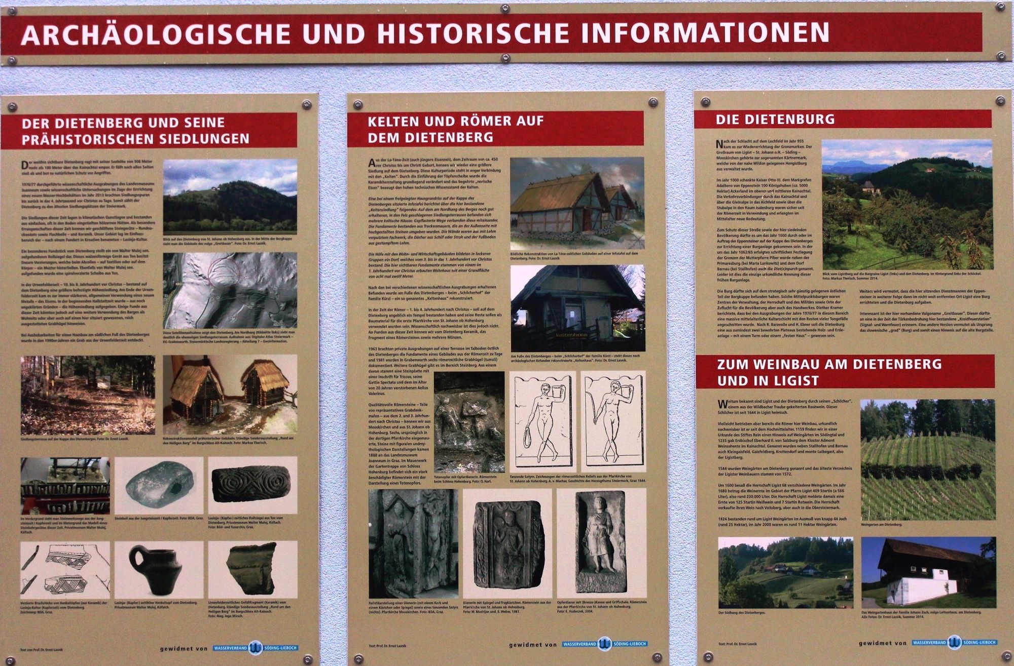
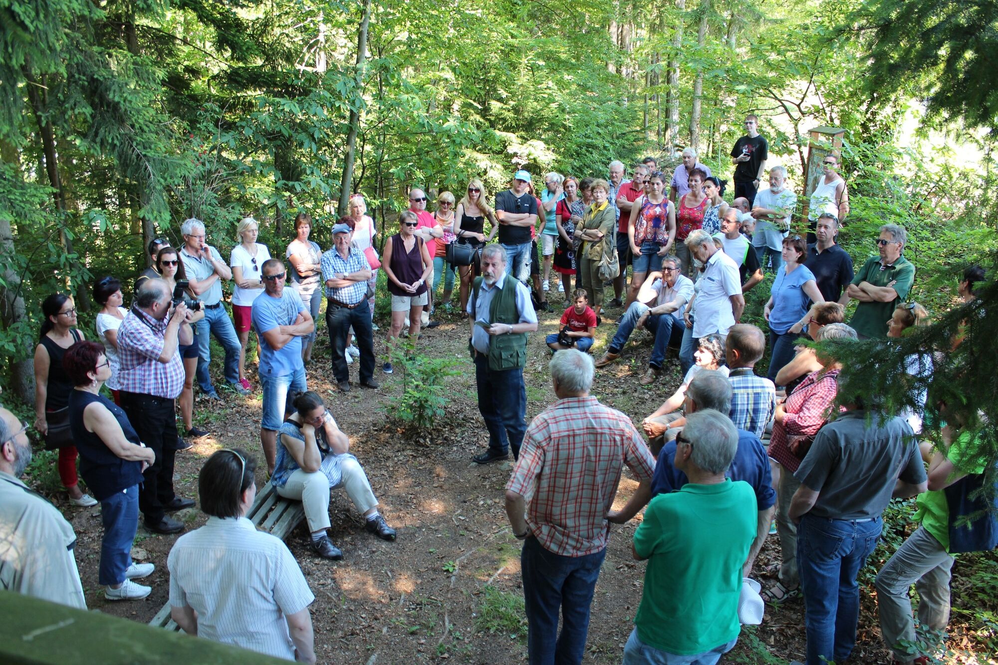
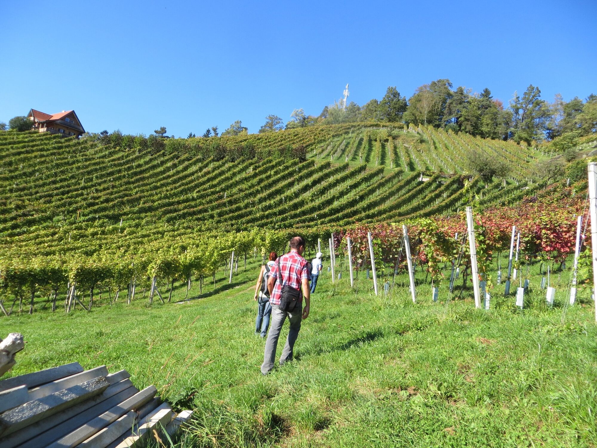
The Ligist Celtic trails lead us from the Ligist market square up the Dietenberg to the excavations from the Celtic period. Information boards about the Celts and the Celtic hilltop settlement bring us closer to the Bronze Age.
- Moeilijkheid
-
medium
- Waardering
-
- Route
-
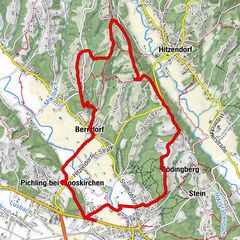
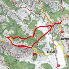
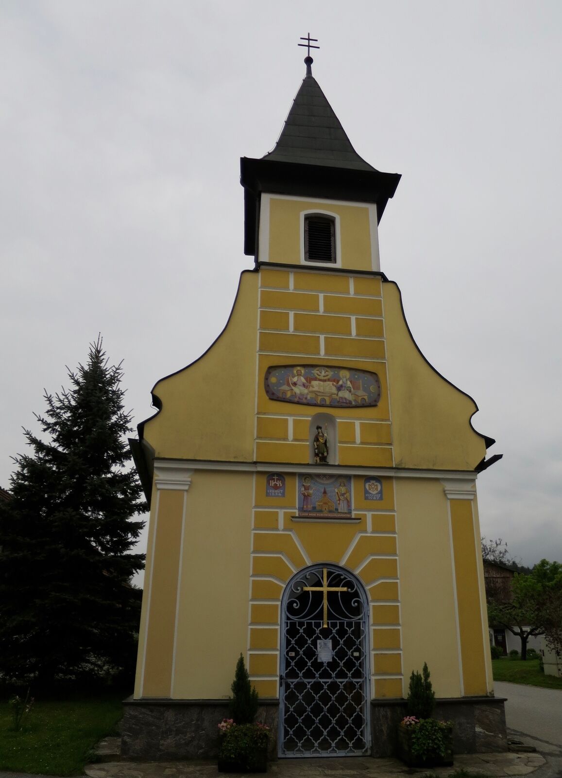
Pfarrkirche hl. KatharinaLigist0,1 kmBuschenschank Kremser-Greitbauer2,2 kmDietenberg2,8 kmSchilcherhof3,0 kmGrabenwarth4,8 kmPfarrkirche hl. Katharina8,7 kmLigist8,7 km
- Beste seizoen
-
janfebmrtaprmeijunjulaugsepoktnovdec
- Maximale hoogte
- 504 m
- Bestemming
-
Marketplace Ligist
- Hoogteprofiel
-


-

-
AuteurDe rondleiding Celtic path wordt gebruikt door outdooractive.com op.
GPS Downloads


Algemene info
Verfrissingsstop
Cultureel/Historisch
Veelbelovend
Meer rondleidingen in de regio's