© Tourismusverband Region Murau - René Hochegger

© Tourismusverband Region Murau - Mediadome


- Korte beschrijving
-
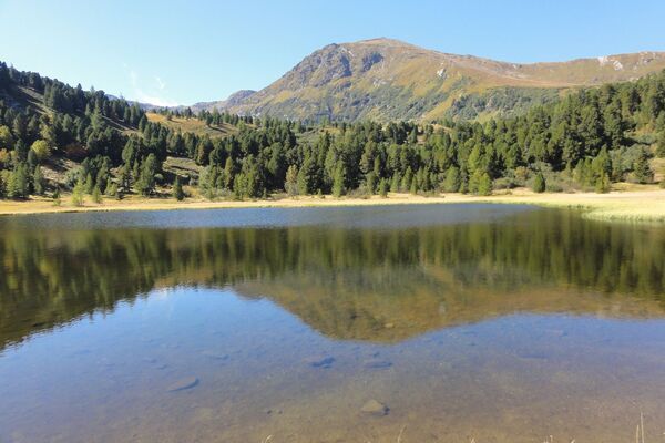
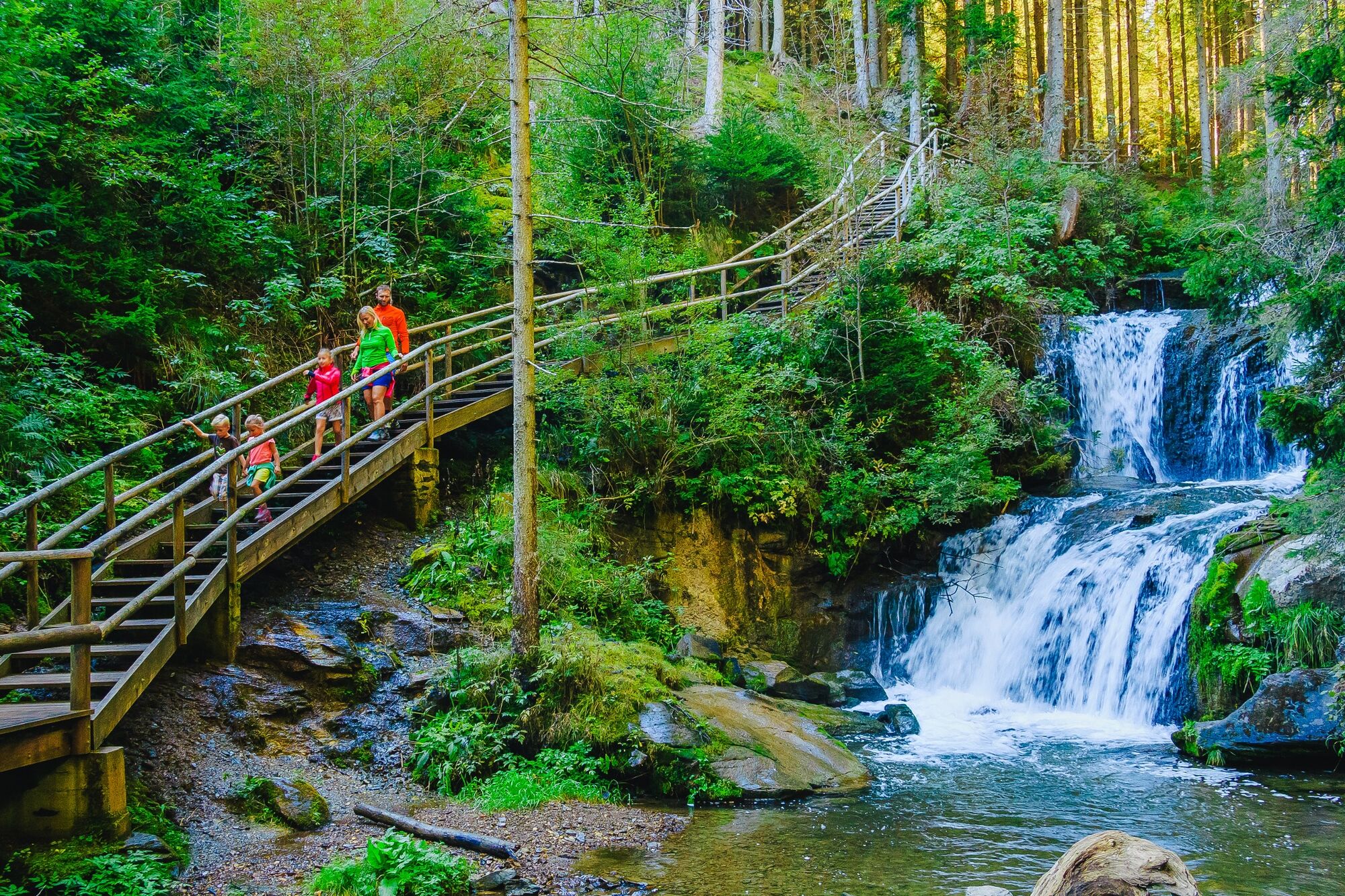
The hiking trail is entirely dedicated to the theme of water.
- Moeilijkheid
-
medium
- Waardering
-
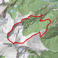
- Route
-
Pfarrkirche Mariä Himmelfahrt0,1 kmSankt Marein bei Neumarkt0,2 kmUrsprungbach2,9 kmZecki's Hütte3,1 kmZeckis Spielplatz3,2 kmJakobikirche3,8 kmPöllau7,4 kmPfarrkirche hl. Leonhard7,5 kmMareinerwirt17,3 kmSankt Marein bei Neumarkt17,9 km
- Beste seizoen
-
janfebmrtaprmeijunjulaugsepoktnovdec
- Maximale hoogte
- 1.202 m
- Bestemming
-
Hiking starting point St. Marein
- Hoogteprofiel
-


- Auteur
-
De rondleiding Back to the (Pöllau) origin wordt gebruikt door outdooractive.com op.
GPS Downloads


Algemene info
Verfrissingsstop
Meer rondleidingen in de regio's