© Katharina Mitteregger - Markus Windisch, Foto Katharina Miteregger

© Tourismusregion Stübing I Deutschfeistritz I Peggau I Übelbach, Foto: Lunghammer - Markus Windisch

© Tourismusregion Stübing I Deutschfeistritz I Peggau I Übelbach, Foto: Lunghammer - Markus Windisch
- Korte beschrijving
-
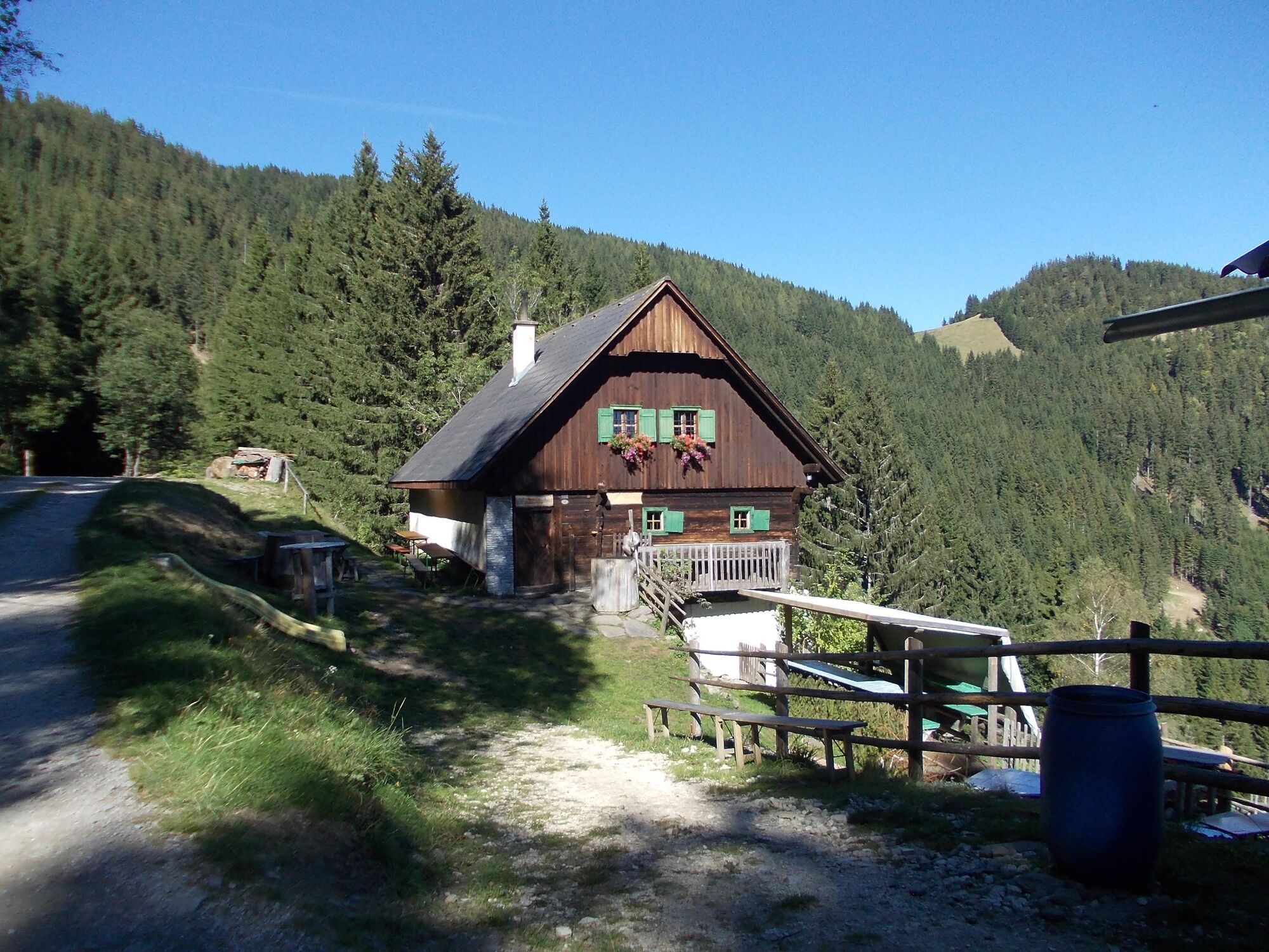
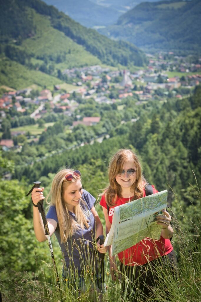
The shortest way to the mountain pasture!
- Moeilijkheid
-
medium
- Waardering
-
- Route
-
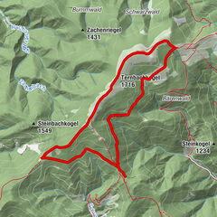
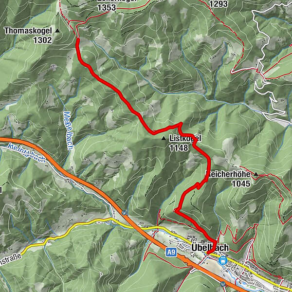
Übelbach0,0 kmMichaelskapelle0,1 kmHubertuskreuz2,9 kmPlotscherbauer6,3 km
- Beste seizoen
-
janfebmrtaprmeijunjulaugsepoktnovdec
- Maximale hoogte
- 1.153 m
- Bestemming
-
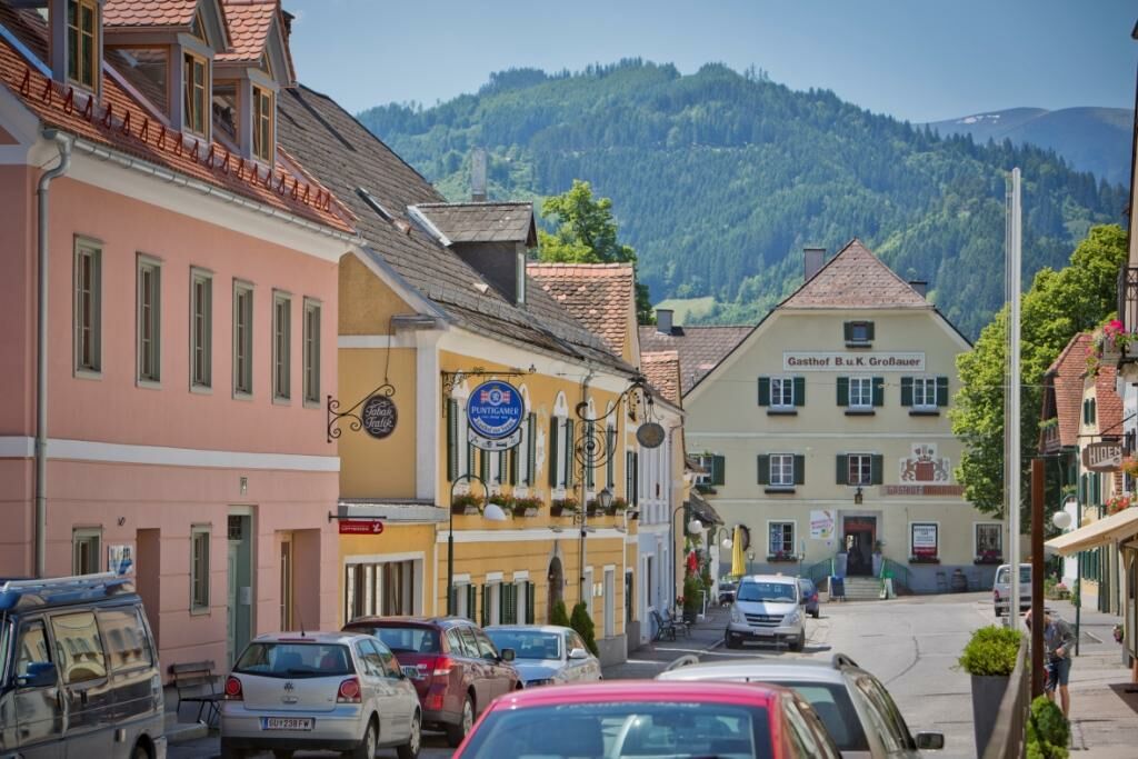
Übelbach market square
- Hoogteprofiel
-

-

-
AuteurDe rondleiding From Übelbach to the Plotscherbauer wordt gebruikt door outdooractive.com op.
GPS Downloads


Algemene info
Verfrissingsstop
Meer rondleidingen in de regio's
-
Erlebnisregion Graz
2781
-
OberGraz
1730
-
Übelbach
327