© Tourismusverband Region Murau - Tom Lamm


© Tourismusverband Region Murau - Anton Schwaiger

- Korte beschrijving
-
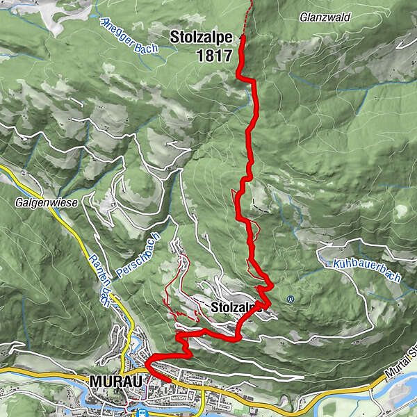
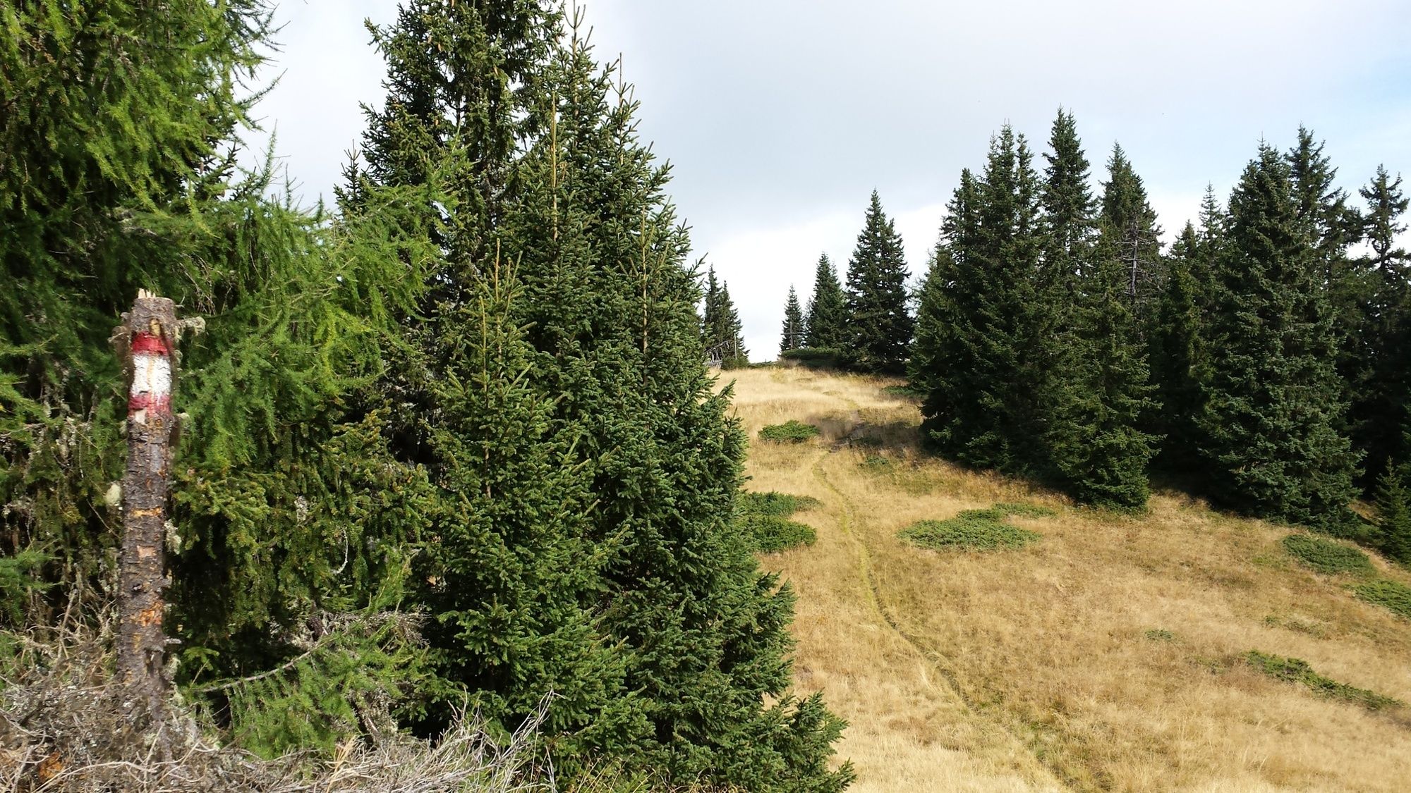
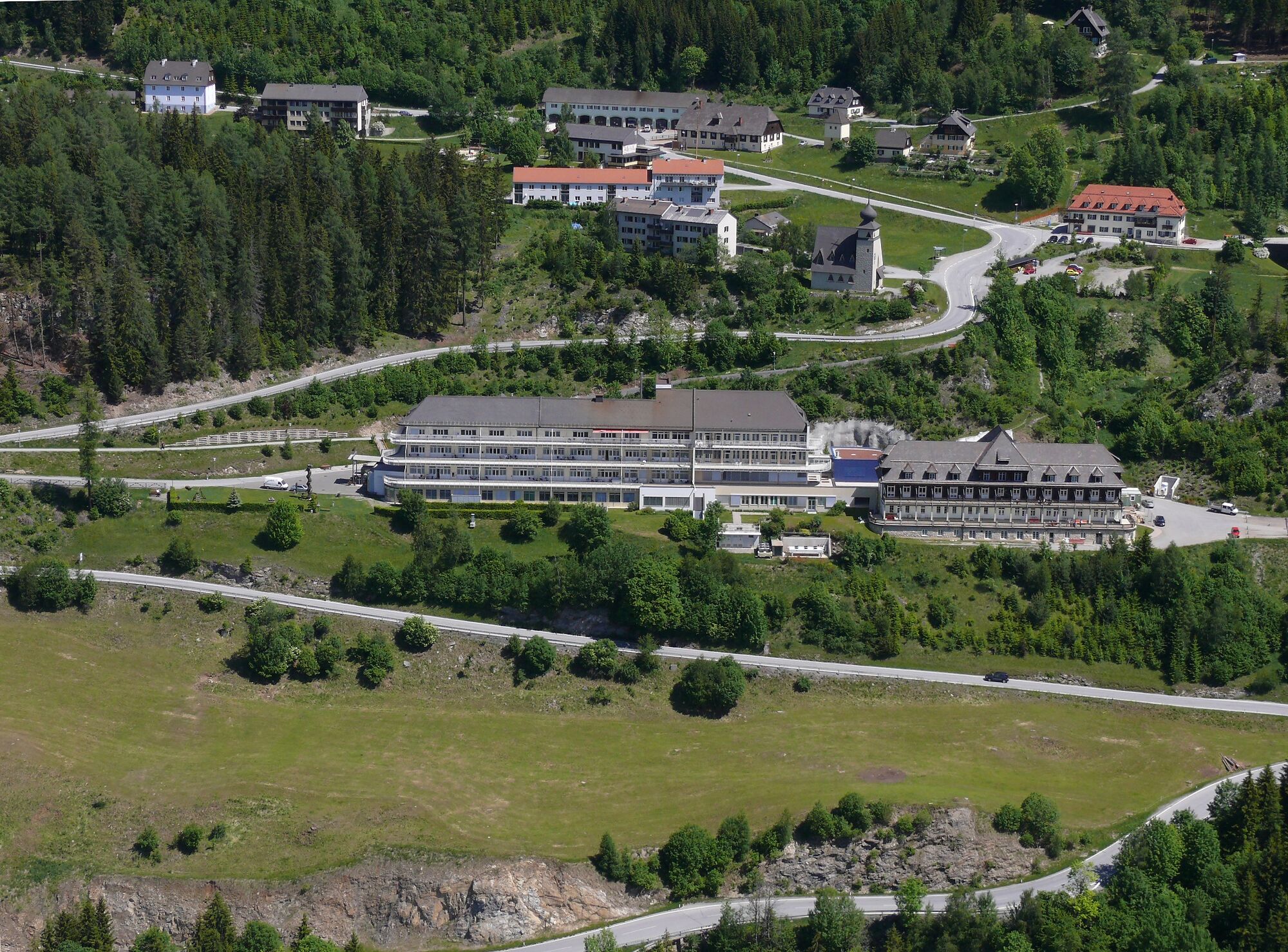
This particularly rewarding hike runs from the district town of Murau up to the summit of the Stolzalpe.
- Moeilijkheid
-
gemakkelijk
- Waardering
-
- Route
-
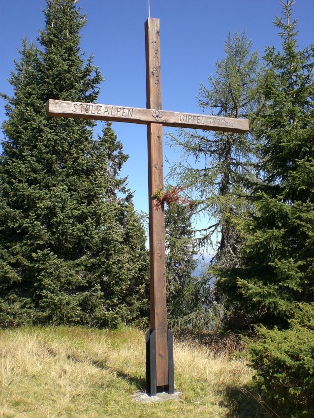
Murau (829 m)0,4 kmMesskapelle zum Hl. Erlöser2,3 kmStolzalpe2,5 kmKapelle mit historischem Wegkreuz6,7 kmStolzalpe (1.817 m)7,0 kmStolzalpe11,6 kmMesskapelle zum Hl. Erlöser11,7 kmMurau (829 m)13,8 km
- Beste seizoen
-
janfebmrtaprmeijunjulaugsepoktnovdec
- Maximale hoogte
- 1.808 m
- Bestemming
-
Stolzalpe summit - Murau
- Hoogteprofiel
-


- Auteur
-
De rondleiding Route to the Stolzalpe summit wordt gebruikt door outdooractive.com op.
GPS Downloads


Algemene info
Cultureel/Historisch
Veelbelovend
Meer rondleidingen in de regio's
-
TourismusRegion Murau
1743
-
Naturpark Zirbitzkogel - Grebenzen
668
-
Murau
151