© Erlebnisregion Murtal - 50plus Campingpark Fisching

© Erlebnisregion Murtal - 50plus Campingpark Fisching

© Erlebnisregion Murtal - 50plus Campingpark Fisching

© Erlebnisregion Murtal - 50plus Campingpark Fisching

© Erlebnisregion Murtal - 50plus Campingpark Fisching

© Erlebnisregion Murtal - 50plus Campingpark Fisching

© Erlebnisregion Murtal - 50plus Campingpark Fisching

© Erlebnisregion Murtal - 50plus Campingpark Fisching

© Erlebnisregion Murtal - 50plus Campingpark Fisching

© Erlebnisregion Murtal - 50plus Campingpark Fisching

- Korte beschrijving
- Moeilijkheid
-
gemakkelijk
- Waardering
-
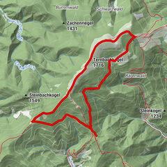
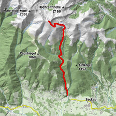
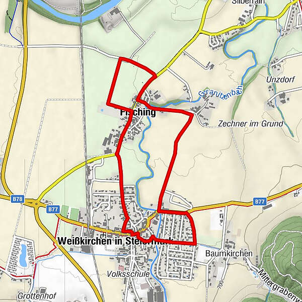
- Route
-
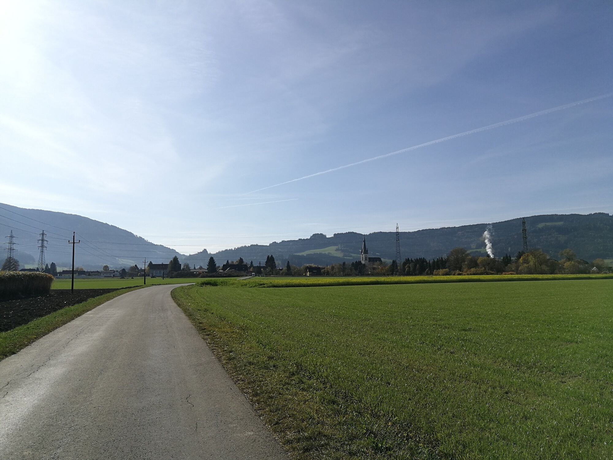
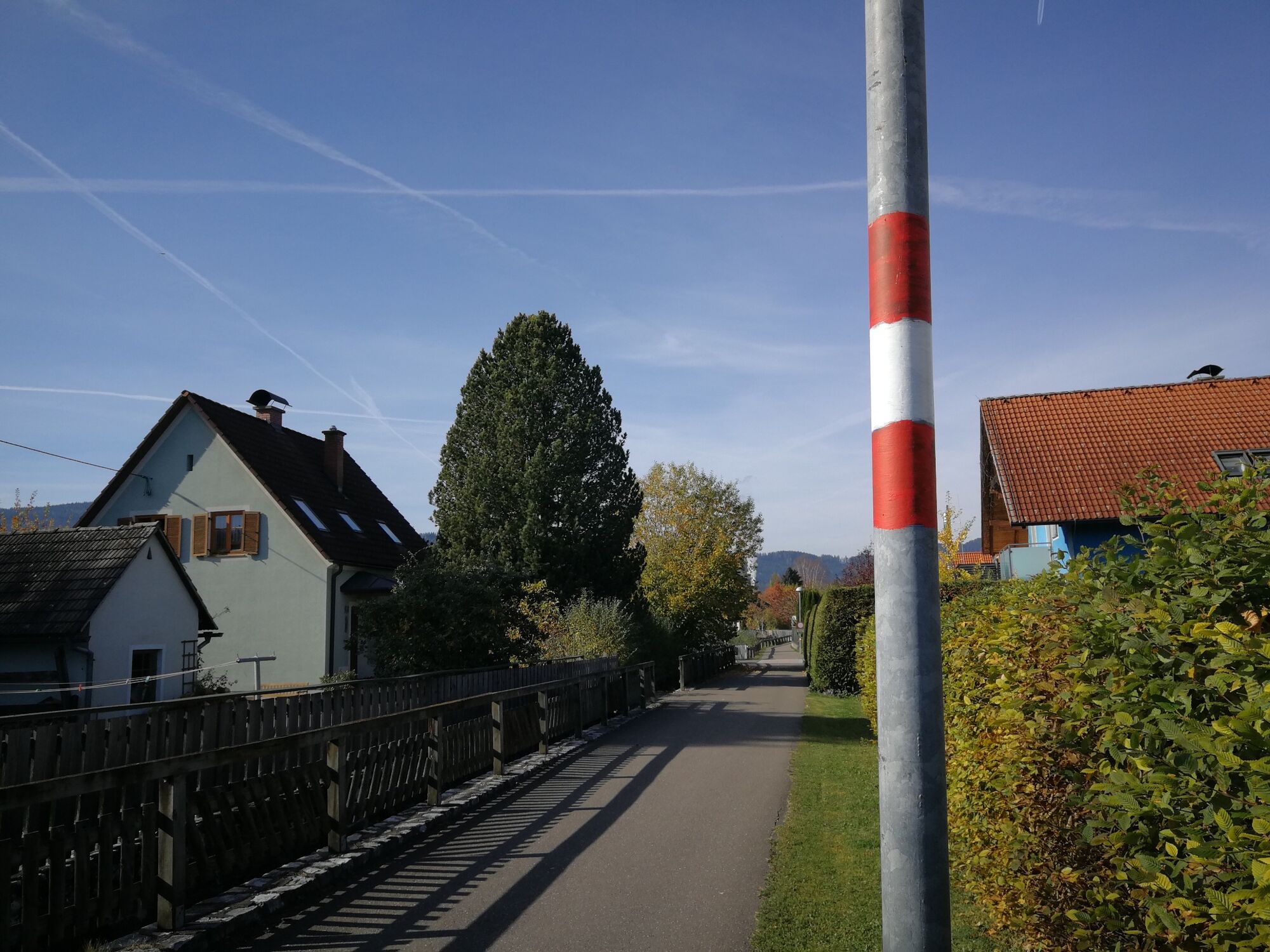
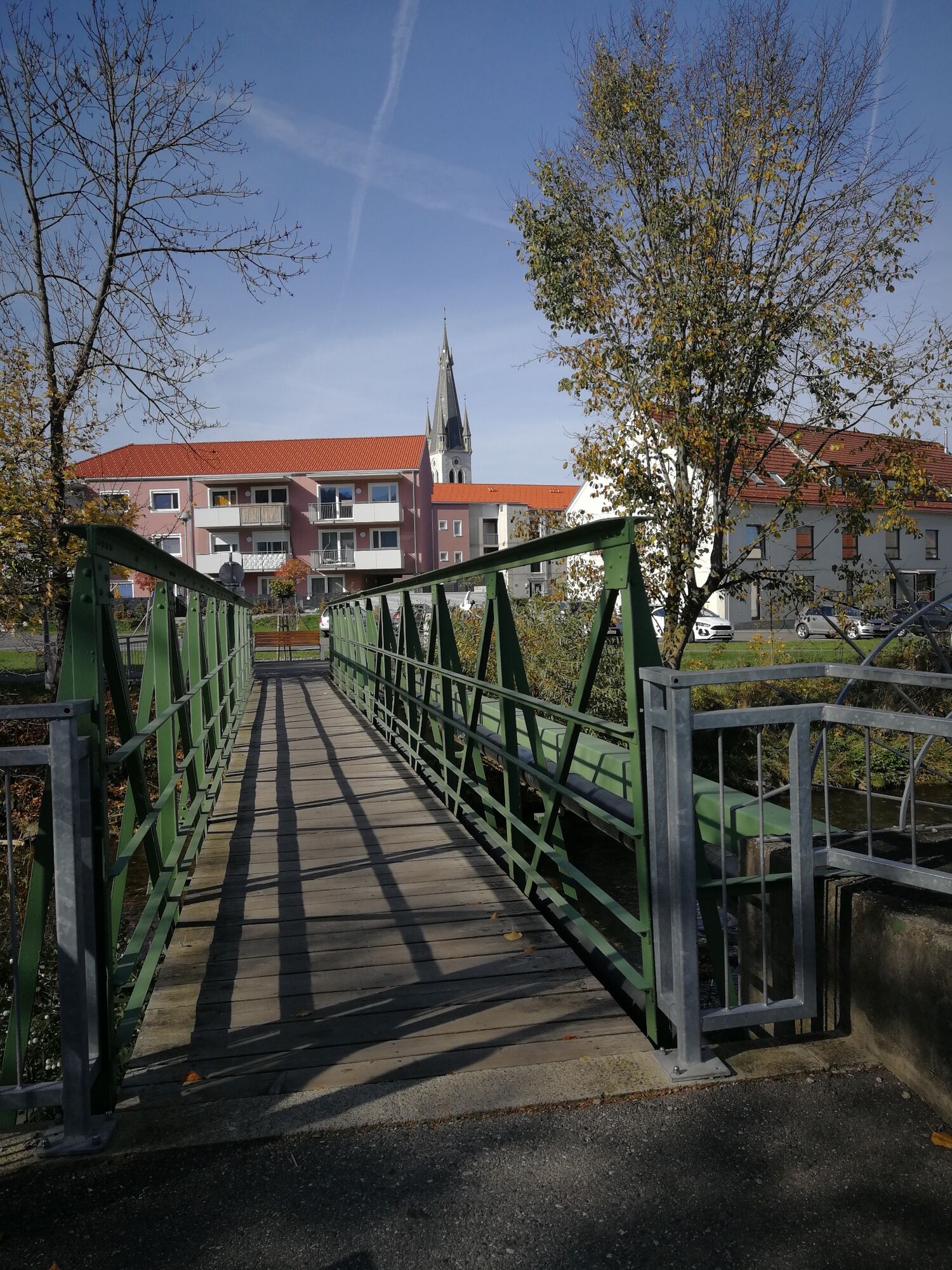
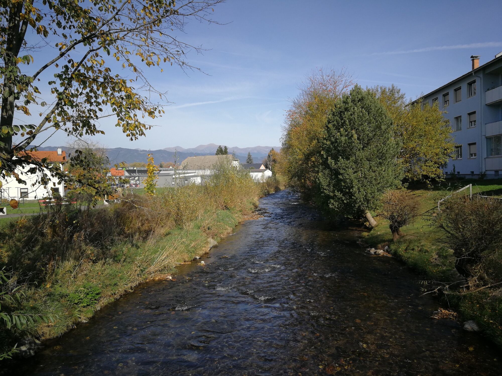
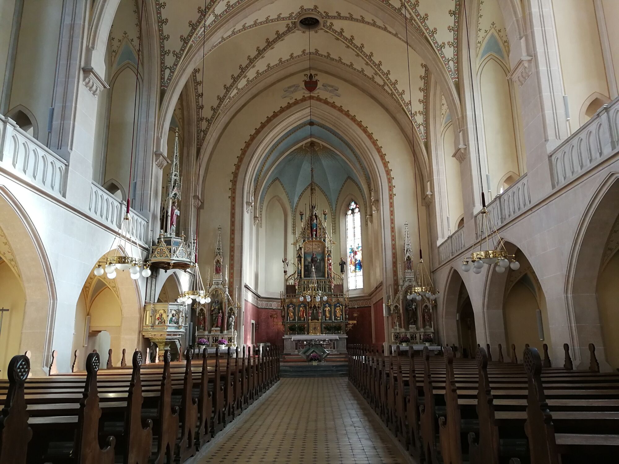
Landgasthaus Liebmann0,5 kmWeißkirchen in Steiermark2,8 kmPfarrkirche hl. Veit3,1 kmFisching4,3 km
- Beste seizoen
-
janfebmrtaprmeijunjulaugsepoktnovdec
- Maximale hoogte
- 688 m
- Bestemming
-
Fisching parking lot
- Hoogteprofiel
-


-

-
AuteurDe rondleiding discover Weißkirchen via your tongue wordt gebruikt door outdooractive.com op.
GPS Downloads


Algemene info
Verfrissingsstop
Veelbelovend
Meer rondleidingen in de regio's