© Tourismusverband Region Murau - Tom Lamm

© Tourismusverband Region Murau - Wilfried Kaufmann

- Korte beschrijving
-
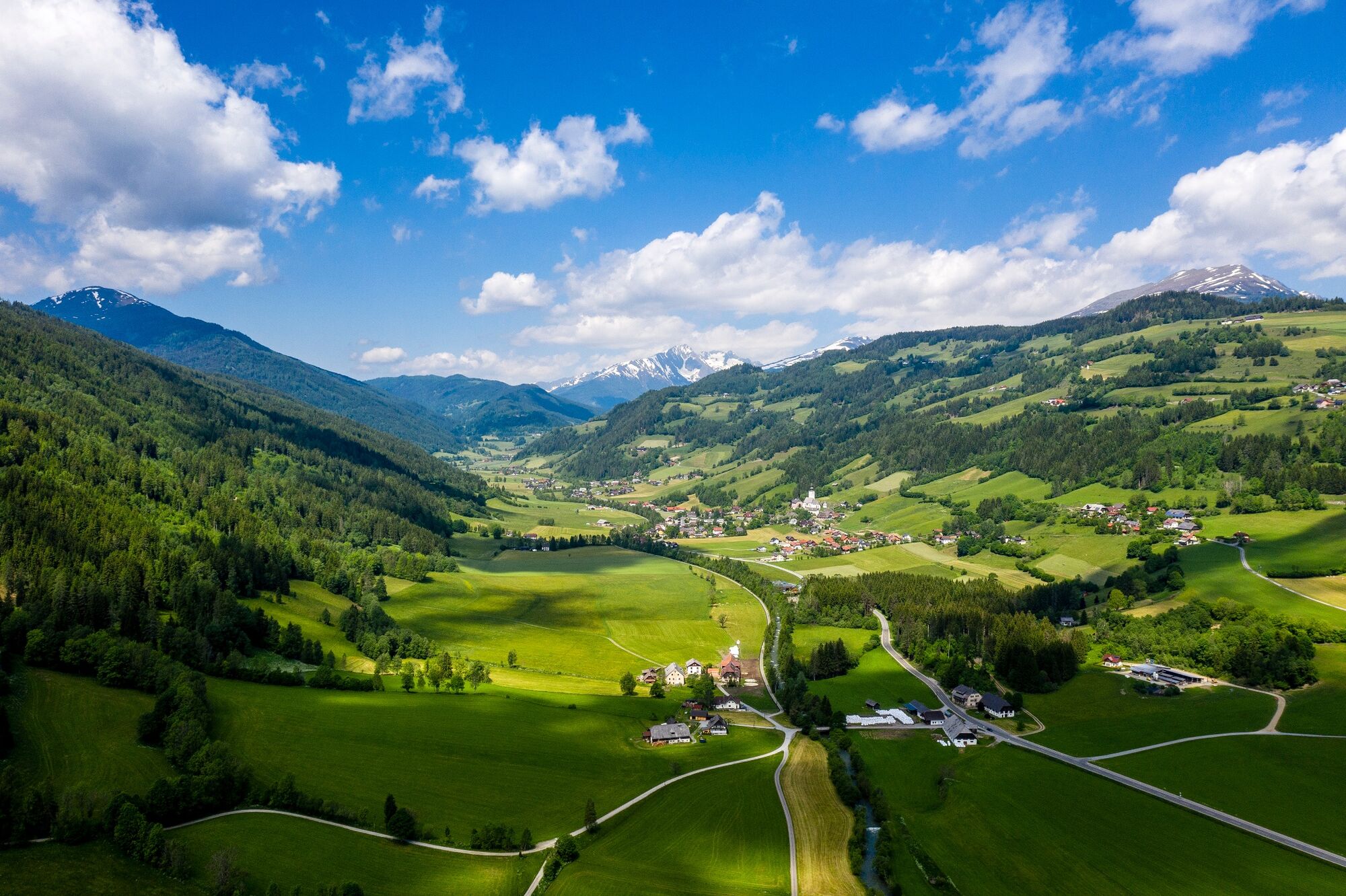
An intermediate level hike on the forest path with gentle ascents and a beautiful view of the Rantental, the Freiberg and the Krakautal featuring the Preber mountain.
- Moeilijkheid
-
medium
- Waardering
-
- Route
-
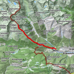
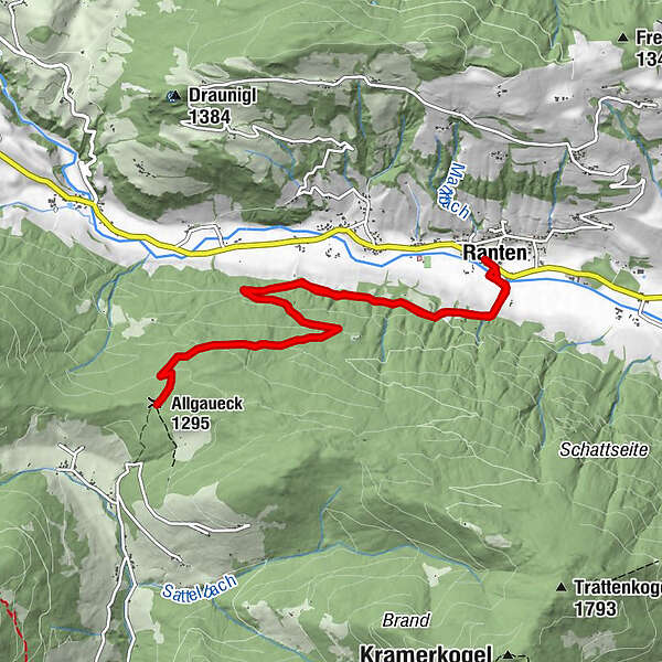
Ranten0,1 kmAllgaueck-Kreuz5,4 kmAllgaueck (1.295 m)5,4 kmRanten10,8 km
- Beste seizoen
-
janfebmrtaprmeijunjulaugsepoktnovdec
- Maximale hoogte
- 1.308 m
- Bestemming
-
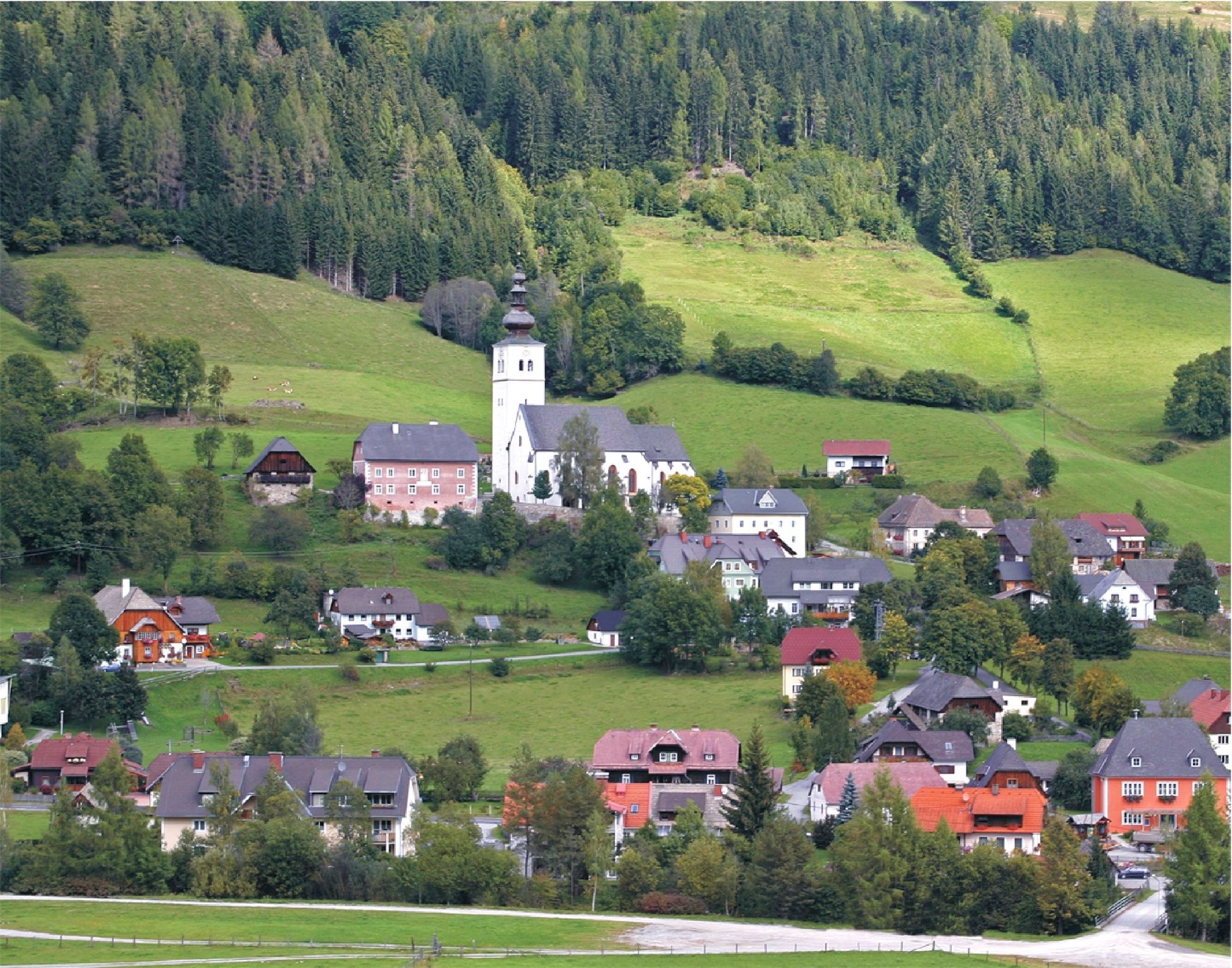
Gasthof Hammerschmied, Ranten
- Hoogteprofiel
-

- Auteur
-
De rondleiding From Ranten to the Allgaueck wordt gebruikt door outdooractive.com op.
GPS Downloads


Algemene info
Cultureel/Historisch
Tip voor insiders
Veelbelovend
Meer rondleidingen in de regio's
-
TourismusRegion Murau
1746
-
Naturpark Sölktäler
931
-
Ranten
156