© Wolfgang Mitteregger - Team Erlebnisregion Murtal

- Korte beschrijving
-
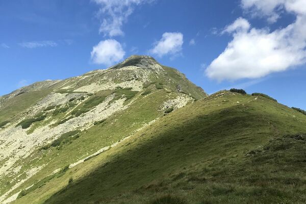
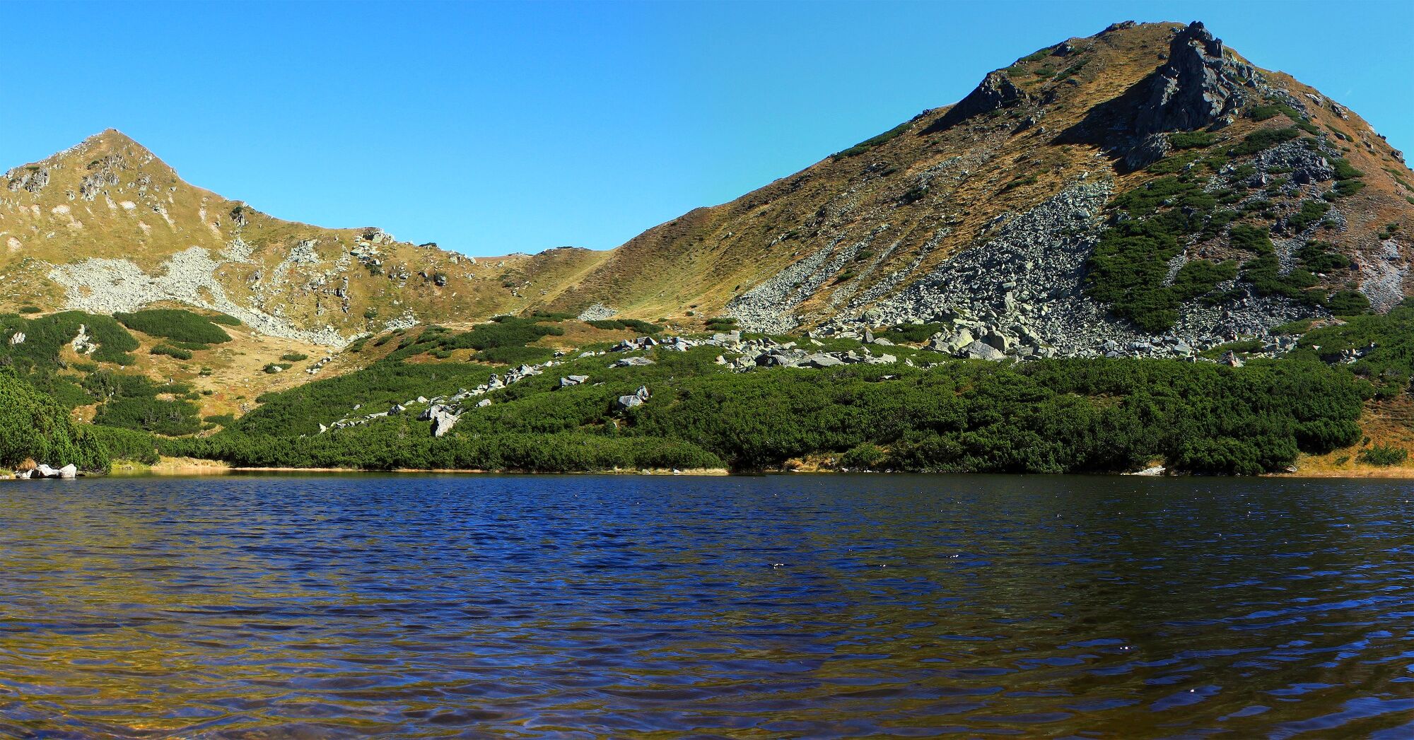
Experience hiking with all your senses - a paradisiacal landscape with a tranquil mountain lake in the Murtal adventure region.! A small bay in the south-east of the pitcher lake offers a paradise for grass frogs, whose lively activity can be observed. You should take the whole day for this hike to discover and enjoy all the natural spaces created!
- Moeilijkheid
-
medium
- Waardering
-
- Beste seizoen
-
janfebmrtaprmeijunjulaugsepoktnovdec
- Maximale hoogte
- 1.846 m
- Bestemming
-
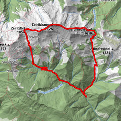
Krugsee / unmarked variant Krugspitze
- Hoogteprofiel
-

-

-
AuteurDe rondleiding Krugsee wordt gebruikt door outdooractive.com op.
GPS Downloads


Algemene info
Tip voor insiders
Veelbelovend
Meer rondleidingen in de regio's
-
Erlebnisregion Murtal
1783
-
Pölstal
198