


- Korte beschrijving
-
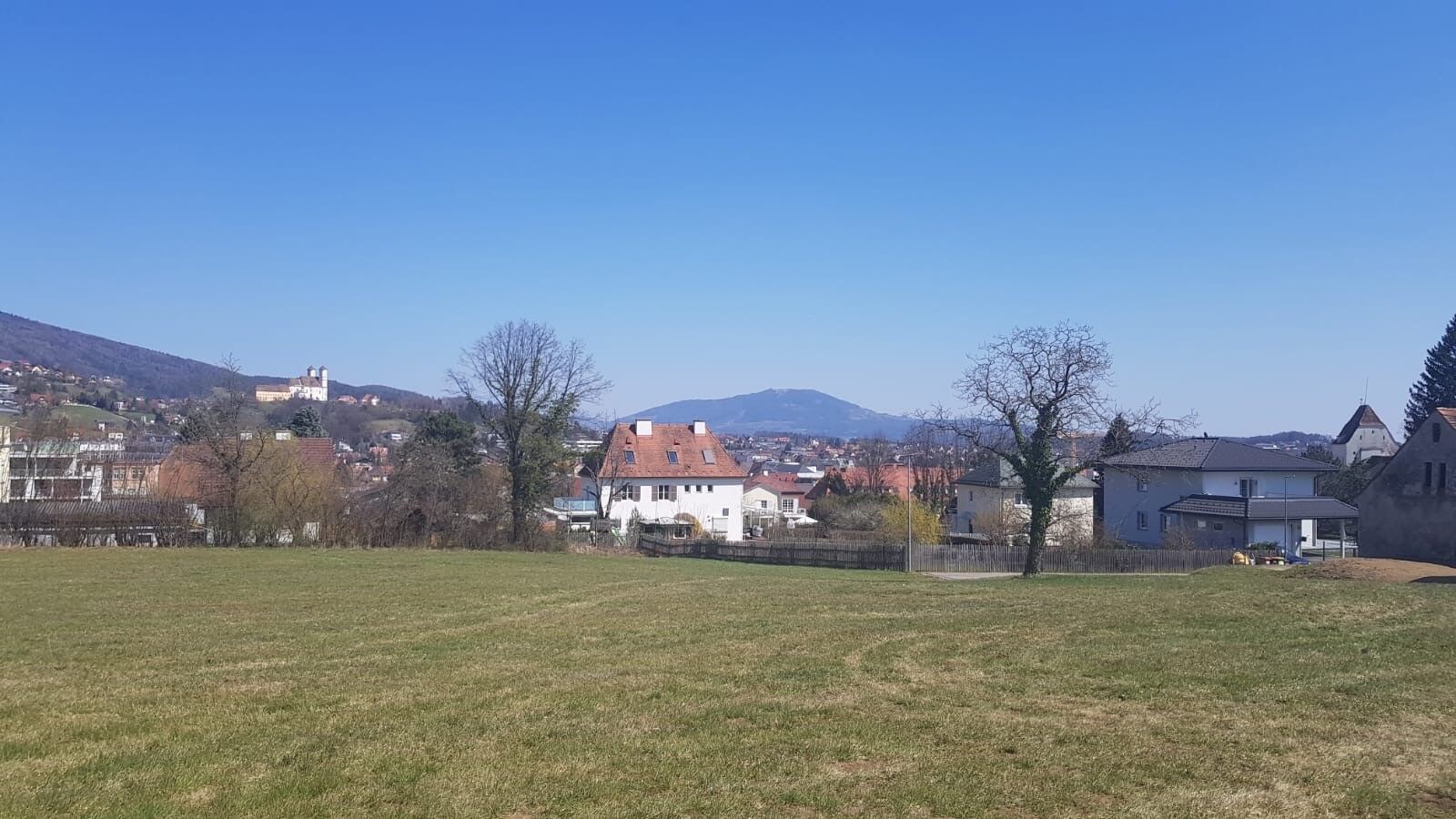
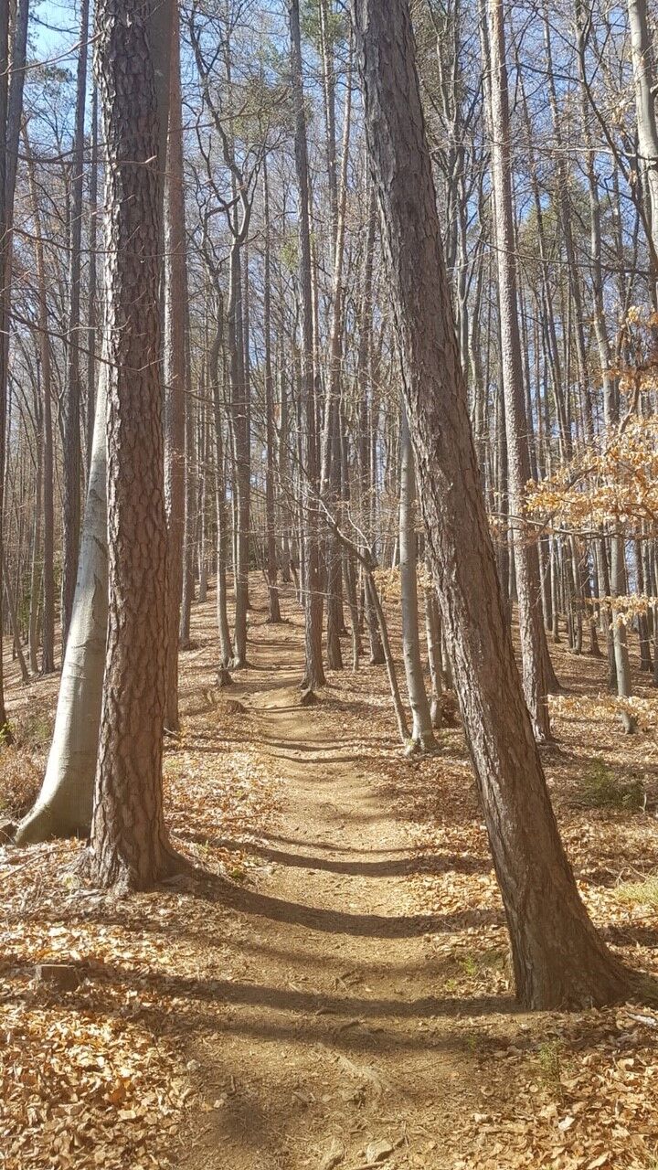
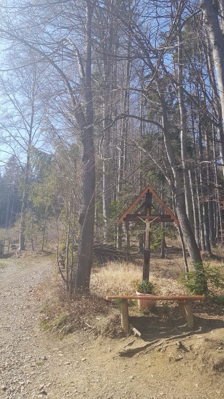
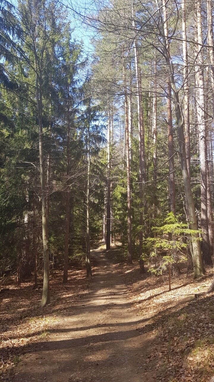
The hike starts directly at the main square in Weiz and leads into the first forest section after just a few minutes. It offers different paths over asphalt, meadow and forest.
- Moeilijkheid
-
medium
- Waardering
-
- Route
-
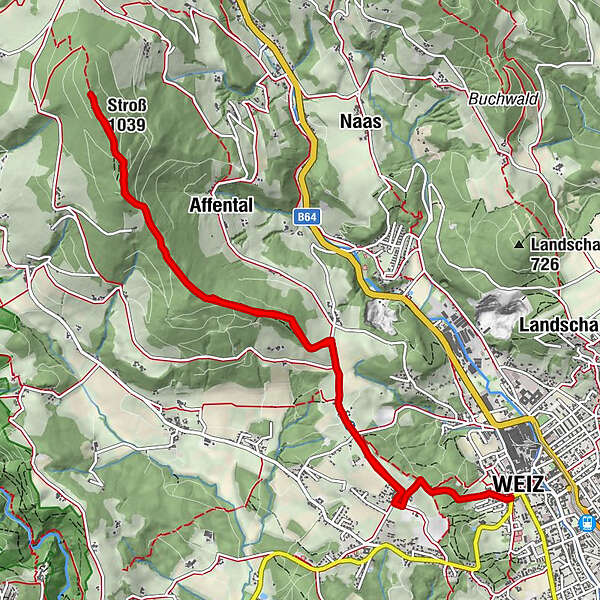
WeizTaborkirche hl. Thomas von Canterbury0,0 kmZattach2,1 kmStroß (1.039 m)6,1 kmZattach10,4 kmWeiz12,4 kmTaborkirche hl. Thomas von Canterbury12,6 km
- Beste seizoen
-
janfebmrtaprmeijunjulaugsepoktnovdec
- Maximale hoogte
- 1.032 m
- Bestemming
-
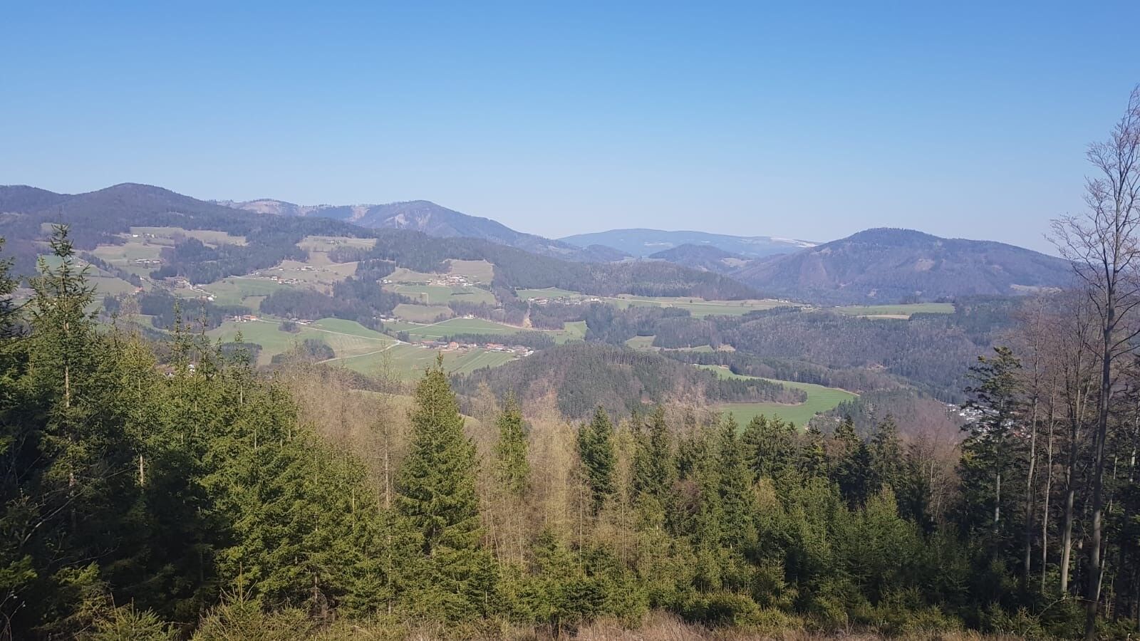
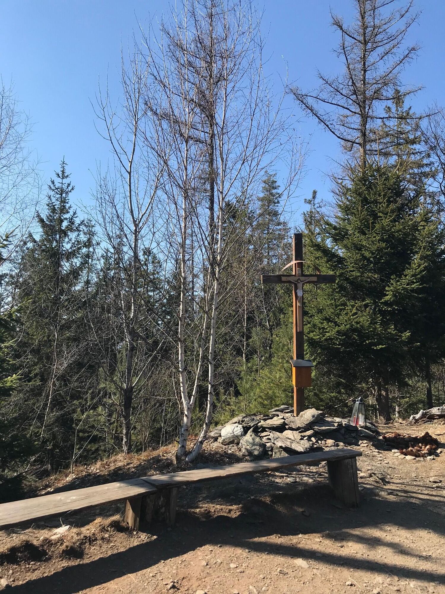
Summit Cross Stross
- Hoogteprofiel
-


-

-
AuteurDe rondleiding Hiking trail from Weiz to the Stross wordt gebruikt door outdooractive.com op.
GPS Downloads


Meer rondleidingen in de regio's
-
Erlebnisregion Graz
2783
-
Naturpark Almenland
1767
-
Naas
502


