© Oststeiermark Tourismus - Christine Pollhammer

© Pollhammer - Christine Pollhammer

© Oststeiermark Tourismus - Christine Pollhammer

© Oststeiermark Tourismus - Christine Pollhammer

© Oststeiermark Tourismus - Christine Pollhammer

© Oststeiermark Tourismus - Christine Pollhammer

© Oststeiermark Tourismus - Christine Pollhammer

© Oststeiermark Tourismus - Christine Pollhammer

© Oststeiermark Tourismus - Christine Pollhammer

© Oststeiermark Tourismus - Christine Pollhammer

- Korte beschrijving
-
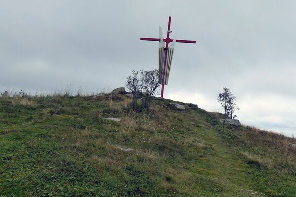
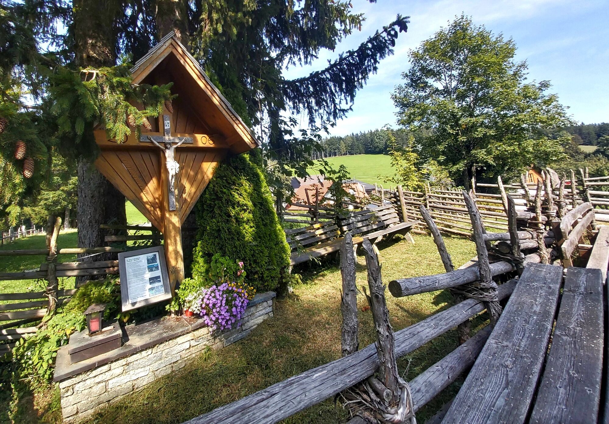
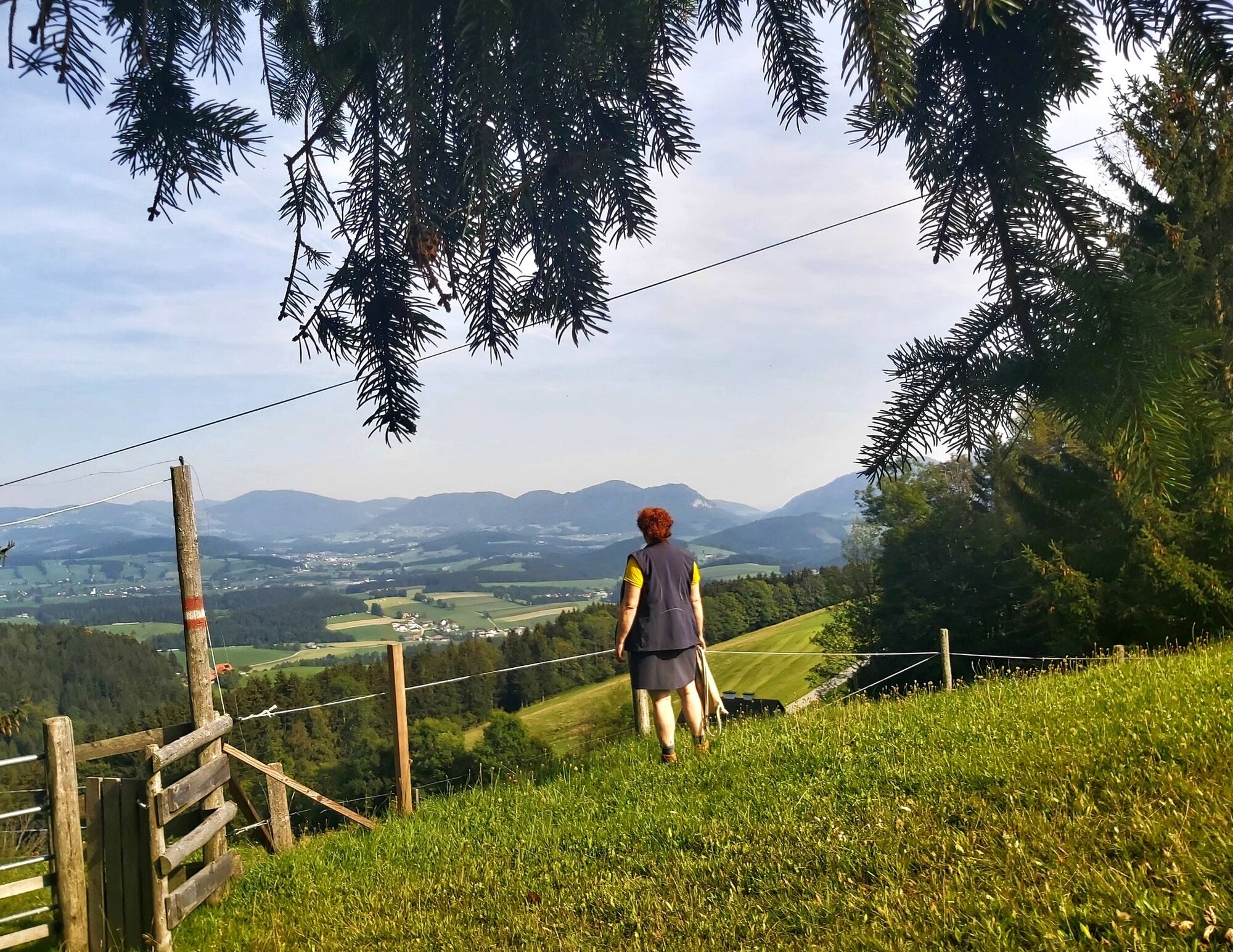
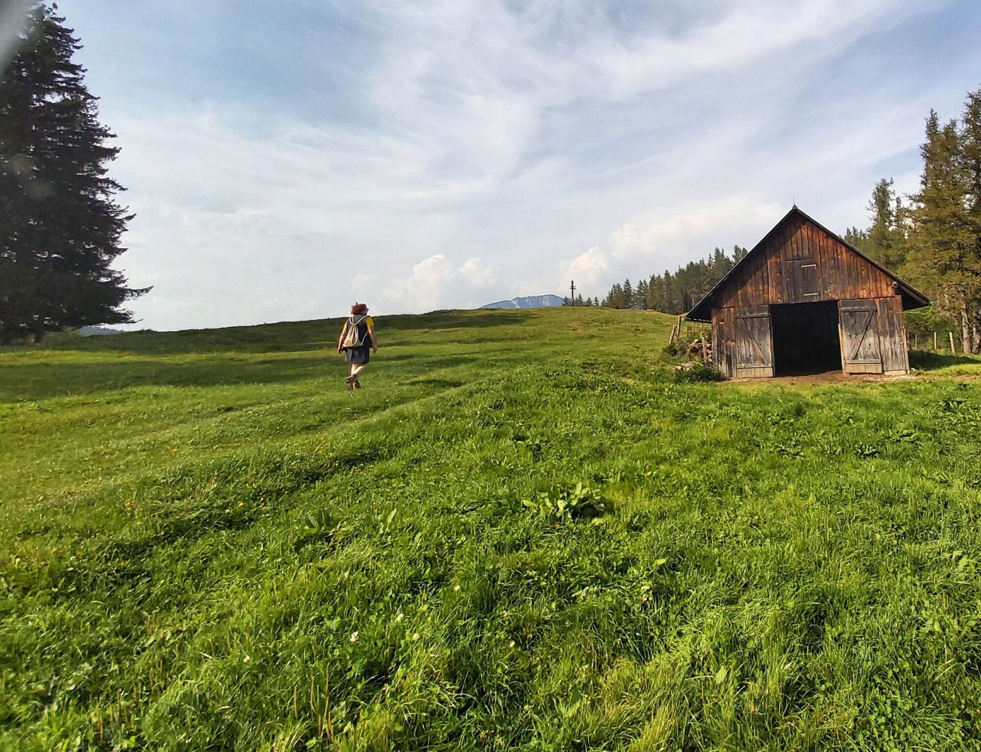
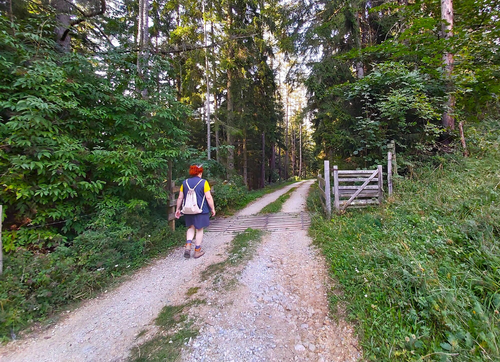
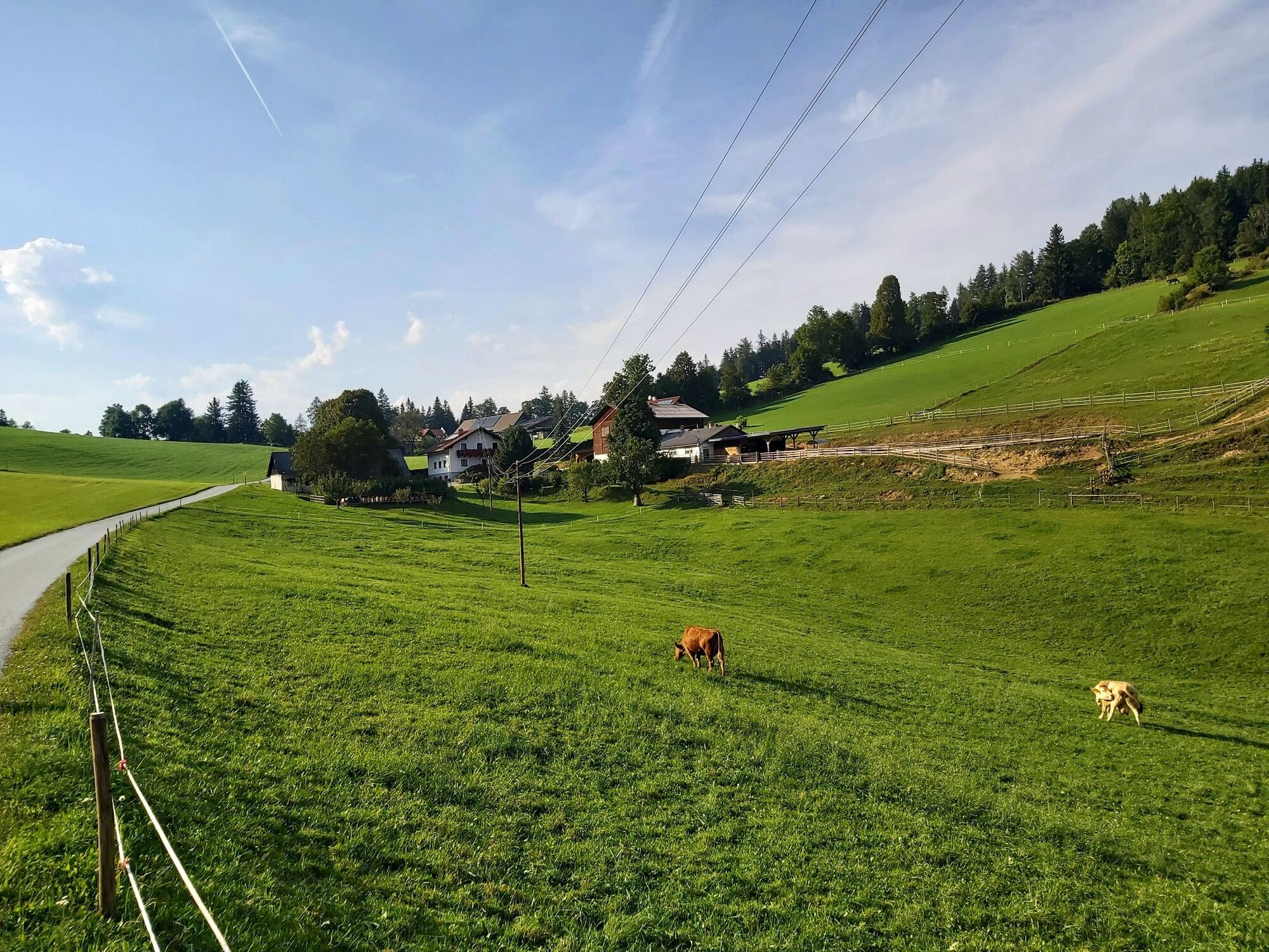
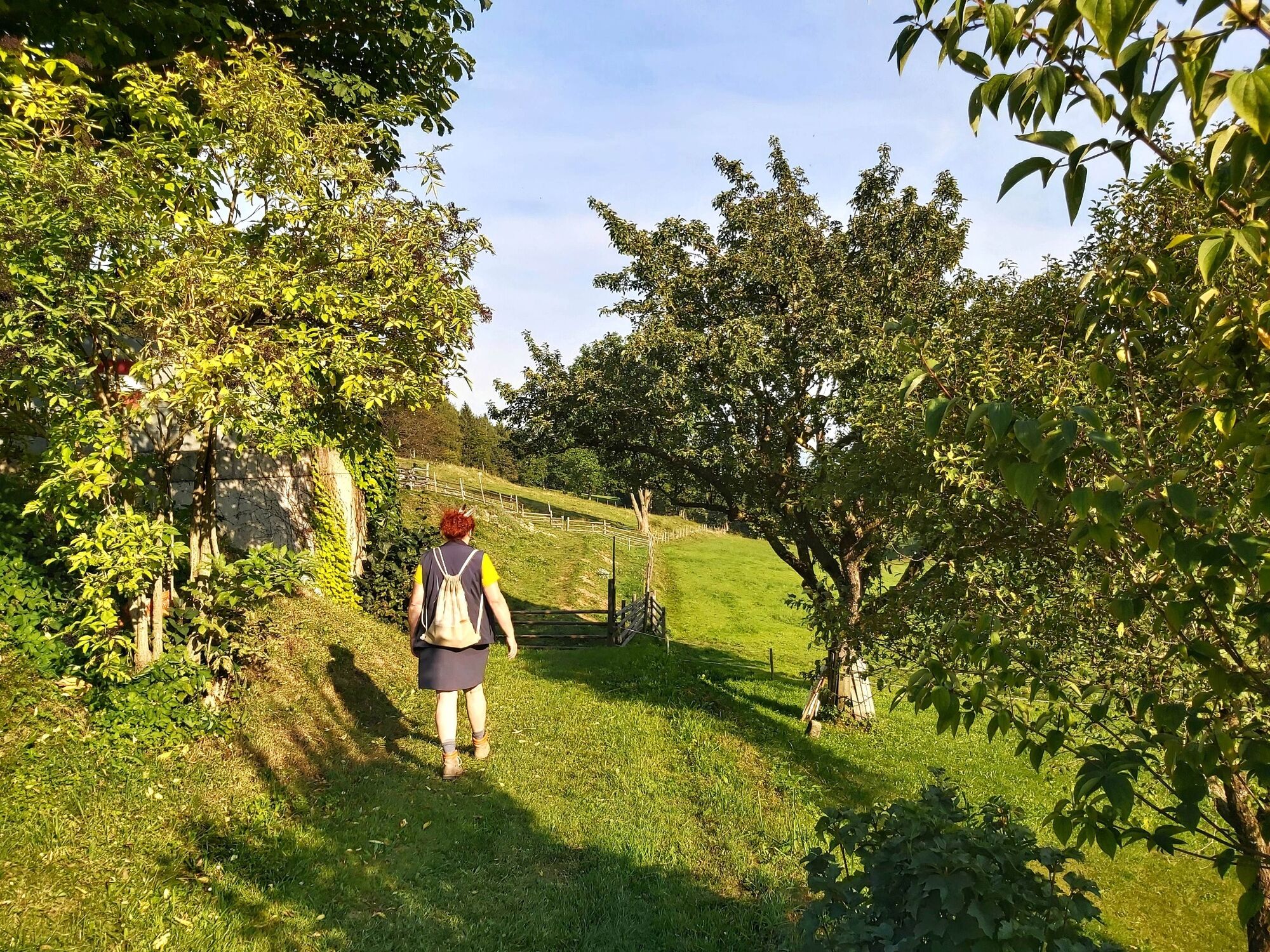
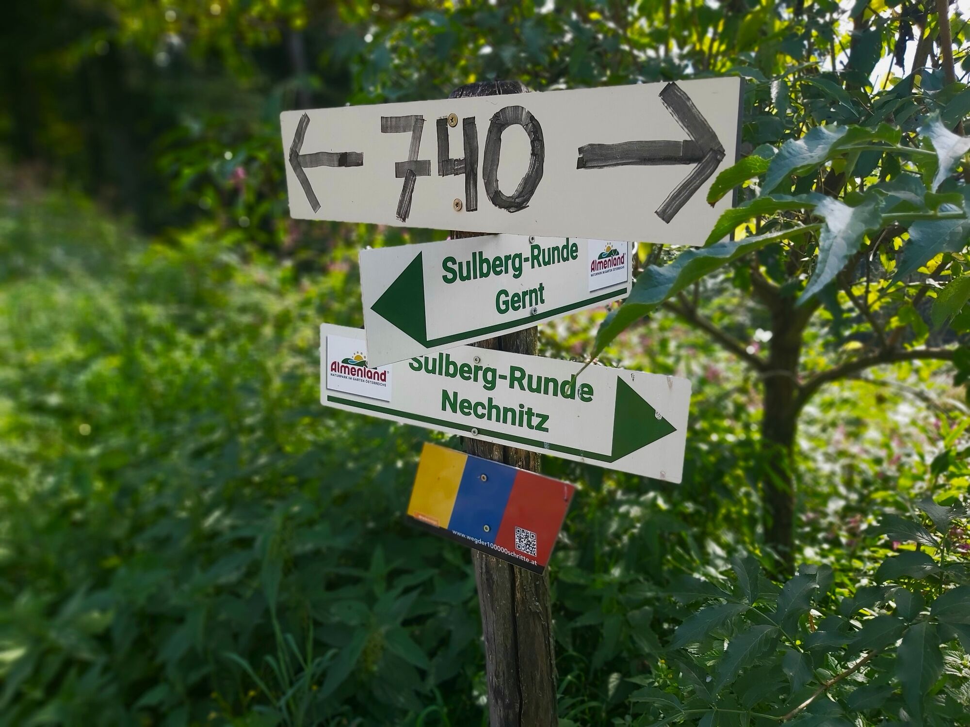
A leisurely hike around the Nechnitz plateau - with views of the Rote Wand, into the Mur valley and from the Schöckl to eastern Styria.
- Moeilijkheid
-
medium
- Waardering
-
- Route
-
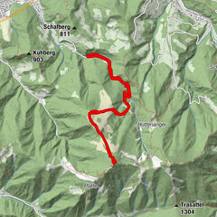
Gasthof Frankenhof0,0 kmNechnitz0,9 kmNechnitz8,9 kmGasthof Frankenhof10,4 km
- Beste seizoen
-
janfebmrtaprmeijunjulaugsepoktnovdec
- Maximale hoogte
- 1.074 m
- Bestemming
-
Nechnitz
- Hoogteprofiel
-


-

-
AuteurDe rondleiding Sulberg-Round from the Nechnitz wordt gebruikt door outdooractive.com op.
GPS Downloads


Algemene info
Verfrissingsstop
Tip voor insiders
Veelbelovend
Meer rondleidingen in de regio's