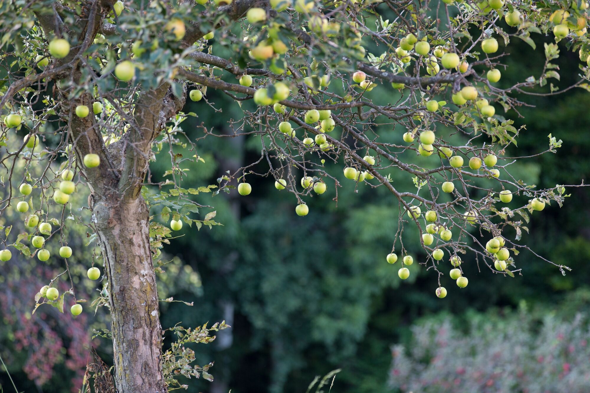
© Schilcherland Steiermark - Lupi Spuma

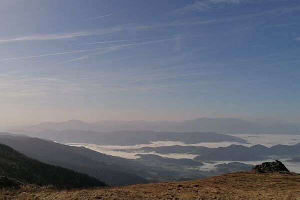
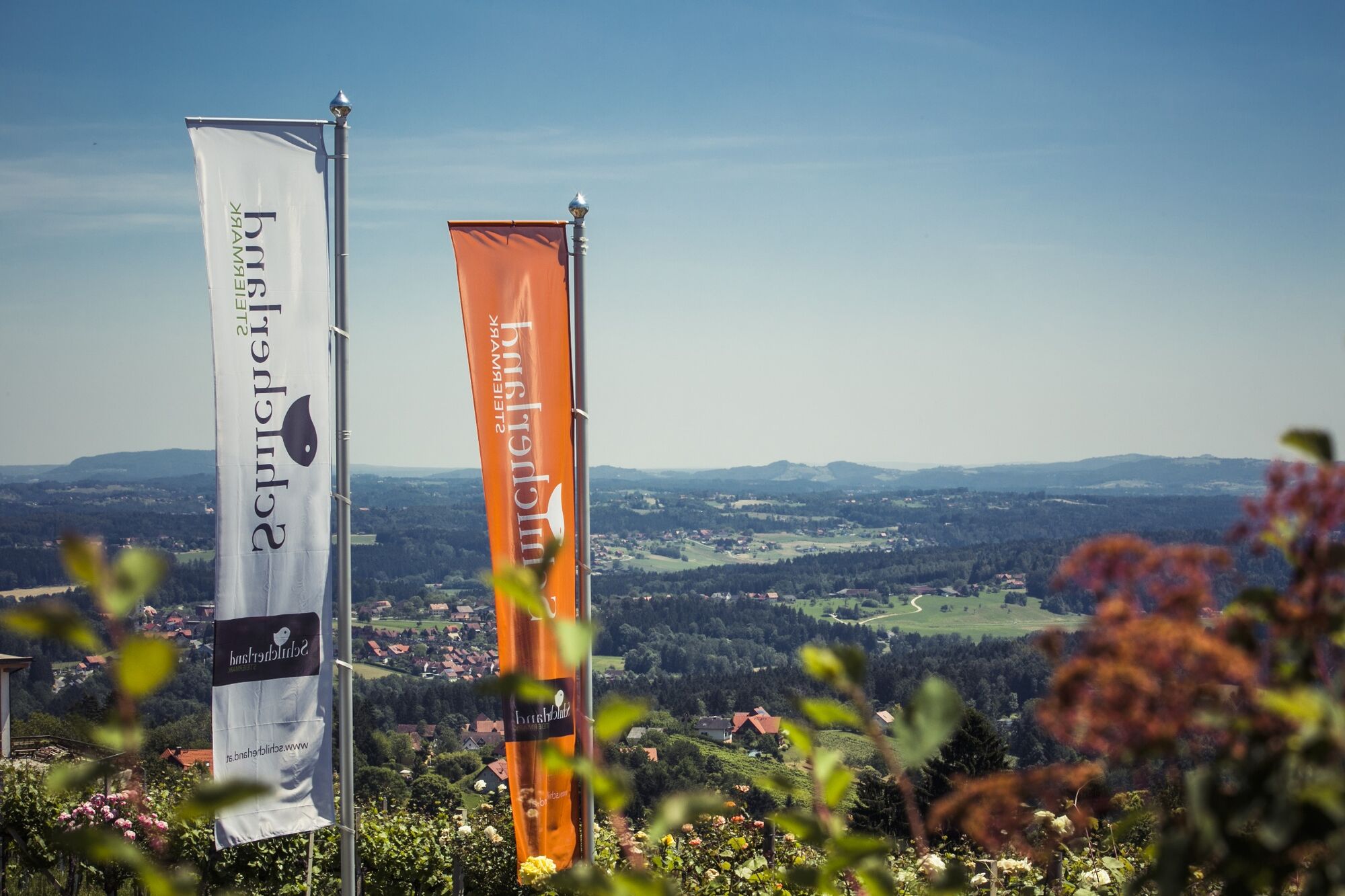
© Schilcherland Steiermark - Harry Schiffer

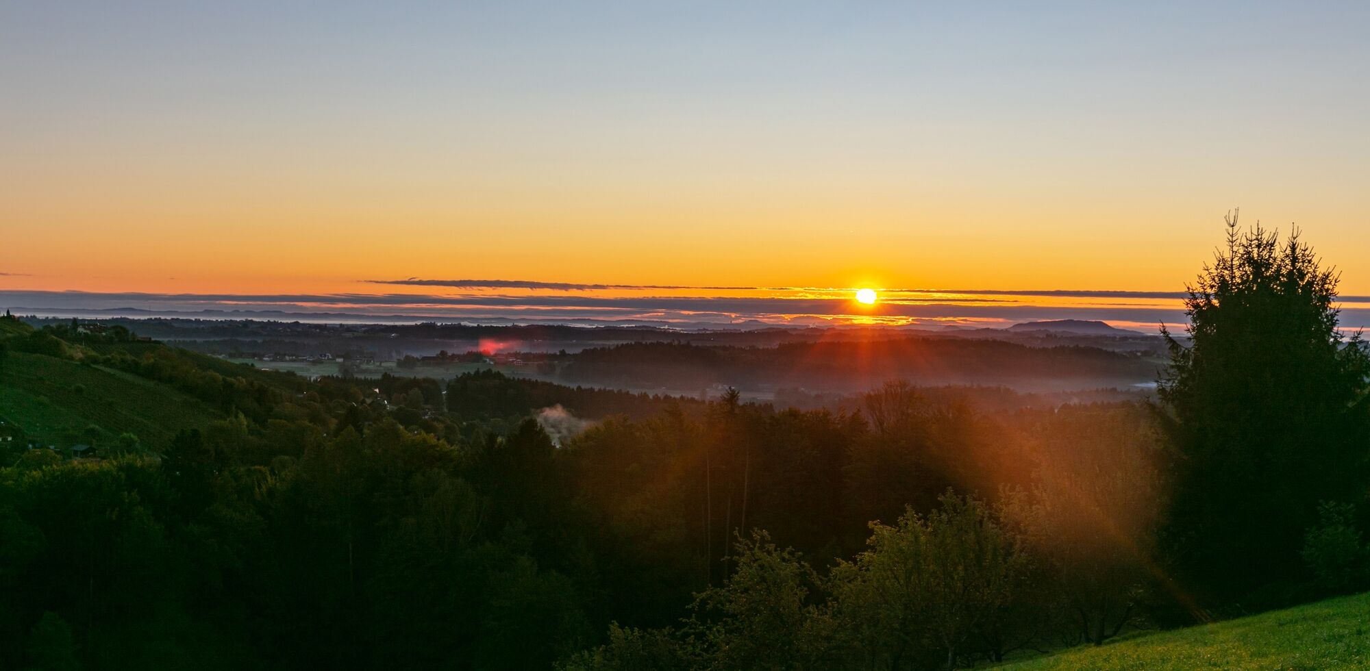
© Schilcherland Steiermark - Nadine Geuter

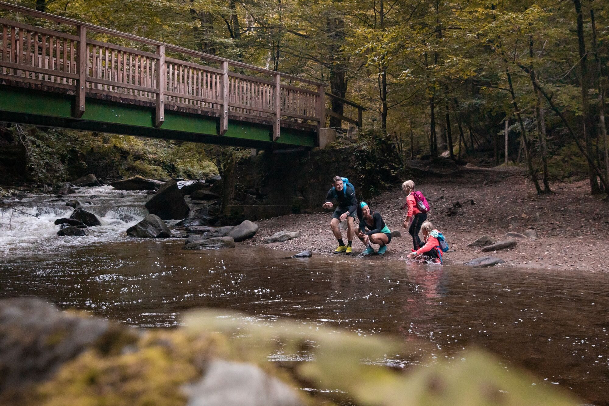
© Schilcherland Steiermark - Harry Schiffer

© Schilcherland Steiermark - Lupi Spuma

© Schilcherland Steiermark - Foto Augenblick

© Südsteiermark - Nadine Geuter
- Korte beschrijving
- Moeilijkheid
-
zwaar
- Waardering
-
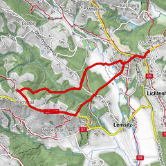
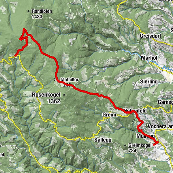
- Route
-
Kirchenwirt Nabernik0,3 kmBad Gams0,3 kmPfarrkirche Bad Gams0,3 kmWeststeirischer Hof0,7 kmMüllegg1,2 kmHohenfeld3,4 kmDörfl4,0 kmMothiltor (1.240 m)9,1 kmReinischkogel (1.463 m)13,5 km
- Beste seizoen
-
janfebmrtaprmeijunjulaugsepoktnovdec
- Maximale hoogte
- 1.460 m
- Bestemming
-
Reinischwirt Kloster
- Hoogteprofiel
-

-

-
AuteurDe rondleiding Forest hiking trail Bad Gams wordt gebruikt door outdooractive.com op.
GPS Downloads


Algemene info
Veelbelovend
Meer rondleidingen in de regio's
-
Erlebnisregion Graz
2783
-
Schilcherland Steiermark
1100
-
Reinischkogel
314