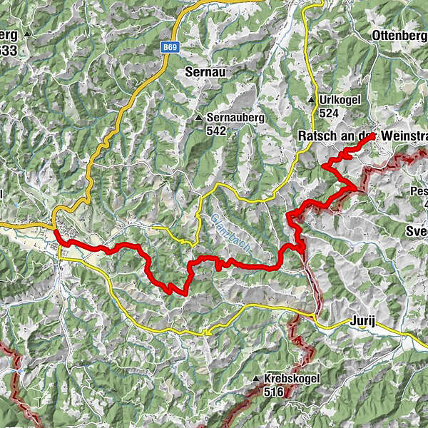
Stage 23 From Glacier to Wine South Route Leutschach - Ratsch an der Weinstraße

Wandelen
© (c) Steiermark Tourismus/Harry Schiffer - Harry Schiffer

© Steiermark - Das Grüne Herz

© (c) Steiermark Tourismus/Martina Traisch - Martina Traisch

© Steiermark Tourismus/Martina Traisch - Martina Traisch
© Steiermark Tourismus/Martina Traisch - Martina Traisch

© (c) Steiermark Tourismus/Harry Schiffer - Harry Schiffer

© (c) Steiermark Tourismus/Tom Lamm - Tom Lamm

© (c) Steiermark Tourismus/Martina Traisch - Martina Traisch

© (c) Steiermark Tourismus/Martina Traisch - Martina Traisch

© Steiermark Tourismus/Martina Traisch - Martina Traisch

- Korte beschrijving
-
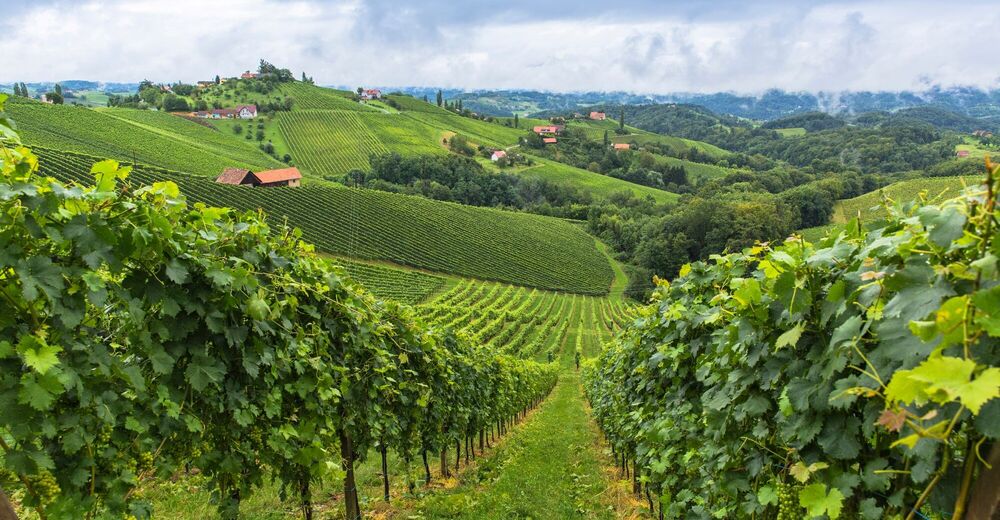
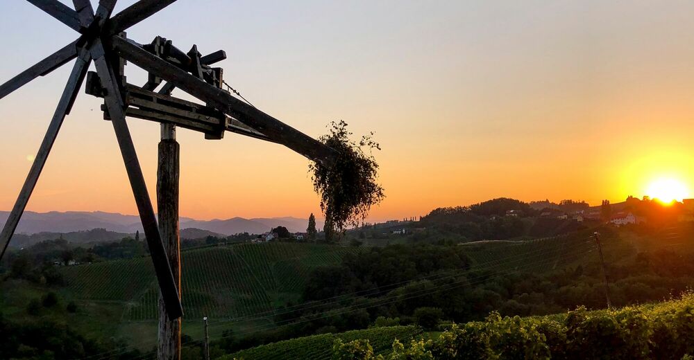
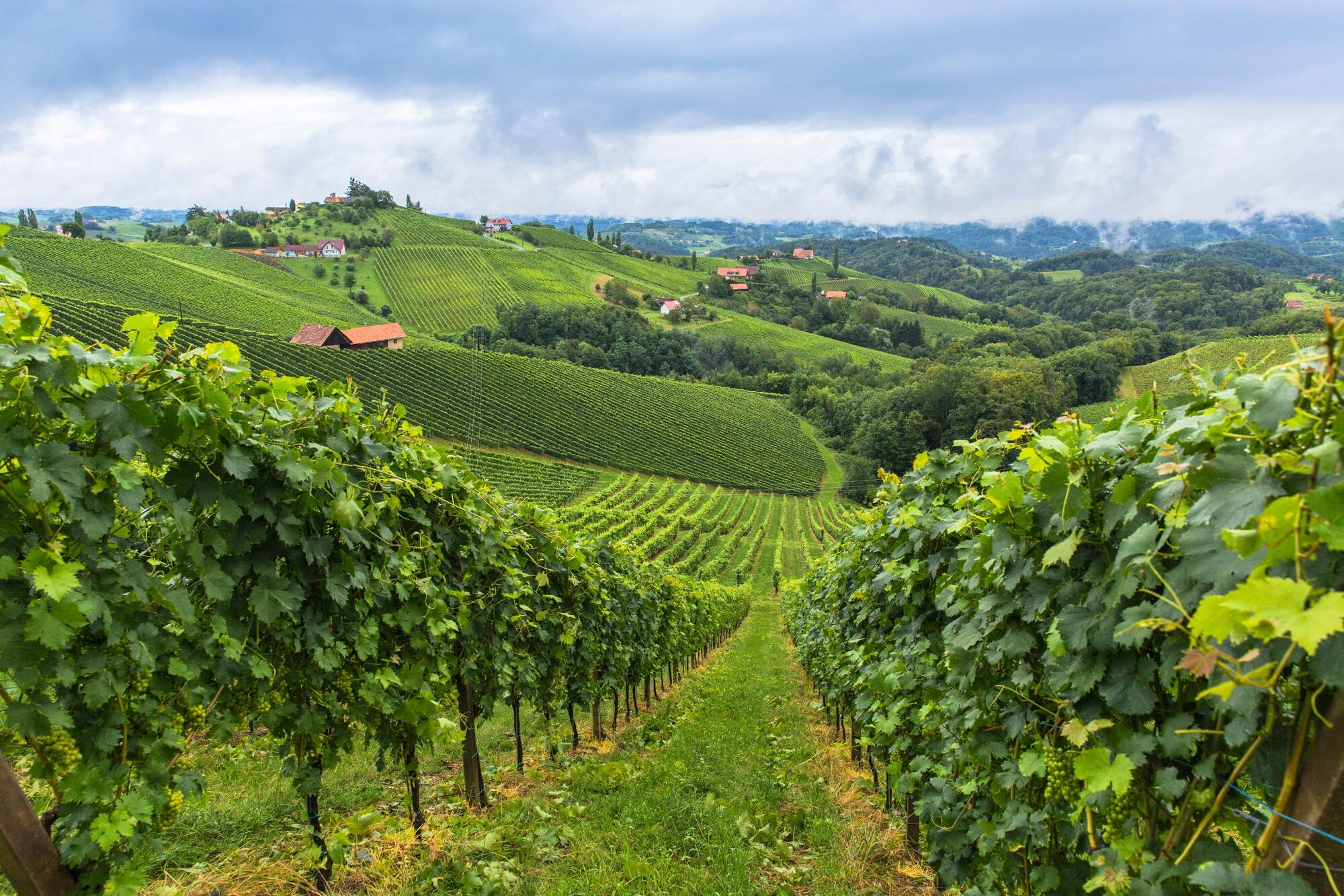
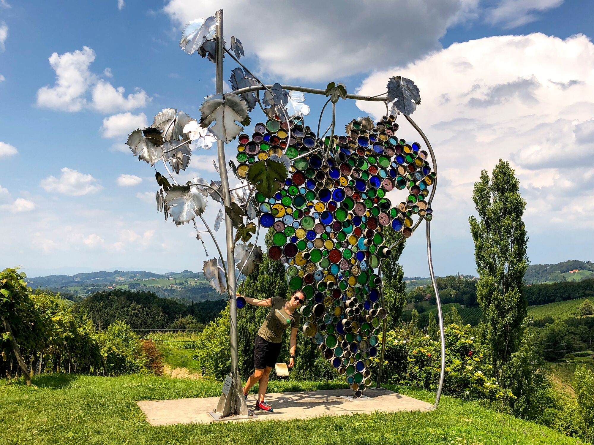
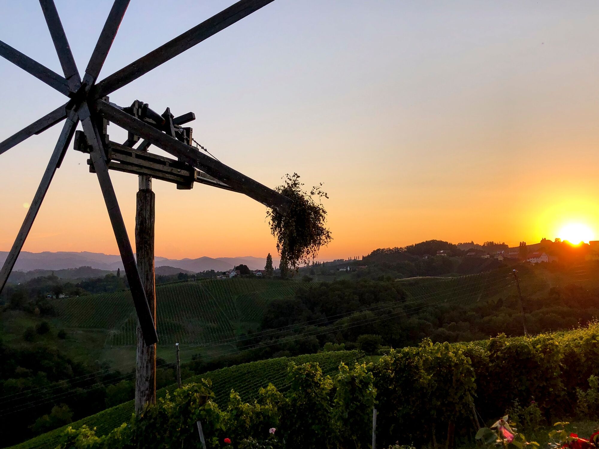
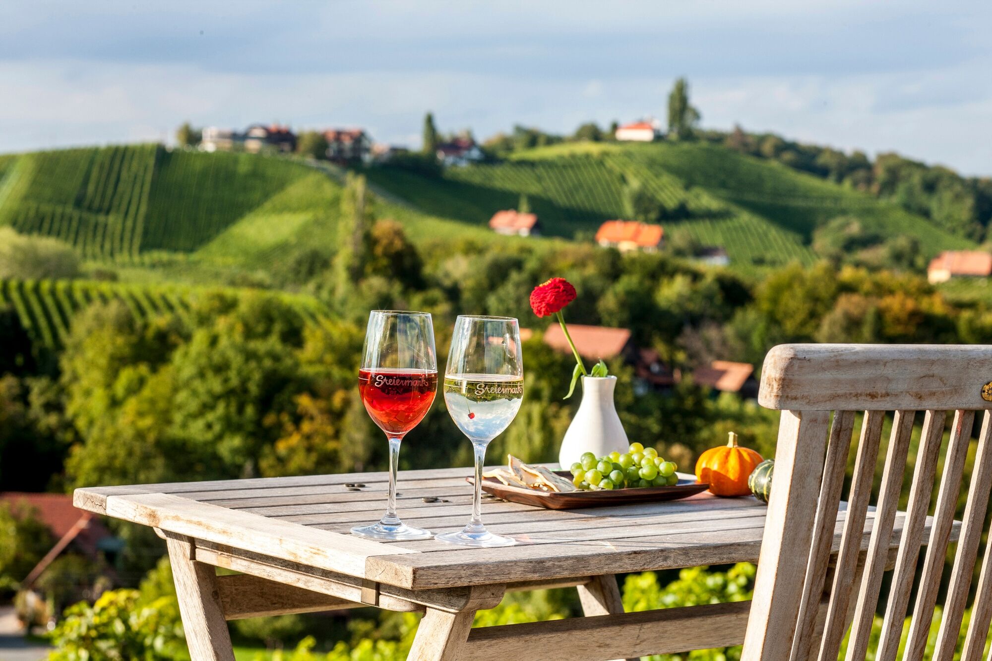
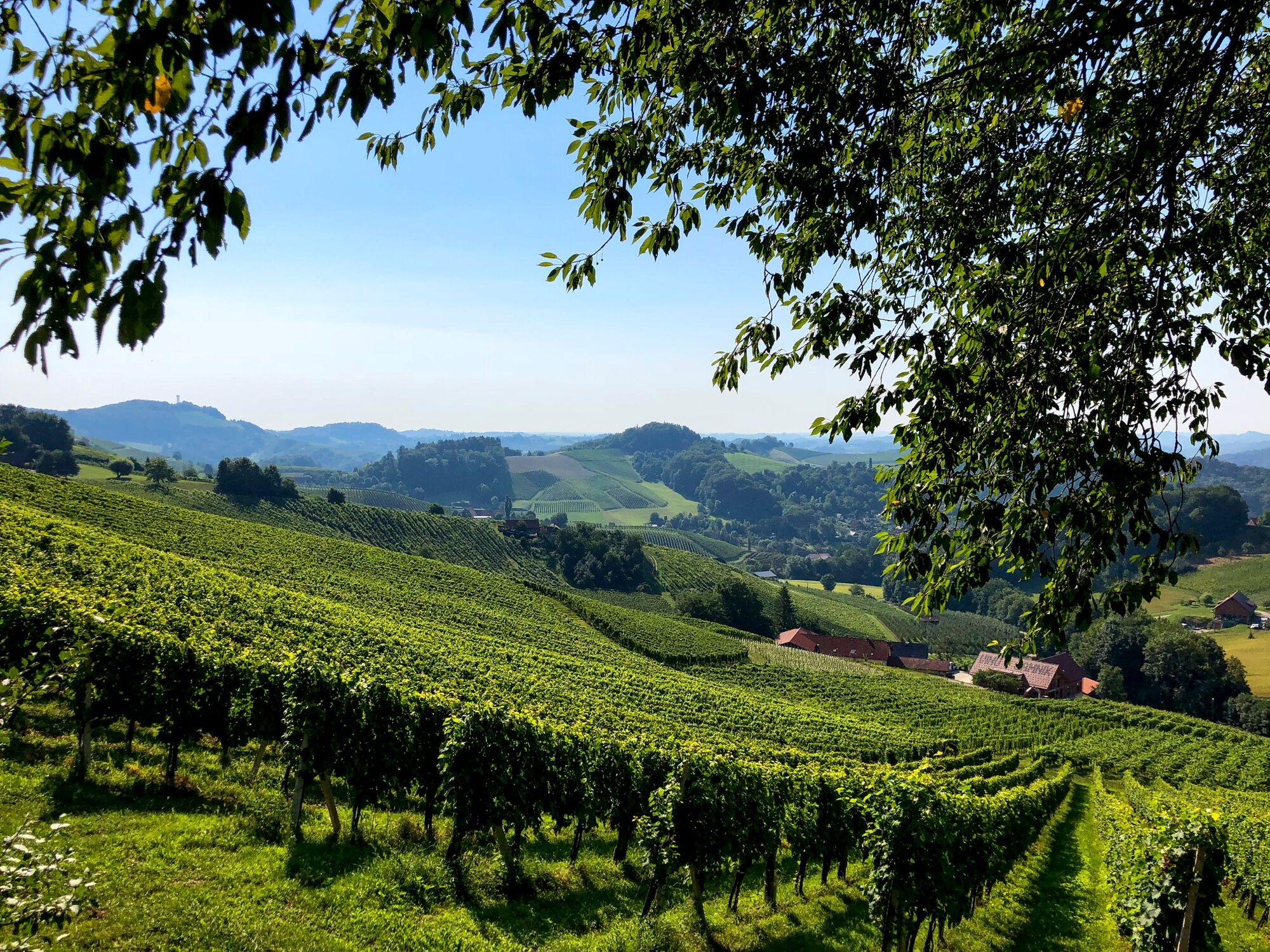
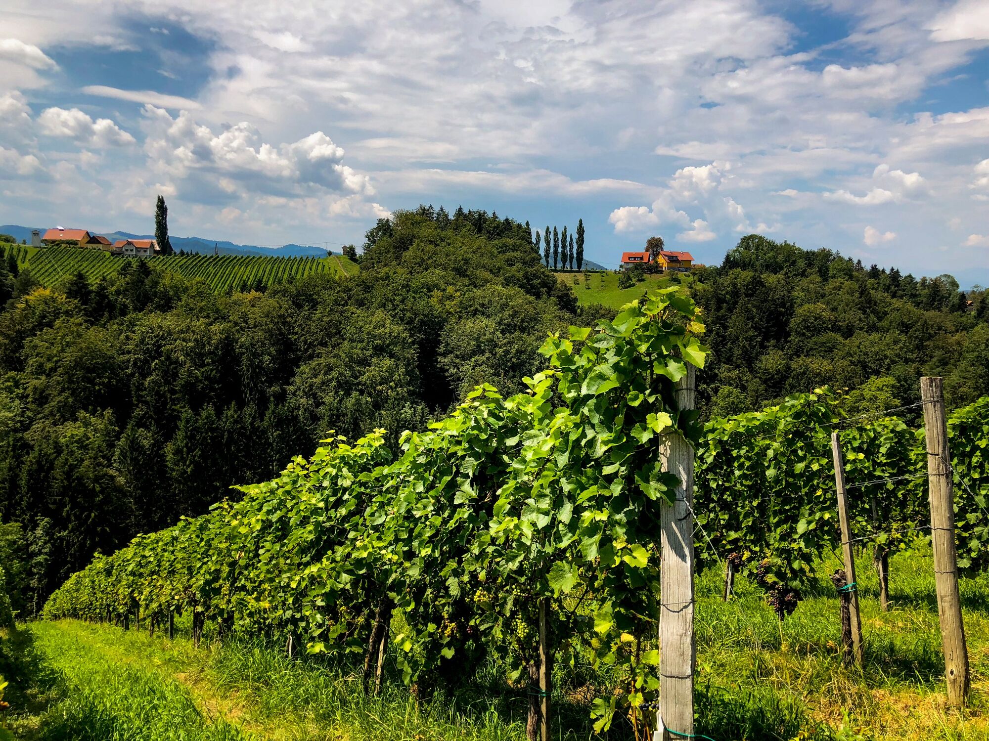
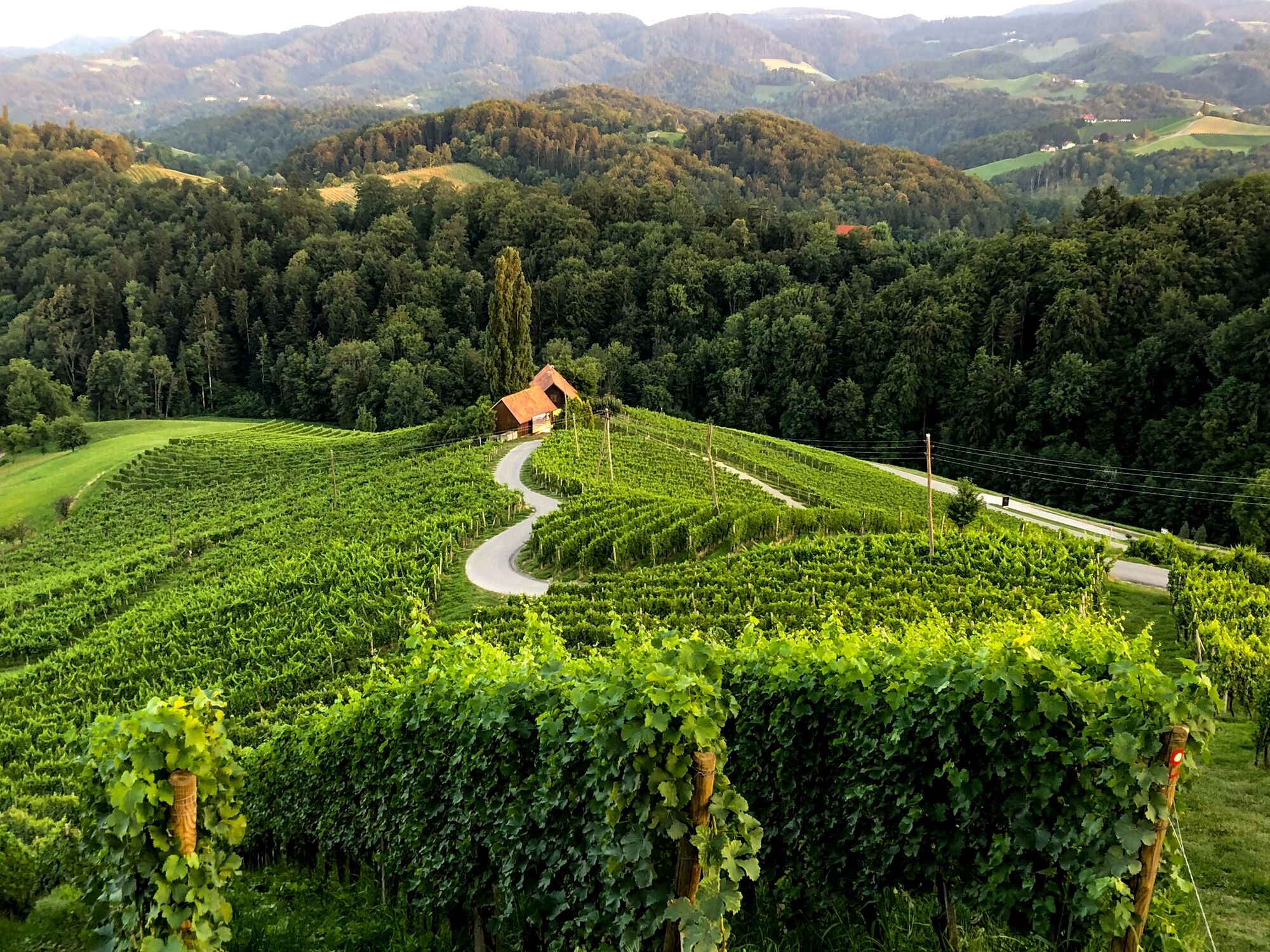
A beautiful, romantic tour right into the heart of the South Styrian wine country. From Leutschach, the center of the largest wine-growing community in Styria, the trail leads us to one of the most famous and beautiful vantage points in the Südsteiermark Nature Park, the large grape cluster on the Eory-Kogel. Through the typically hilly landscape with its vineyards and in between shady forests we reach on this stage of the hiking route "From glacier to wine" via Sulztal an der Weinstraße in sections along the Styrian-Slovenian border to Ratsch an der Weinstraße.
- Moeilijkheid
-
medium
- Waardering
-
- Route
-
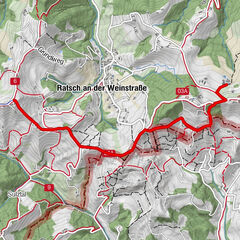
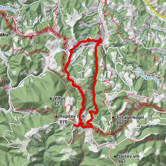
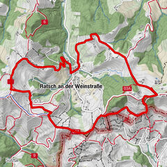
Leutschach an der WeinstraßeBuschenschank Alte Stub´n Kalischnik7,6 kmHubertuskapelle8,3 kmGrenztisch Glanz - Kungota10,7 kmSulztal12,5 kmUrbanikapelle16,0 kmRatsch an der Weinstraße16,0 km
- Beste seizoen
-
janfebmrtaprmeijunjulaugsepoktnovdec
- Maximale hoogte
- 466 m
- Bestemming
-
Ratsch an der Weinstraße
- Hoogteprofiel
-


-

-
AuteurDe rondleiding Stage 23 From Glacier to Wine South Route Leutschach - Ratsch an der Weinstraße wordt gebruikt door outdooractive.com op.
GPS Downloads


Algemene info
Verfrissingsstop
Cultureel/Historisch
Flora
Fauna
Veelbelovend
Meer rondleidingen in de regio's
-
Südsteiermark
1135
-
Maribor-Pohorje
263
-
Leutschach an der Weinstraße
259