Stage 25 From Glacier to Wine North Route Almenland Brandlucken - Anger

Wandelen

© (c) Steiermark Tourismus/Leo Himsl - Leo Himsl

© Steiermark - Das Grüne Herz

© TVB Oststeiermark - Christine Pollhammer

© Oststeiermark Tourismus - Christine Pollhammer

© (c) TV Apfelland-Stubenbergsee

© Oststeiermark Tourismus - Christine Pollhammer

© (c) Steiermark Tourismus/Manfred Polansky - Manfred Polansky

- Korte beschrijving
-
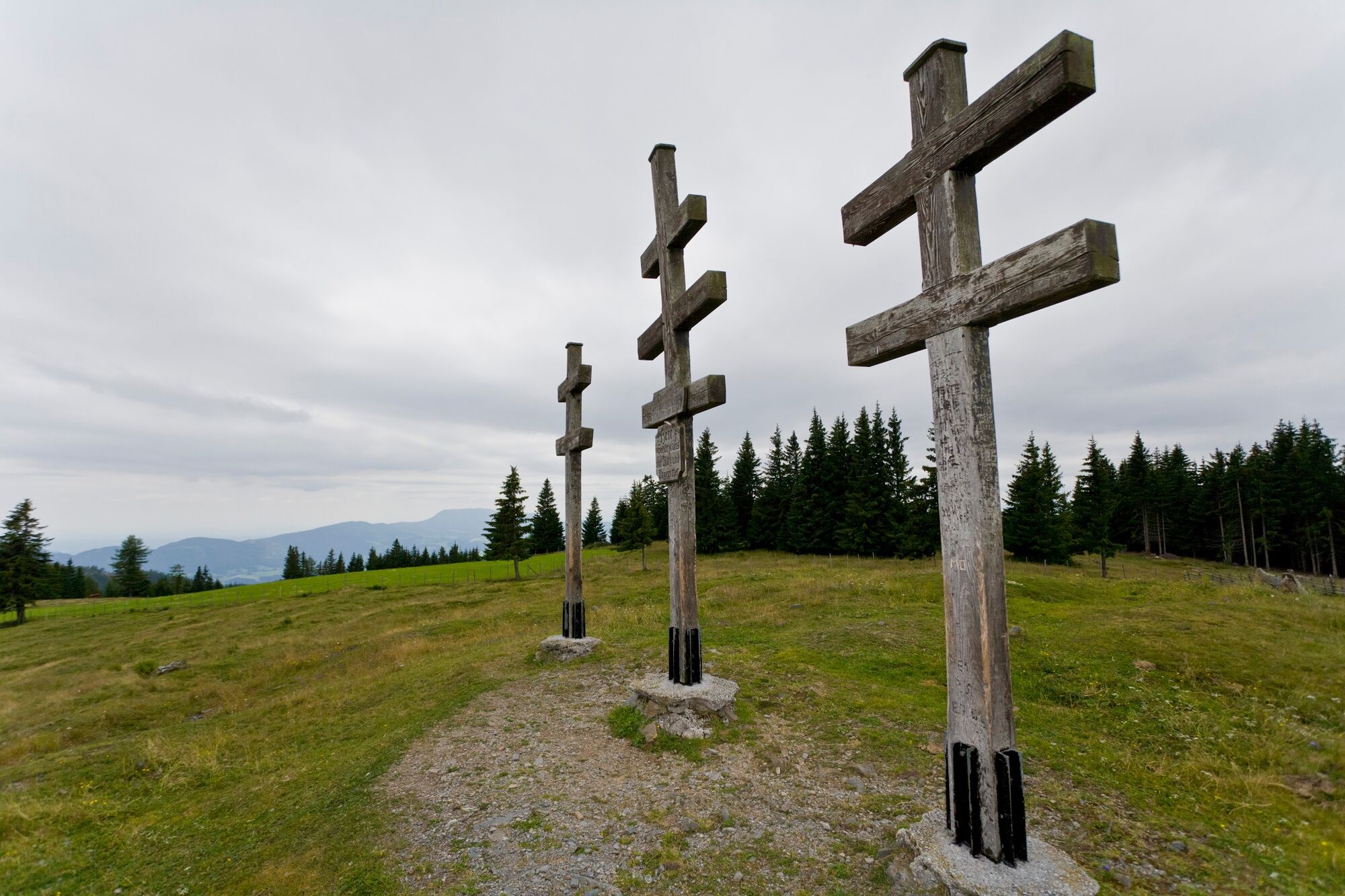
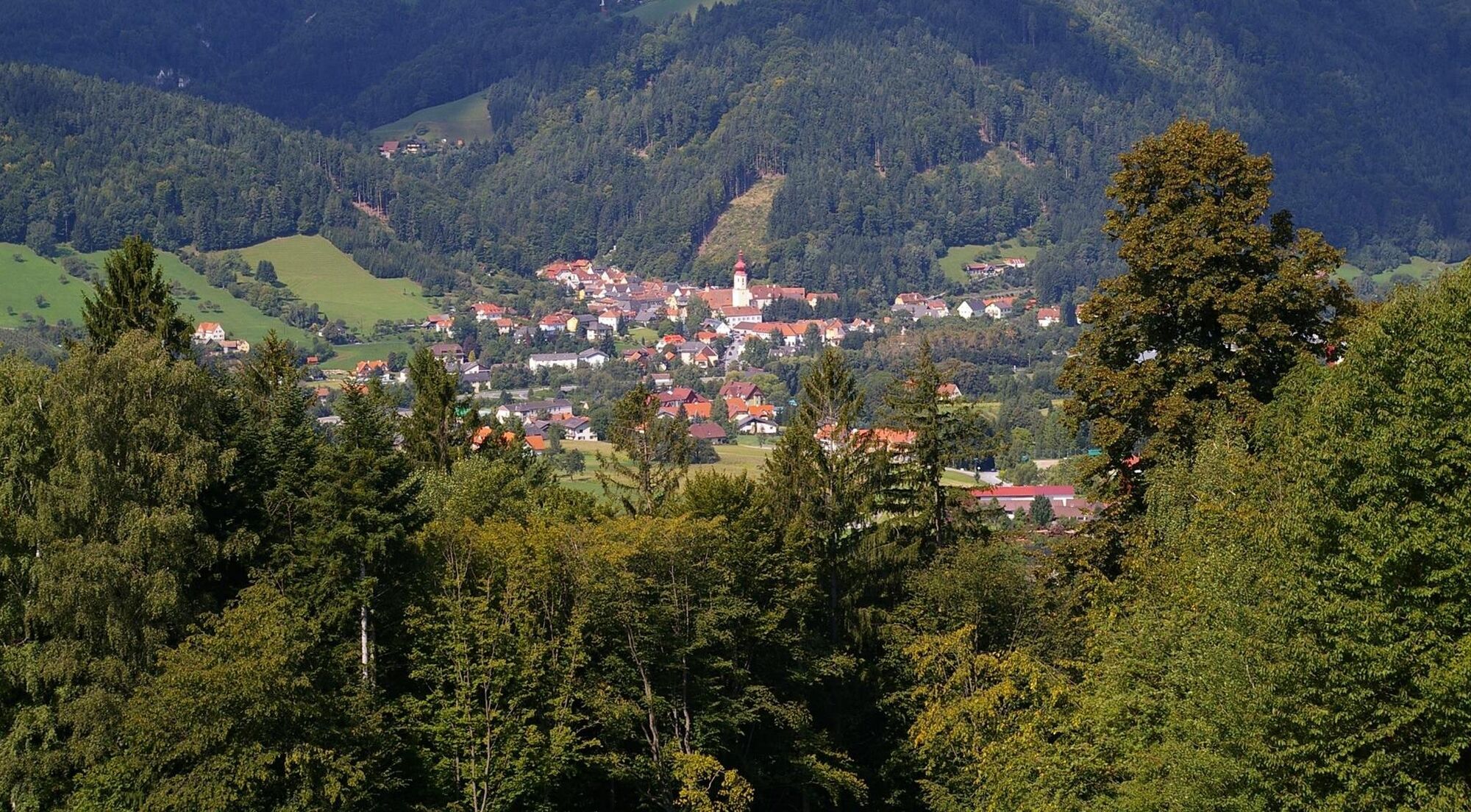
From the Almo to the apple. This stage of the hiking route "From Glacier to Wine" takes us from the idyllic alpine and forest landscape of the Almenland Nature Park to Anger, the entrance to the apple country, the largest apple-growing area in Austria. The tour is one of the more leisurely stages of the long-distance hiking trail that takes us from the Dachstein to the wine country, although the descent of almost 800 meters in altitude into the Feistritz Valley should not be underestimated.
- Moeilijkheid
-
medium
- Waardering
-
- Route
-
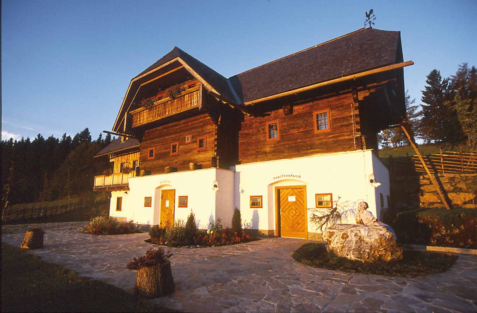
BrandluckenGasthof Zur schönen Aussicht0,0 kmHuab-n & Greisslerei0,1 kmFeichteck (1.242 m)1,0 kmNaturfreundehaus Bendlerhöhe3,8 kmEibisberg4,5 kmSteinbauer Brunnen5,4 kmZetz (1.274 m)6,2 kmAnger13,5 kmPfarrkirche hl. Andreas13,5 km
- Beste seizoen
-
janfebmrtaprmeijunjulaugsepoktnovdec
- Maximale hoogte
- 1.253 m
- Bestemming
-
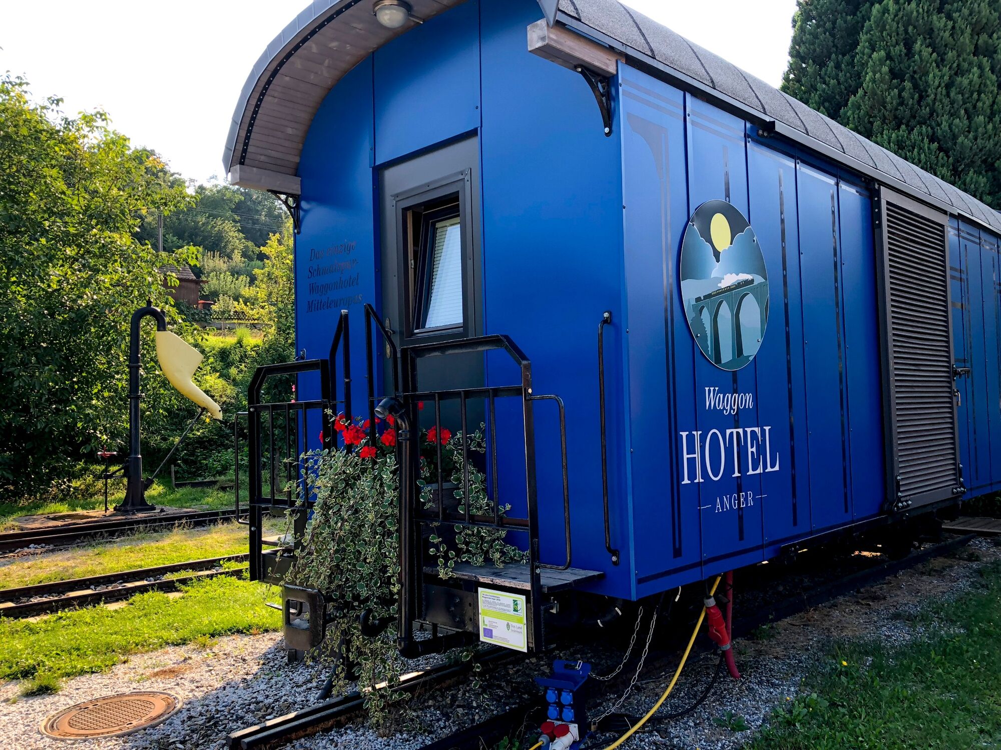
Anger
- Hoogteprofiel
-

-

-
AuteurDe rondleiding Stage 25 From Glacier to Wine North Route Almenland Brandlucken - Anger wordt gebruikt door outdooractive.com op.
GPS Downloads


Algemene info
Verfrissingsstop
Flora
Veelbelovend
Meer rondleidingen in de regio's
-
Hochsteiermark
4082
-
Naturpark Almenland
1767
-
Anger
401


