© Weges

© Oststeiermark Tourismus
- Korte beschrijving
-
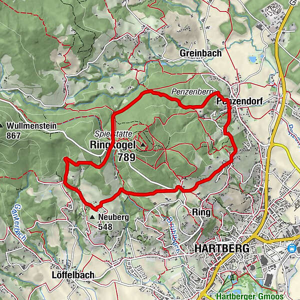
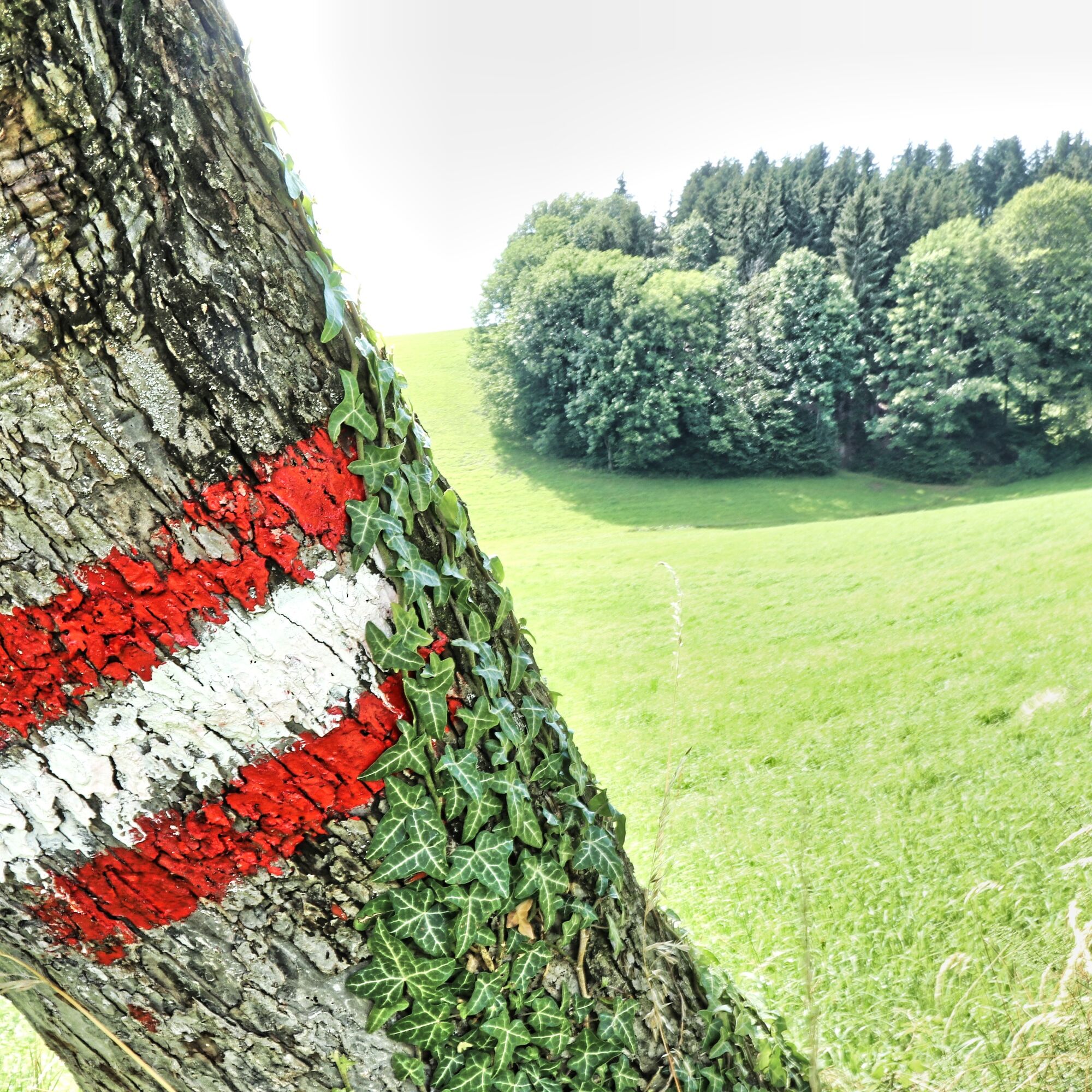
9.5 km long trail marked in blue and white that leads via the "Kreuzstein" and the venue to Neuberg Castle. You return along the southern slope of the Ringkogel with a beautiful view of Hartberg. The Buschenschank Pack and the Berghof Schreiner are ideal rest stops along the way.
- Moeilijkheid
-
medium
- Waardering
-
- Route
-
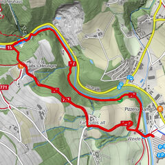
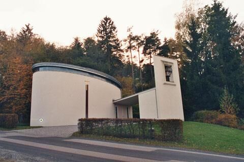
Penzendorf0,0 kmDorfkapelle0,1 kmRing2,0 kmNeuberg3,8 kmBadewanne5,1 kmSt. Hubertus Kapelle6,3 kmPenzendorf9,2 km
- Beste seizoen
-
janfebmrtaprmeijunjulaugsepoktnovdec
- Maximale hoogte
- 689 m
- Bestemming
-
Greinbach, municipal office
- Hoogteprofiel
-

- Auteur
-
De rondleiding Penzendorfweg 2, Penzendorf wordt gebruikt door outdooractive.com op.
GPS Downloads


Meer rondleidingen in de regio's
-
Thermen- & Vulkanland
1324
-
Hartbergerland
830
-
Greinbach
209