- Korte beschrijving
-
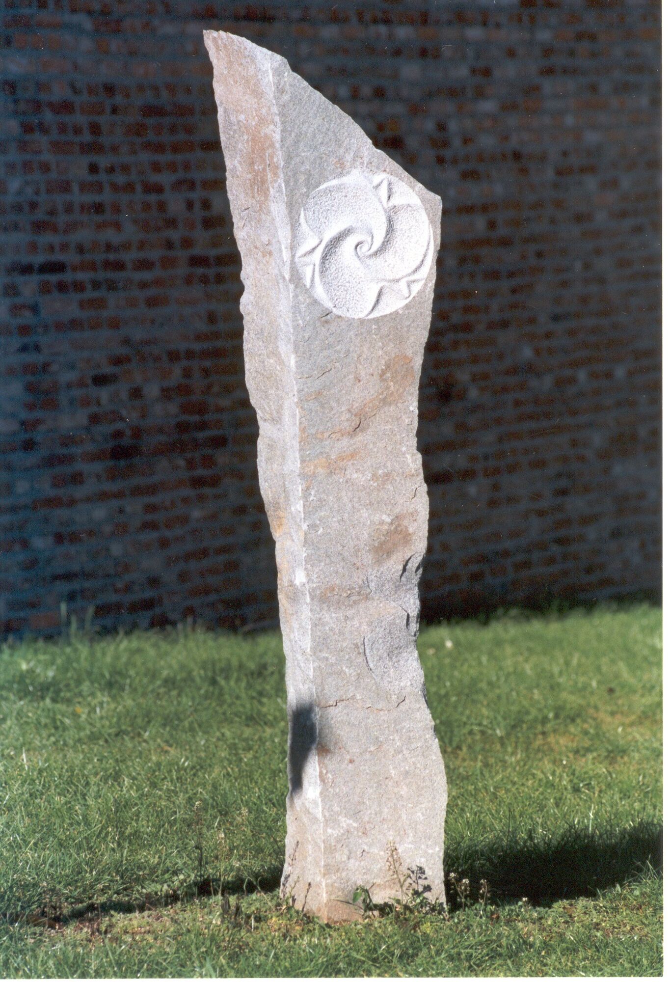
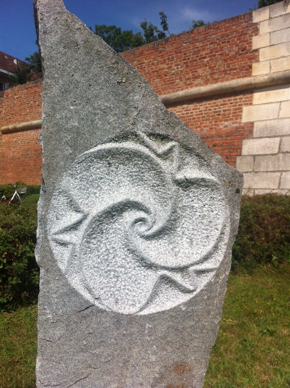
Lithopuncture is a method of ecological healing and balancing developed by Marko Pogacnik. It is related to acupuncture of the human body. "Lithopuncture" means placement and precise alignment of stone pillars on the power paths or power points of the landscape.
- Moeilijkheid
-
gemakkelijk
- Waardering
-
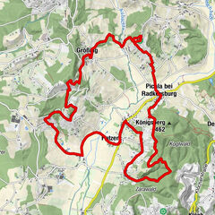
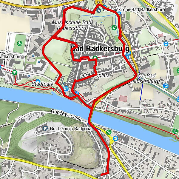
- Route
-
Christuskirche Bad Radkersburg1,1 kmOberradkersburg2,6 kmFrauenkirche3,8 kmBad Radkersburg3,9 kmStadtpfarrkirche Bad Radkersburg4,2 km
- Beste seizoen
-
janfebmrtaprmeijunjulaugsepoktnovdec
- Maximale hoogte
- 215 m
- Bestemming
-
Thermal spring building
- Hoogteprofiel
-


- Auteur
-
De rondleiding Lithopuncture path (Lithopunkturweg) wordt gebruikt door outdooractive.com op.
GPS Downloads


Algemene info
Verfrissingsstop
Cultureel/Historisch
Tip voor insiders
Veelbelovend
Meer rondleidingen in de regio's
-
Südsteiermark
1131
-
Region Bad Radkersburg
217
-
Bad Radkersburg
30