- Korte beschrijving
-
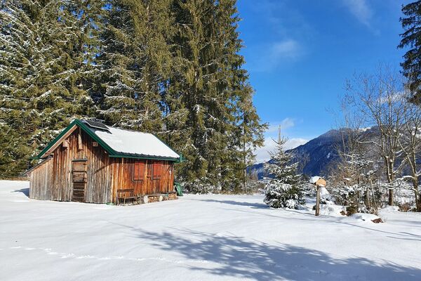
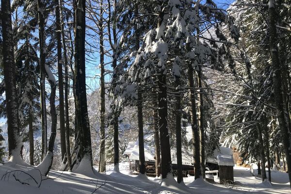
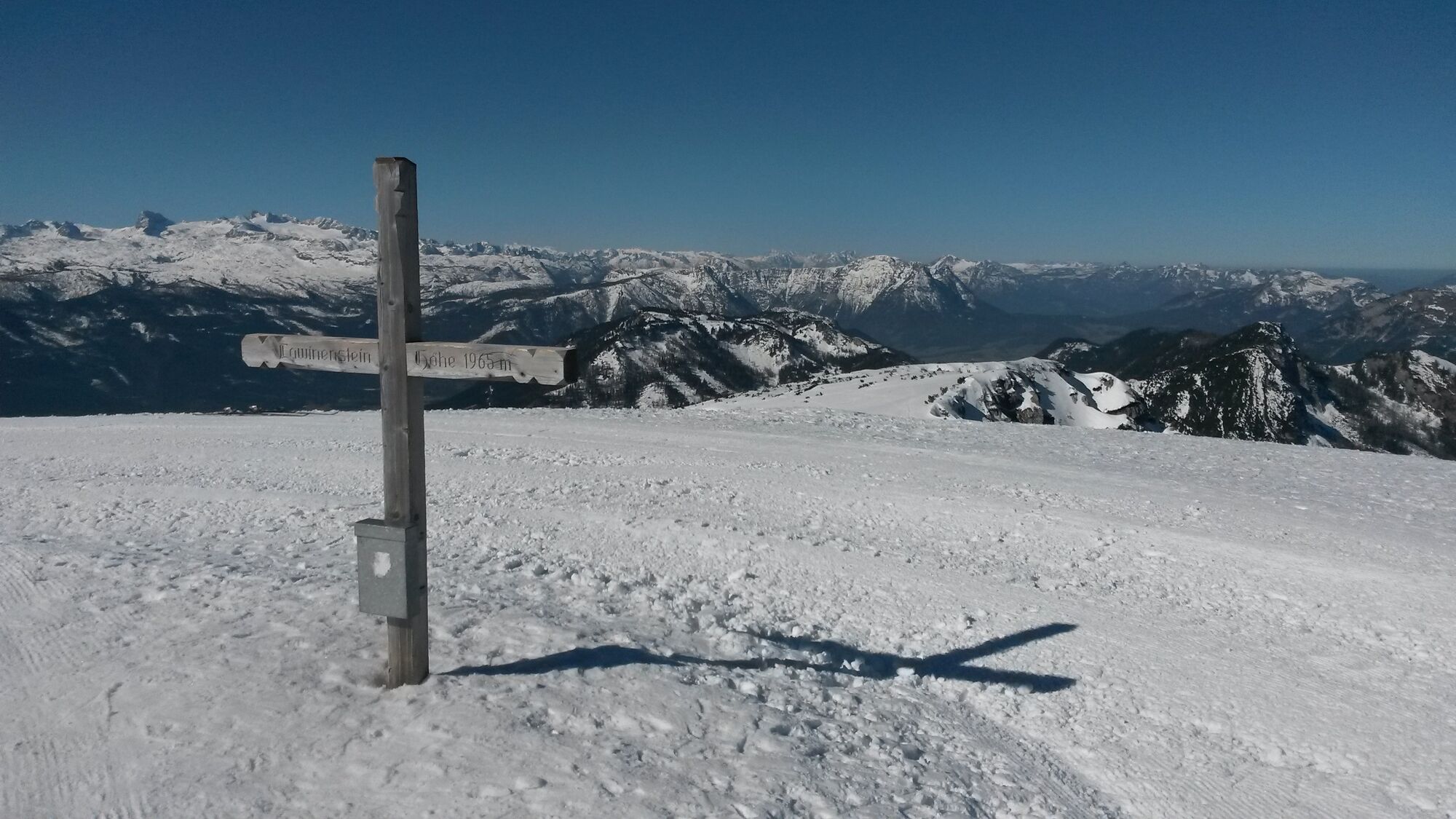
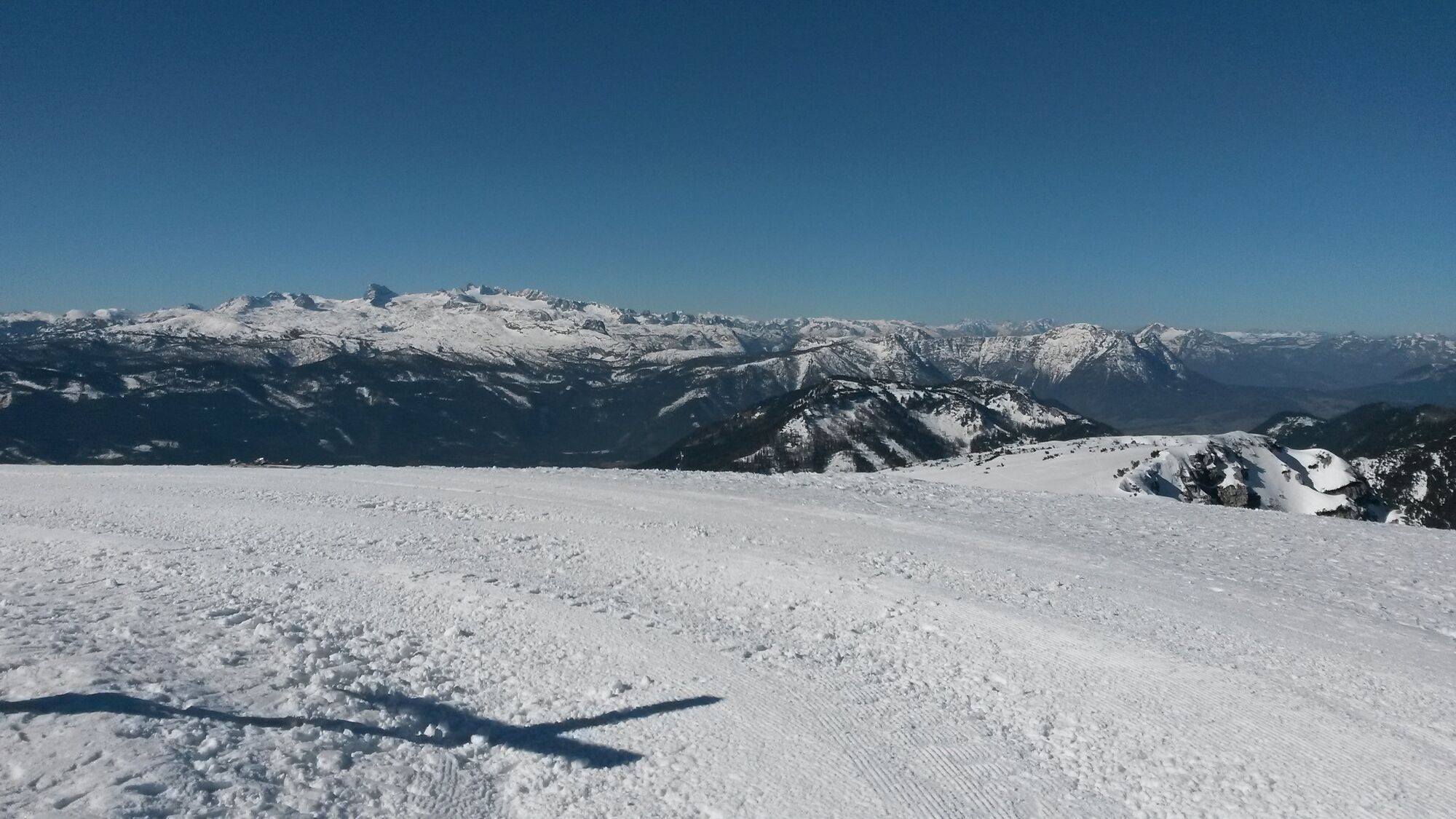
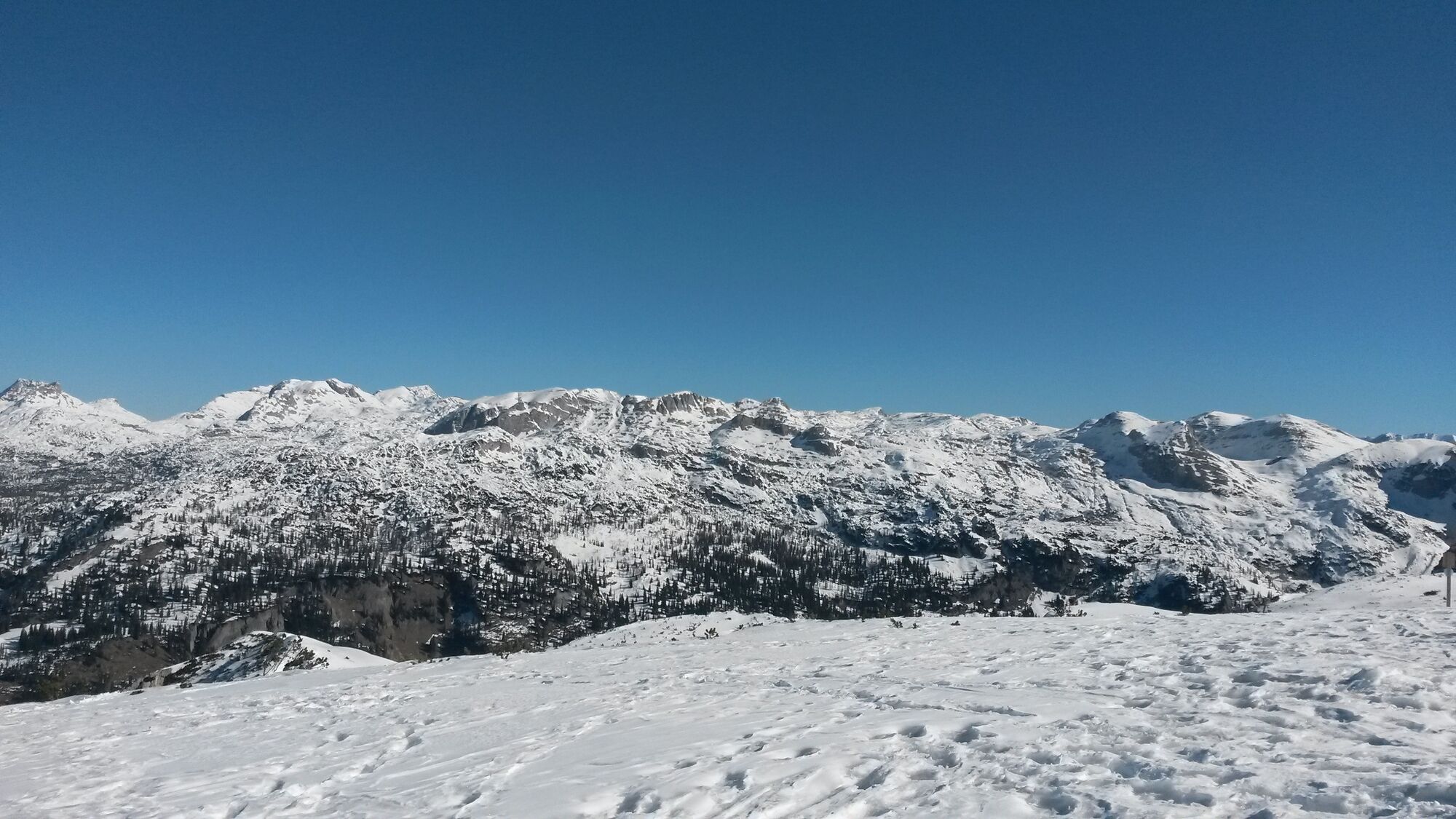
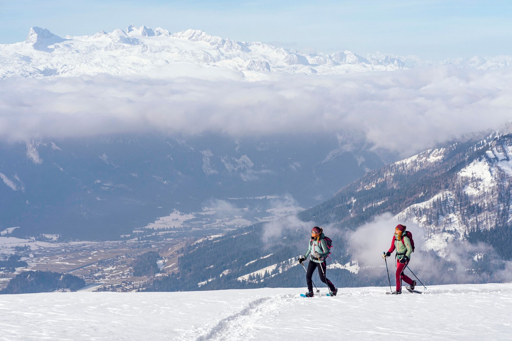
Hike on the prepared pedestrian slope to the summit of the Lawinenstein.Fantastic 360 degree panoramic view from the Grimming over the Dachstein and the arch of the Tote Gebirge to the Sturzhahn.
- Moeilijkheid
-
gemakkelijk
- Waardering
-
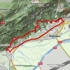
- Route
-
Lawinenstein0,4 kmLawinenstein (1.965 m)0,7 kmS'Kriemandl (1.880 m)2,0 km
- Beste seizoen
-
augsepoktnovdecjanfebmrtaprmeijunjul
- Maximale hoogte
- 1.950 m
- Bestemming
-
Toll station Tauplitzalm alpine road or valley station Mitterstein gondola lift
- Hoogteprofiel
-


- Auteur
-
De rondleiding "Lawinenstein - Tauplitzalm" wordt gebruikt door outdooractive.com op.
GPS Downloads


Algemene info
Verfrissingsstop
Veelbelovend
Meer rondleidingen in de regio's