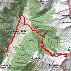
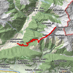
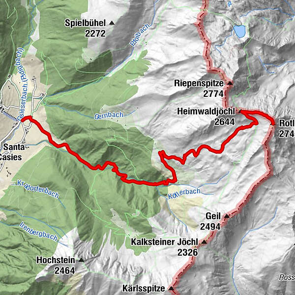
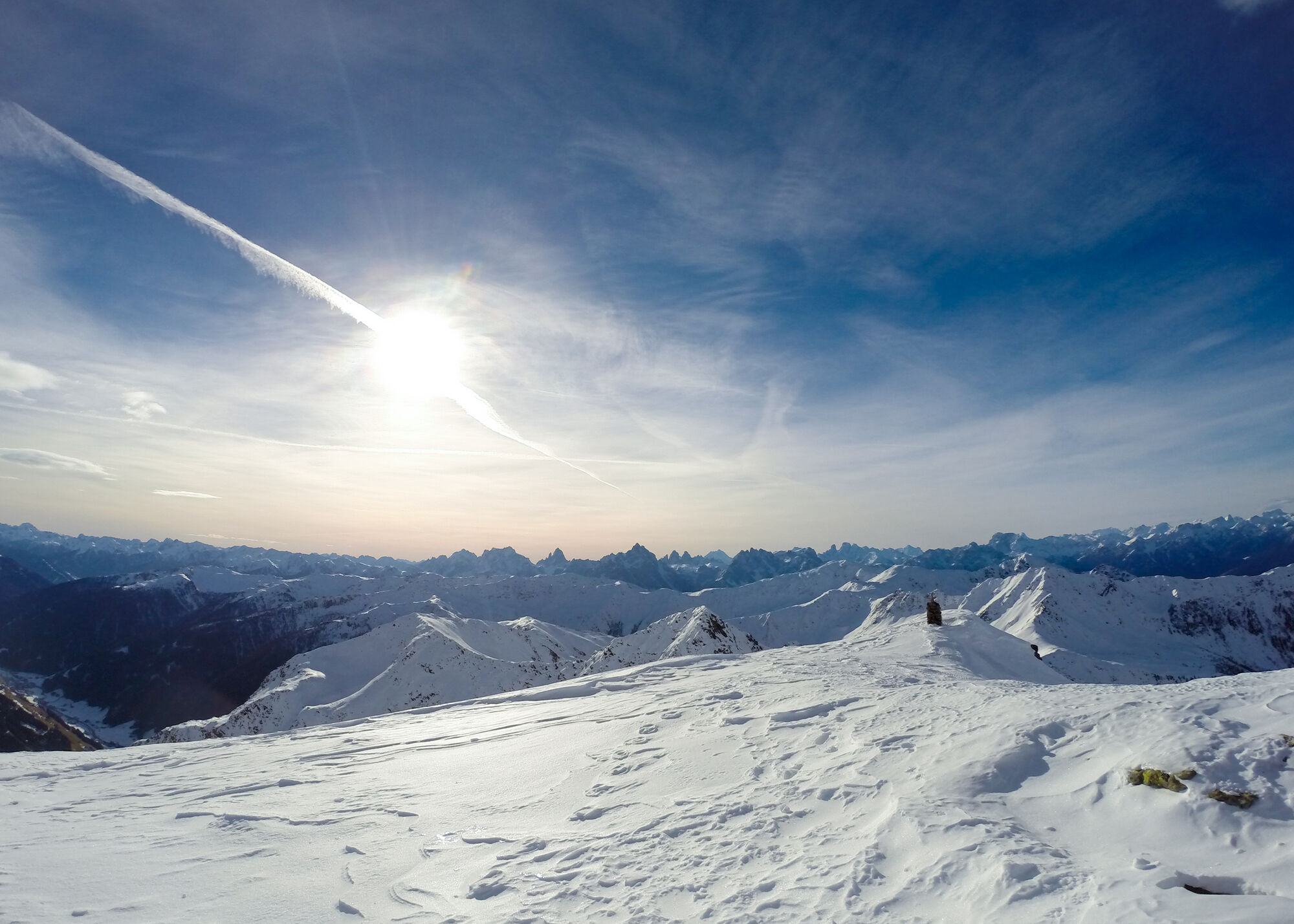
Snowshoe Tour and Ski Tour: Rotlahner in S. Maddalean/Gsieser Tal Valley

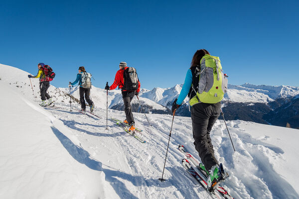
Toerskitocht


Toerdatums
7,93km
1.464
- 2.737m
1.250hm
1.250hm
03:30h
- Korte beschrijving
-
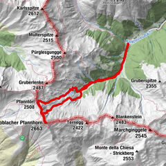
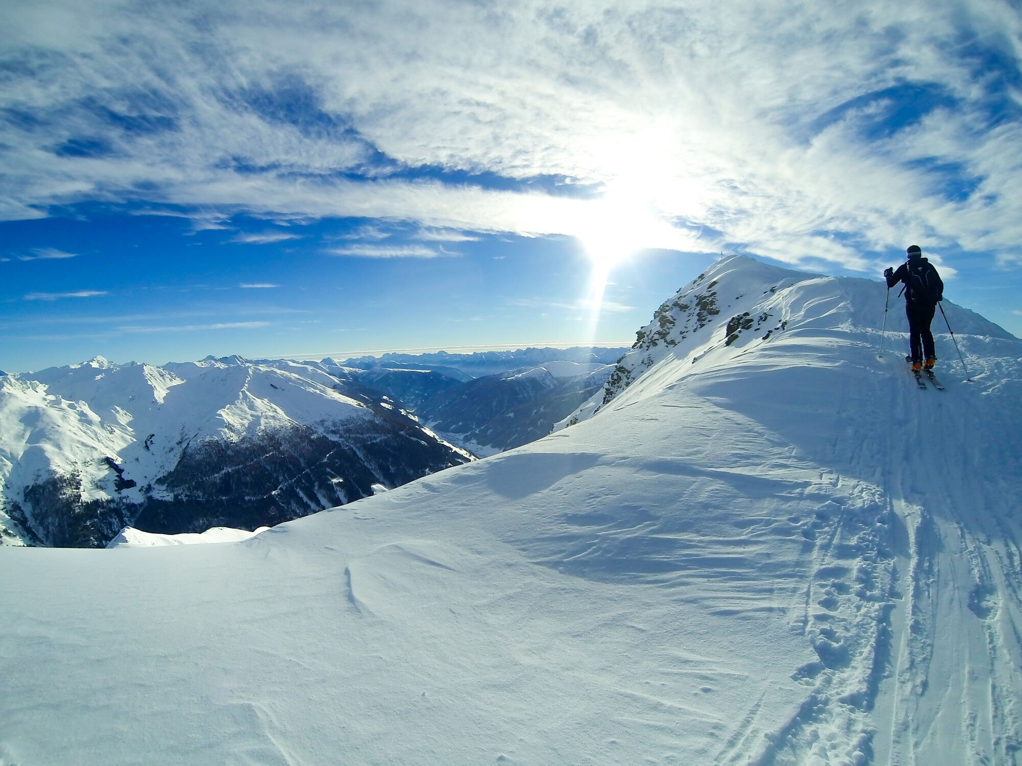
The “Rotlahner” – an easy but famous ski mountain in the Gsieser Alps
Starting point: Head of the valley in St. Magdalena in the Gsieser Valley 1465 m
Descent: back via the ascent route
Hiking time: 3 ½ hours
Level of difficulty: medium to difficult; with the exception of two steep slopes (one just beneath the Kasermähder Alm and the other in the area of the Heimwaldjoch) there are no considerable technical difficulties concerning the route
Altitude difference: 1270 m
Slope exposure: mainly southwest slopes - Moeilijkheid
-
medium
- Waardering
-
- Route
-
Talschlusshütte0,0 kmBinter Höfe0,2 kmKipfel-Alm4,6 kmHeimwaldjöchl (2.644 m)7,2 kmRotlahner (2.743 m)7,8 km
- Beste seizoen
-
augsepoktnovdecjanfebmrtaprmeijunjul
- Maximale hoogte
- 2.737 m
- Exposition
GPS Downloads


Meer rondleidingen in de regio's