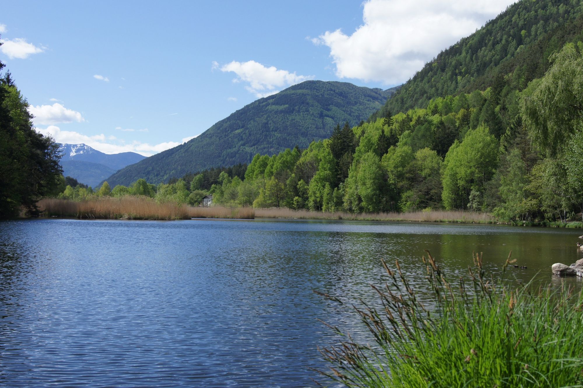
© Eisacktal Marketing - Albert Gruber

- Korte beschrijving
-
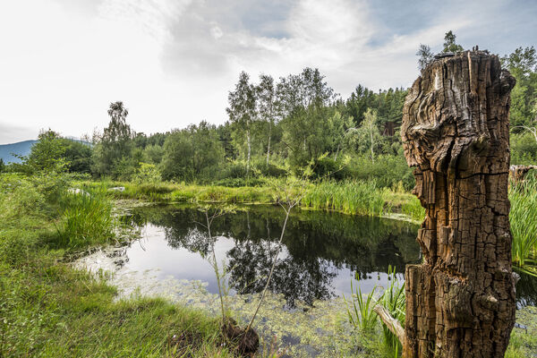
A varied hiking route in the valley, more or less on the same level, through fields, forests, orchards and vineyards, from one settlement to another.
- Route
-
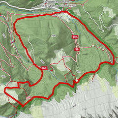
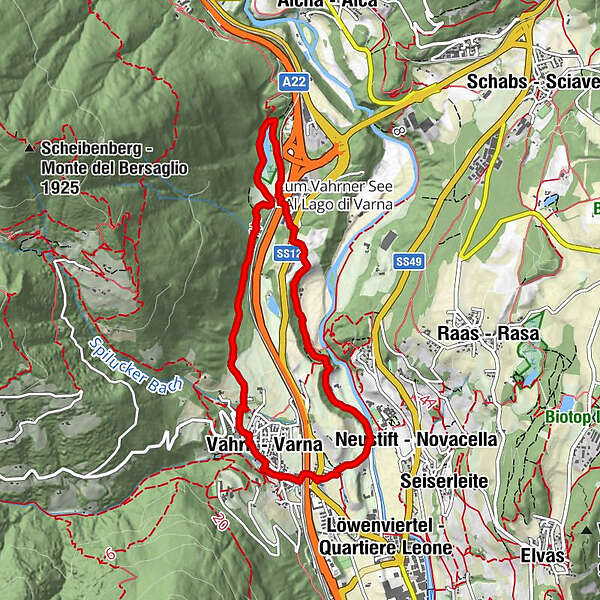
Vahrn (646 m)Gasthaus zum See2,2 kmPunterbühel5,5 kmNeustift6,3 kmVahrn (646 m)7,6 km
- Maximale hoogte
- 710 m
- Bestemming
-
Parking lot Varna|Vahrn (671)
- Hoogteprofiel
-
 © outdooractive.com
- Auteur
-
De rondleiding From Varna|Vahrn to the Vahrner See Lake wordt gebruikt door outdooractive.com op.
GPS Downloads


Meer rondleidingen in de regio's
-
Brixen und Umgebung
1974
-
Gitschberg - Jochtal
671
-
Natz-Schabs
221