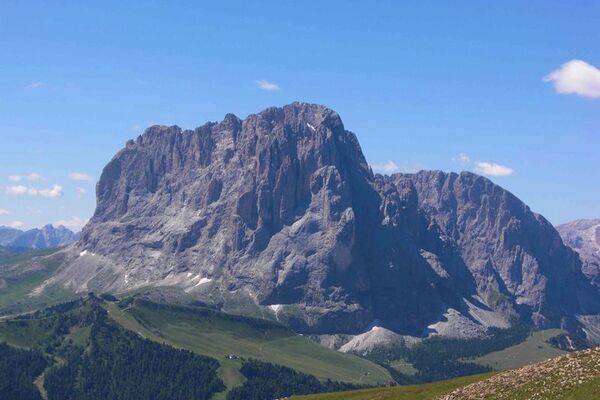
© Dolomitenregion Seiser Alm - Helmuth Rier

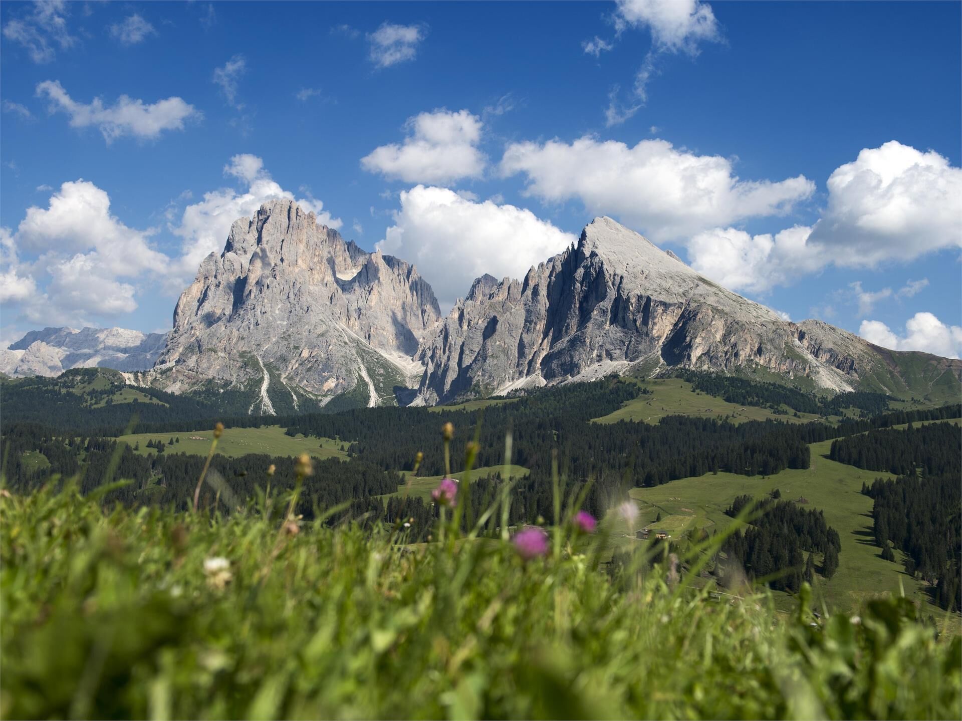
© Dolomitenregion Seiser Alm - Helmuth Rier

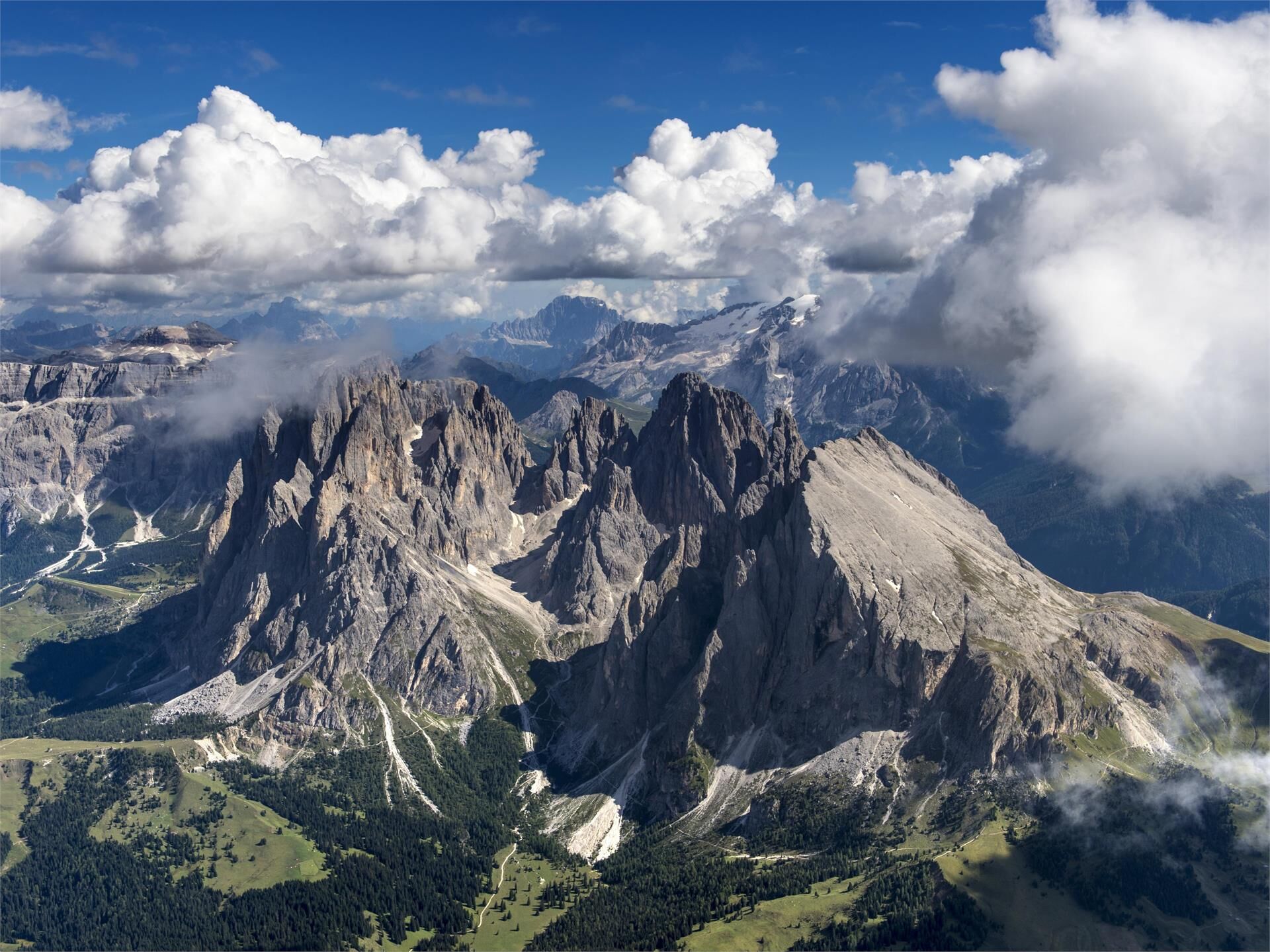
© Dolomitenregion Seiser Alm - SAM/Udo Schneider
- Moeilijkheid
-
medium
- Waardering
-
- Route
-
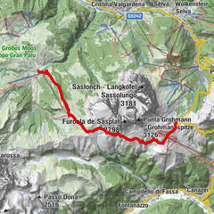
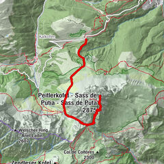
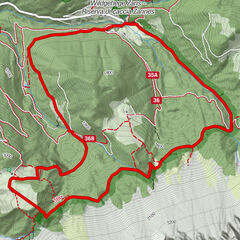
Williams Hütte0,0 kmSpielplatz Williamshütte0,0 kmPlattkofelhütte1,9 kmRifugio Sandro Pertini4,2 kmGabia6,2 kmFriedrich-August-Hütte6,3 kmBaita Miara Hütte6,8 kmRifugio Salei7,1 kmFurcela de Saslonch7,9 kmEmilio-Comici-Hütte10,6 kmPlattkofelhütte17,8 kmSpielplatz Williamshütte19,6 kmWilliams Hütte19,7 kmFlorian (2.125 m)19,8 km
- Beste seizoen
-
janfebmrtaprmeijunjulaugsepoktnovdec
- Maximale hoogte
- 2.355 m
- Hoogteprofiel
-
 © outdooractive.com
- Auteur
-
De rondleiding Hike around the Plattkofel and Langkofel wordt gebruikt door outdooractive.com op.
GPS Downloads


Meer rondleidingen in de regio's