© Nationalpark Hainich - Cornelia Otto-Albers

© Unbekannt - Steffen Reinz

© Nationalpark Hainich - Cornelia Otto-Albers

© Nationalpark Hainich - Cornelia Otto-Albers

© Nationalpark Hainich - Cornelia Otto-Albers

© Nationalpark Hainich - Johannes Hulsch
Toerdatums
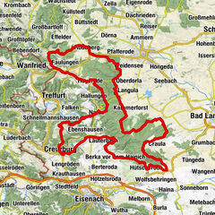
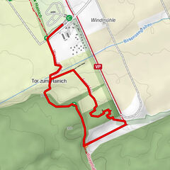
7,45km
349
- 482m
117hm
127hm
02:00h
- Korte beschrijving
-
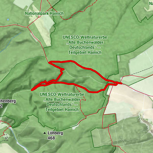
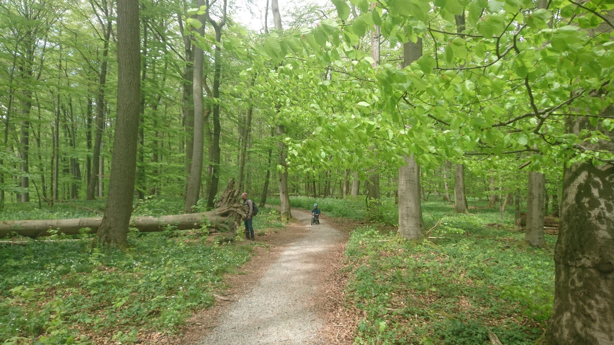
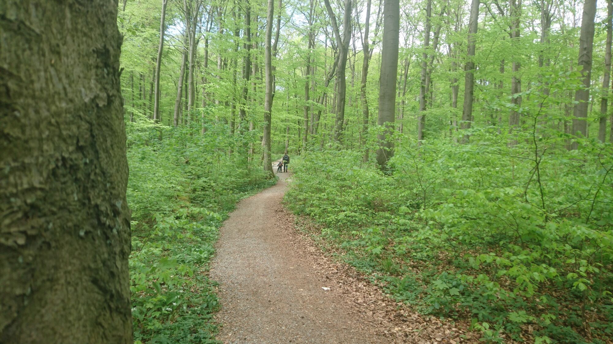
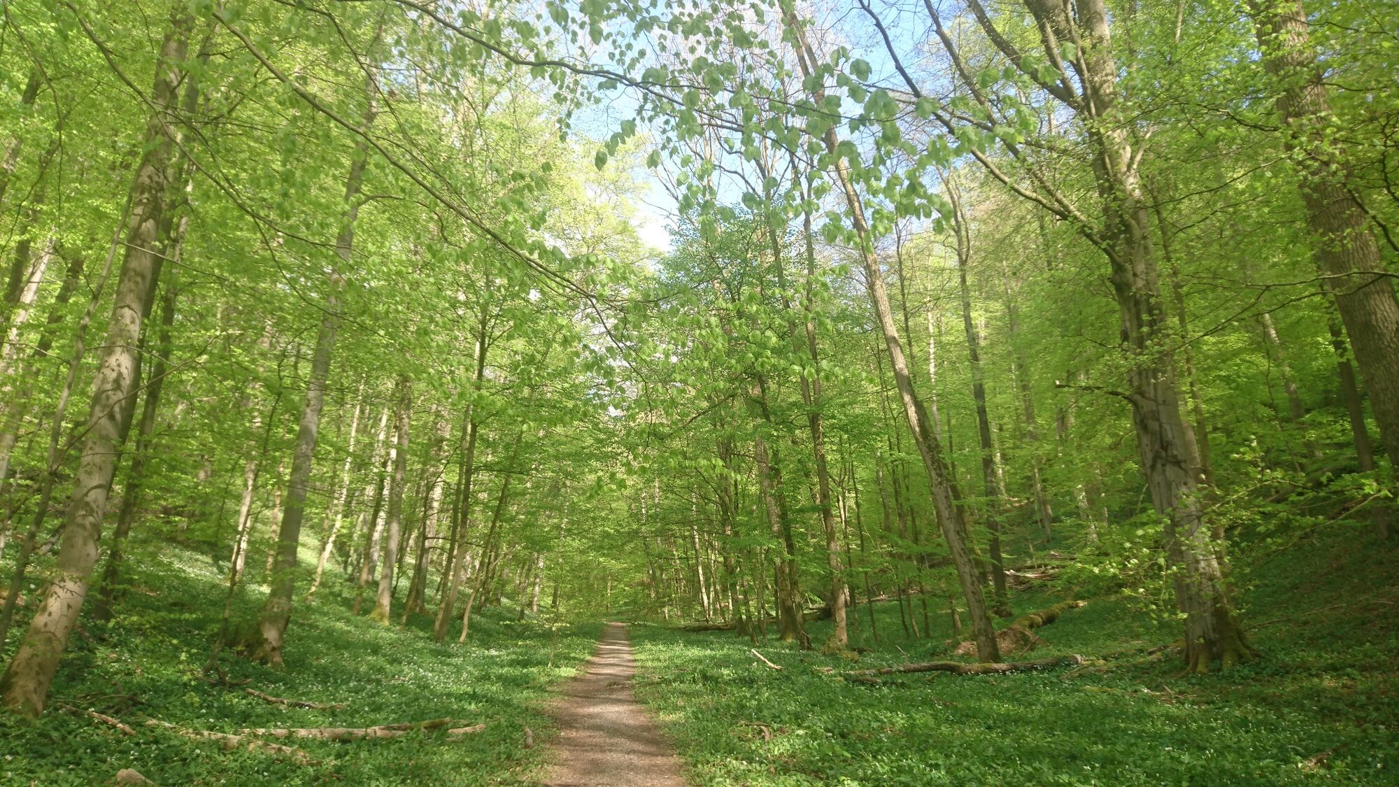
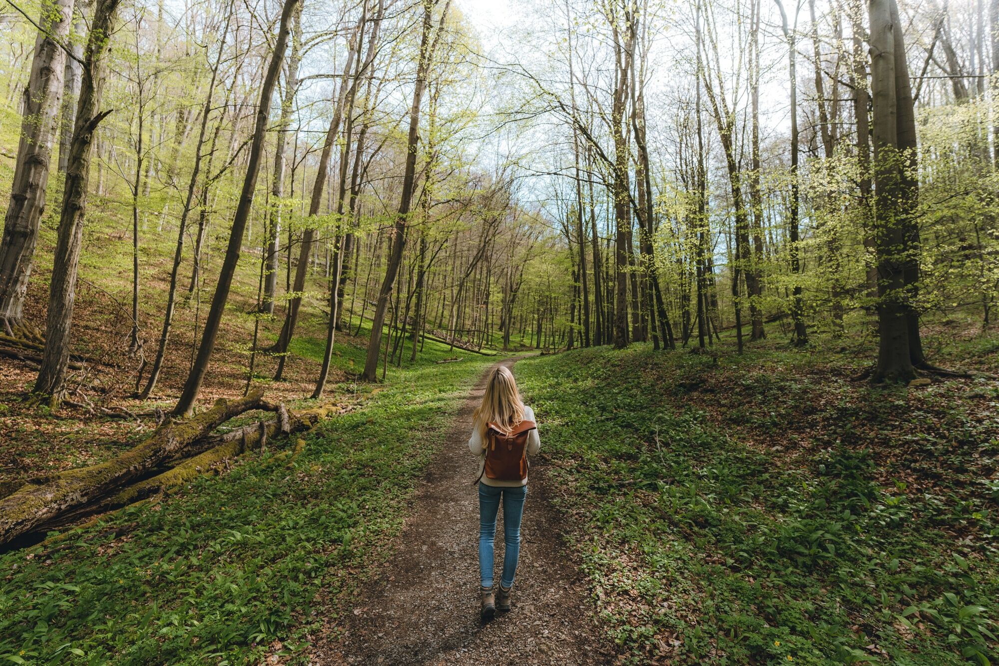
In the UNESCO World Heritage area you encounter the hiking trail Craulaer Kreuz. Through old beech forest it goes down to the Lange Tal.
- Moeilijkheid
-
medium
- Waardering
-
- Beste seizoen
-
janfebmrtaprmeijunjulaugsepoktnovdec
- Maximale hoogte
- 482 m
- Bestemming
-
Parking place Craulaer Kreuz
- Hoogteprofiel
-
 © outdooractive.com
-

-
AuteurDe rondleiding Hiking trail Craulaer Kreuz wordt gebruikt door outdooractive.com op.
GPS Downloads


Algemene info
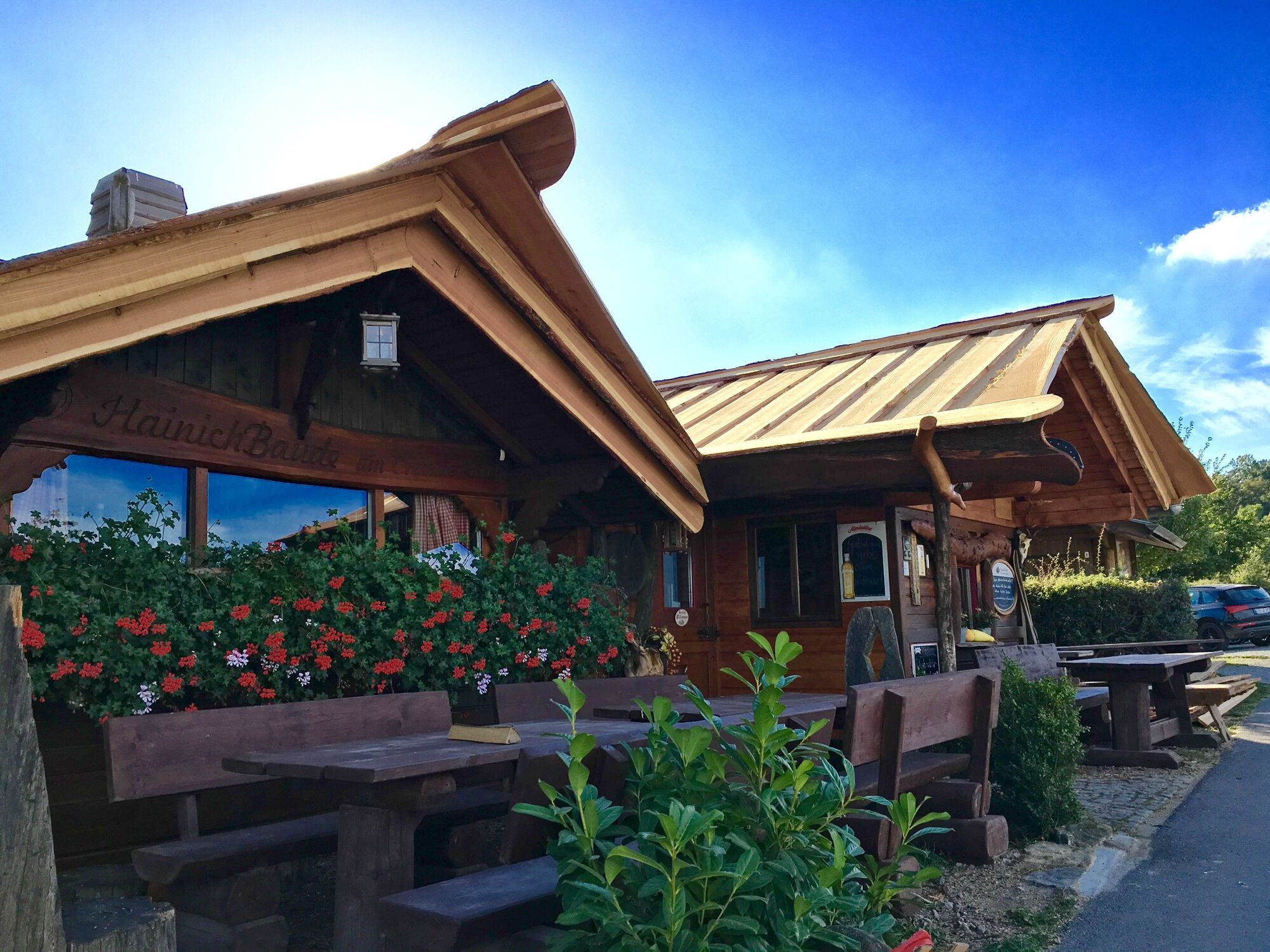
Verfrissingsstop
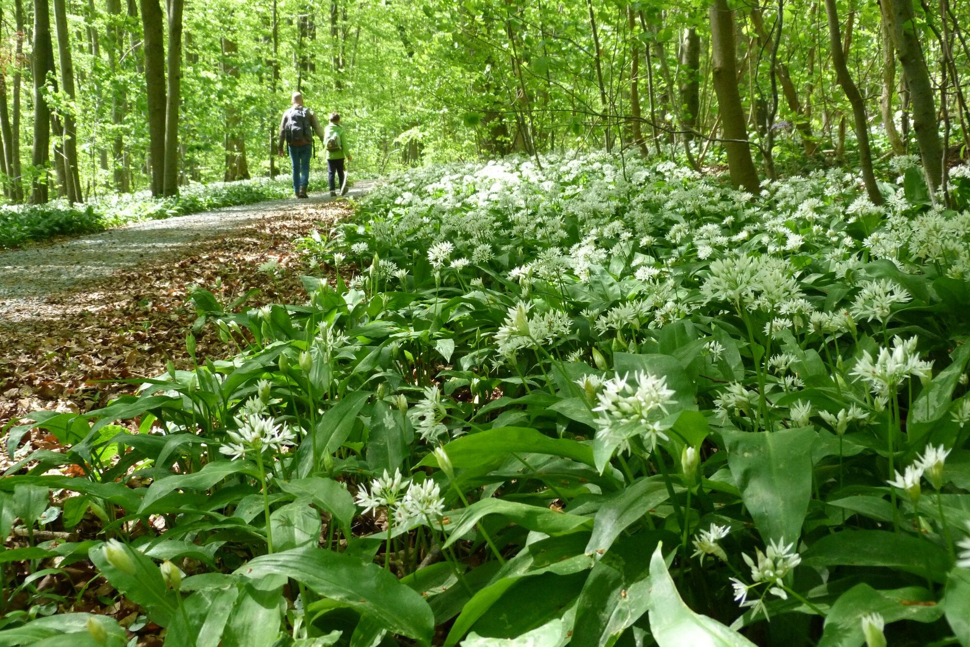
Flora
Meer rondleidingen in de regio's


")