

- Korte beschrijving
-
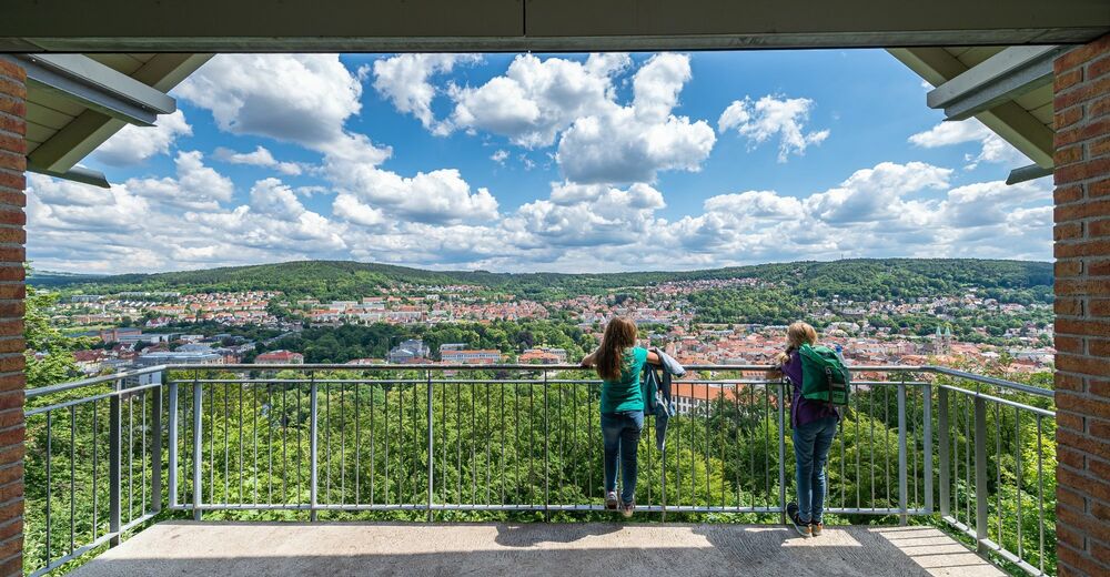
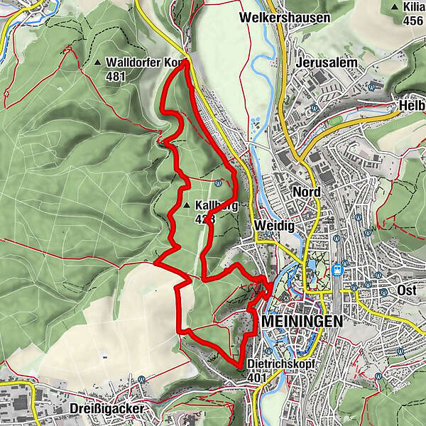
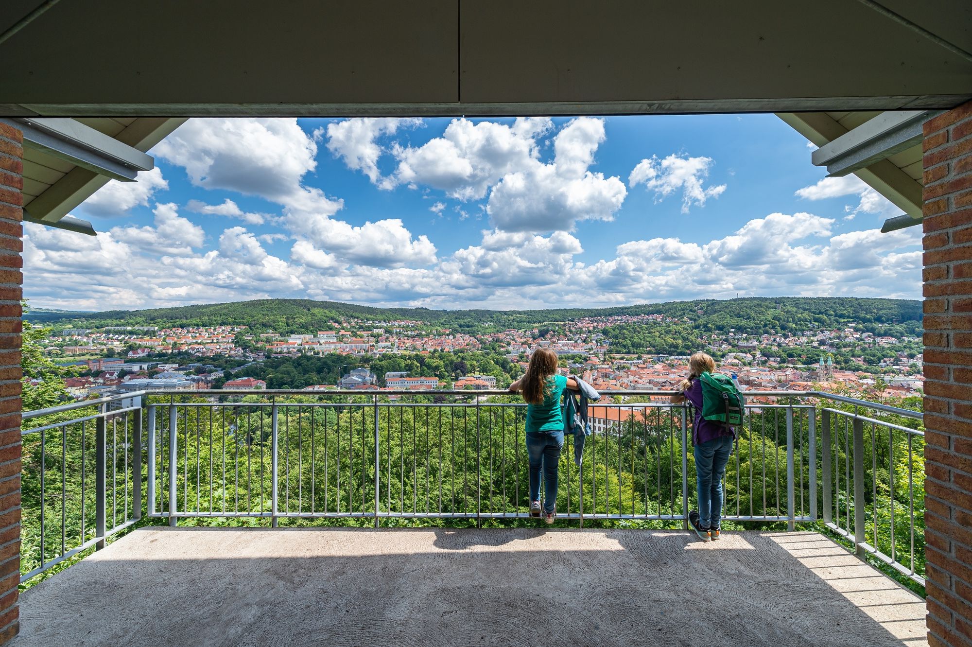
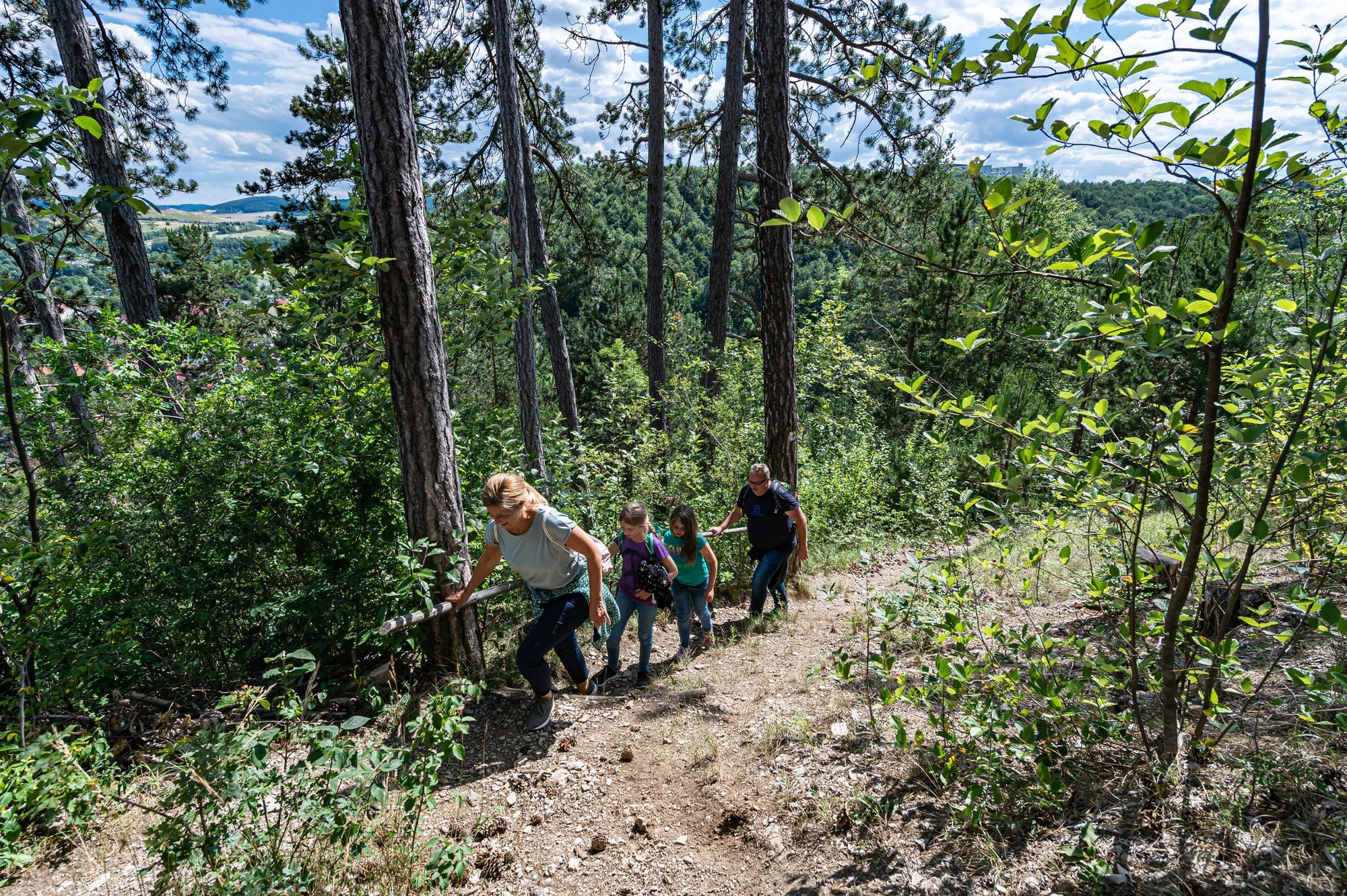
"Der Meininger" hikes on the best paths around Meiningen. From the west, picturesque forests nestle against one another and we enjoy the view between the gentle hills and the banks of the Werra.
- Moeilijkheid
-
gemakkelijk
- Waardering
-
- Route
-
Sternplatz (Adolfstein)1,2 kmPuddingbank2,2 kmHenriettenplatz8,0 kmDietrichskopf (401 m)9,4 kmGoetz-Höhle Ausgang9,6 kmMeiningen10,7 km
- Beste seizoen
-
janfebmrtaprmeijunjulaugsepoktnovdec
- Maximale hoogte
- 436 m
- Bestemming
-
Schloss Elisabethenburg (palace), Meiningen
- Hoogteprofiel
-
 © outdooractive.com
-

-
AuteurDe rondleiding Extratour Der Meininger - Meiningen - Rhön wordt gebruikt door outdooractive.com op.
GPS Downloads


Algemene info
Verfrissingsstop
Cultureel/Historisch
Veelbelovend
Meer rondleidingen in de regio's
 auf Suhl, die Heimatstadt des Komponisten Herbert Roth")