Munich - Venice: From the Glungezer Hut to the Lizumer Hut


© Tourismusverband Region Hall-Wattens - Hall Wattens

© Tourismusverband Region Hall-Wattens - Hall Wattens

© Tourismusverband Region Hall-Wattens - Hall Wattens

© Tourismusverband Region Hall-Wattens - Hall Wattens

© Tourismusverband Region Hall-Wattens - Anne W.

© Tourismusverband Region Hall-Wattens - Anne W.

© Tourismusverband Region Hall-Wattens - Anne W.

© Tourismusverband Region Hall-Wattens - Anne W.

© Tourismusverband Region Hall-Wattens - Anne W.

© Tourismusverband Region Hall-Wattens - Anne W.
- Korte beschrijving
-
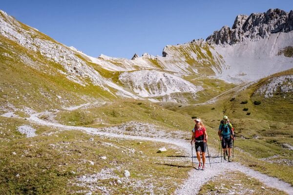
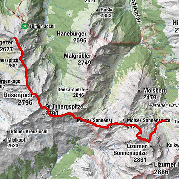
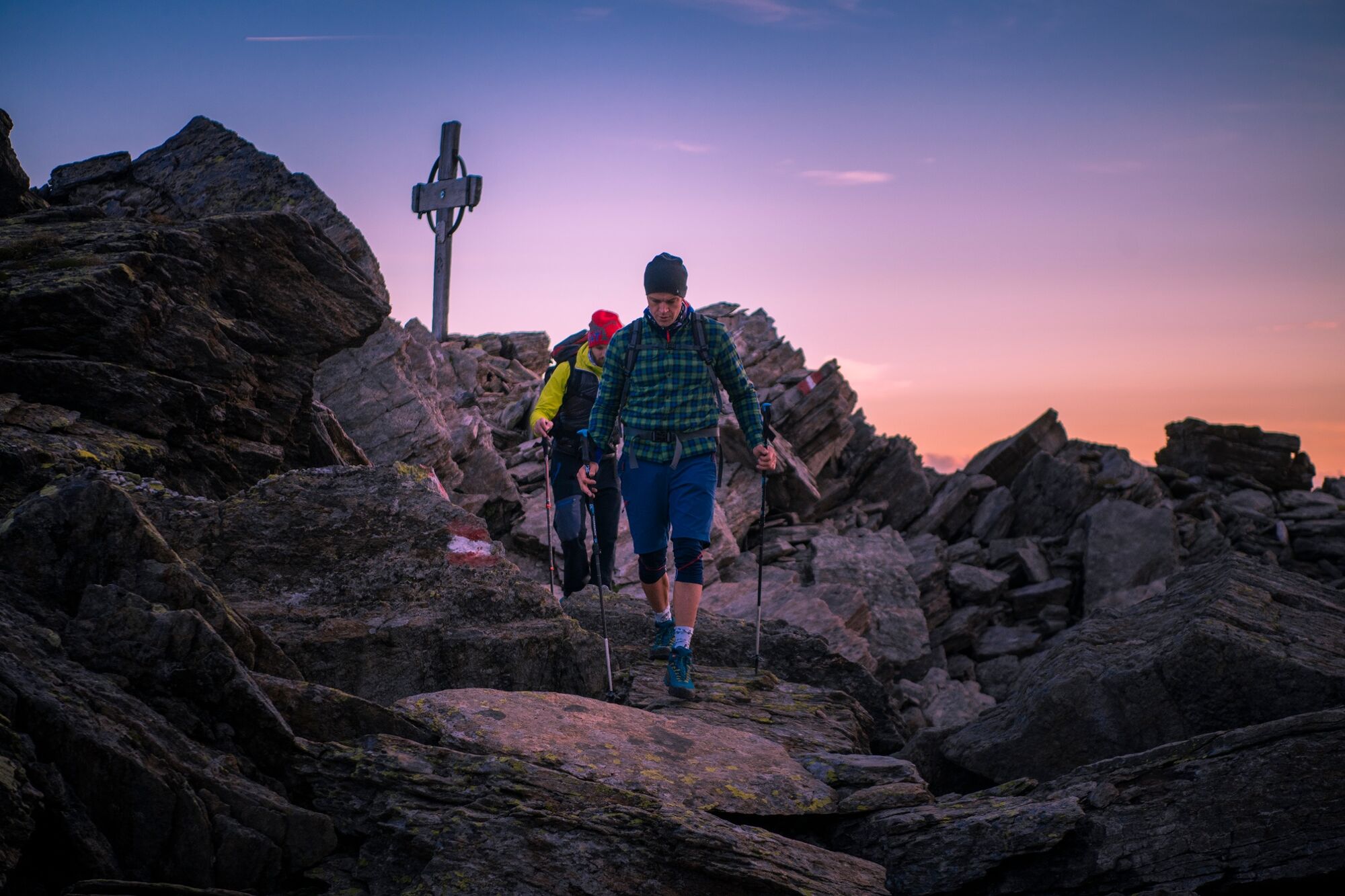
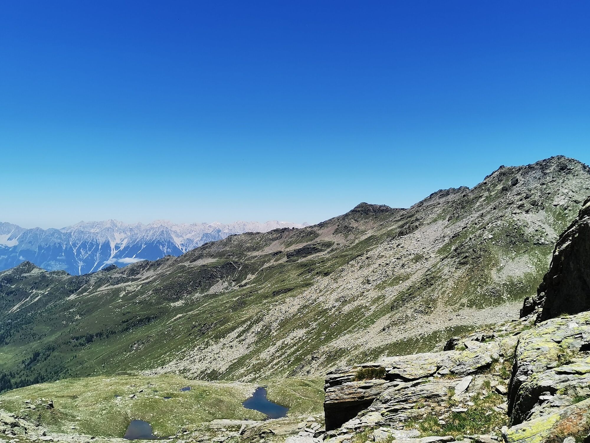
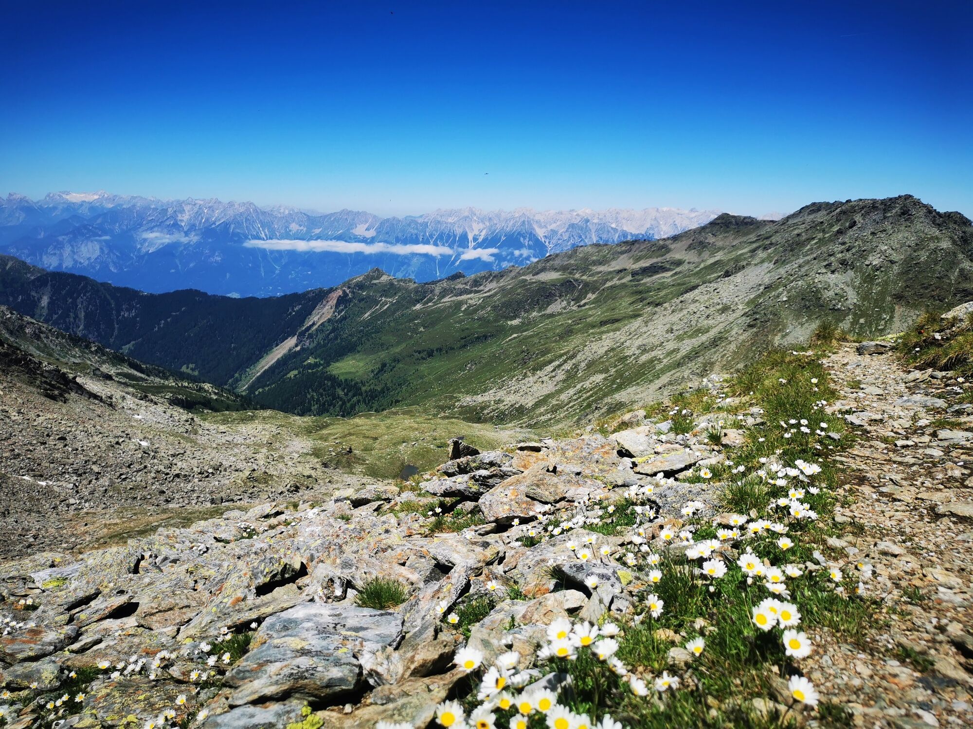
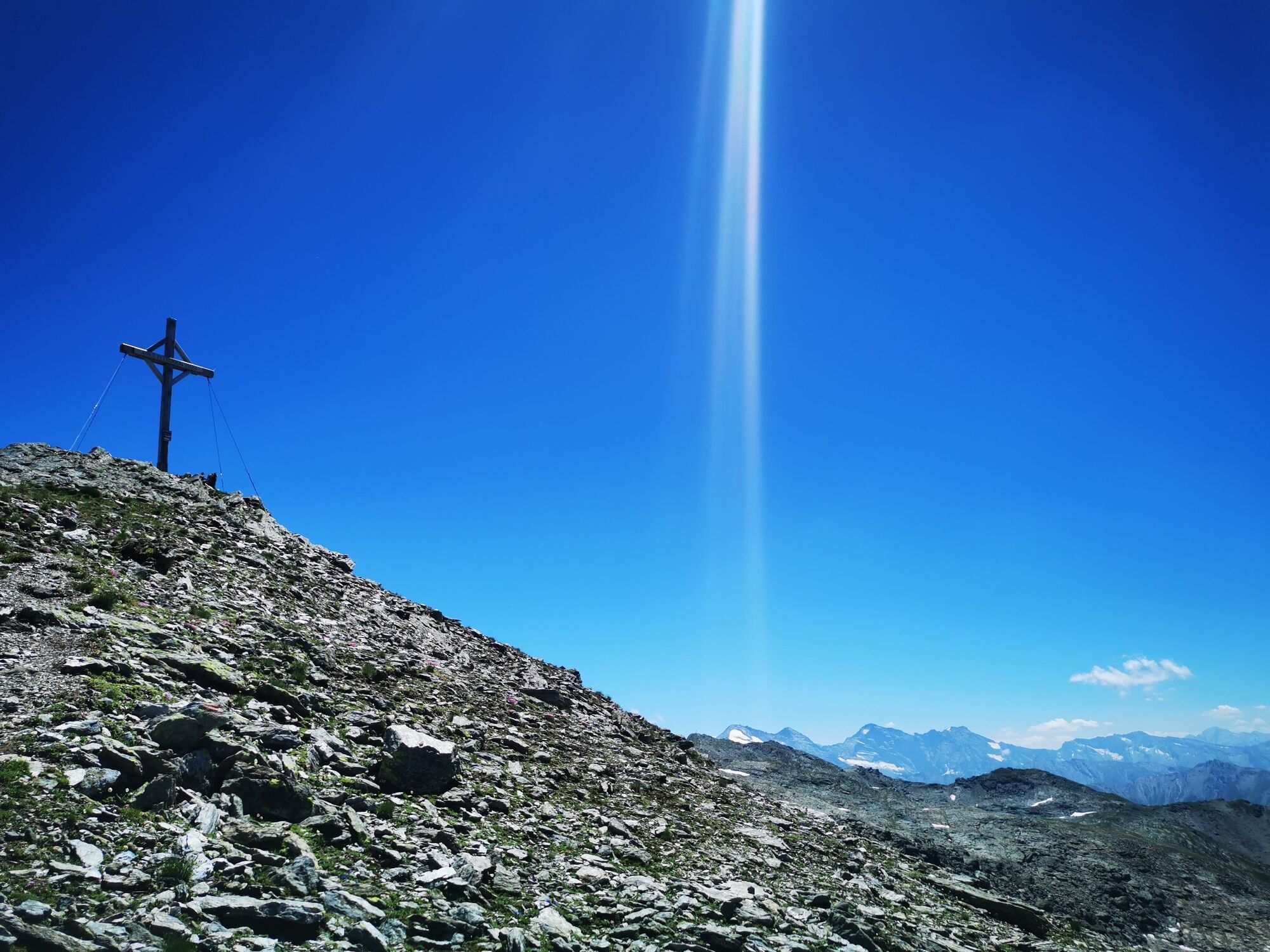
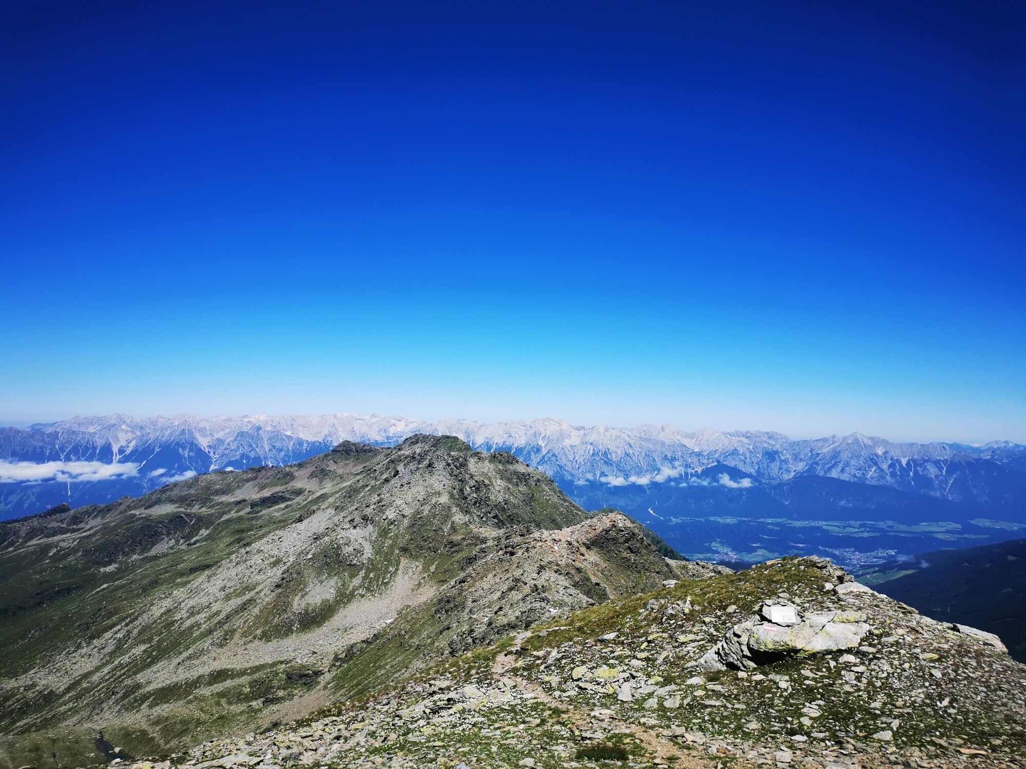
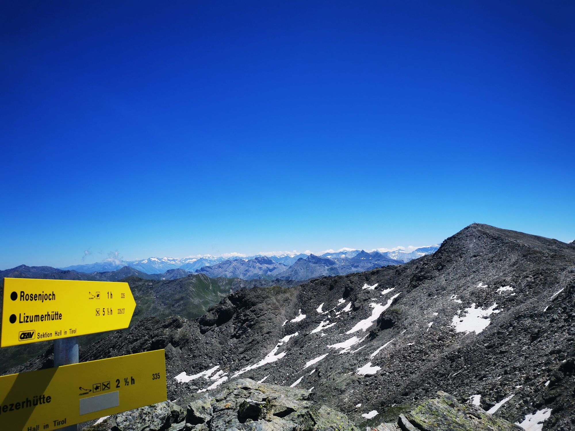
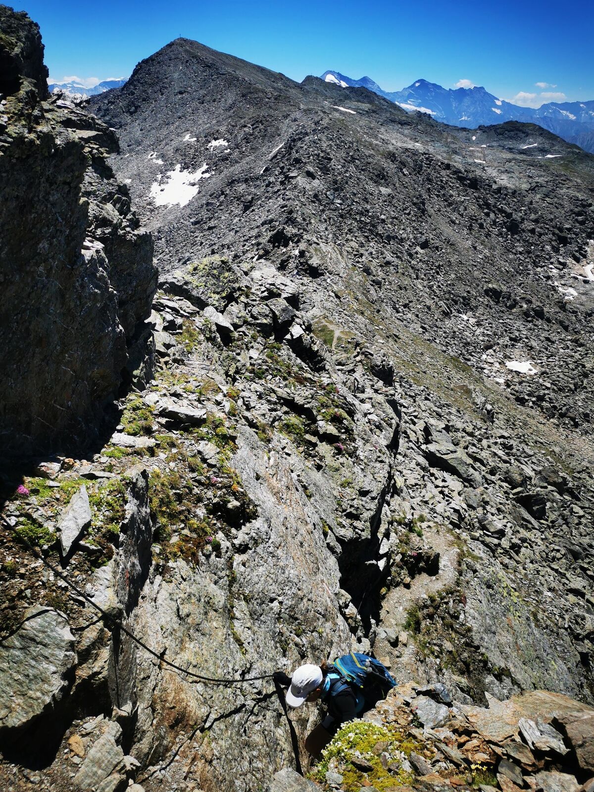
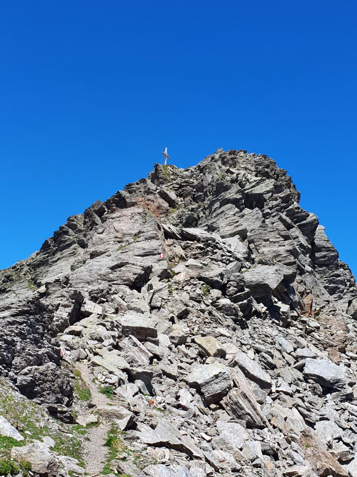
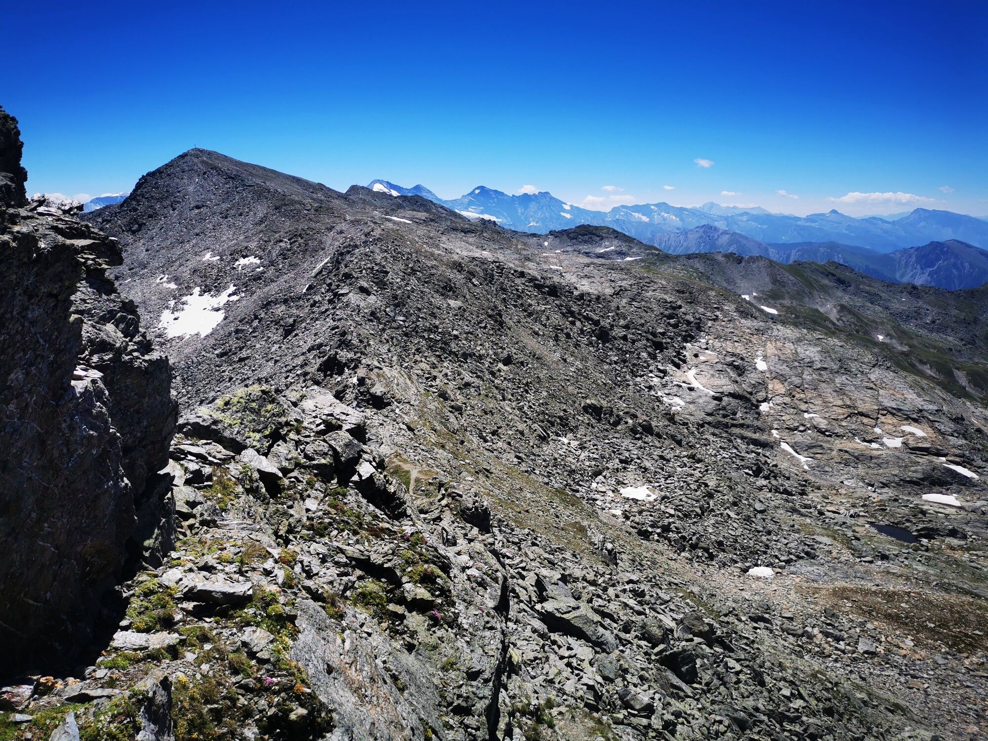
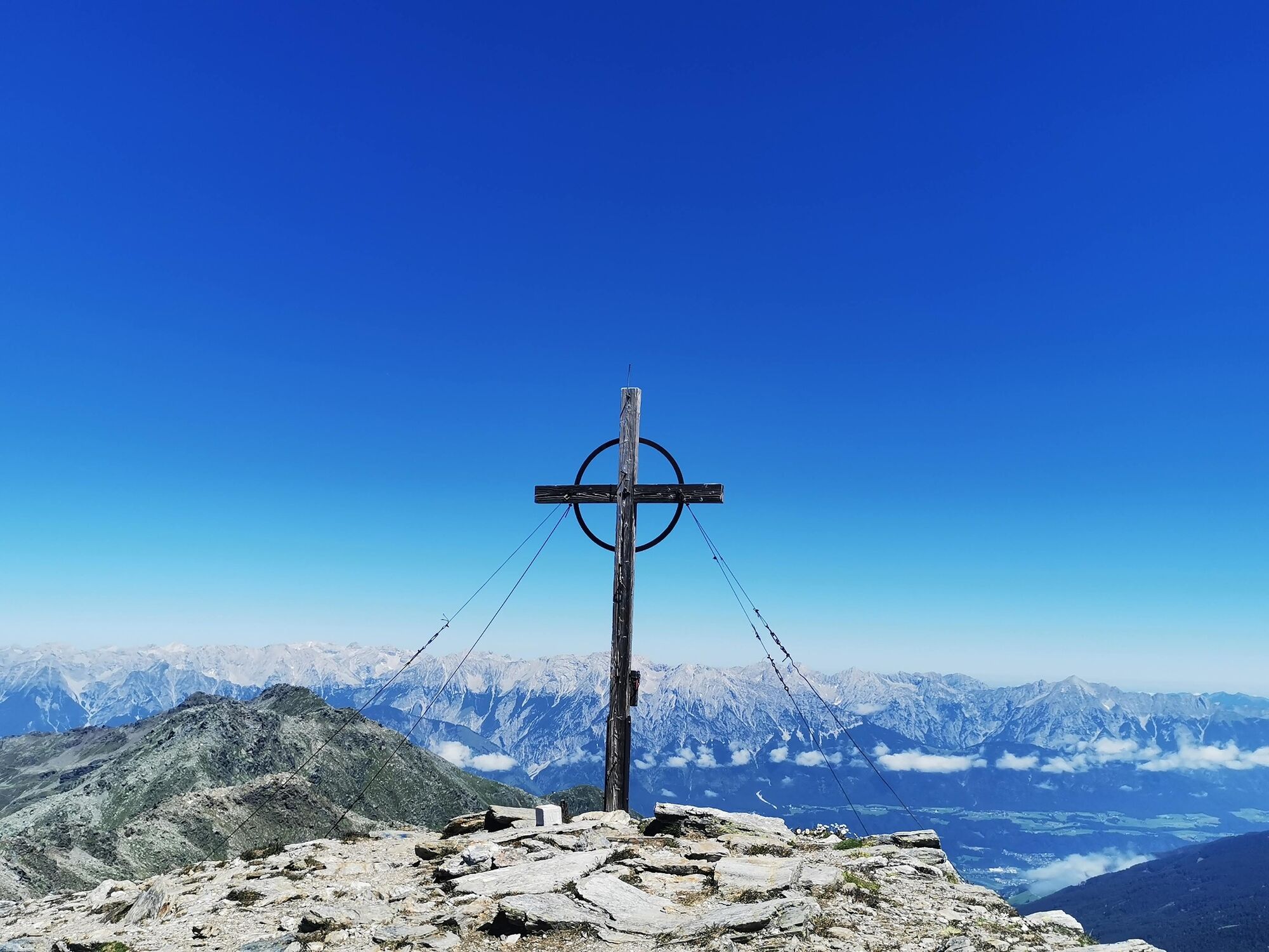
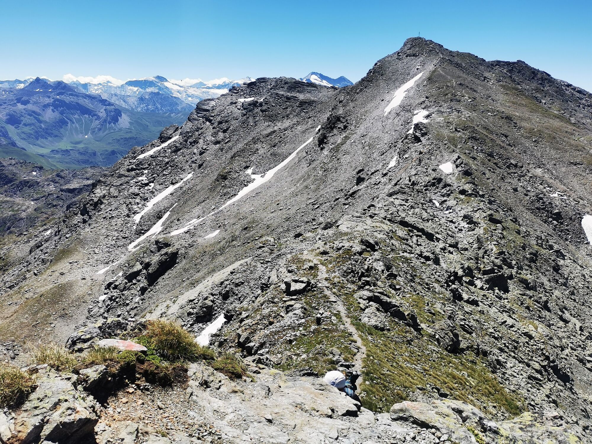
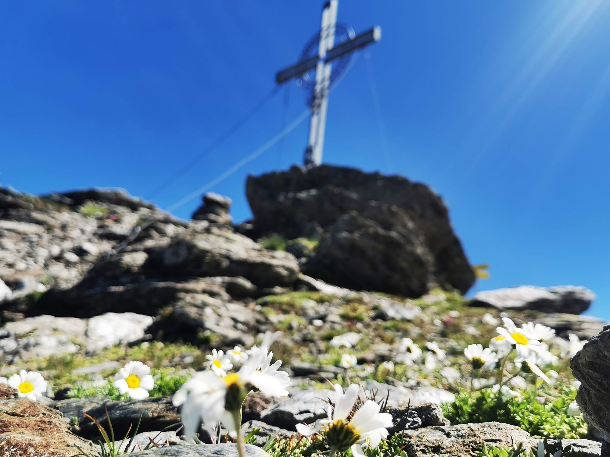
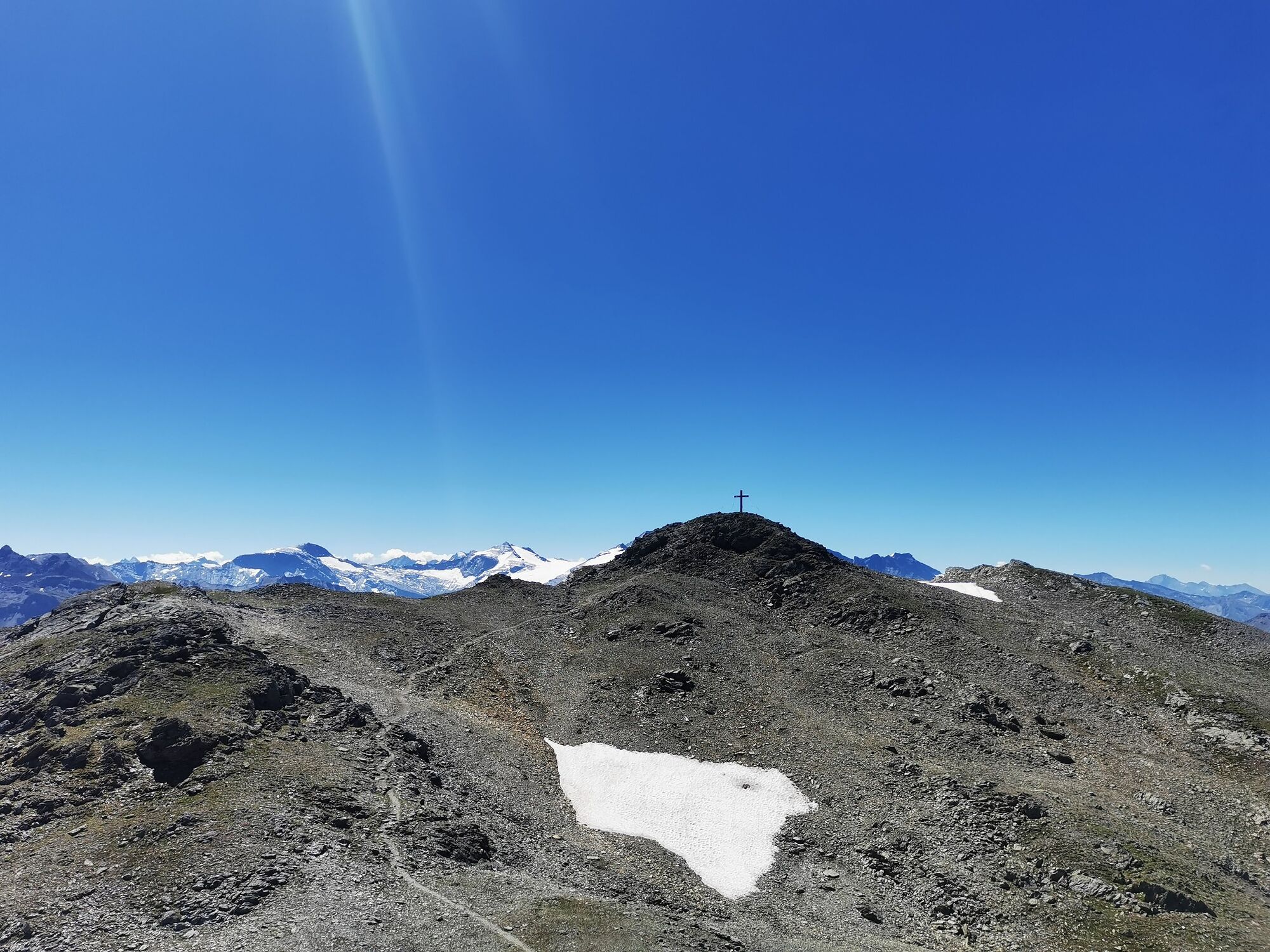
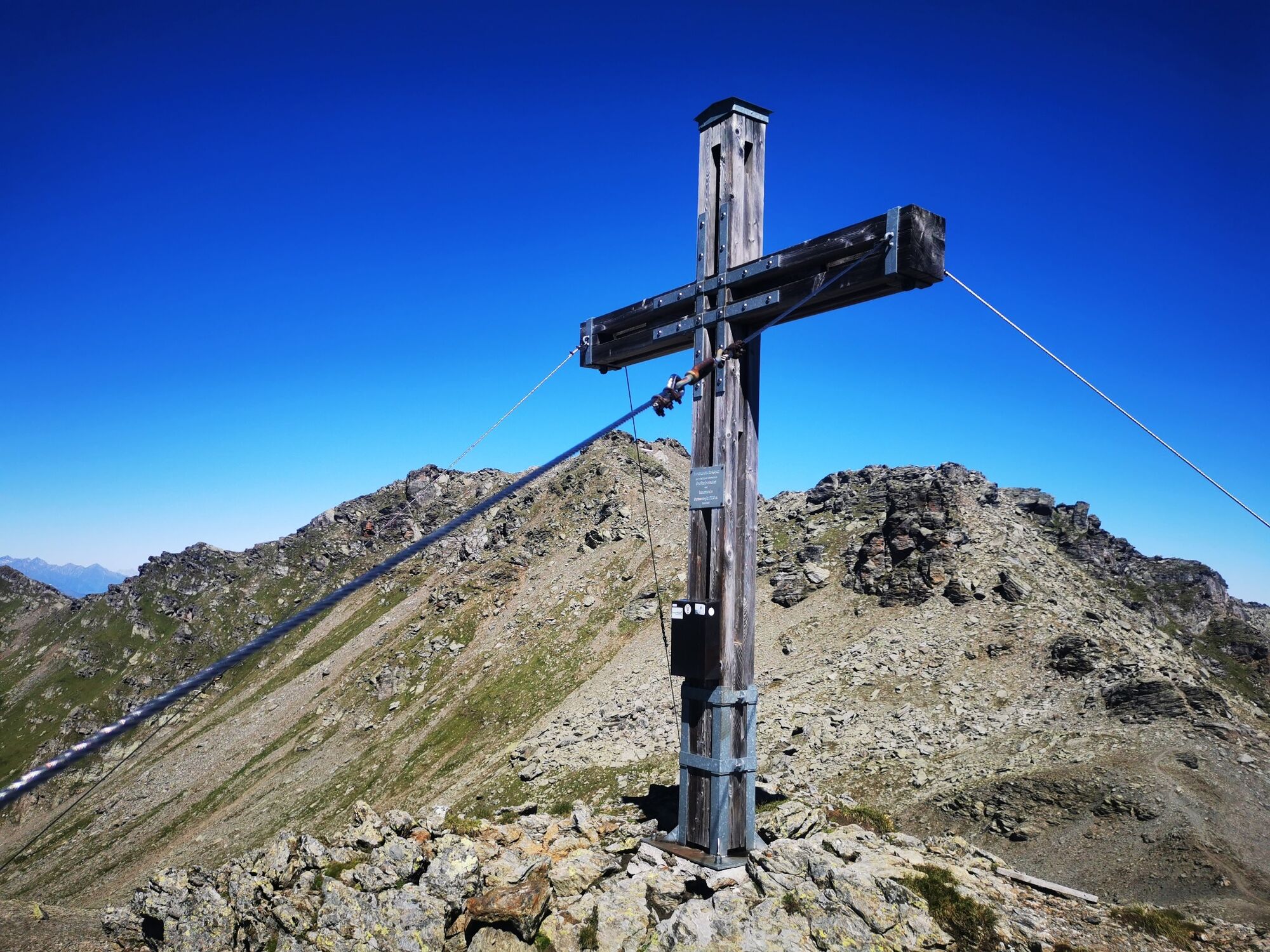
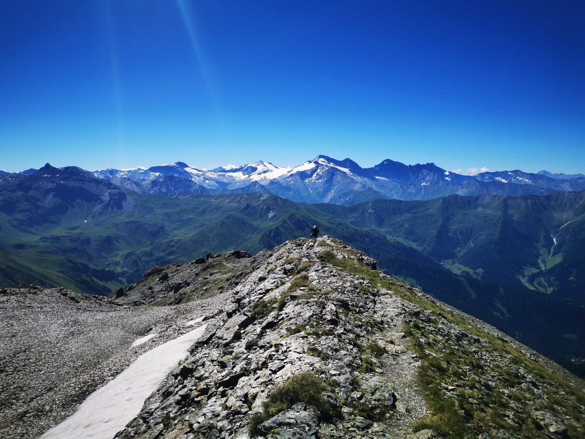
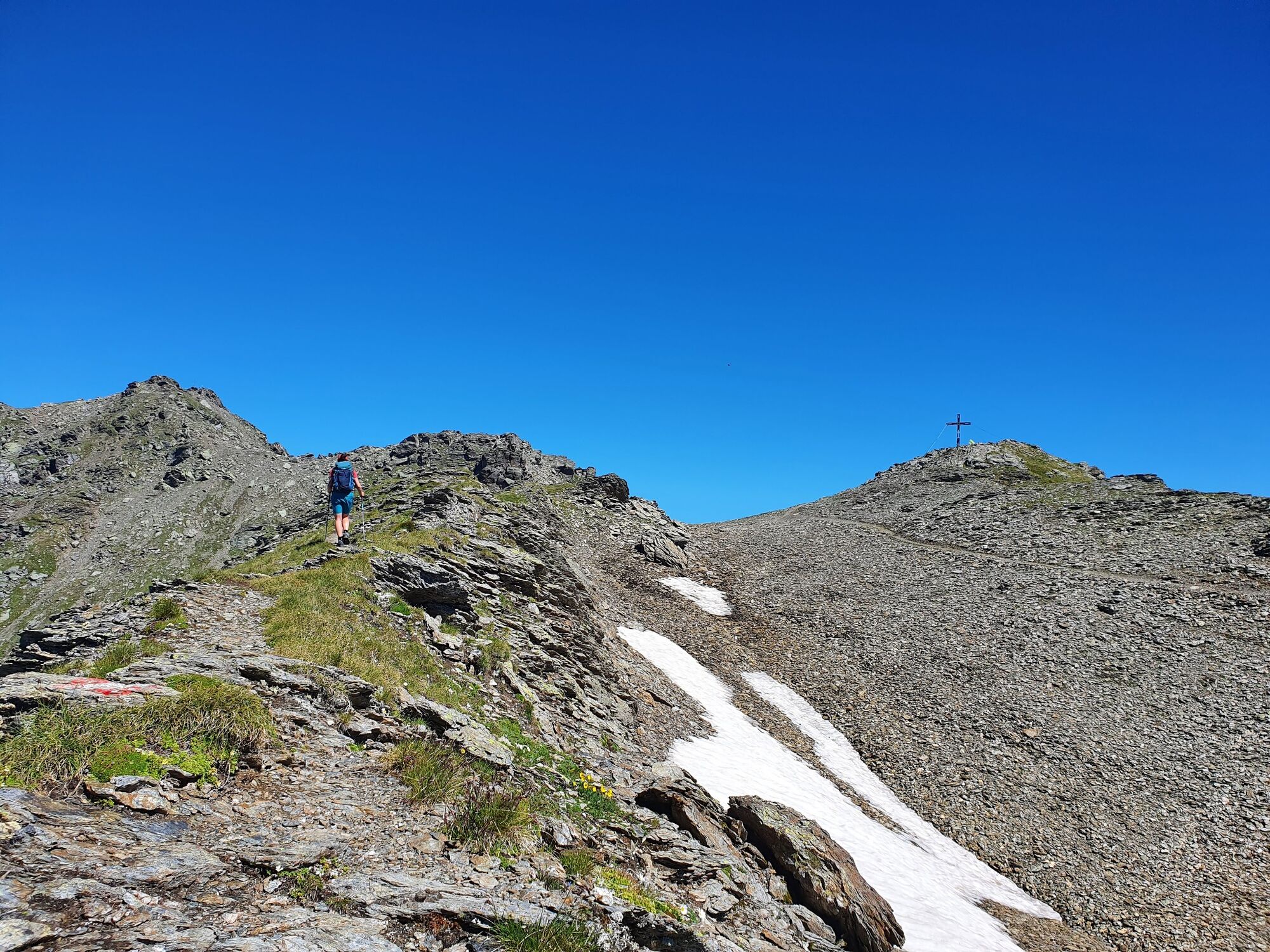
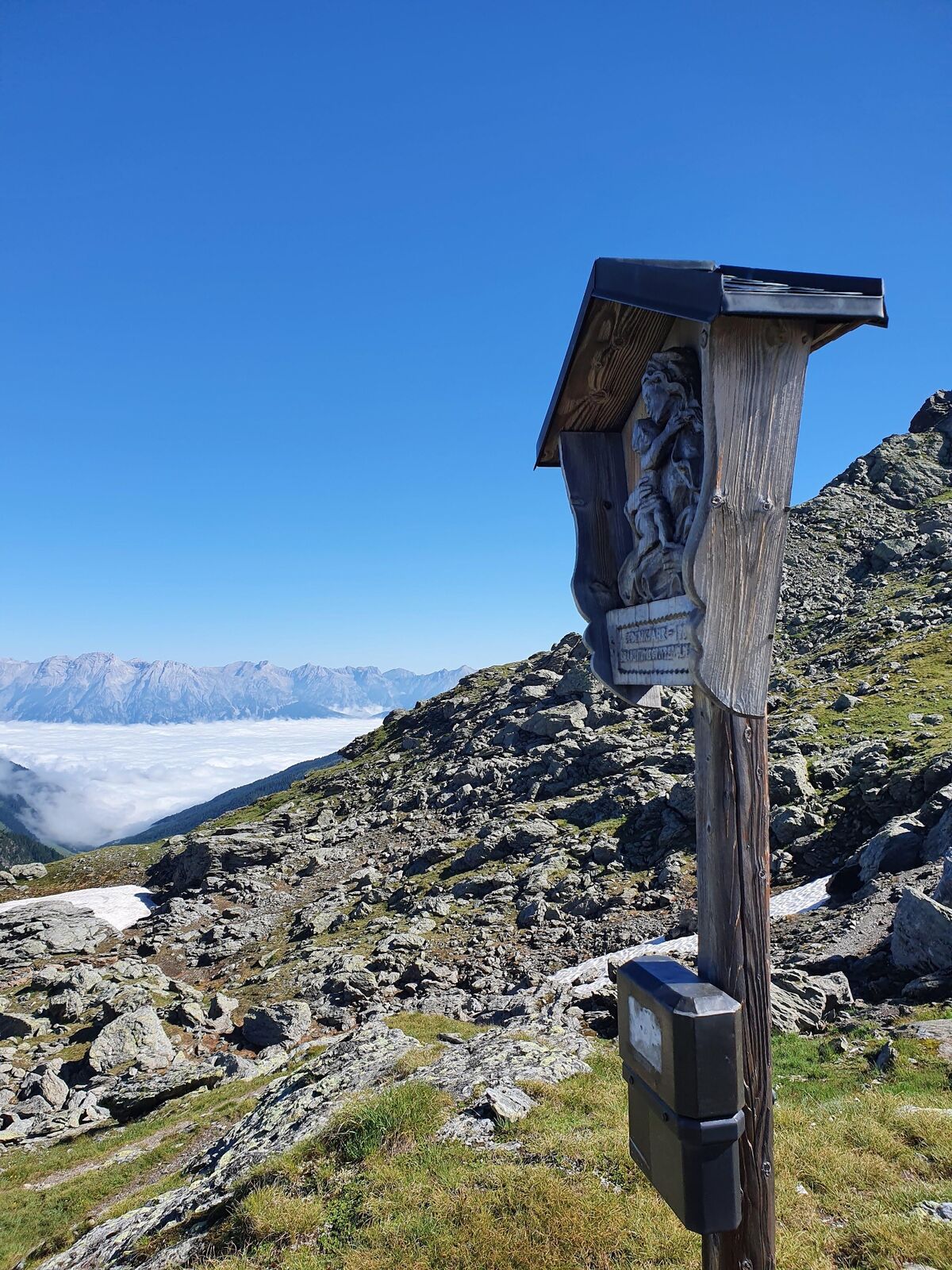
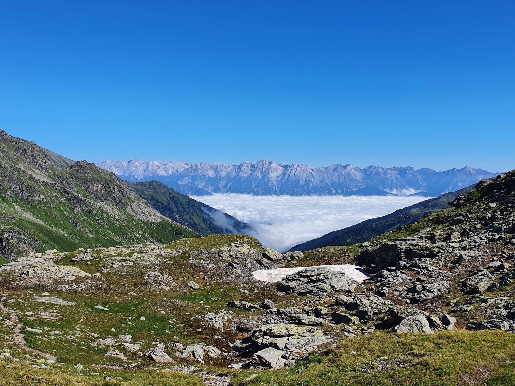
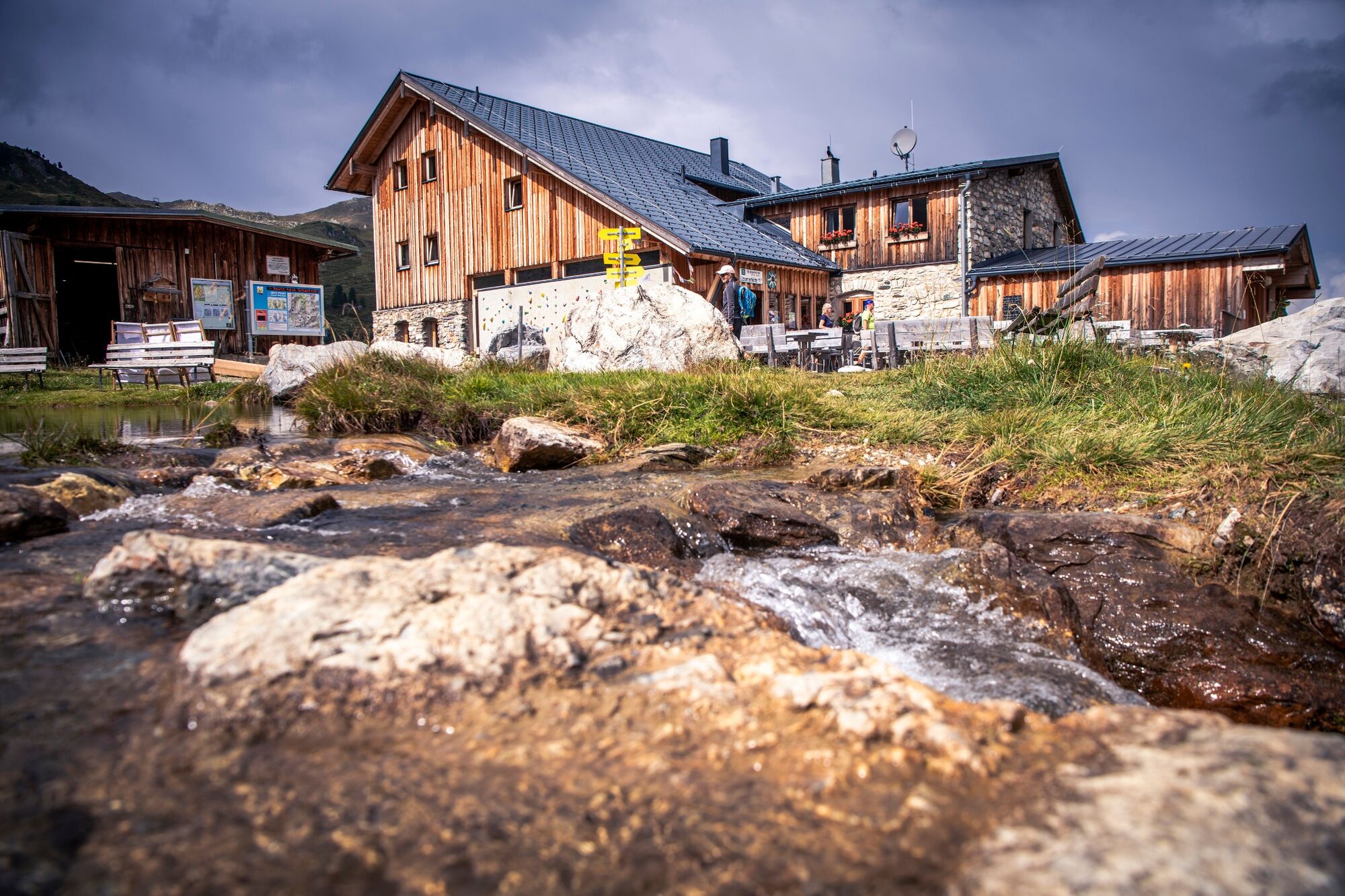
Continue along the ridge of the Glungezer over several smaller peaks towards the Rosenjoch. At the summit of the Rosenjoch, follow the markings over an exposed passage to the Grünbergspitze. Via the Grafmartspitze you reach the Naviser Jöchl. Through numerous serpentines in green alpine pastures you reach the Mölsjoch. Via the Klamm Joch you finally reach the Lizumerhütte.
- Moeilijkheid
-
zwaar
- Waardering
-
- Route
-
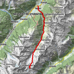
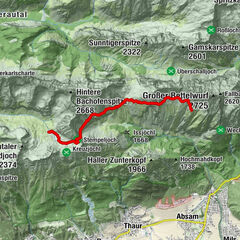
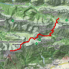
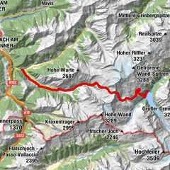
Glungezerhütte0,0 kmGlungezer (2.677 m)0,4 kmGamslahnerspitze (2.681 m)1,7 kmKreuzspitze (2.746 m)3,4 kmRosenjoch (2.796 m)4,2 kmGrünbergspitze (2.790 m)5,0 kmGrafmartspitze (2.720 m)5,6 kmMölsjoch (2.334 m)8,2 kmTarntaler Köpfe (2.756 m)13,2 kmLizumer Hütte (2.019 m)15,7 km
- Beste seizoen
-
janfebmrtaprmeijunjulaugsepoktnovdec
- Maximale hoogte
- 2.787 m
- Bestemming
-
Lizumer Hütte
- Hoogteprofiel
-


-

-
AuteurDe rondleiding Munich - Venice: From the Glungezer Hut to the Lizumer Hut wordt gebruikt door outdooractive.com op.
GPS Downloads


Algemene info
Tip voor insiders
Veelbelovend
Meer rondleidingen in de regio's
-
Ferienregion Hall - Wattens
1491
-
Navis
309