© Tourismusverband Region Hall-Wattens - Hall Wattens

- Korte beschrijving
-
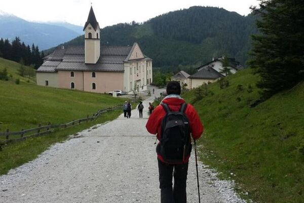
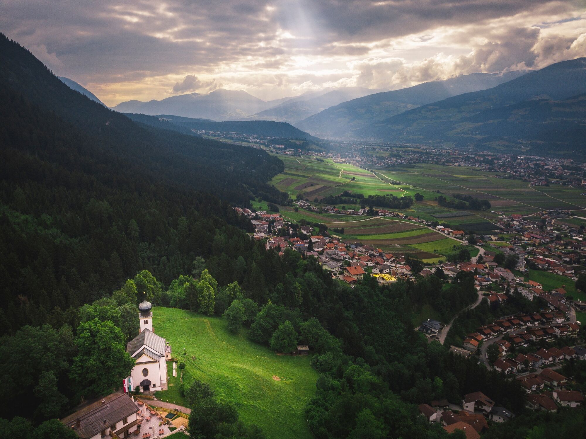
Together with Pastor Martin Ferner, Hans Staud has created the Romedius Pilgrim's Way from Thaur to San Romedio with the help of various records and maps. The impressive pilgrimage path provides the pilgrim with moments of rest and contemplation. Along the way you cross borders - not only those between North Tyrol, South Tyrol and Trentino but also your own borders.
Discover your spiritual side on the traces of Saint Romedius.
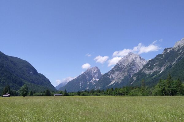
From the Romediuskirchl in Thaur along the St. Romedius Path down into the Inn Valley, on to Innsbruck, through the wildly romantic Sill Gorge to the Stefansbrücke bridge and on the gallery path to Mieders in the Stubaital.
- Moeilijkheid
-
medium
- Waardering
-
- Route
-
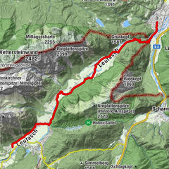
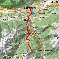
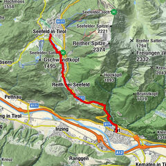
Schlosskirche St. RomediusRomediwirt0,0 kmThaur (633 m)1,0 kmRum (621 m)2,0 kmMarienkapelle2,3 kmGewerbegebiet Mühlau/Arzl5,6 kmSillzwickel7,0 kmKärntner Park7,6 kmDreiheiligen8,6 kmInnsbruck (574 m)8,9 kmTivoli9,6 kmUnterberg17,2 kmRestaurant Europabrücke19,0 kmSchönberg im Stubaital (1.013 m)20,1 kmPfarrkirche Mariä Geburt23,6 kmMieders (952 m)23,7 kmKalvarienberg-Kirchlein24,0 km
- Beste seizoen
-
janfebmrtaprmeijunjulaugsepoktnovdec
- Maximale hoogte
- 968 m
- Bestemming
-
Mieders
- Hoogteprofiel
-

-

-
AuteurDe rondleiding Romedius Pilgrim`s Way wordt gebruikt door outdooractive.com op.
GPS Downloads


Algemene info
Verfrissingsstop
Cultureel/Historisch
Meer rondleidingen in de regio's
-
Innsbruck und seine Feriendörfer
1520
-
Igls
440