© TVB Tannheimer Tal

© Tannheimer Tal - Tourismusverband Tannheimer Tal

© Tannheimer Tal - Tourismusverband Tannheimer Tal

© Tannheimer Tal - Tourismusverband Tannheimer Tal
© Tannheimer Tal - Tourismusverband Tannheimer Tal

© Tannheimer Tal - Tourismusverband Tannheimer Tal

© Tannheimer Tal - Tourismusverband Tannheimer Tal

© Tannheimer Tal - Tourismusverband Tannheimer Tal

© Tannheimer Tal - Tourismusverband Tannheimer Tal

© Tannheimer Tal - Florian Müller
- Korte beschrijving
-
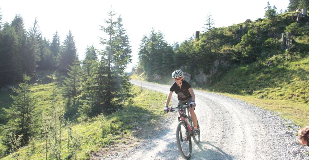
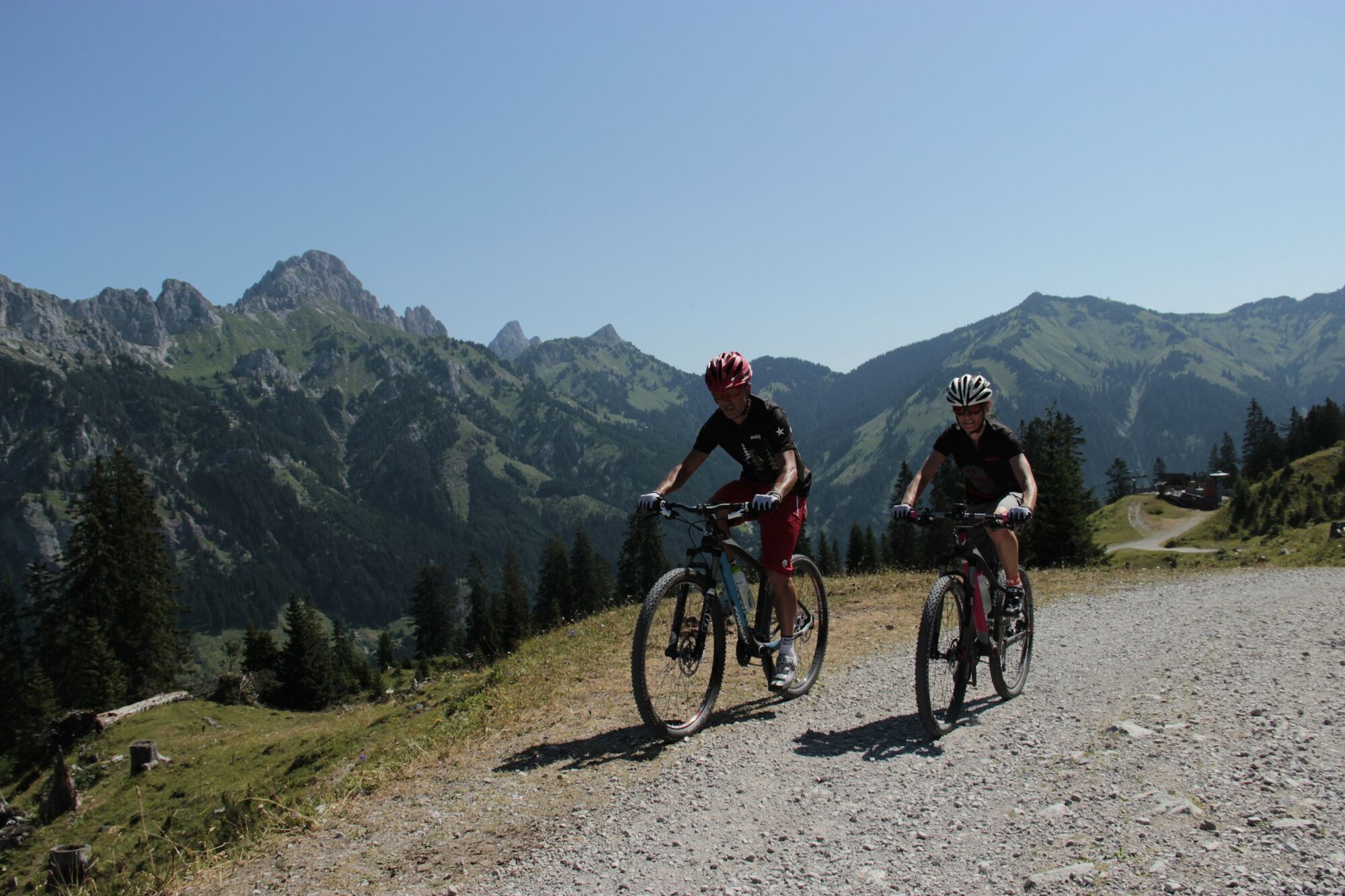
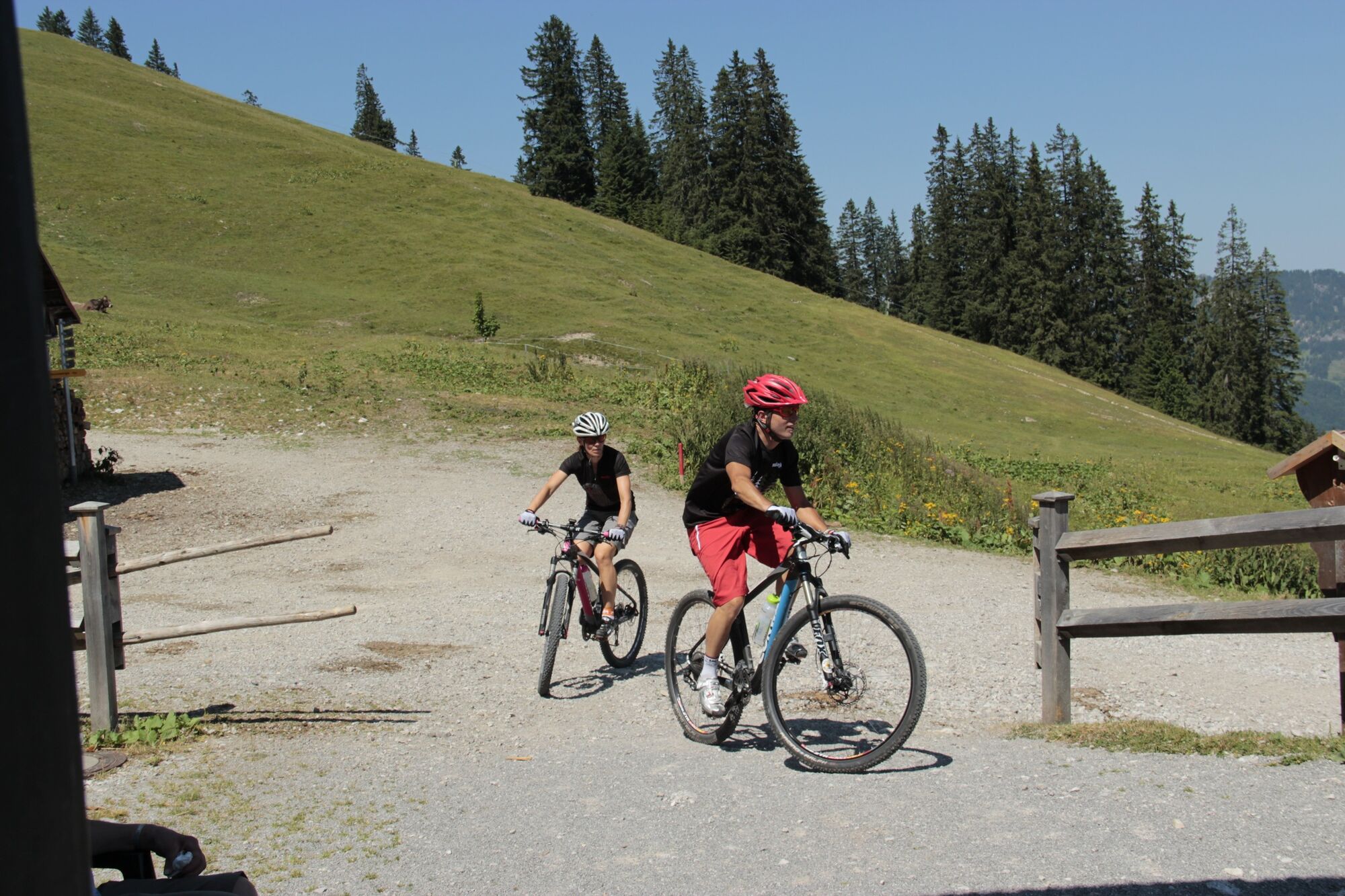
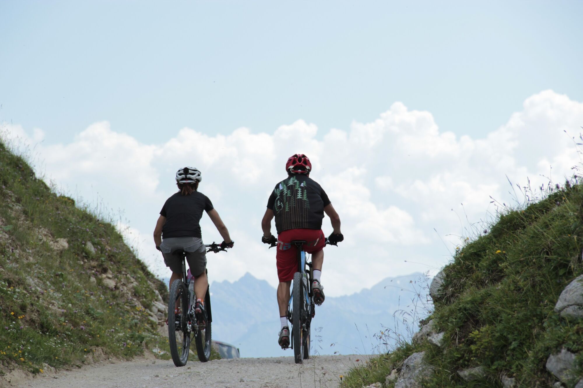
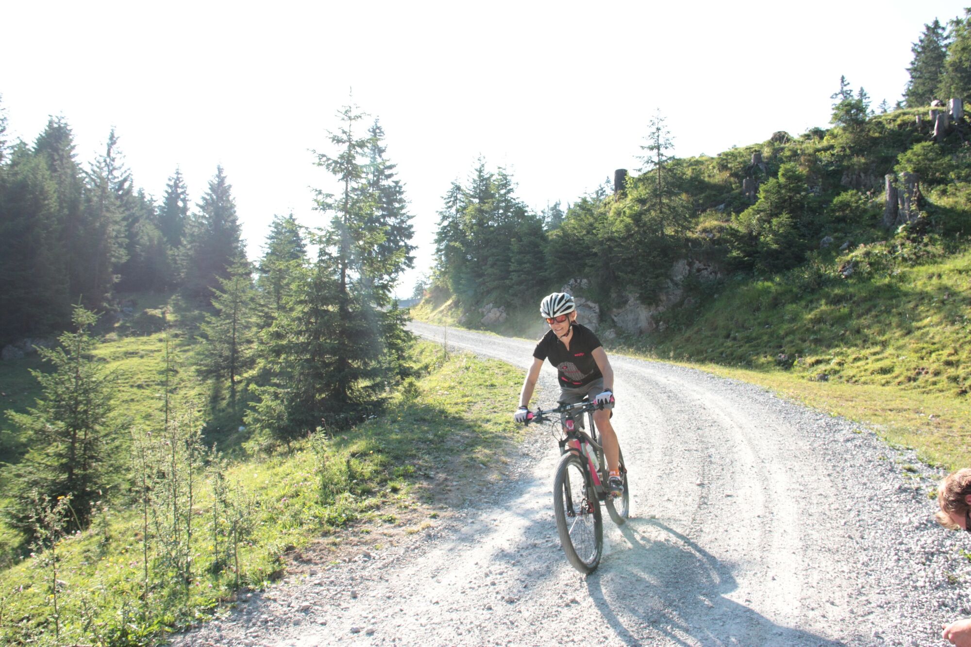
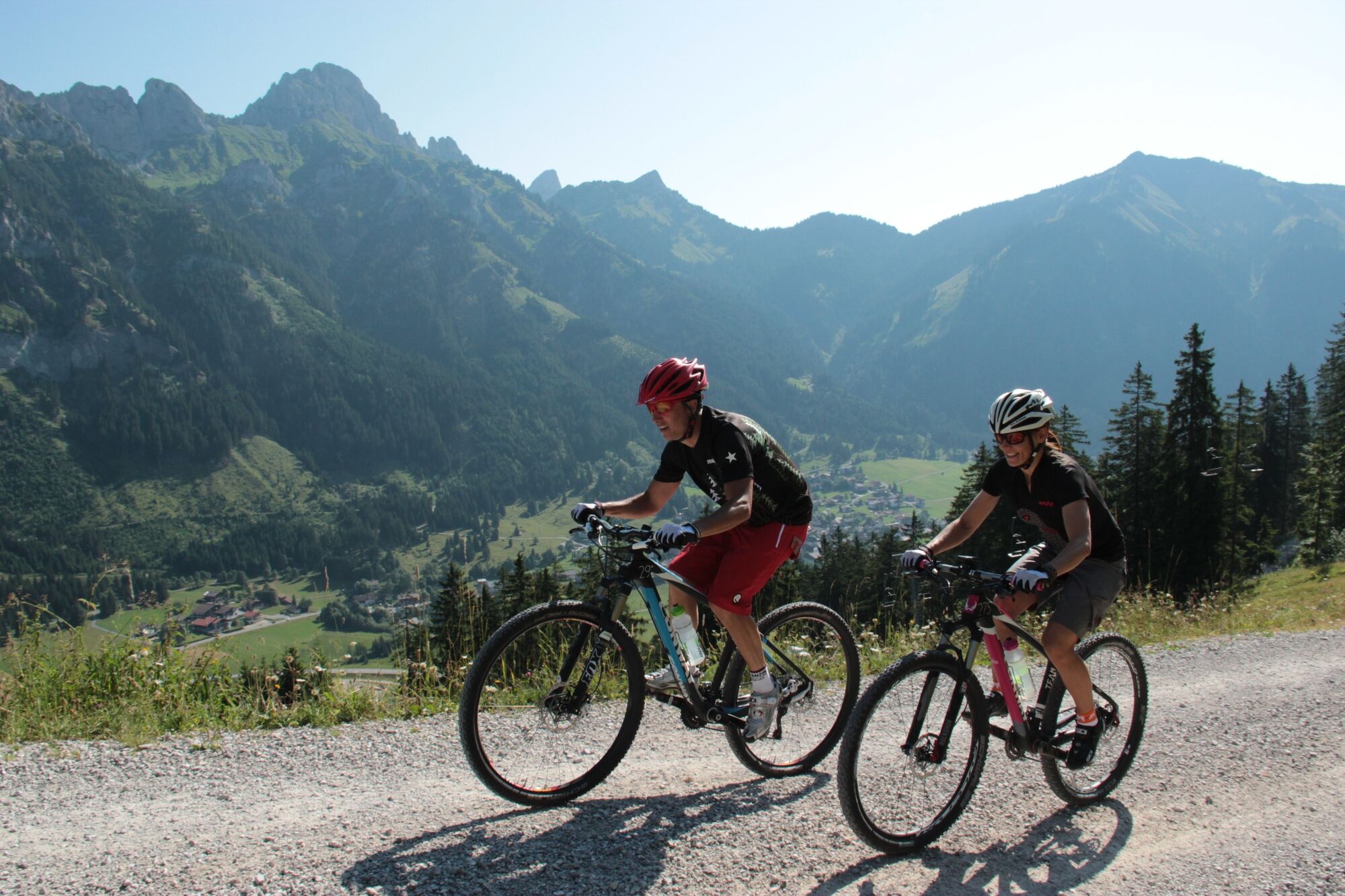
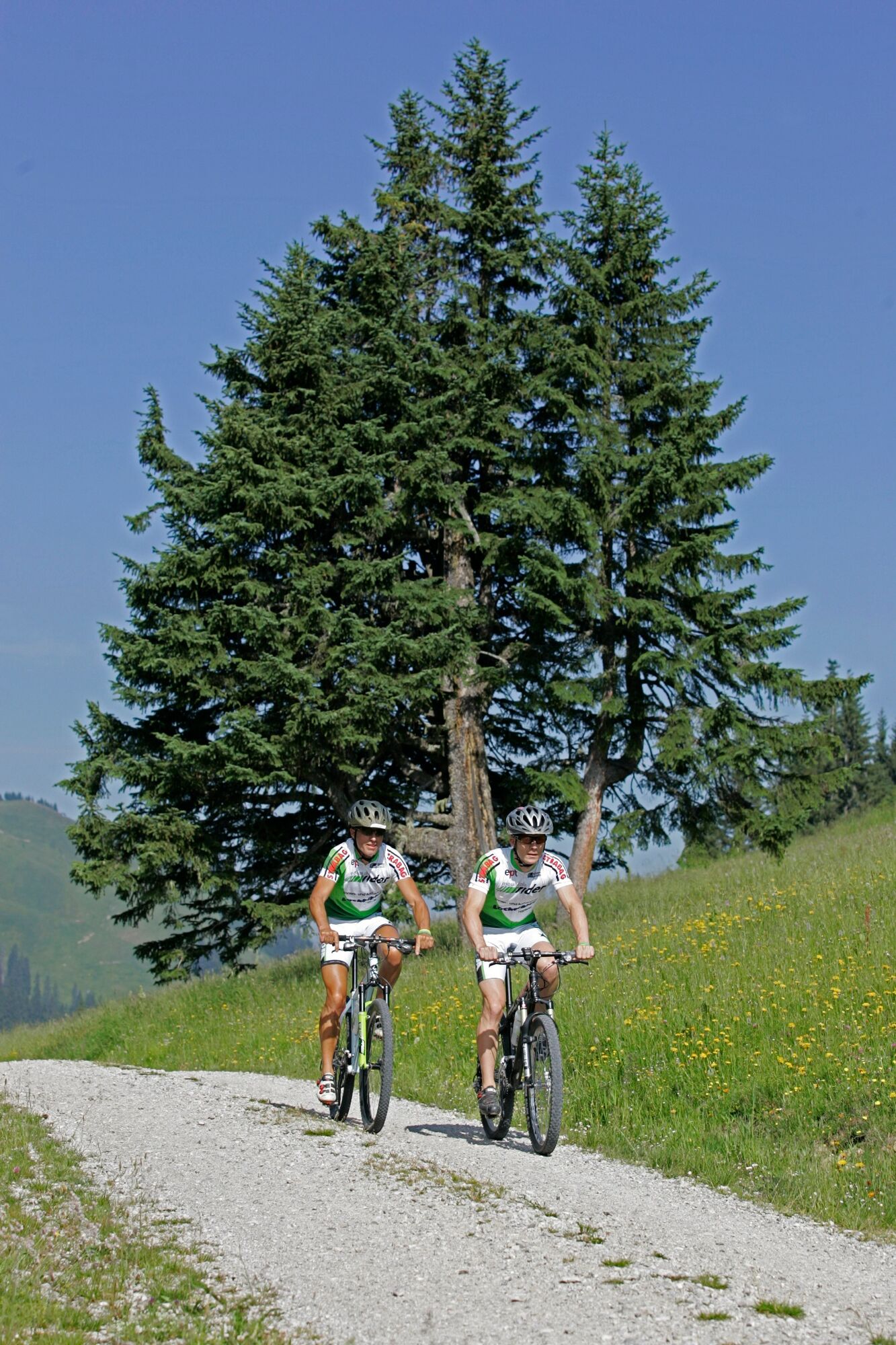
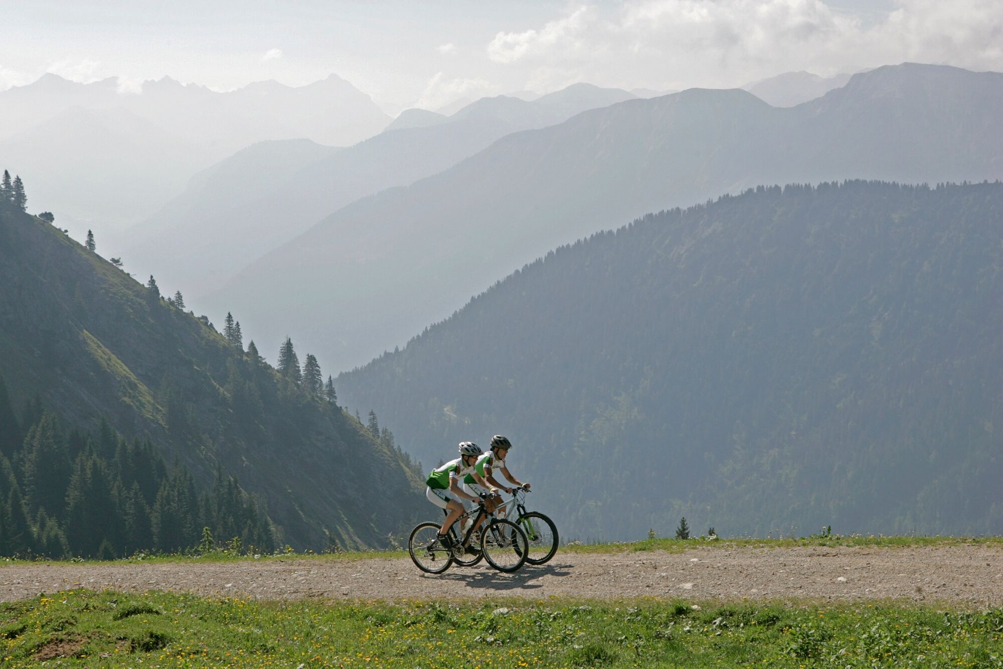
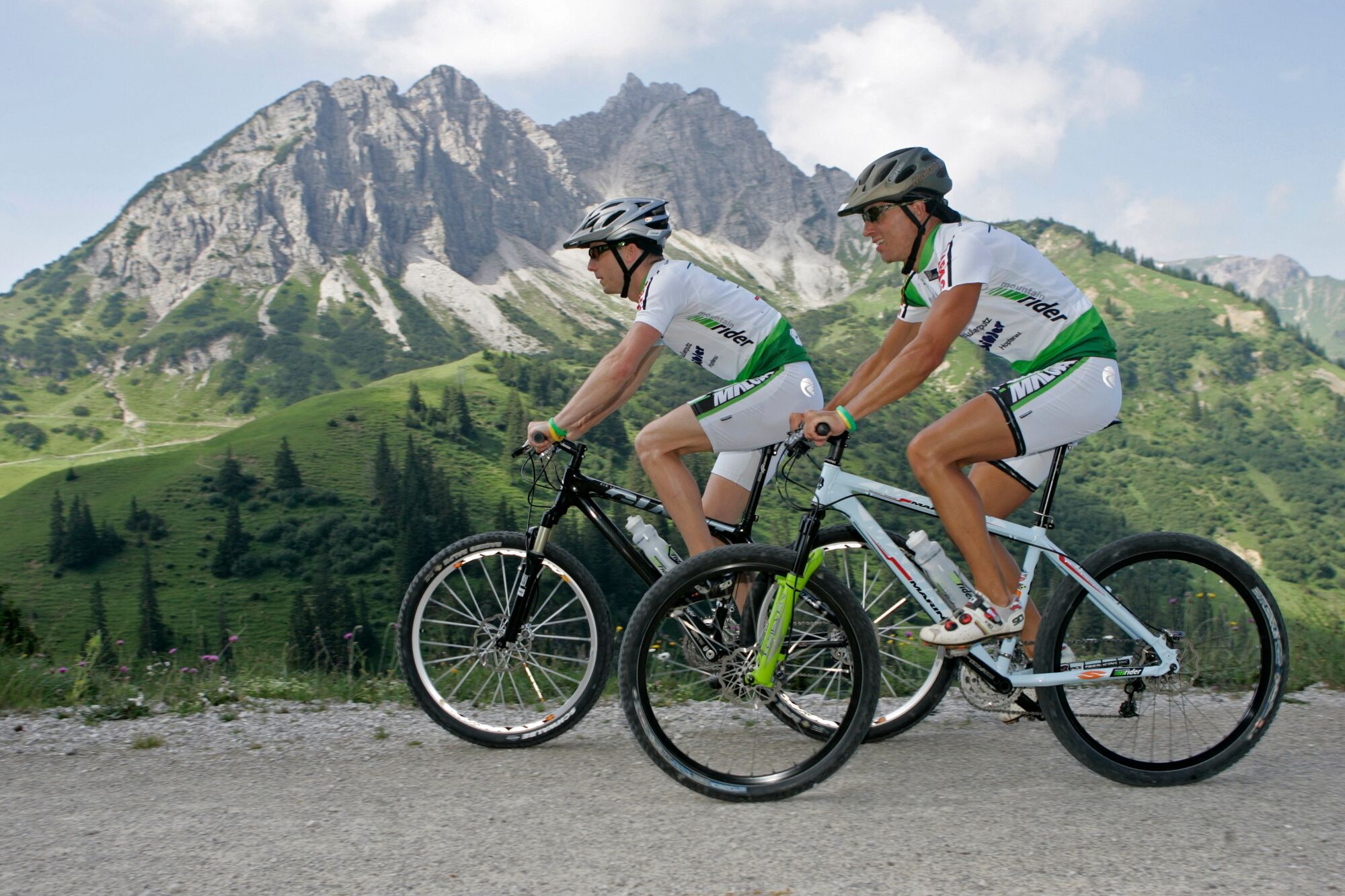
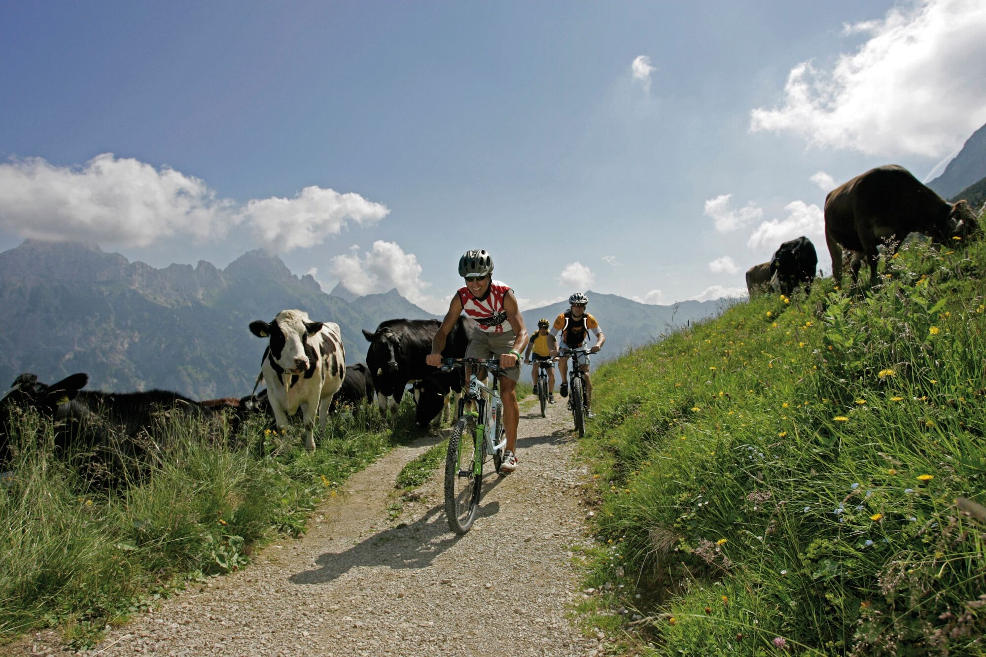
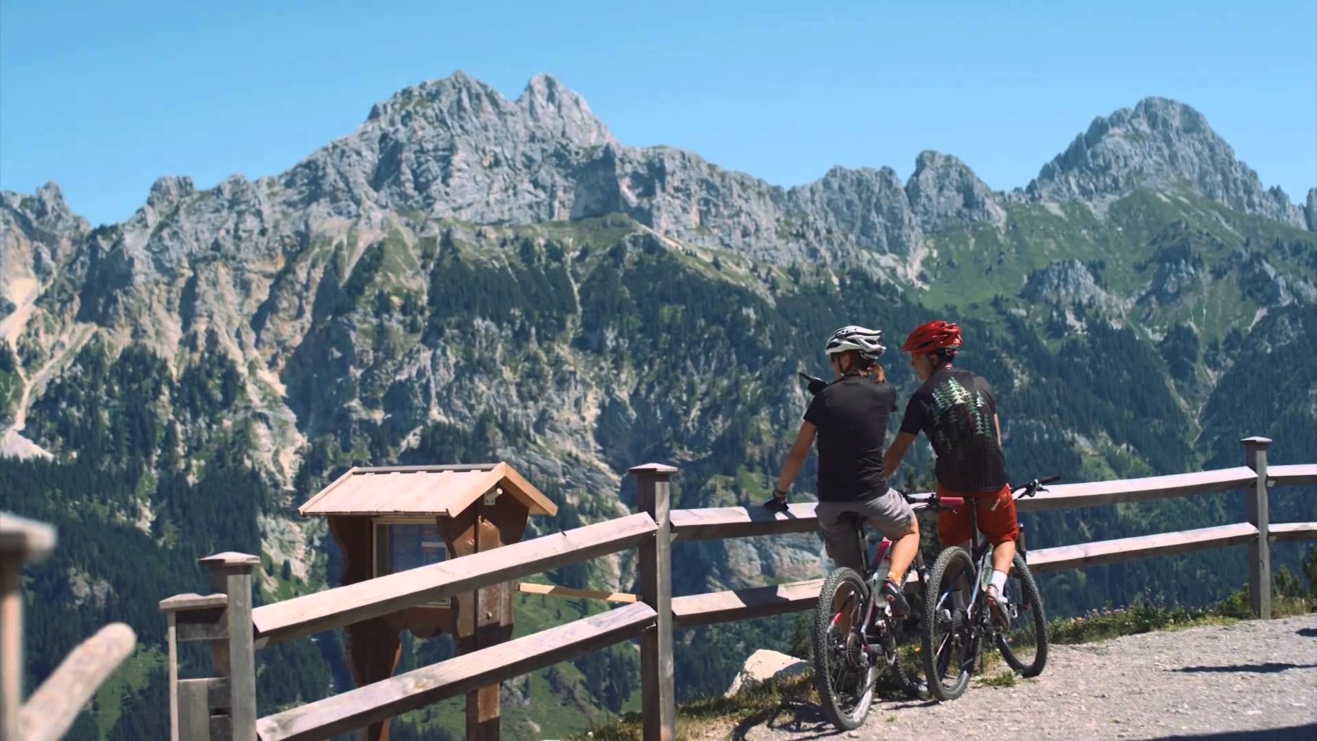
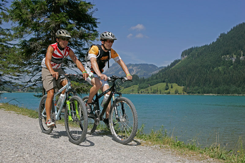
Enjoy the Tannheimer Tal on the bike.
- Moeilijkheid
-
medium
- Waardering
-
- Route
-
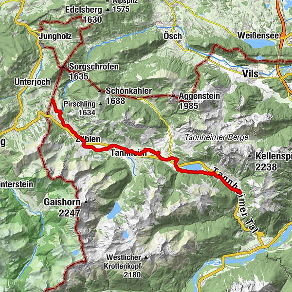
Nesselwängle (1.136 m)1,2 kmKrinnenalpe1,9 kmSchmitte2,3 kmTauscher's Alm5,1 kmSt. Jakobus5,5 kmHaldensee5,7 kmGrän (1.138 m)6,5 kmInnergschwend9,1 kmTannheim (1.097 m)10,7 kmFischteich13,2 kmZöblen (1.087 m)14,7 kmFricken15,6 kmHaus Schattwald (1.100 m)15,7 kmSchattwald (1.072 m)15,9 kmWies16,1 kmSteig16,9 km
- Beste seizoen
-
janfebmrtaprmeijunjulaugsepoktnovdec
- Maximale hoogte
- 1.164 m
- Bestemming
-
Landhotel Rehbach in Schattwald (exit from the tour possible on the whole valley level)
- Hoogteprofiel
-


- Auteur
-
De rondleiding Cycle path Tannheimer Tal - cycling wordt gebruikt door outdooractive.com op.
GPS Downloads


Algemene info
Verfrissingsstop
Flora
Fauna
Veelbelovend
Meer rondleidingen in de regio's
-
Allgäu
410
-
Tannheimer Tal
160
-
Tannheim
37