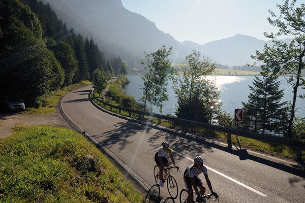
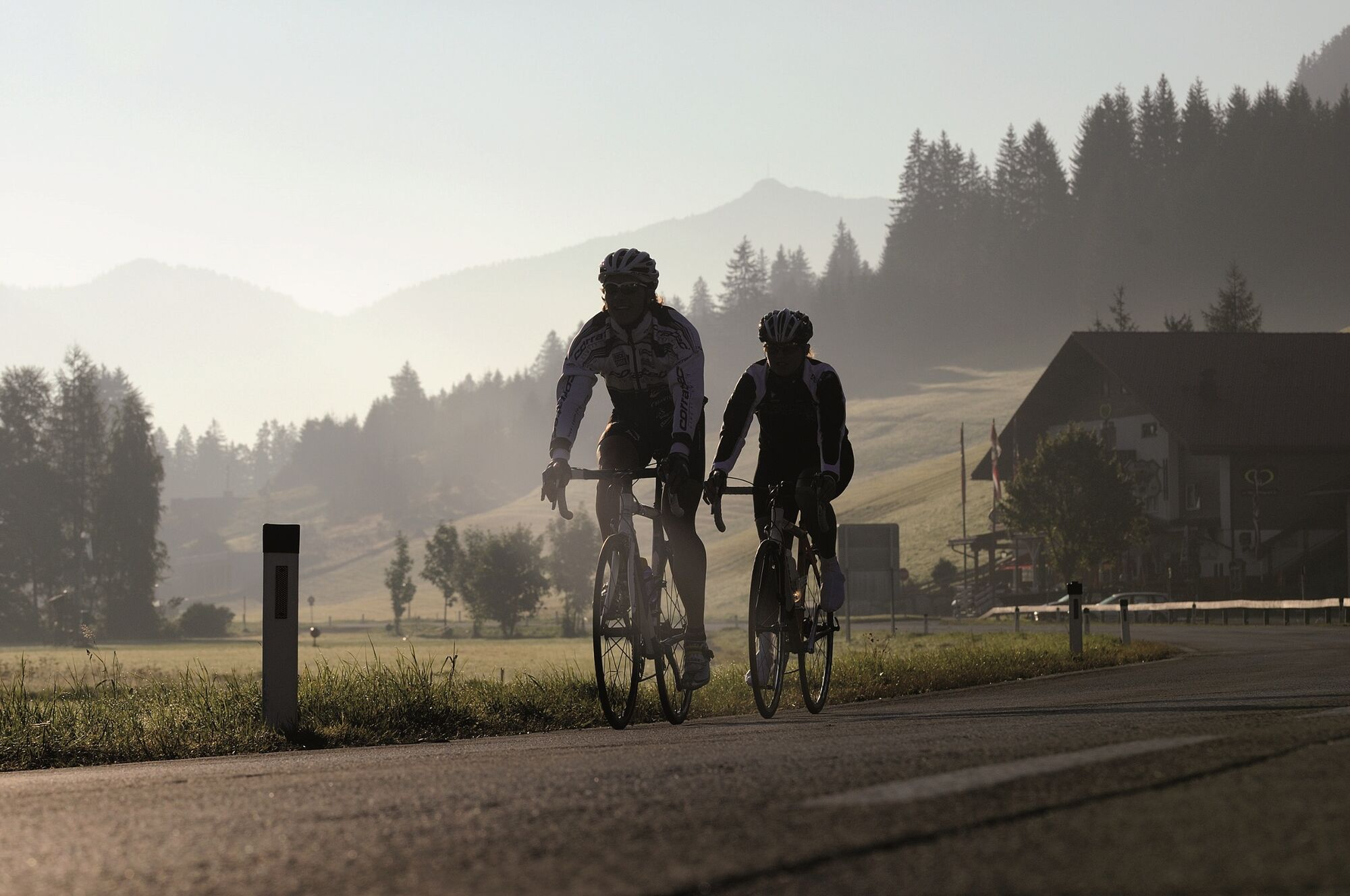
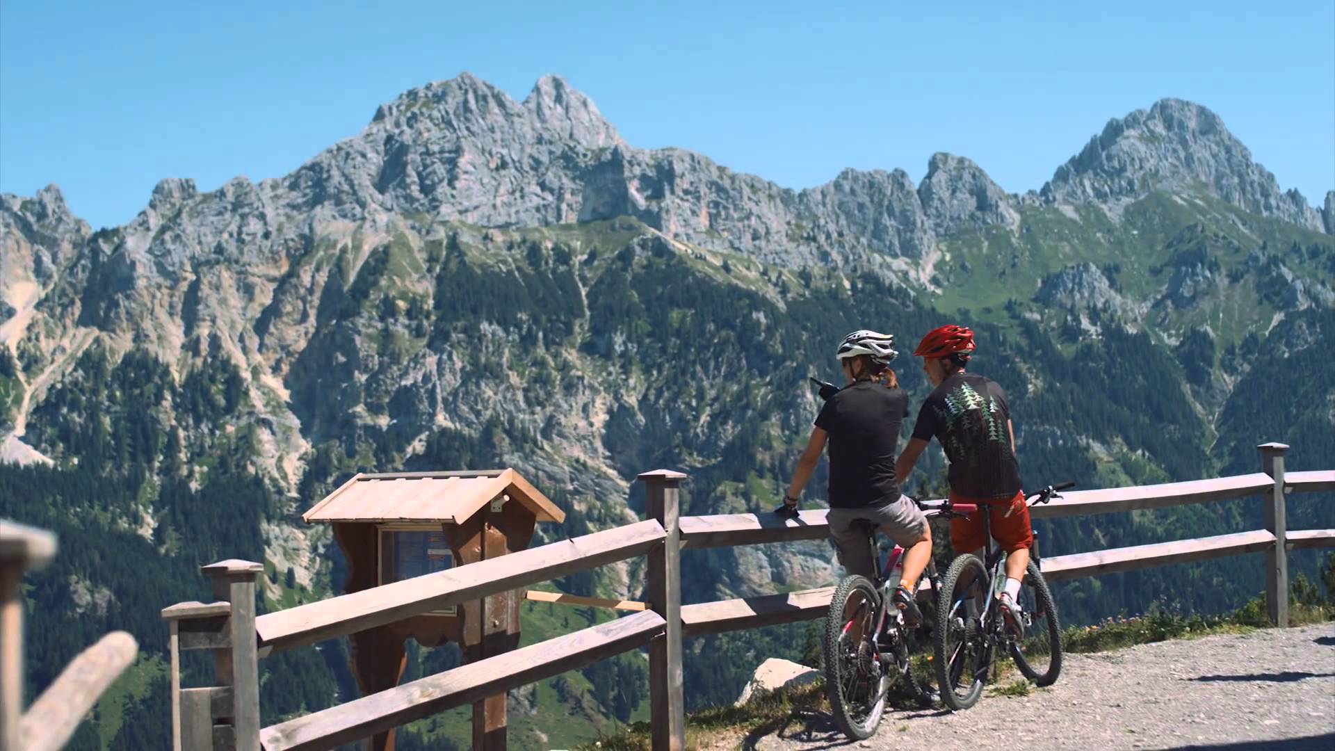
© Tannheimer Tal - Tourismusverband Tannheimer Tal
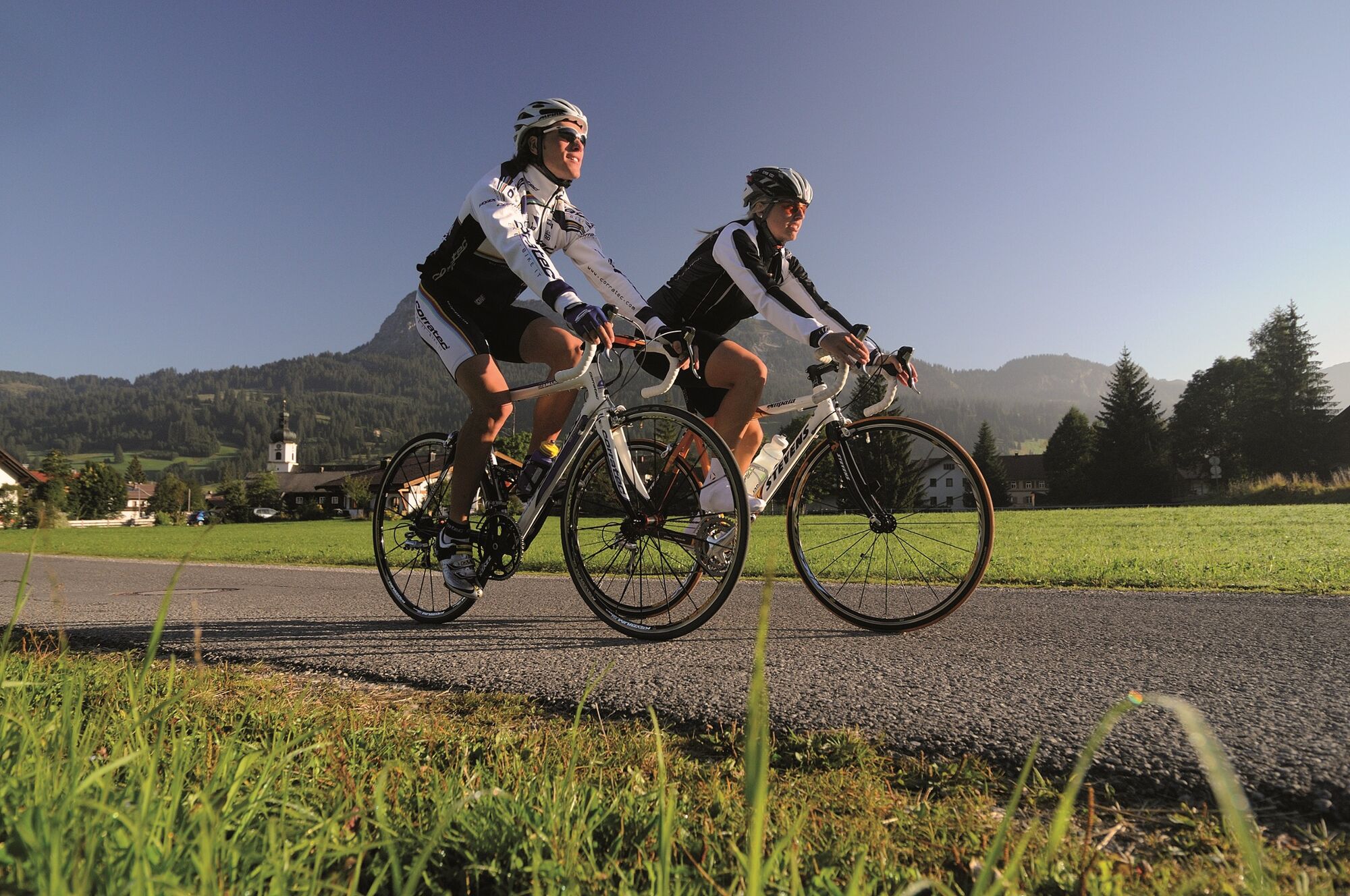
© Tannheimer Tal - Tourismusverband Tannheimer Tal
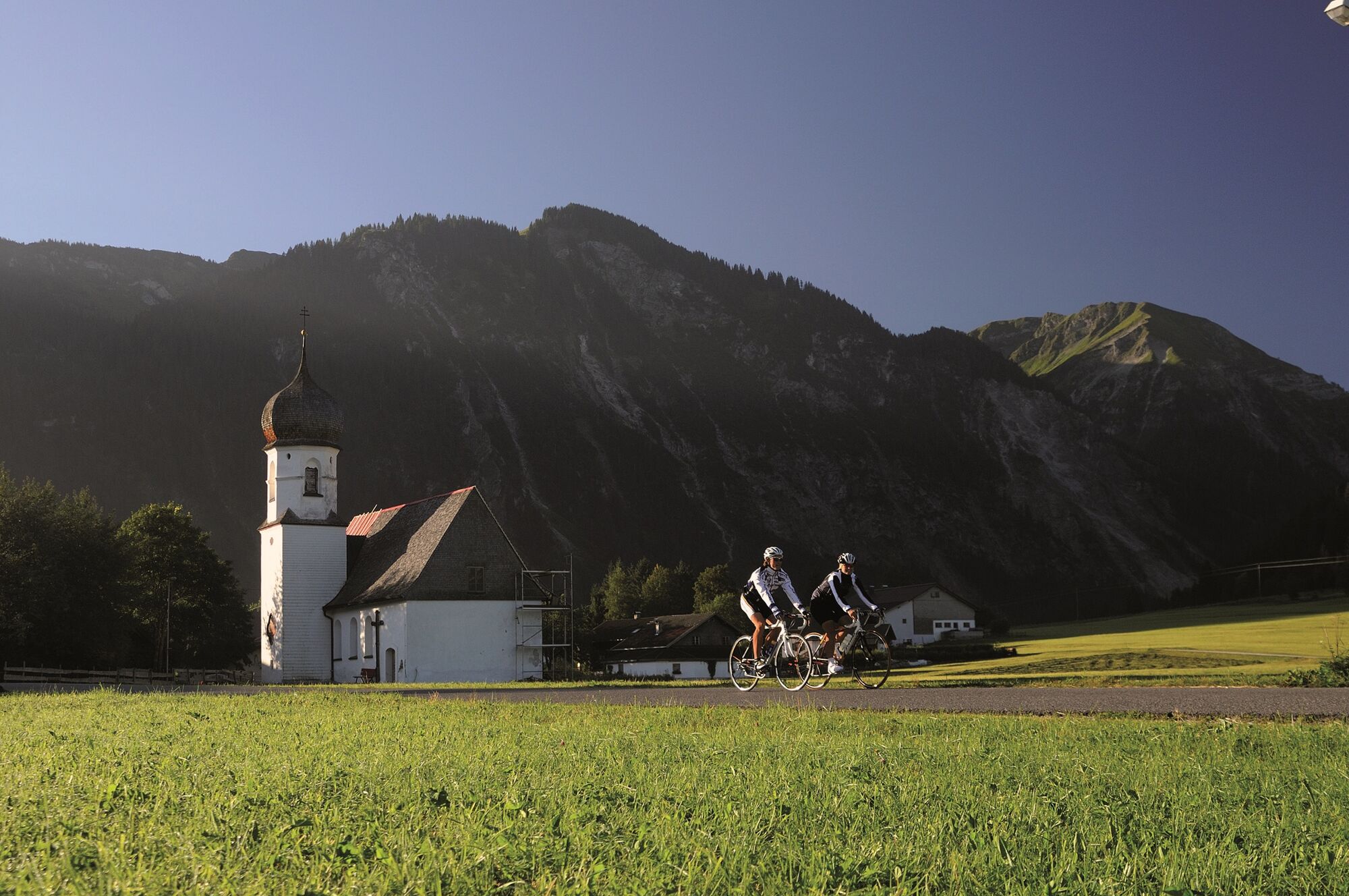
© Tannheimer Tal - Tourismusverband Tannheimer Tal
© Tannheimer Tal - Tourismusverband Tannheimer Tal
© Tannheimer Tal - Tourismusverband Tannheimer Tal

© Ferienregion Tannheimer Tal
© Ferienregion Tannheimer Tal

© Ferienregion Tannheimer Tal
© Ferienregion Tannheimer Tal
- Korte beschrijving
-
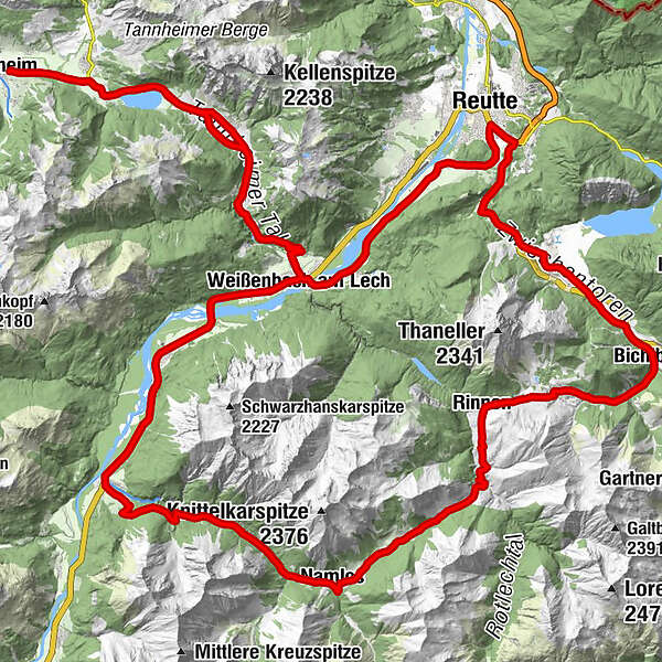
Start at the Tourism Information Office in Tannheim towards the East, past Nesselwängle via the Gaichtpaß to Weißenbach. Turn right at the traffic circle in to the Lech Valley, past...
- Moeilijkheid
-
medium
- Waardering
-
- Route
-
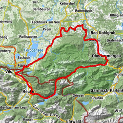
Tannheim (1.097 m)0,0 kmSt. Jakobus3,2 kmHaldensee3,2 kmVia Salina Hotel am See5,0 kmSt. Johannes5,1 kmHaller5,2 kmSchmittekapelle6,0 kmSchmitte6,2 kmNesselwängle (1.136 m)7,3 kmMariahilf Kapelle9,0 kmGasthof Klausenstüberl9,9 kmStegmühlkapelle9,9 kmRauth10,0 kmWeißenbach am Lech (885 m)14,9 kmDorfkirche14,9 kmForchach (910 m)20,6 kmBlockau24,5 kmStanzach (940 m)25,4 kmGasthaus Post25,4 kmPfarrkirche Stanzach25,4 kmNamlos (1.225 m)35,0 kmNamloser Hof35,1 kmKelmen38,1 kmRimmlstube44,7 kmRinnen44,7 kmSankt-Sebastian Kapelle44,9 kmKirche Berwang46,8 kmsportstüberl47,2 kmBerwang (1.342 m)47,2 kmDer Bär (Beim Schnapsbrenner)47,3 kmSonnalmbahn47,5 kmBichlbach (1.079 m)51,5 kmAlmkopf Rastland52,4 kmUnterdorf55,6 kmHeiterwang (994 m)55,8 kmOberdorf56,0 kmGasthof Post56,5 kmNeumühle61,5 kmNeuapostolische Kirche Reutte62,1 kmReutte (853 m)62,5 kmWeißenbach am Lech (885 m)71,9 kmDorfkirche72,0 kmRauth76,8 kmStegmühlkapelle76,9 kmGasthof Klausenstüberl76,9 kmMariahilf Kapelle77,9 kmNesselwängle (1.136 m)79,3 kmGasthof Köllenspitze79,4 kmPfarrkirche Mariä Himmelfahrt79,6 kmSchmitte80,6 kmSchmittekapelle80,8 kmHaller81,8 kmSt. Johannes81,9 kmVia Salina Hotel am See82,0 kmHaldensee83,7 kmSt. Jakobus83,7 kmTannheim (1.097 m)87,0 km
- Beste seizoen
-
janfebmrtaprmeijunjulaugsepoktnovdec
- Maximale hoogte
- 1.374 m
- Bestemming
-
Tannheim / Tannheim Valley / Tyrol
- Hoogteprofiel
-


- Auteur
-
De rondleiding Namlos Tour wordt gebruikt door outdooractive.com op.
GPS Downloads


Algemene info
Verfrissingsstop
Cultureel/Historisch
Flora
Fauna
Veelbelovend
Meer rondleidingen in de regio's