© Tourismusverband Region Hall-Wattens - Anne W.

© Tourismusverband Region Hall-Wattens - Anne W.
- Korte beschrijving
-
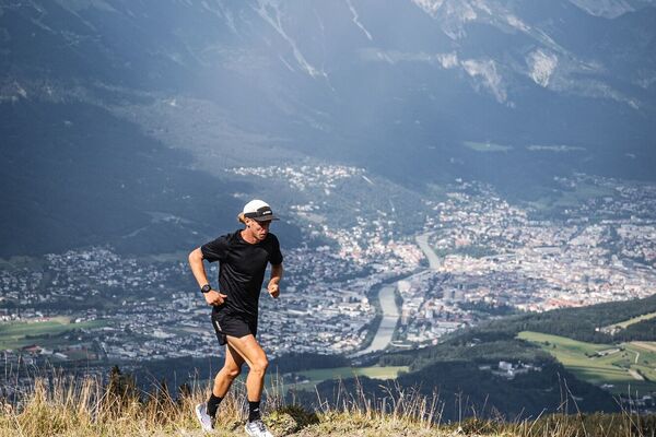
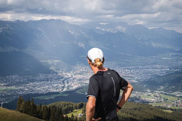
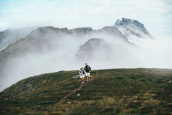
Suitable for those with stamina, the route travels along beautiful forest and meadow trails to the village of Thaur with a steep climb up to the Romedius Church
- Moeilijkheid
-
zwaar
- Waardering
-
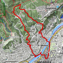
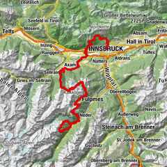
- Route
-
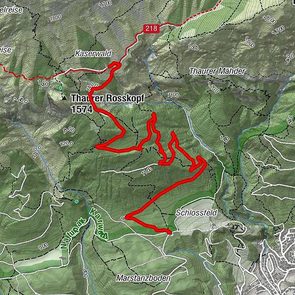
Partscheil3,4 kms`hoache Egg3,9 kmThaurer Alm5,0 kmSchihütte WSV Thaur5,0 km
- Beste seizoen
-
janfebmrtaprmeijunjulaugsepoktnovdec
- Maximale hoogte
- 1.456 m
- Bestemming
-
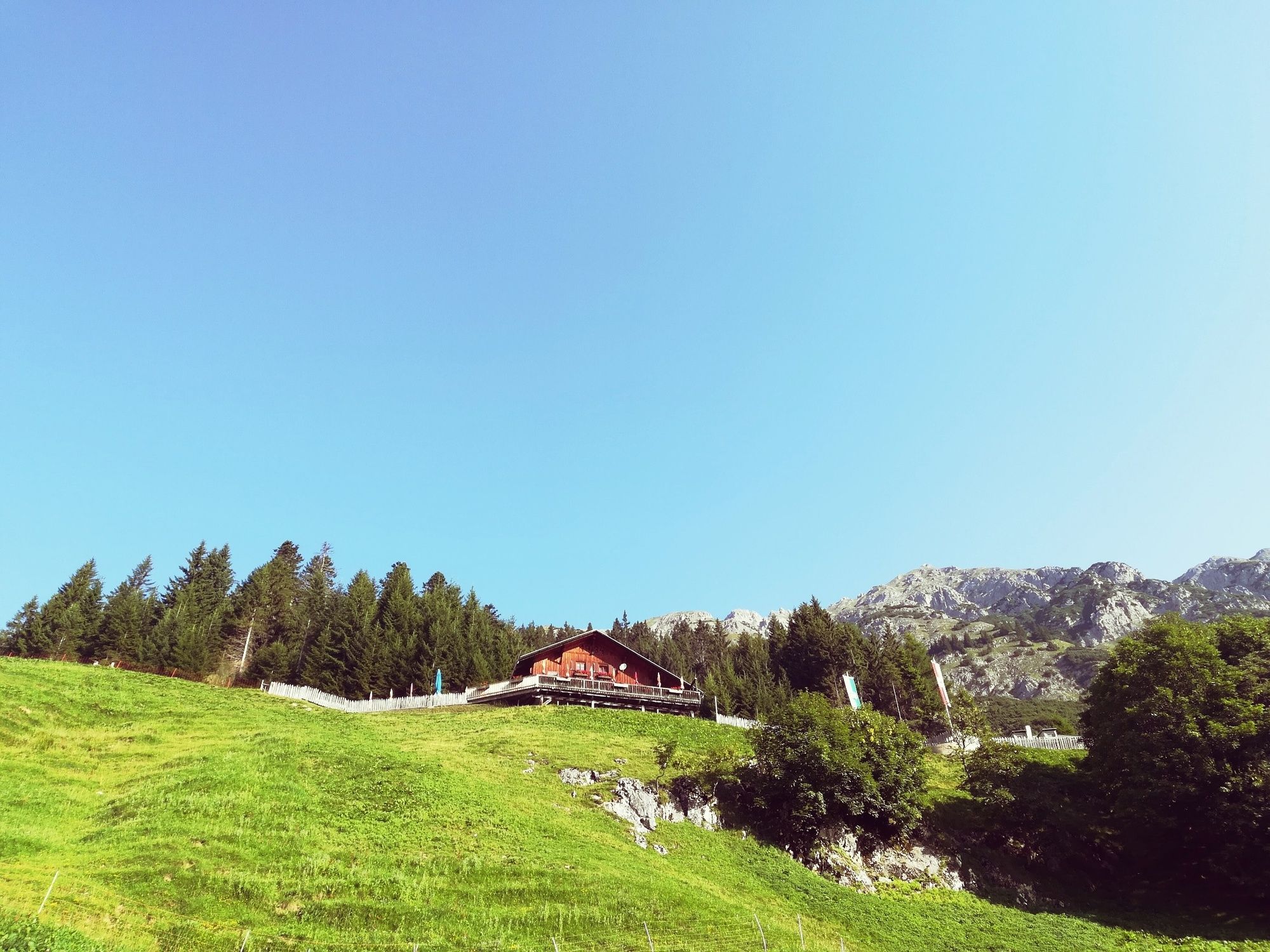
Thaurer Alm
- Hoogteprofiel
-

- Auteur
-
De rondleiding Mountain Run Thaurer Alm wordt gebruikt door outdooractive.com op.
GPS Downloads


Algemene info
Verfrissingsstop
Veelbelovend
Meer rondleidingen in de regio's