© TVB Wilder Kaiser - TVB Wilder Kaiser/Marcel Laemmerhirt

© TVB Wilder Kaiser - TVB Wilder Kaiser/von Felbert_Reiter

- Korte beschrijving
-
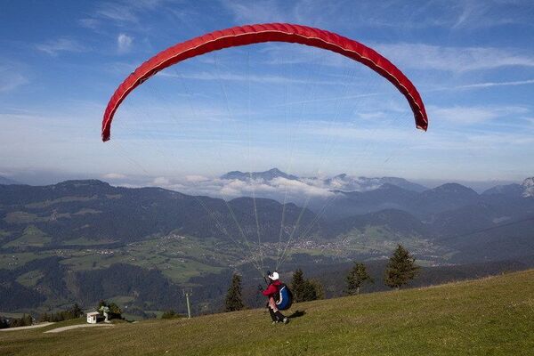
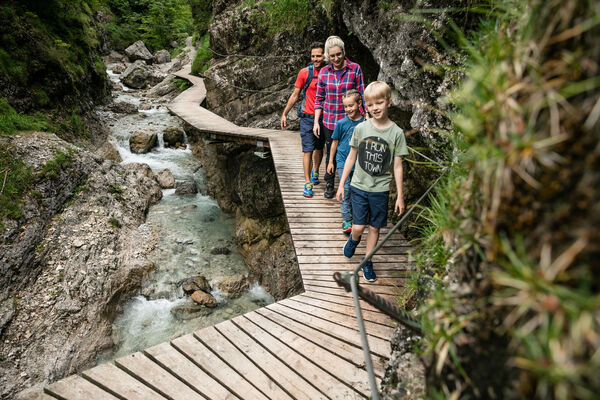
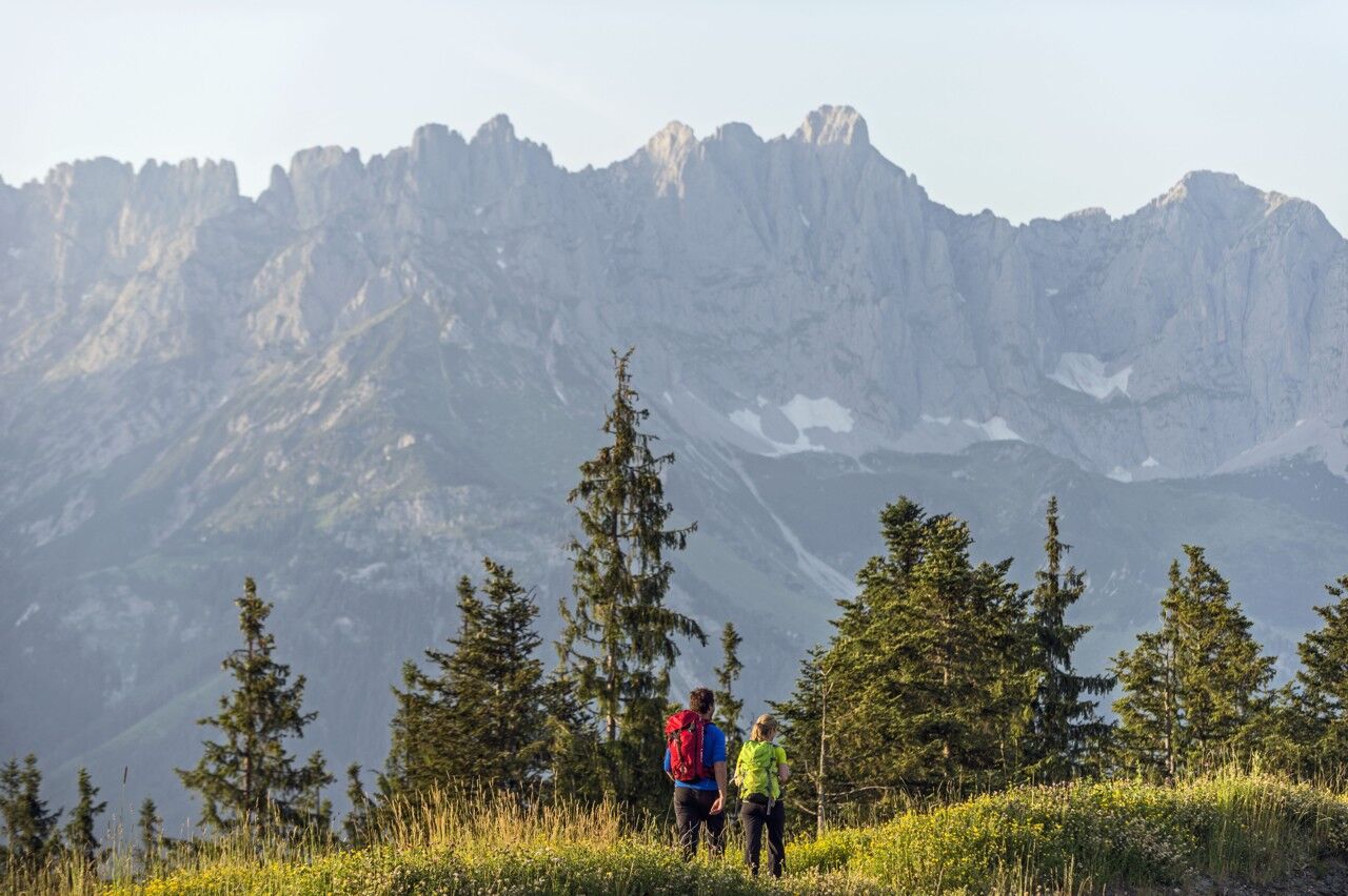
This familyfriendly hike leads you along the panoramic trail from the Brandstadl mountain in Scheffau to the Hartkaiser mountain in Ellmau.
- Moeilijkheid
-
gemakkelijk
- Waardering
-
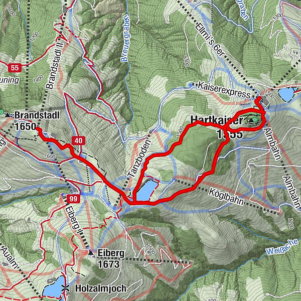
- Route
-
Osthang (1.650 m)0,1 kmBerggasthof Brandstadl0,1 kmTanzbodenalm0,5 kmKlabauterschiff2,5 kmHartkaiser (1.555 m)2,6 kmKaiserexpress (1.531 m)3,1 kmAlmbahn (1.531 m)3,1 kmTanzbodenalm5,3 kmBerggasthof Brandstadl5,7 kmOsthang (1.650 m)5,8 km
- Beste seizoen
-
janfebmrtaprmeijunjulaugsepoktnovdec
- Maximale hoogte
- 1.641 m
- Bestemming
-
Brandstadlbahn mountain station, Scheffau (1,650 m) or Hartkaiserbahn mountain station, Ellmau (1.550 m)
- Hoogteprofiel
-


- Auteur
-
De rondleiding Panoramic circuit Brandstadl–Hartkaiser wordt gebruikt door outdooractive.com op.
GPS Downloads


Algemene info
Verfrissingsstop
Veelbelovend
Meer rondleidingen in de regio's
-
Wilder Kaiser
1945
-
Brixen im Thale
510