© Alpbachtal Tourismus

© Alpbachtal Tourismus

© Alpbachtal Tourismus

© Alpbachtal Tourismus

- Korte beschrijving
-
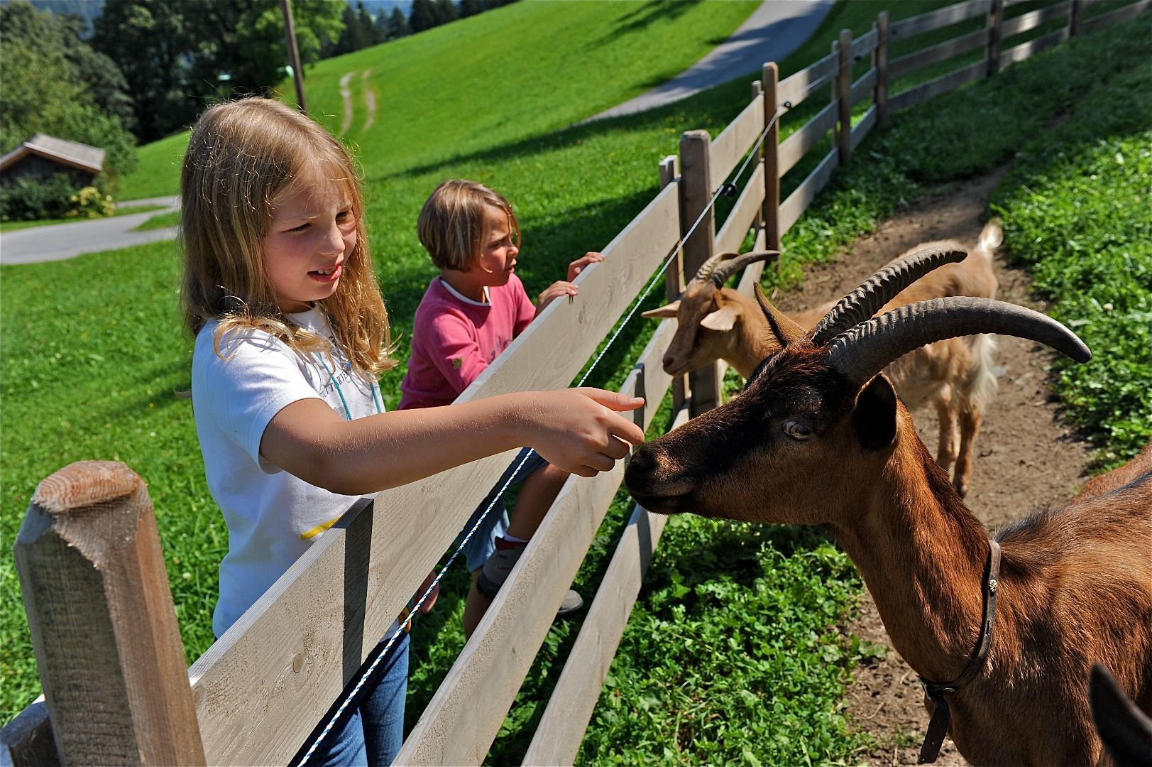
Short hike including stop off highlight
- Moeilijkheid
-
gemakkelijk
- Waardering
-
- Route
-
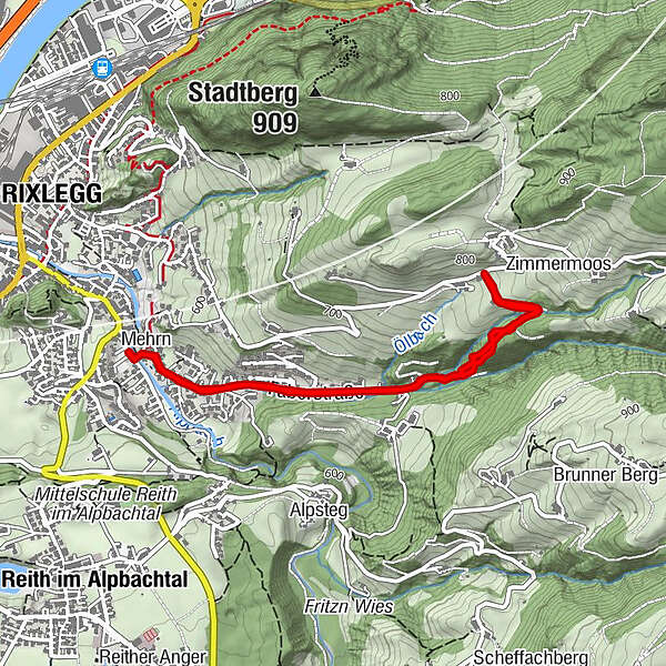
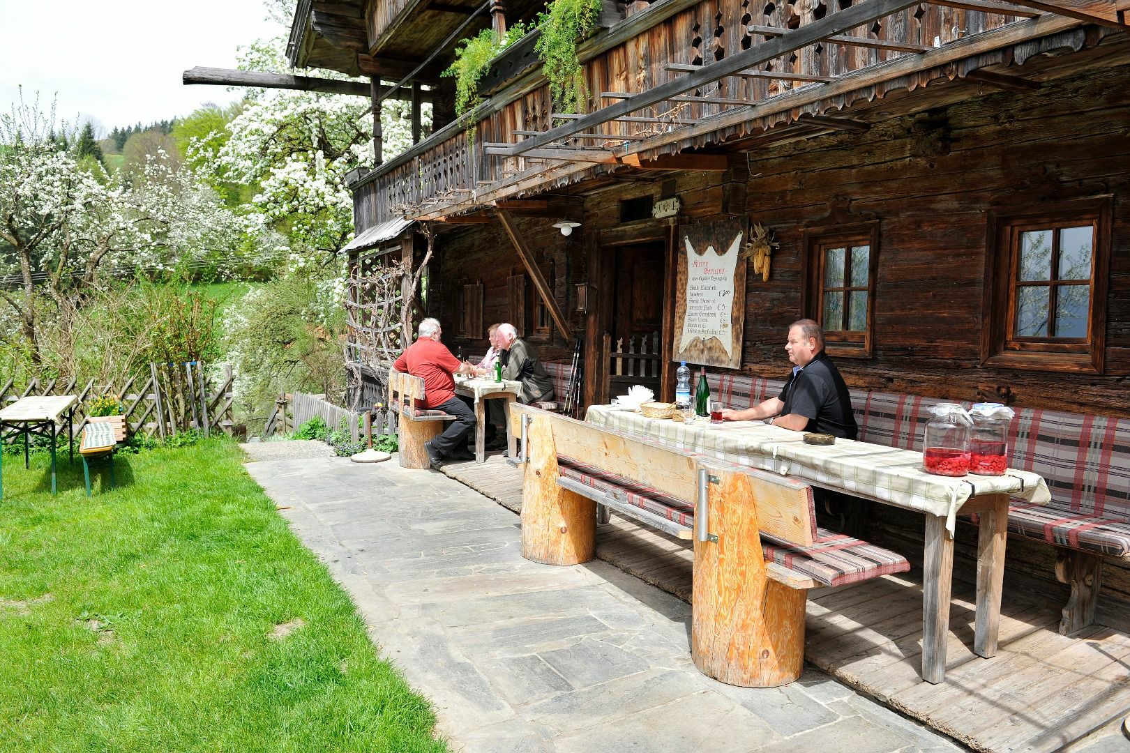
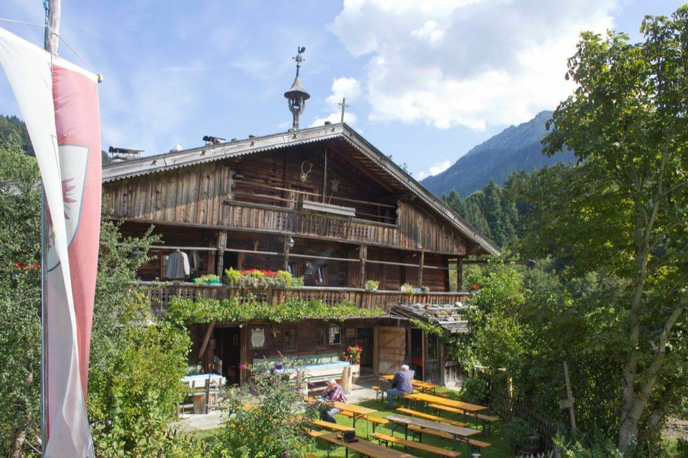
BrixleggKirche Sankt Bartholomäus0,1 kmMehrn (560 m)0,1 kmZimmermoos1,9 kmJausenstation Hechahof2,2 kmMehrn (560 m)4,1 kmKirche Sankt Bartholomäus4,1 kmBrixlegg4,2 km
- Beste seizoen
-
janfebmrtaprmeijunjulaugsepoktnovdec
- Maximale hoogte
- 771 m
- Bestemming
-
Bad Mehrn, Brixlegg
- Hoogteprofiel
-


- Auteur
-
De rondleiding Brixlegg to the Hechahof wordt gebruikt door outdooractive.com op.
GPS Downloads


Meer rondleidingen in de regio's
-
Alpbachtal
1477
-
Reith im Alpbachtal
507