© Alpbachtal - Hannes Sautner Shootandstyle

© Alpbachtal Tourismus - Gabriele Grießenböck

© Alpbachtal - Hannes Sautner Shootandstyle

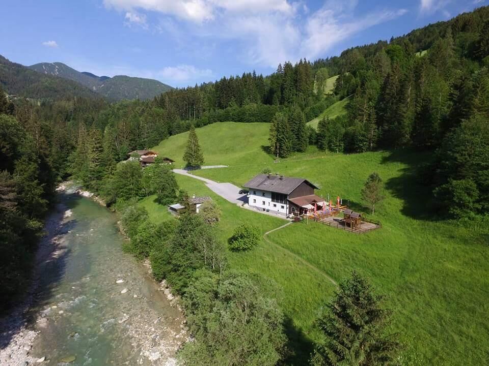
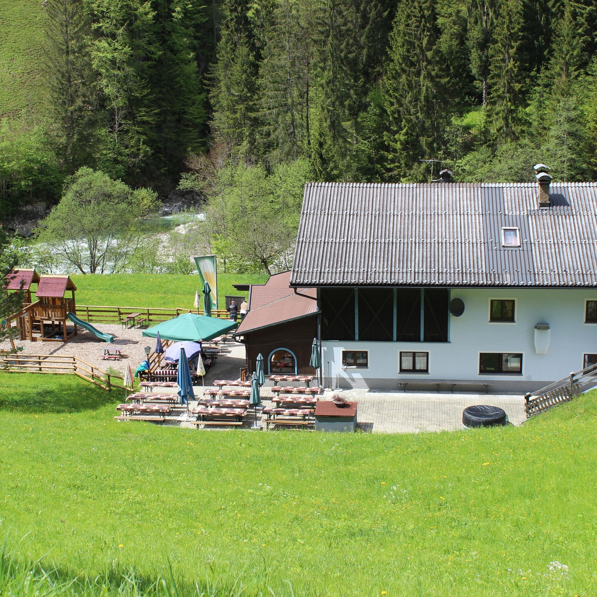
© Jausenstation Tiefenbachklamm

© Alpbachtal Tourismus


© Alpbachtal Tourismus

© Alpbachtal Tourismus

© Alpbachtal Tourismus - Birgit Angermair

© Alpbachtal Tourismus - Birgit Angermair

- Korte beschrijving
-
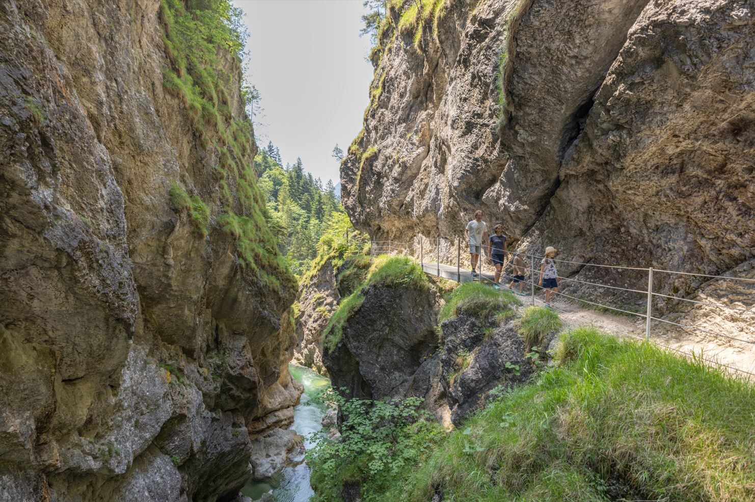
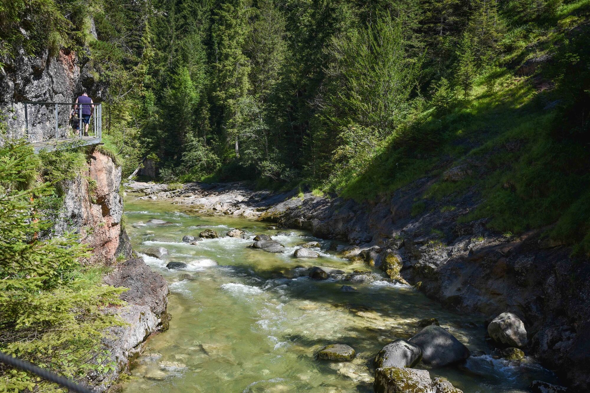
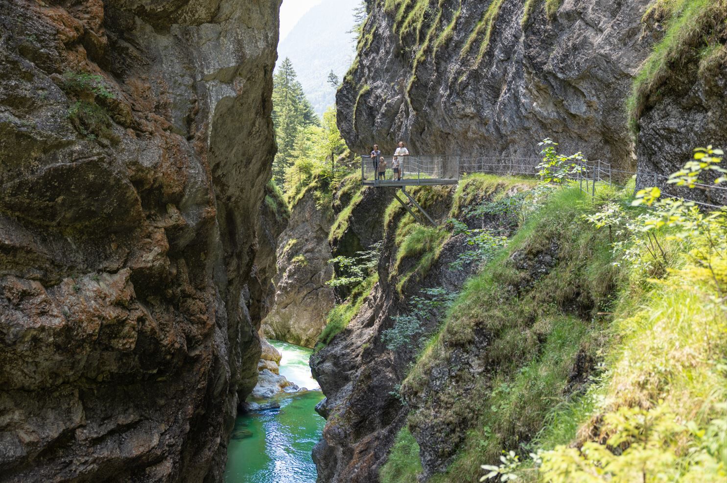
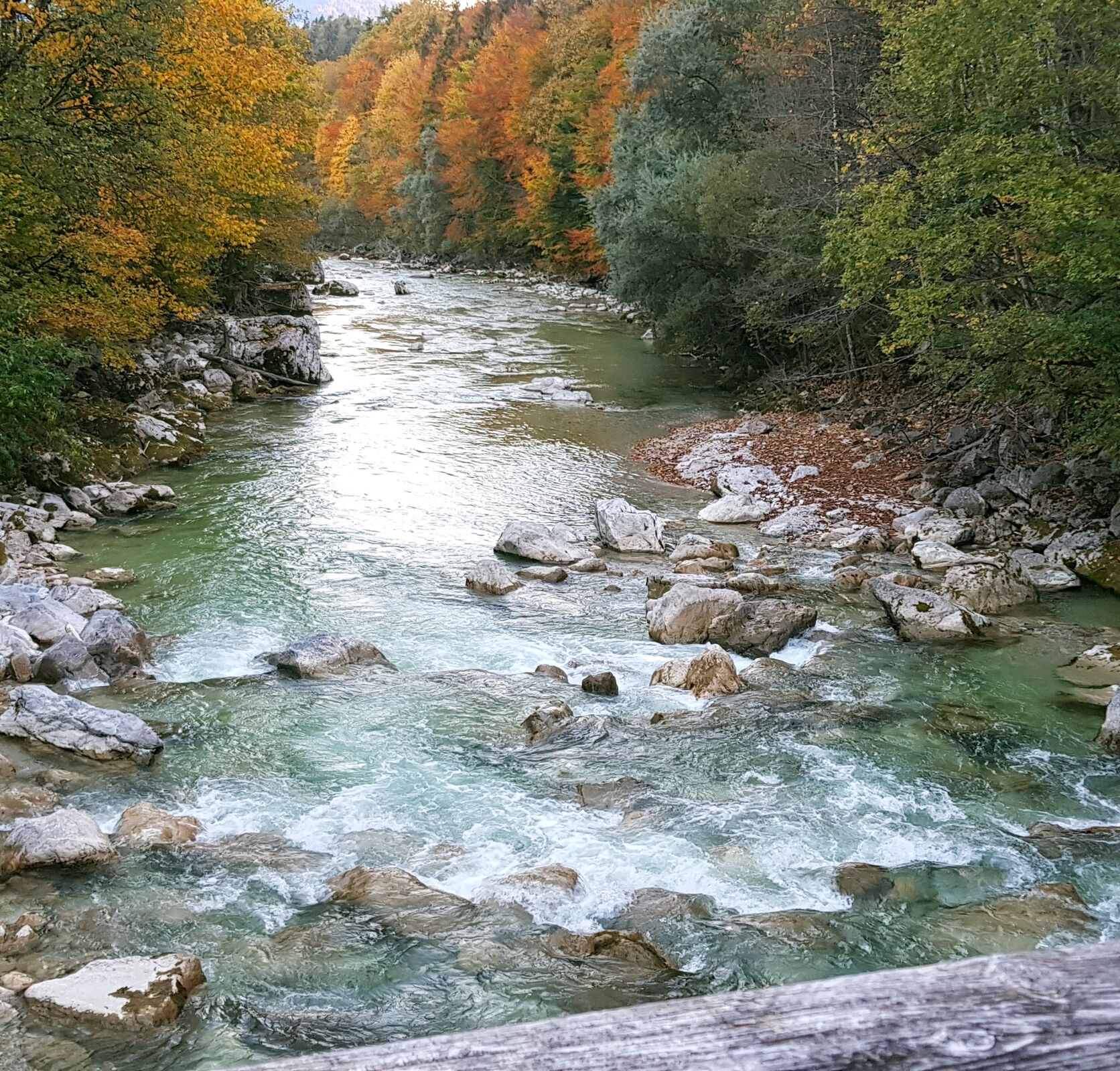
Enjoyable hike through the impressive gorge. The raging waters below you and the steep cliffs next to you are both formative of this natural landscape.
- Moeilijkheid
-
medium
- Waardering
-
- Route
-
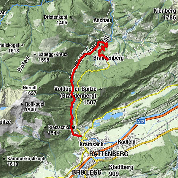
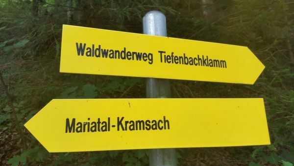
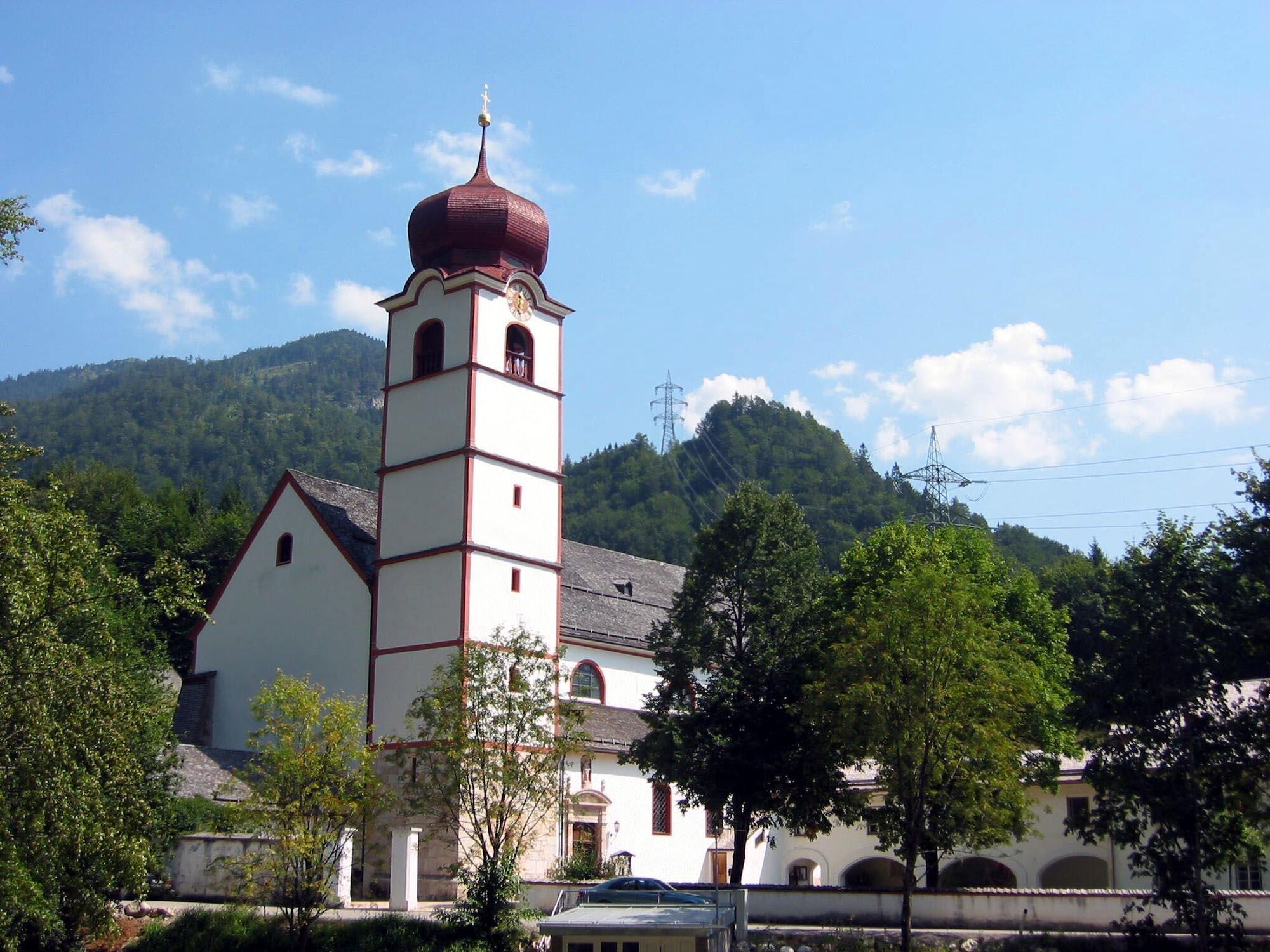
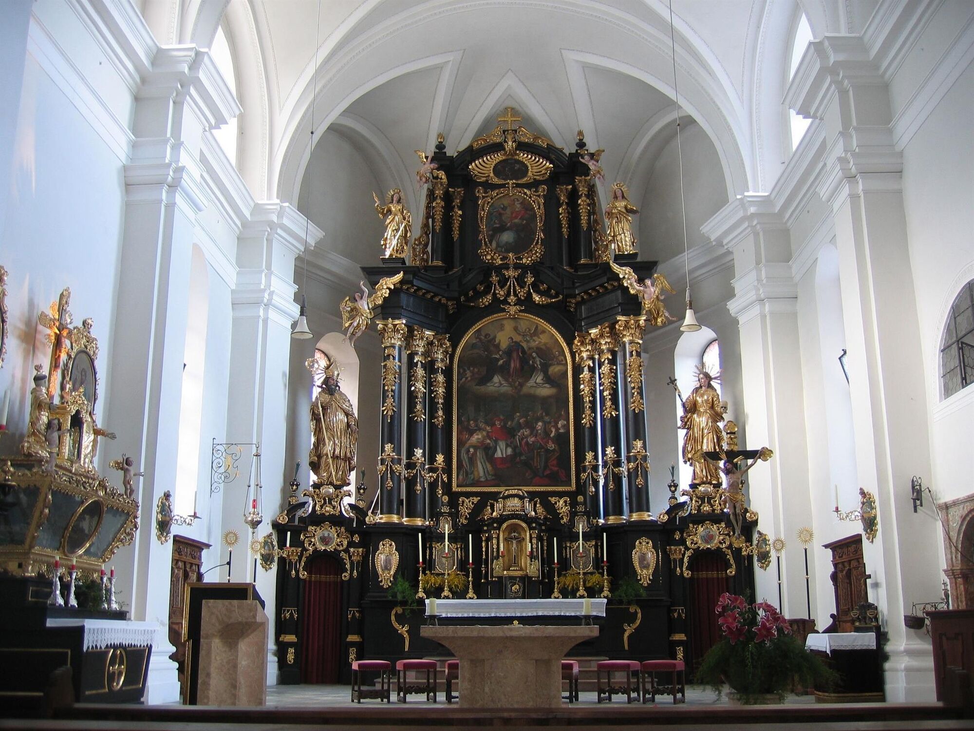
Brandenberg0,0 kmJausenstation Tiefenbachklamm2,3 kmAussichtsplattform Tiefenbachklamm4,3 kmKalvarienbergkapelle8,8 kmWallfahrtskirche (Basilika) Hl.Dominikus zu Mariathal9,0 kmGasthaus Mariathal9,0 kmMariatal (533 m)9,2 kmRadetzkyweg9,4 kmEbnat9,7 km
- Beste seizoen
-
janfebmrtaprmeijunjulaugsepoktnovdec
- Maximale hoogte
- 915 m
- Bestemming
-
Kramsach
- Hoogteprofiel
-

- Auteur
-
De rondleiding Tiefenbach Gorge from Brandenberg wordt gebruikt door outdooractive.com op.
GPS Downloads


Algemene info
Verfrissingsstop
Meer rondleidingen in de regio's
-
Alpbachtal
1501
-
Brandenberg
417