Toerdatums
13,1km
633
- 1.228m
639hm
628hm
05:00h
- Korte beschrijving
-
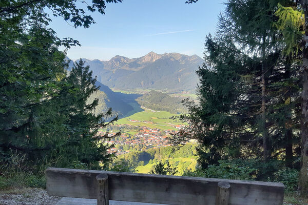
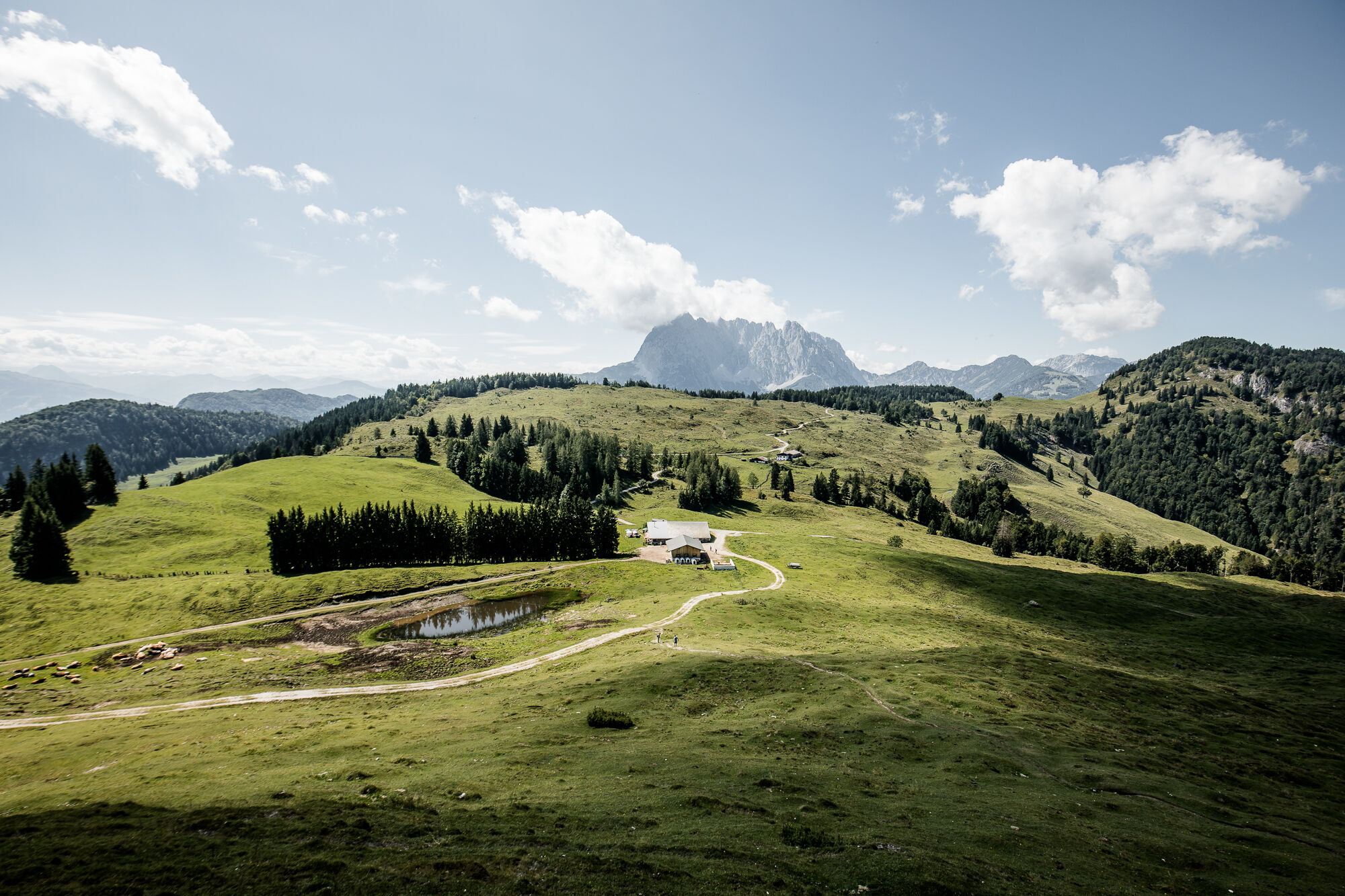
Gemütliche Wanderung und reizvolle Landschaft
- Moeilijkheid
-
medium
- Waardering
-
- Startpunt
-
Ortszentrum Kirchdorf
- Route
-
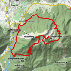
PfarrkircheKirchdorf in TirolWeng2,0 kmProstalm5,9 kmHinterberg8,8 kmKapelle von Faulern8,9 kmUnteranger11,5 kmKirchdorf in Tirol13,0 kmPfarrkirche13,0 km
- Beste seizoen
-
janfebmrtaprmeijunjulaugsepoktnovdec
- Maximale hoogte
- 1.228 m
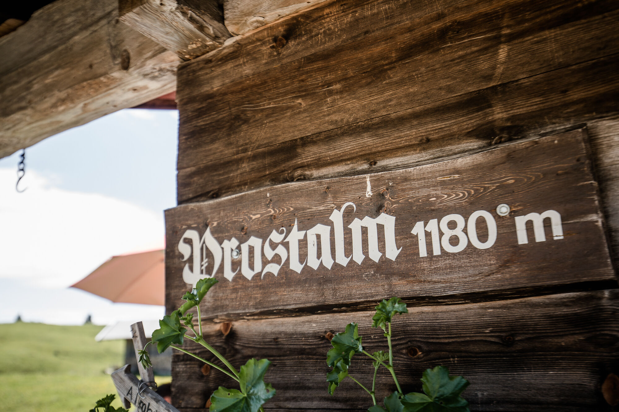
- Rust/Retraite
-
Prostalm
- Kaartmateriaal
-
Erhältlich in den Infobüros St. Johann in Tirol - Oberndorf - Kirchdorf
- Info telefoon
-
Tourismusverband Kitzbüheler Alpen St. Johann in Tirol +43 (0)5352 63335-0
- Link
- http://www.kitzbueheler-alpen.com/de/st-johann
- Bron
- Tourismusverband Kitzbüheler Alpen St. Johann in Tirol
GPS Downloads


Condities van het pad
Asfalt
Steenslag
Weide
Bos
Rots
Moeilijk
Meer rondleidingen in de regio's