


- Korte beschrijving
-
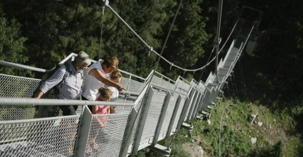
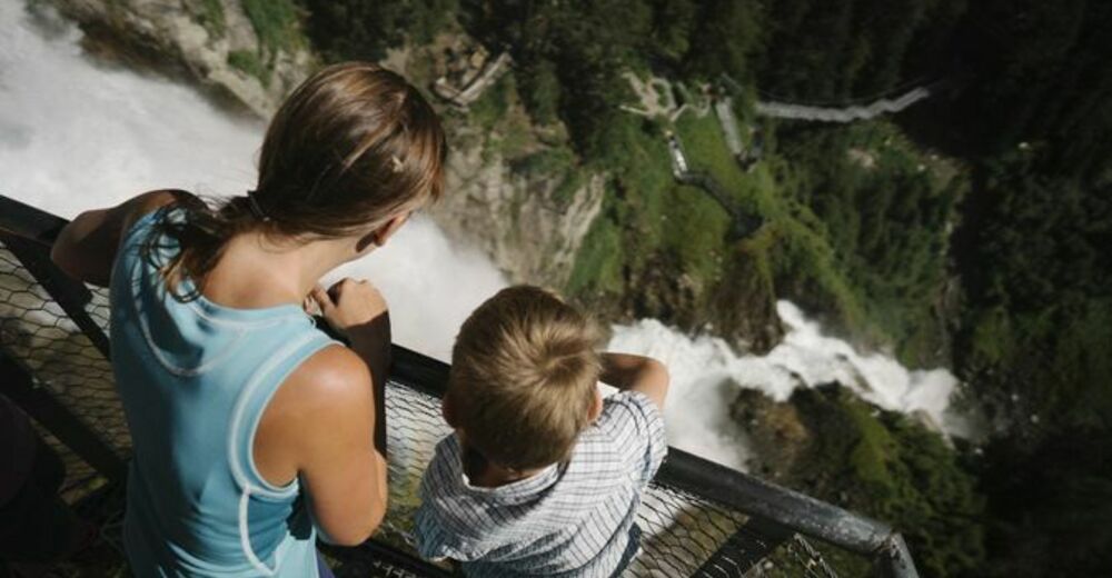
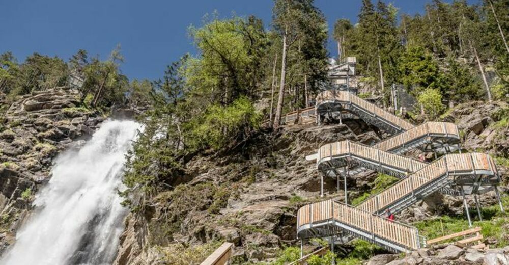
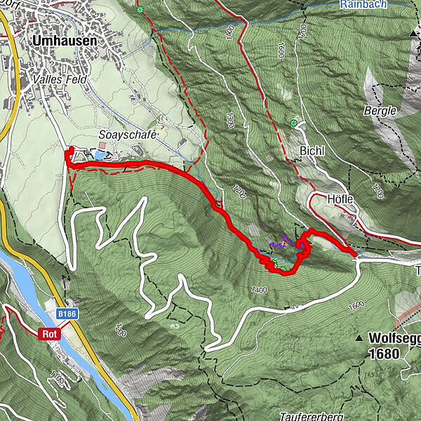
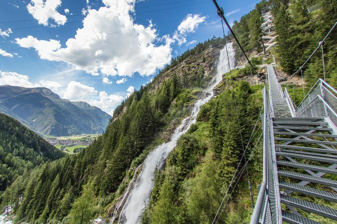
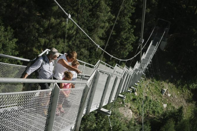
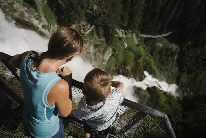
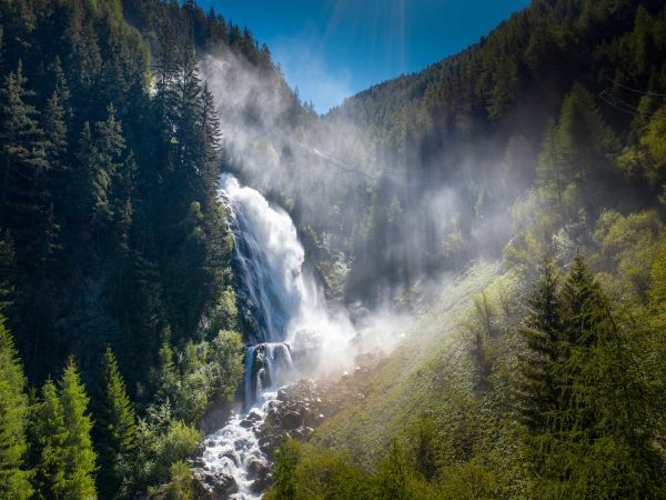
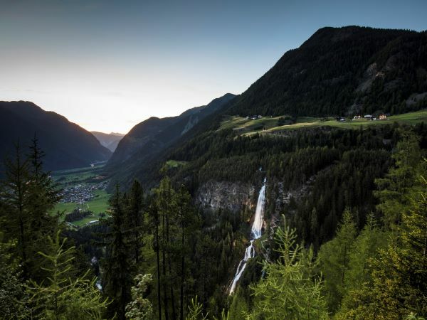
UMHAUSEN -> car park Bischoffsplatz -> Waldcafé Stuböbele -> Gasthof STUIBENFALL
- Moeilijkheid
-
gemakkelijk
- Waardering
-
- Route
-
Stuibenfall Platform 11,7 kmStuibenfall Platform 32,1 kmStuibenfall2,4 kmStuibenfall Platform 52,4 kmHöfle2,7 kmMühlkapelle2,8 kmGasthof Stuibenfall2,9 km
- Beste seizoen
-
janfebmrtaprmeijunjulaugsepoktnovdec
- Maximale hoogte
- 1.478 m
- Bestemming
-
Gasthof Stuibenfall
- Hoogteprofiel
-


- Auteur
-
De rondleiding Stuibenfall hike - Umhausen wordt gebruikt door outdooractive.com op.
GPS Downloads


Algemene info
Verfrissingsstop
Helende klimaat
Veelbelovend
Meer rondleidingen in de regio's
-
Ötztal
1107
-
Umhausen im Ötztal
401


