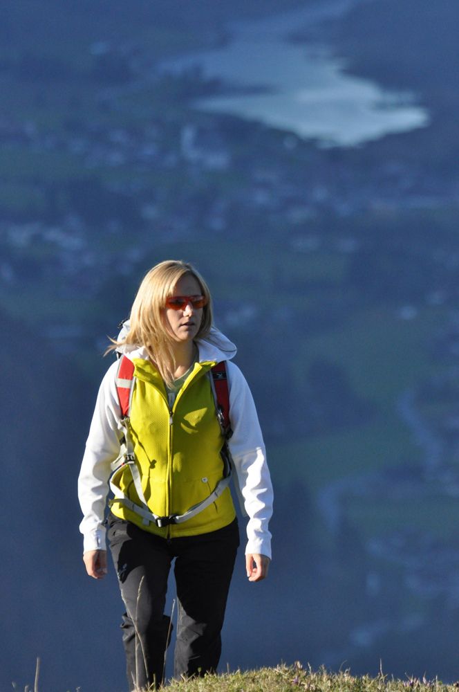
© Free image for editorial usage only: Photo by Andreas Langreiter for Global Newsroom - Andreas Langreiter

© Free image for editorial usage only: Photo by Andreas Langreiter for Global Newsroom - Andreas Langreiter

© Free image for editorial usage only: Photo by Andreas Langreiter for Global Newsroom - Andreas Langreiter

© Free image for editorial usage only: Photo by Andreas Langreiter for Global Newsroom - Andreas Langreiter


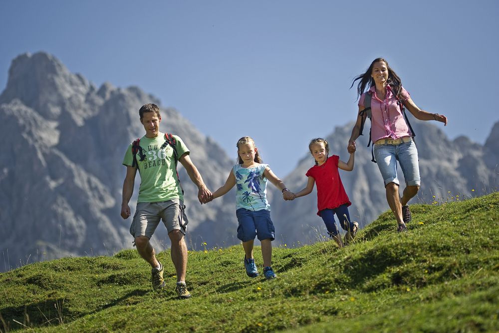
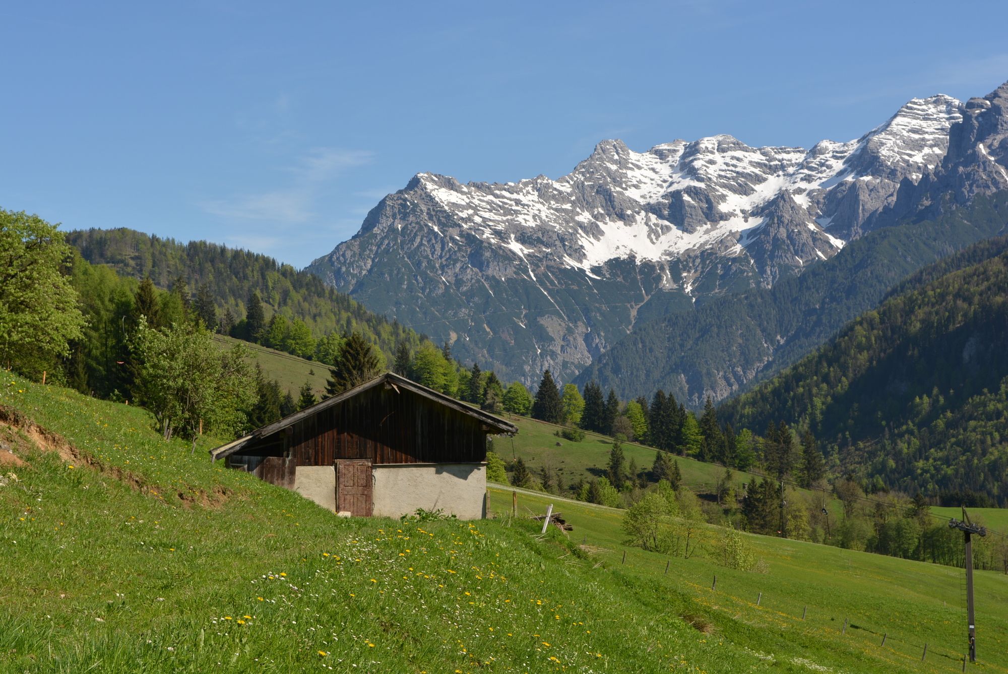
© Free image for editorial usage only: Photo by Joerg Mitter for Global Newsroom - Joerg Mitter

© Free image for editorial usage only: Photo by Joerg Mitter for Global Newsroom - Joerg Mitter

© Free image for editorial usage only: Photo by Joerg Mitter for Global Newsroom - Joerg Mitter

© Free image for editorial usage only: Photo by Joerg Mitter for Global Newsroom - Joerg Mitter

© Free image for editorial usage only: Photo by Joerg Mitter for Global Newsroom - Joerg Mitter
Toerdatums
3,2km
954
- 1.456m
517hm
02:15h
- Korte beschrijving
-
Eine wunderschöne Wanderung auf die Buchensteinwand
- Moeilijkheid
-
medium
- Waardering
-
- Startpunt
-
Liftparkplatz in Hochfilzen / Warming
Parkplatz ist kostenlos - Route
-
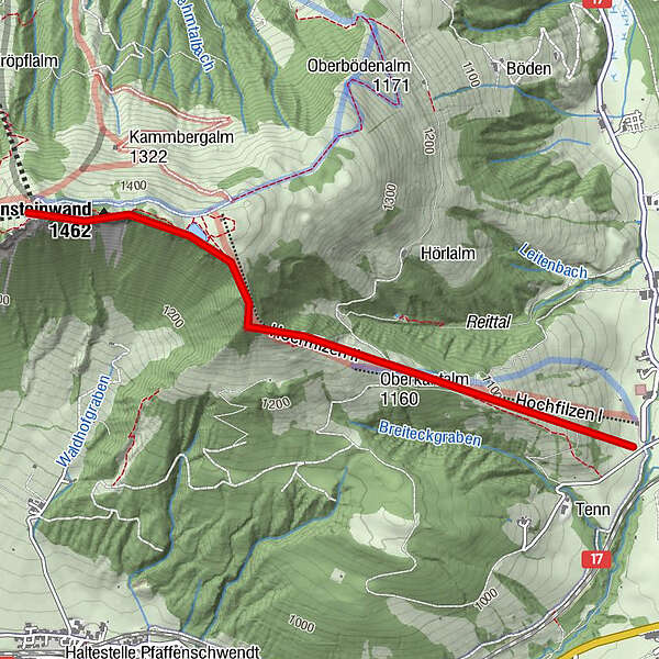
Hoametzl Hütte0,1 kmHochfilzenlift 22,0 kmBuchensteinwand (1.462 m)3,2 kmPanoramabahn3,5 kmAlpengasthof Buchensteinwand3,5 km
- Maximale hoogte
- 1.456 m
- Rust/Retraite
-
Hoametzlhütte, Berggasthof Buchensteinwand
- Kaartmateriaal
-
in allen Tourismusverbänden im Pillerseetal


- Info telefoon
-
+43 (0)5354 / 56304
- Link
- https://maps.pillerseetal.at/#resourceDetail,13...
GPS Downloads


Condities van het pad
Asfalt
Steenslag
Weide
Bos
Rots
Moeilijk
Meer rondleidingen in de regio's
-
Pillerseetal
1767
-
Hochfilzen
410