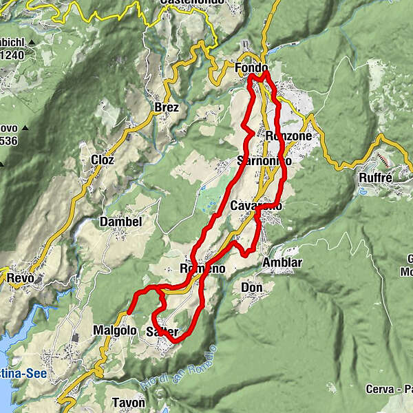
The Upper Val di Non Cycle and Foot Path

Lange afstand fietsroute


Toerdatums
20,31km
850
- 1.052m
333hm
277hm
02:30h
- Korte beschrijving
-
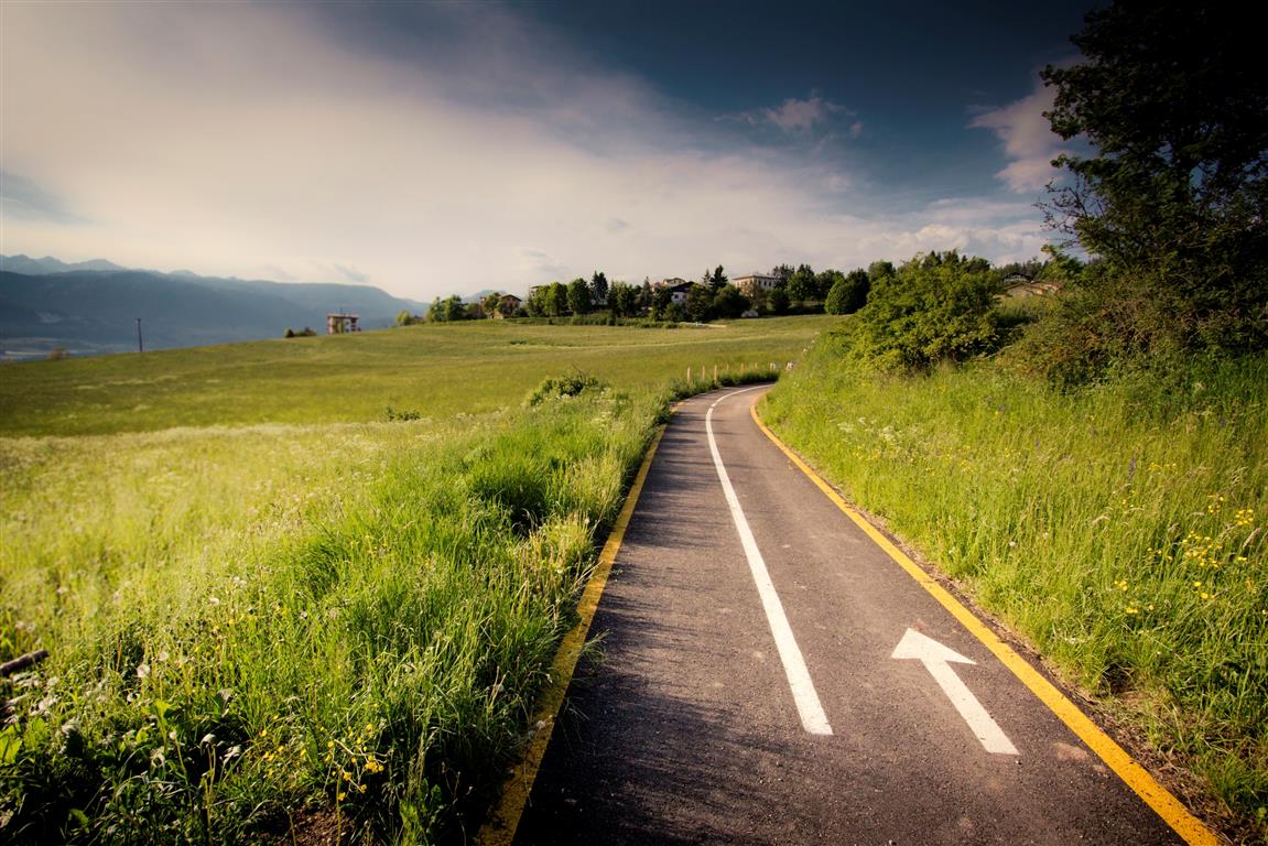
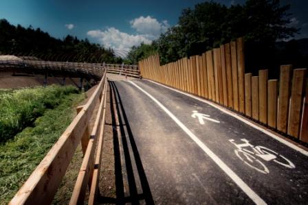
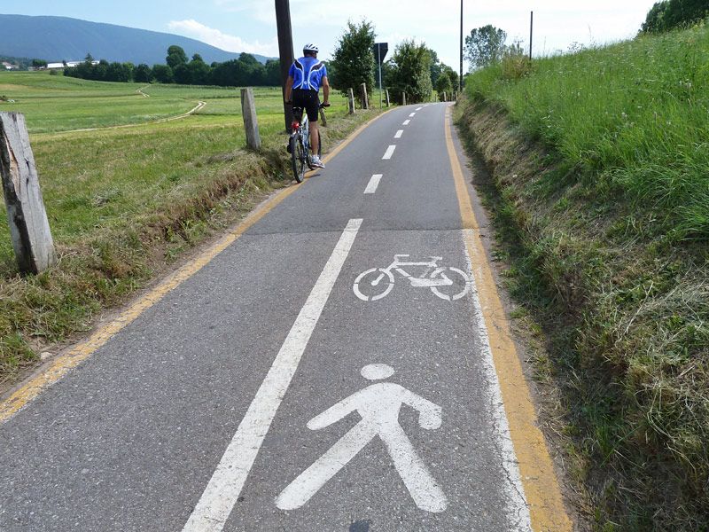
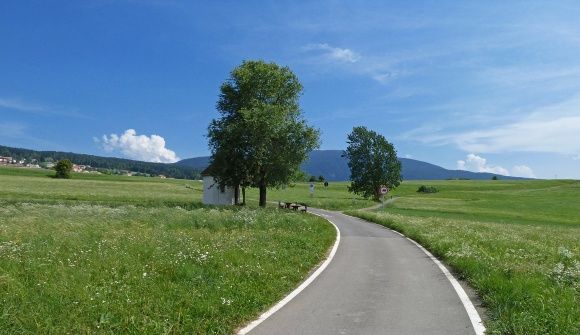
La Val di Non accoglie gli amanti delle due ruote con un tracciato tra paesaggi incantevoli
- Moeilijkheid
-
gemakkelijk
- Waardering
-
- Route
-
Salter2,6 kmCorzuel4,3 kmChiesa di Santa Maria Assunta5,2 kmRomeno5,2 kmChiesa di Sant’Antonio Abate5,5 kmCavareno8,3 kmSanta Maria Maddalena8,4 kmSarnonico10,2 kmSan Antonio10,5 kmRonzone10,6 kmSanta Tecla12,2 kmMalosco12,3 kmLa Cantinota13,1 kmFondo13,2 kmSarnonico15,6 kmRomeno18,9 km
- Beste seizoen
-
janfebmrtaprmeijunjulaugsepoktnovdec
- Maximale hoogte
- 1.052 m
- Bestemming
-
Malgolo
- Hoogteprofiel
-
 © outdooractive.com

- Auteur
-
De rondleiding The Upper Val di Non Cycle and Foot Path wordt gebruikt door outdooractive.com op.
GPS Downloads


Algemene info
Verfrissingsstop
Tip voor insiders
Meer rondleidingen in de regio's