© Garda Trentino - Archivio Garda Trentino (ph. Tommaso Prugnola)

© Garda Trentino - Archivio Garda Trentino (ph. Watchsome)

© Garda Trentino - Archivio Garda Trentino (ph. Tommaso Prugnola)

© Garda Trentino - Archivio Garda Trentino (ph. Watchsome)

© Garda Trentino - Archivio Garda Trentino (ph. Watchsome)

© North Lake Garda Trentino - Archivio Garda Trentino (ph. Vuilleumier)

© North Lake Garda Trentino - Archivio Garda Trentino (ph. Marco Giacomello)

- Korte beschrijving
-
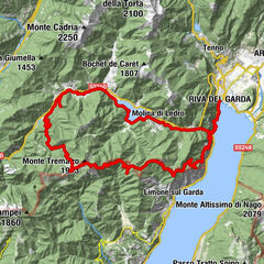
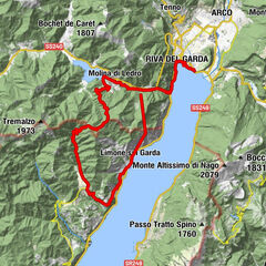
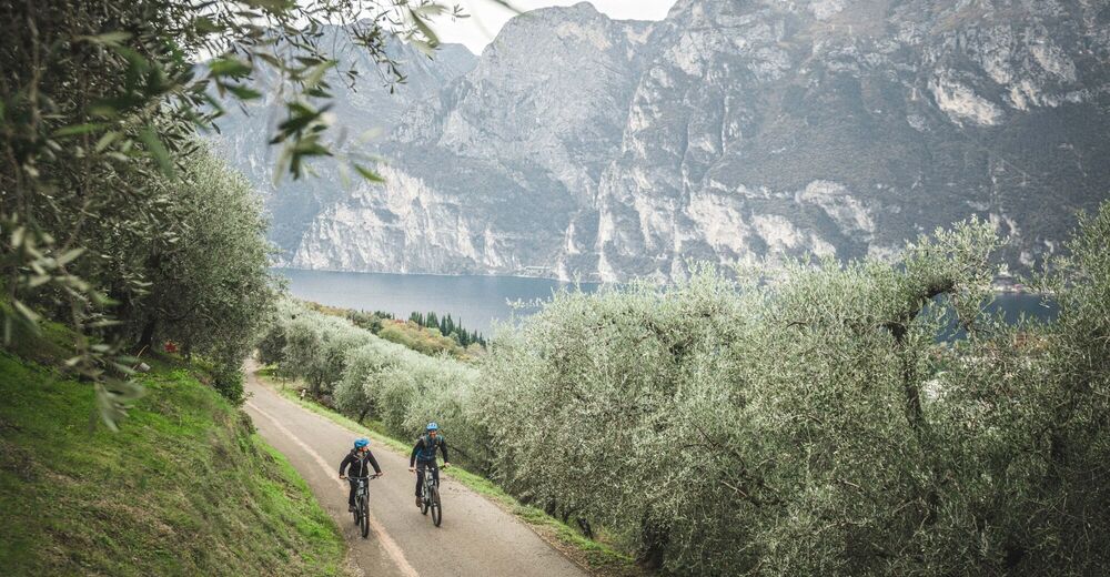
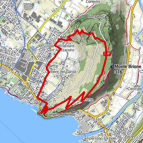
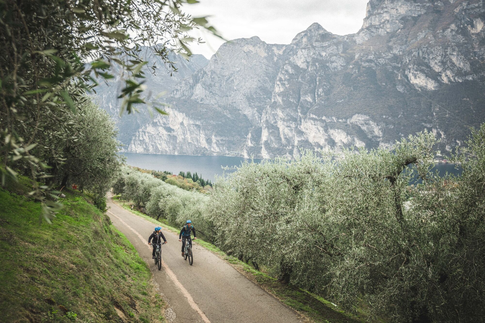
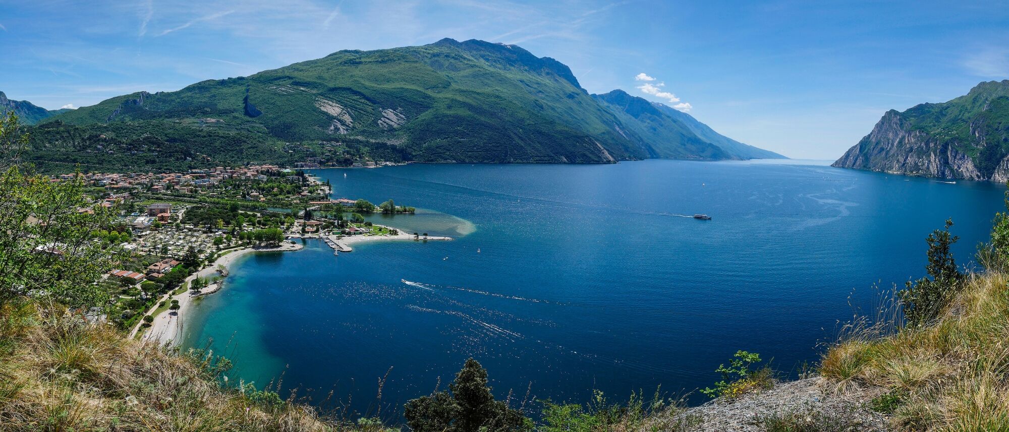
From any point of Alto Garda you can see the hill of Monte Brione in the centre of the valley. It makes for a lovely walk, but here we tell you how to visit on two wheels!
- Moeilijkheid
-
medium
- Waardering
-
- Route
-
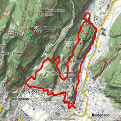
Sant'Alessandro4,6 kmchiesa di Sant'Alessandro4,6 kmColombera5,0 kmSanti Pietro e Paolo5,3 kmRiva del Garda6,0 km
- Beste seizoen
-
janfebmrtaprmeijunjulaugsepoktnovdec
- Maximale hoogte
- 306 m
- Bestemming
-
Monte Brione
- Hoogteprofiel
-
 © outdooractive.com


-
-
AuteurDe rondleiding Monte Brione Trail-Tour wordt gebruikt door outdooractive.com op.
GPS Downloads


Algemene info
Flora
Veelbelovend
Meer rondleidingen in de regio's