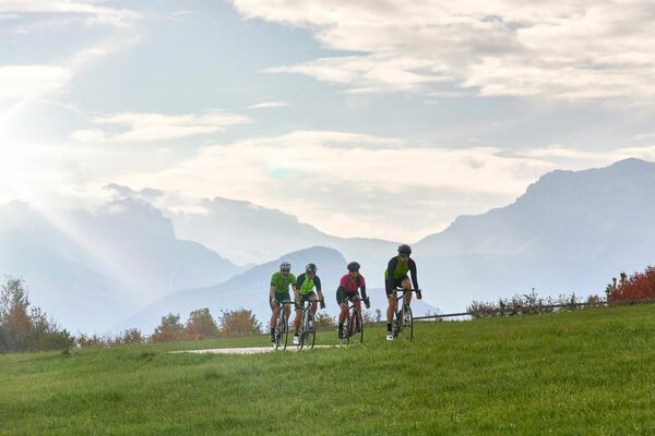
© VisitTrentino - Redazione Visittrentino
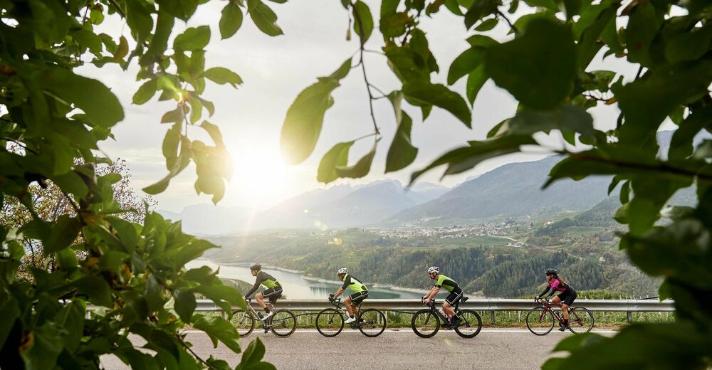
© VisitTrentino - Laura Tabarelli
© VisitTrentino - Redazione Visittrentino
© VisitTrentino - Redazione Visittrentino
© VisitTrentino - Redazione Visittrentino
Toerdatums
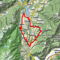
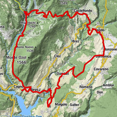
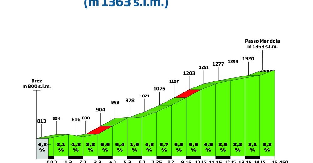
15,05km
801
- 1.364m
620hm
75hm
01:18h

- Korte beschrijving
-
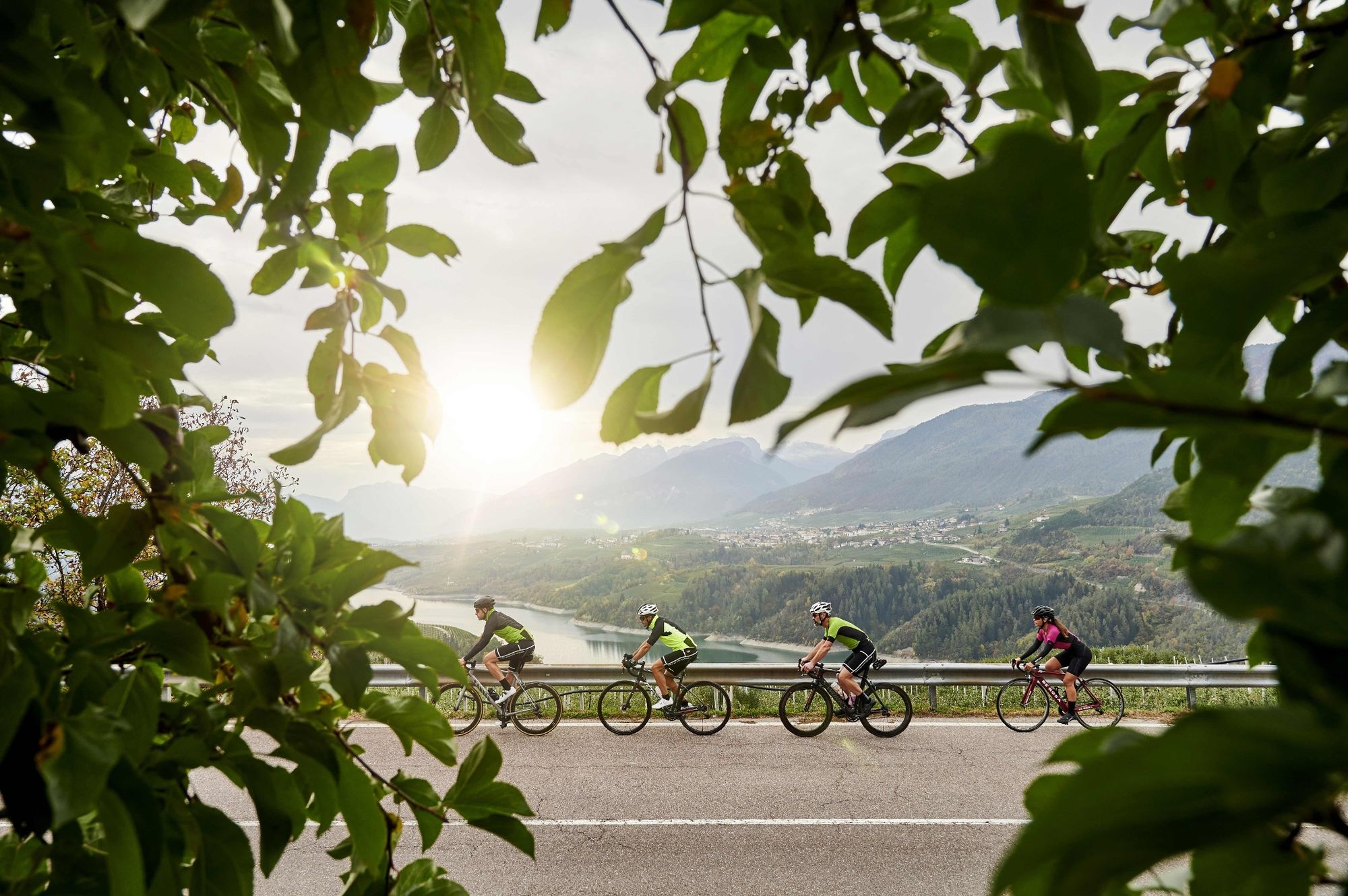
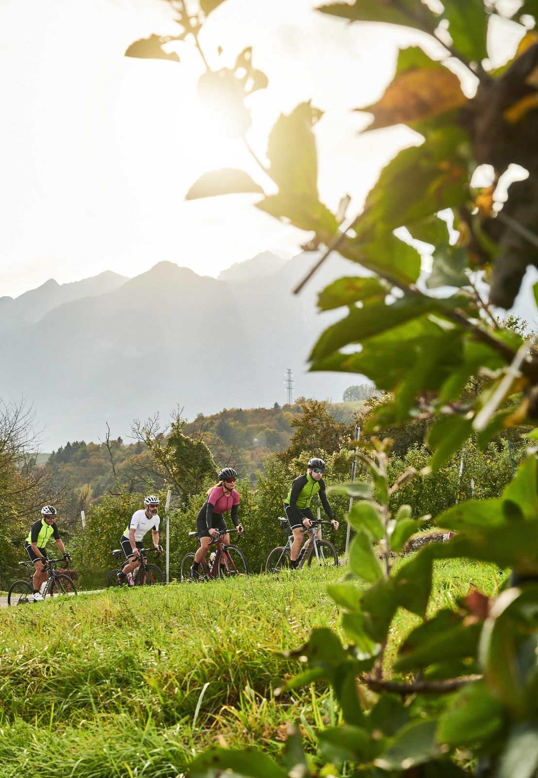
A route the young world champion Maurizio Fondriest used to climb frequently, the road that leads to Monte Penegal is not to be underestimated.
- Moeilijkheid
-
medium
- Waardering
-
- Route
-
BrezFondo5,2 kmLa Cantinota5,4 kmMalosco6,8 kmHotel Villa Argentina Ronzone8,4 kmOrso Grigio9,1 kmHotel Waldheim10,6 kmParadiso12,0 kmChiesetta13,2 kmVillini dell'Alpe13,2 kmMendel14,8 kmDolomiti14,8 km
- Beste seizoen
-
janfebmrtaprmeijunjulaugsepoktnovdec
- Maximale hoogte
- 1.364 m
- Bestemming
-
Passo Mendola
- Hoogteprofiel
-
 © outdooractive.com


- Auteur
-
De rondleiding Passo Mendola wordt gebruikt door outdooractive.com op.
GPS Downloads


Meer rondleidingen in de regio's