© Garda Trentino - Stefania Oradini

© Garda Trentino - Bruno Ferrari

© Garda Trentino - Staff Outdoor Garda Trentino AC

© Garda Trentino - Staff Outdoor Garda Trentino AC

© Garda Trentino - Staff Outdoor Garda Trentino AC

© Garda Trentino - Staff Outdoor Garda Trentino AC

- Korte beschrijving
-
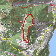
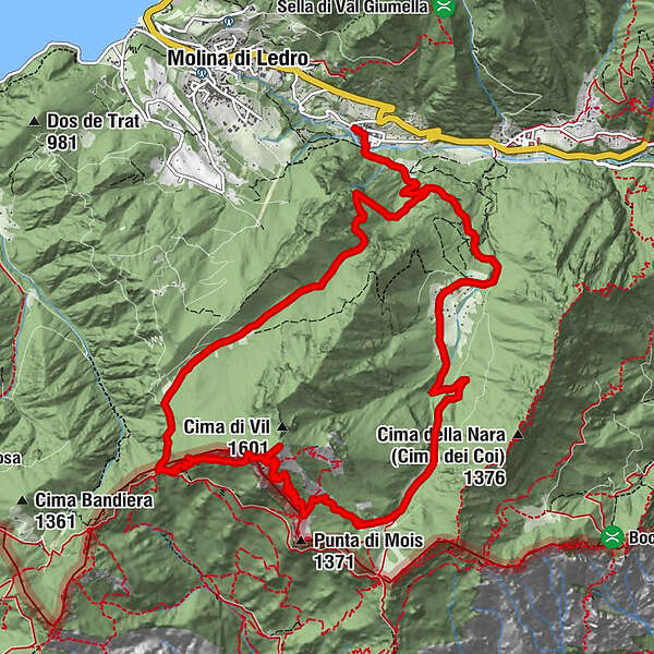
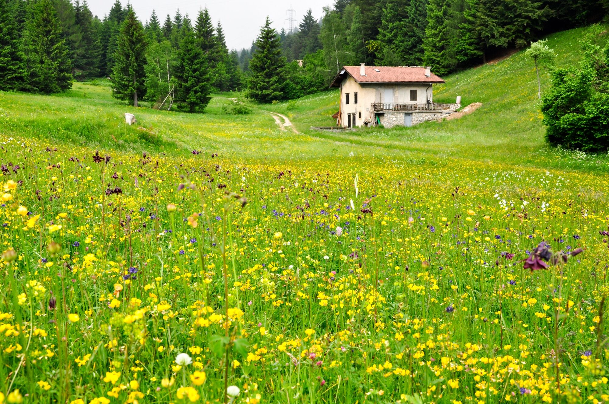
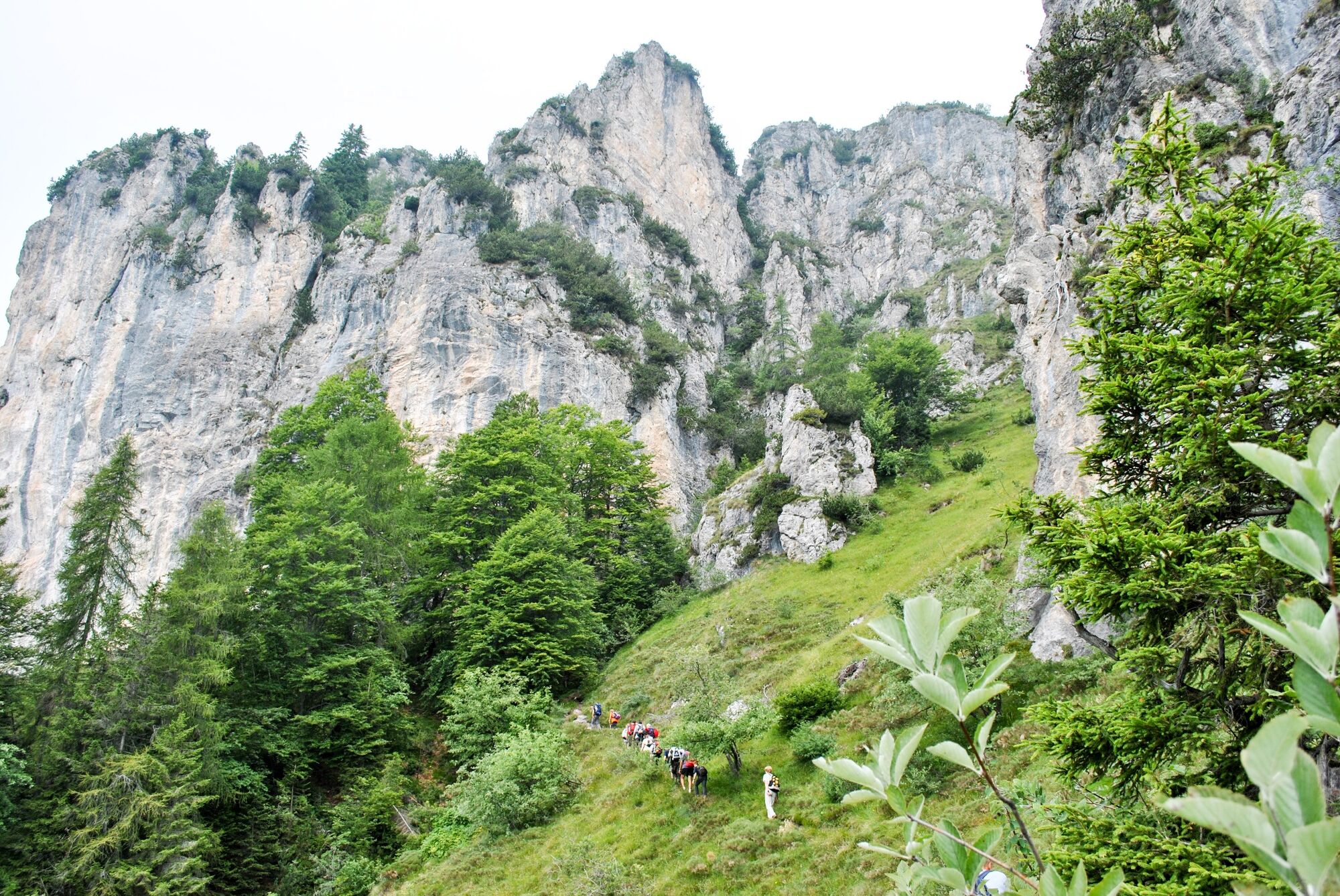
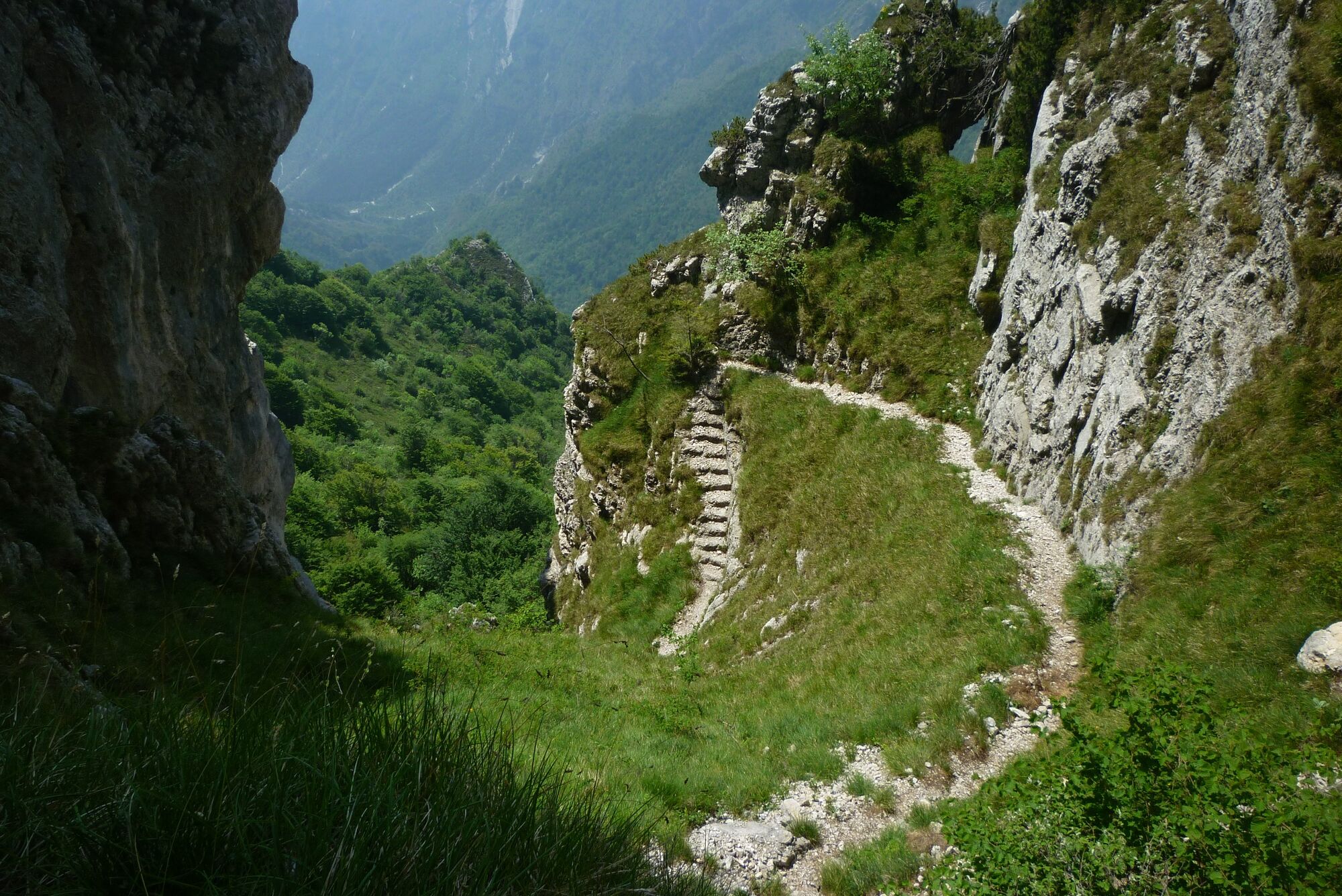
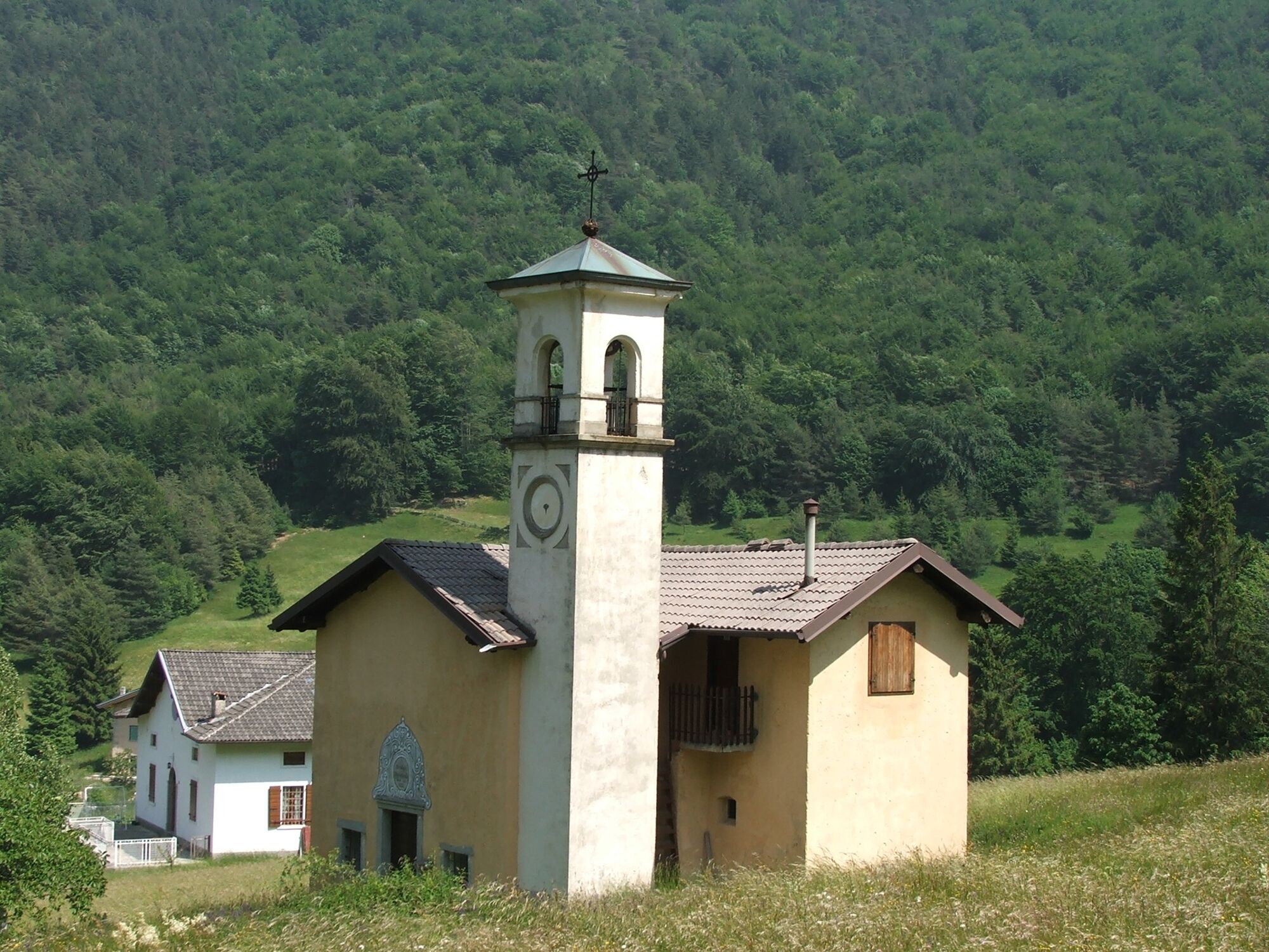
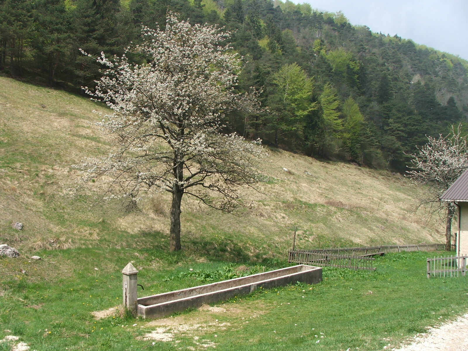
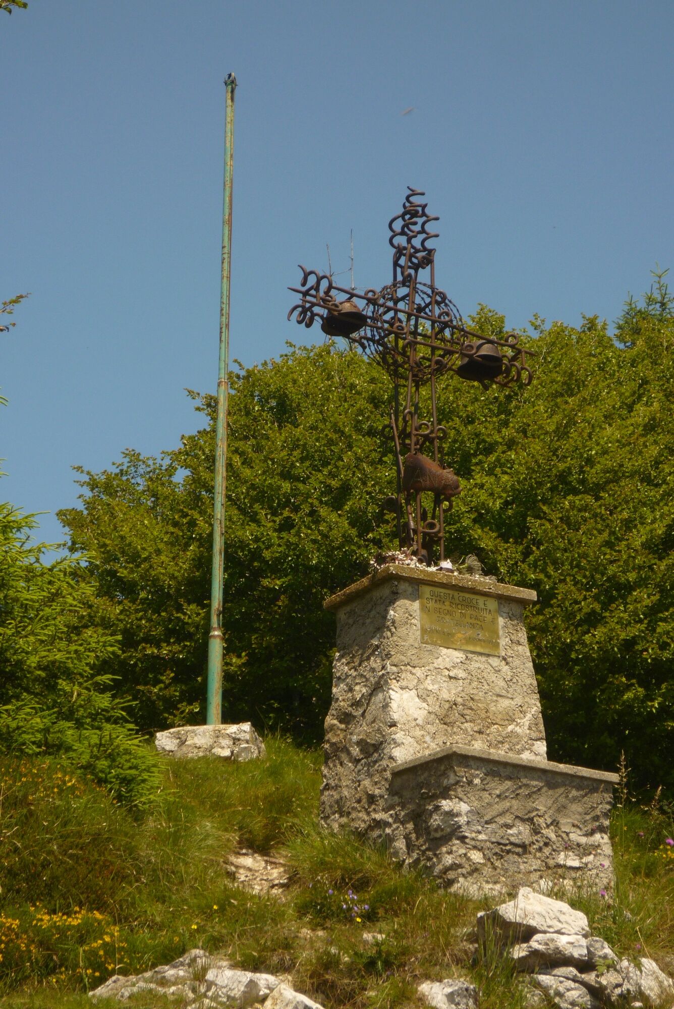
Circular route that runs along the border between Trentino and Lombardy, once the last frontier of the Habsburg Empire, as is testified by the military fortifications that are to be seen along the way.
- Moeilijkheid
-
zwaar
- Waardering
-
- Route
-
chiesa di San Giacomo Maggiore0,0 kmPrè di Ledro0,1 kmMonte Carone (1.621 m)7,0 kmLeano (888 m)11,8 kmChiesa di Sant'Antonio11,8 kmPrè di Ledro14,7 kmchiesa di San Giacomo Maggiore14,8 km
- Beste seizoen
-
janfebmrtaprmeijunjulaugsepoktnovdec
- Maximale hoogte
- 1.611 m
- Bestemming
-
Monte Carone
- Hoogteprofiel
-
 © outdooractive.com
-

-
AuteurDe rondleiding Monte Carone wordt gebruikt door outdooractive.com op.
GPS Downloads


Algemene info
Verfrissingsstop
Cultureel/Historisch
Veelbelovend
Meer rondleidingen in de regio's
-
Gardasee / Lombardei
433
-
Valle di Ledro
562
-
Prè di Ledro
283