© Garda Trentino - Staff Outdoor Garda Trentino AC

© Garda Trentino - Staff Outdoor Garda Trentino AC

© Garda Trentino - Staff Outdoor Garda Trentino AC

© Garda Trentino - Achille Pasi

© Garda Trentino - Ludovica Trentini

© Garda Trentino - Ludovica Trentini

© Garda Trentino - Ludovica Trentini

© Garda Trentino - Ludovica Trentini

© Garda Trentino - Ludovica Trentini

- Korte beschrijving
-
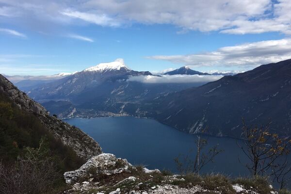
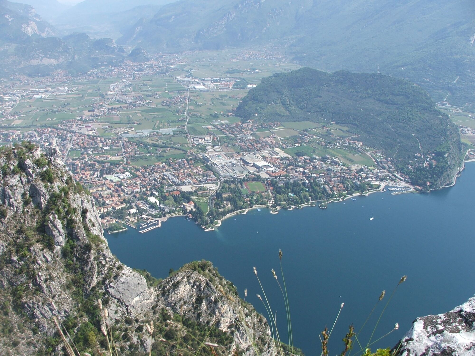
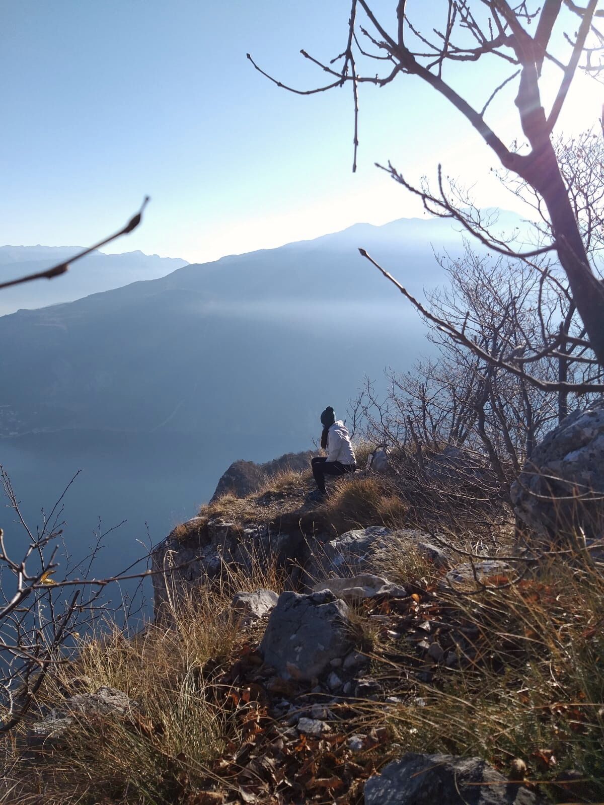
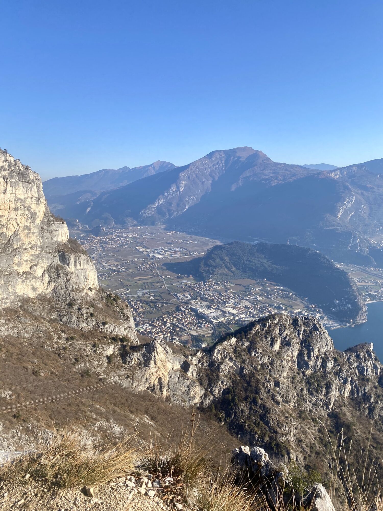
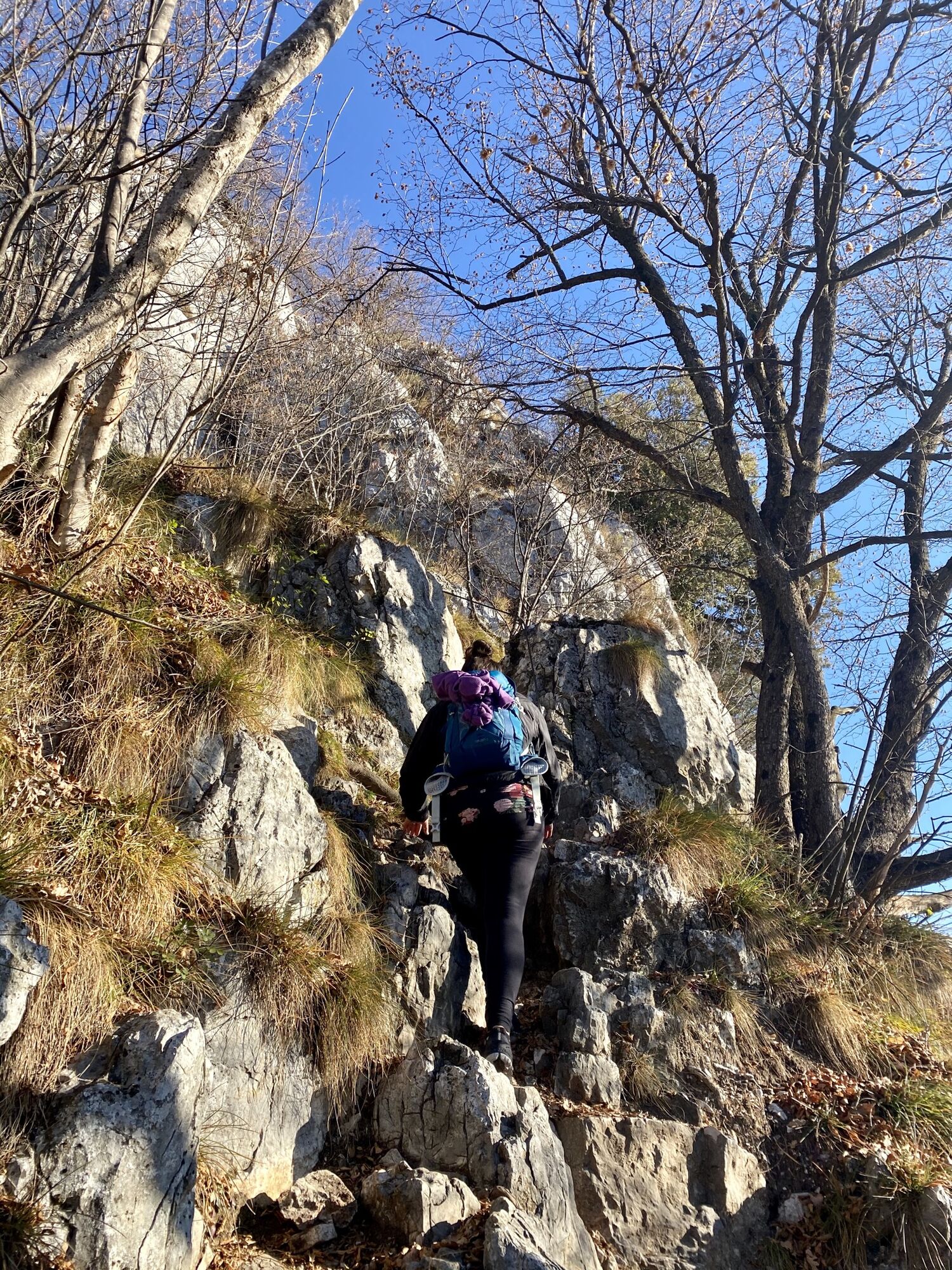
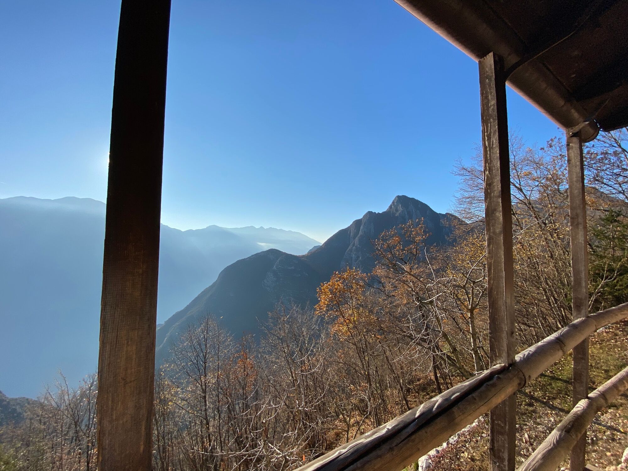
Trek for hikers with experience along the side of the Ledro Alps facing Lake Garda.
- Moeilijkheid
-
medium
- Waardering
-
- Route
-
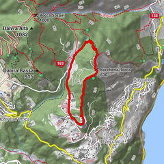
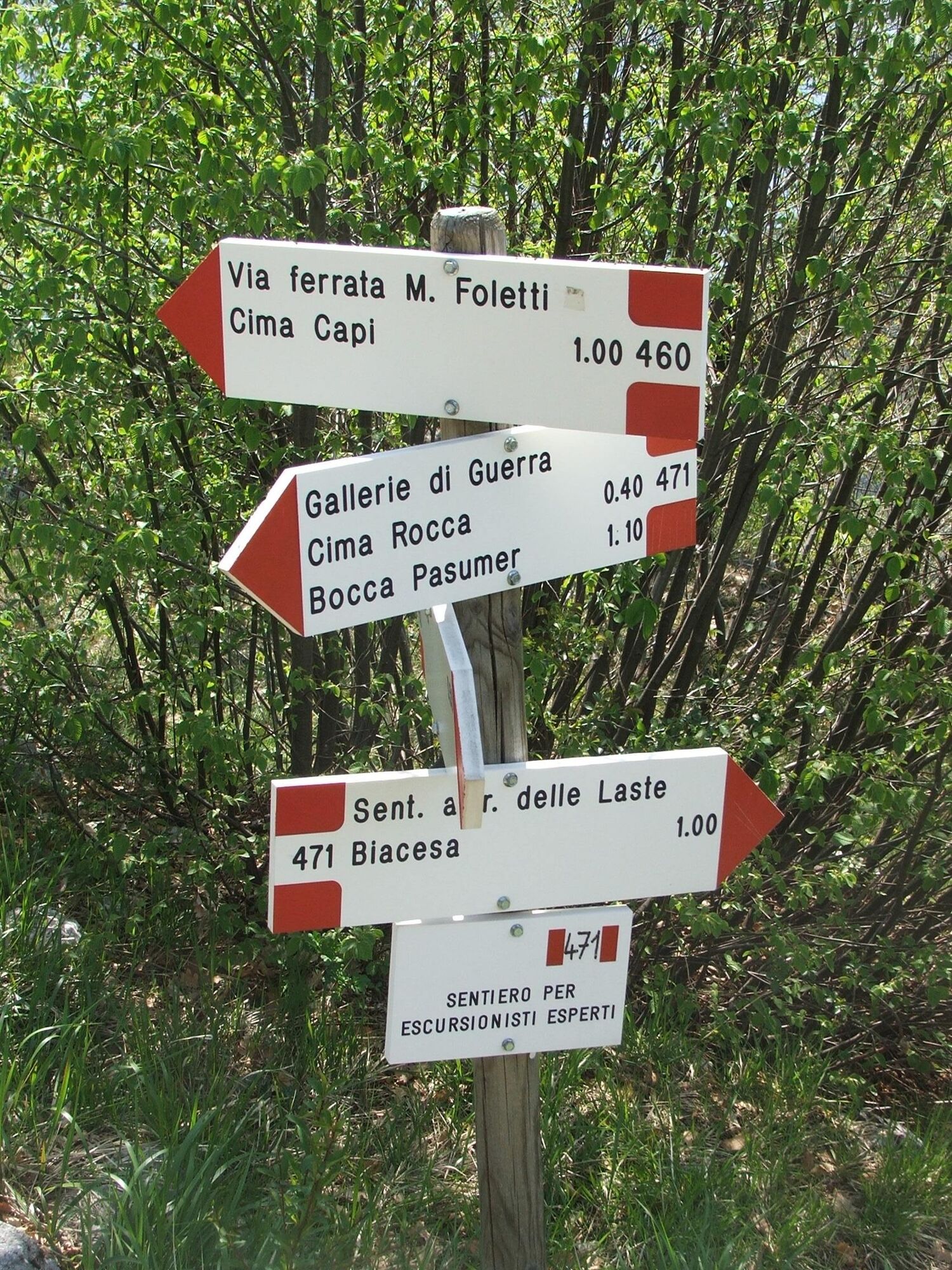
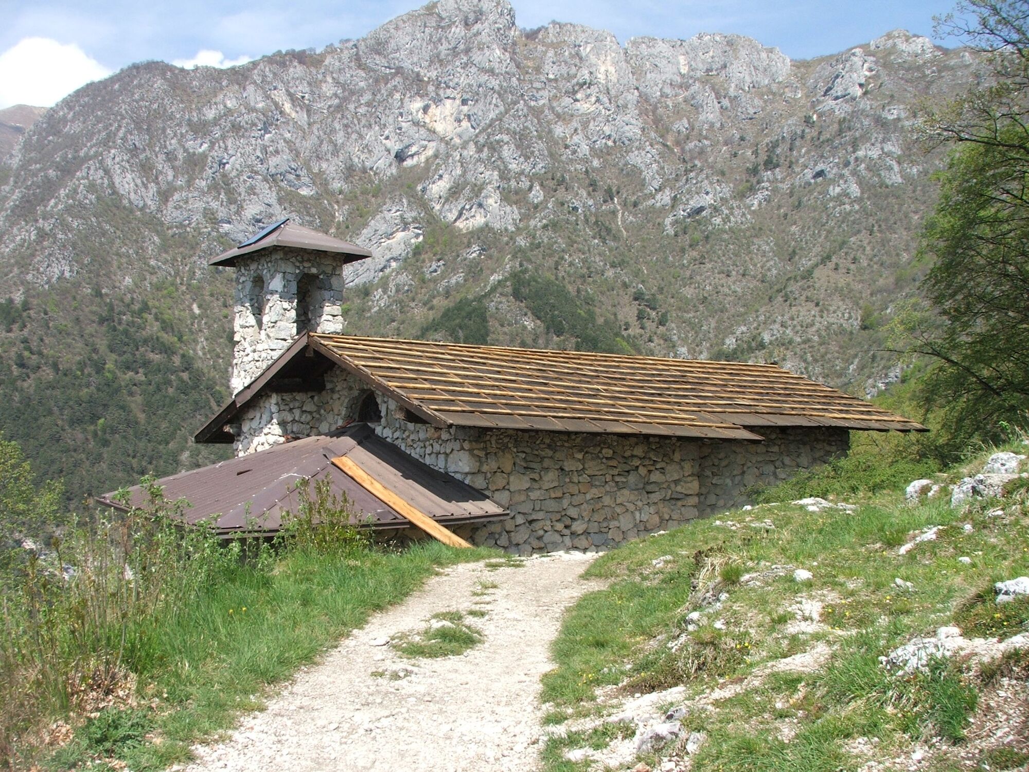
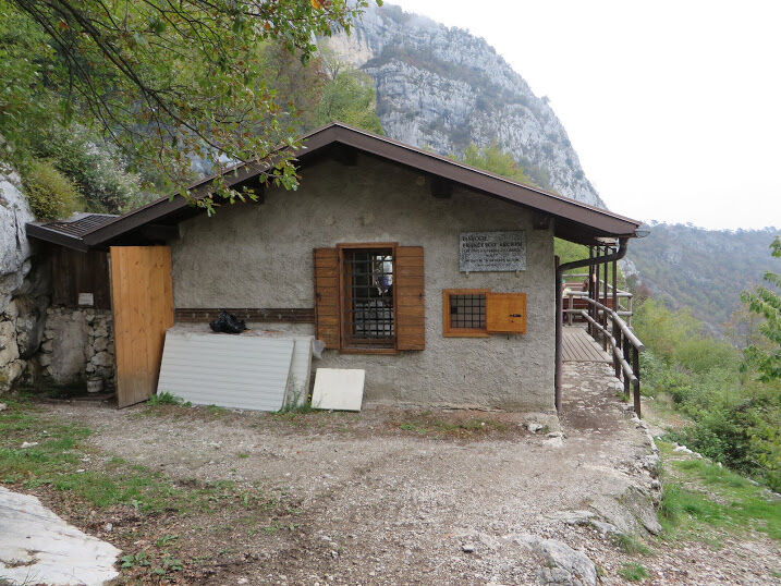
Osteria dei Magasì0,1 kmBiacesa di Ledro0,2 kmCaregna0,9 kmChiesa di San Giovanni Battista2,6 kmBivacco Arcioni2,6 kmCima Rocca (1.090 m)3,1 kmRiva del Garda3,9 kmCaregna6,2 kmOsteria dei Magasì6,7 kmBiacesa di Ledro6,9 km
- Beste seizoen
-
janfebmrtaprmeijunjulaugsepoktnovdec
- Maximale hoogte
- 988 m
- Bestemming
-
Cima Rocca
- Hoogteprofiel
-
 © outdooractive.com

-

-
AuteurDe rondleiding Cima Rocca wordt gebruikt door outdooractive.com op.
GPS Downloads


Algemene info
Verfrissingsstop
Cultureel/Historisch
Veelbelovend
Meer rondleidingen in de regio's
-
Gardasee / Lombardei
433
-
Garda Trentino
661
-
Prè di Ledro
283