© Rete di Riserve Val di Cembra Avisio - Stefano Campo

© Rete di Riserve Val di Cembra Avisio - Patrick Odorizzi

© Rete di Riserve Val di Cembra Avisio - Patrick Odorizzi

© Rete di Riserve Val di Cembra Avisio - Albatros

© Rete di Riserve Val di Cembra Avisio - Albatros

© Rete di Riserve Val di Cembra Avisio - Paolo Piffer

© Rete di Riserve Val di Cembra Avisio - Patrick Odorizzi

- Korte beschrijving
-
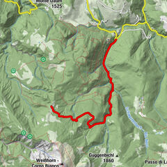
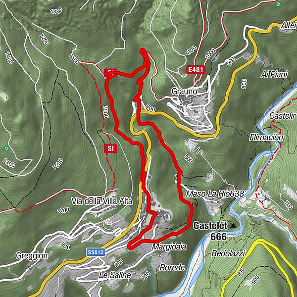
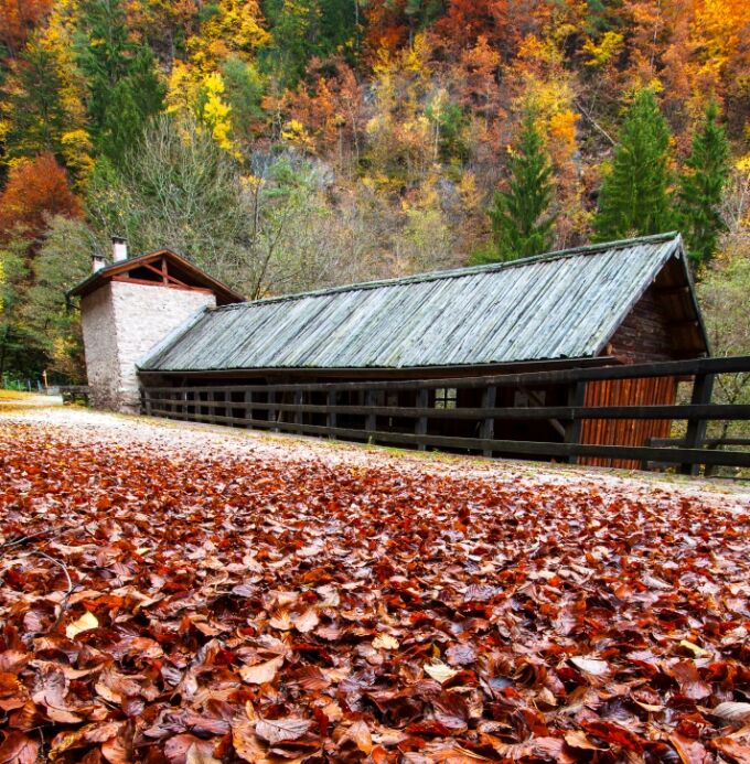
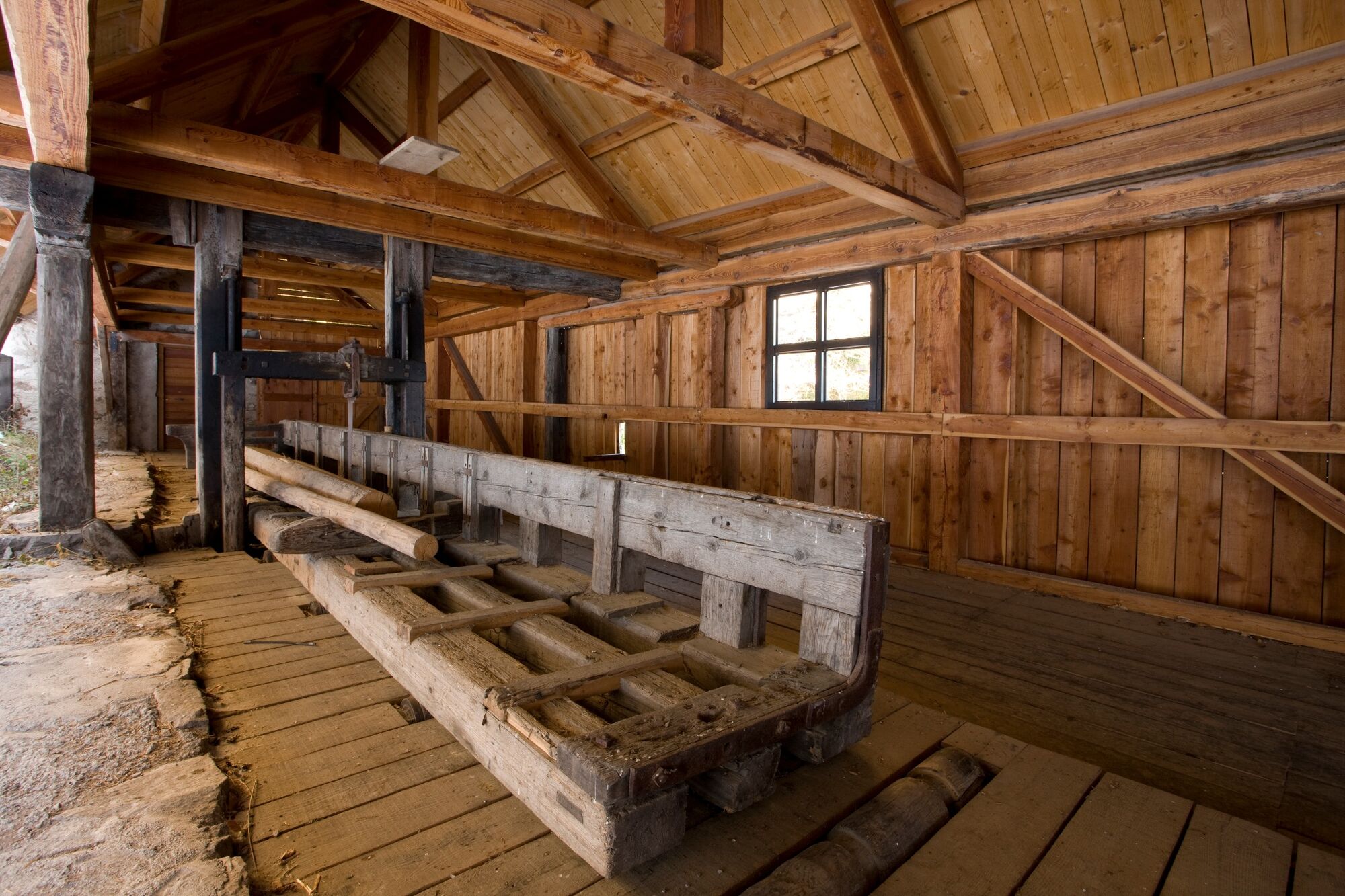
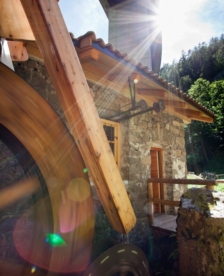
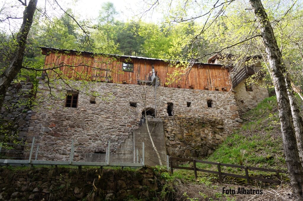
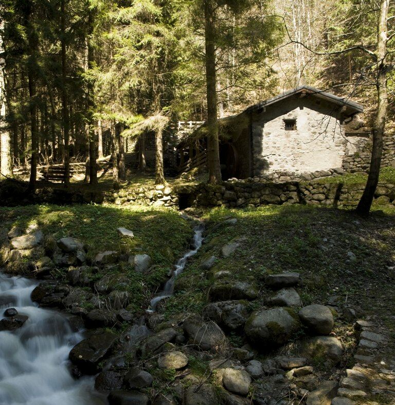
The rediscovery of the rural history of the valley with its “water machines” along Rio dei Molini from Grumes to Grauno
- Moeilijkheid
-
medium
- Waardering
-
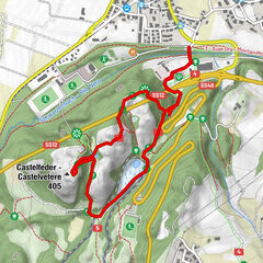
- Route
-
GrumesBar risortante Stella Alpina0,0 kmGrumes5,1 km
- Beste seizoen
-
janfebmrtaprmeijunjulaugsepoktnovdec
- Maximale hoogte
- 1.006 m
- Bestemming
-
Piazza Municipio (town hall square) - Grumes
- Hoogteprofiel
-
 © outdooractive.com
-

-
AuteurDe rondleiding The historic crafts footpath - from Grumes wordt gebruikt door outdooractive.com op.
GPS Downloads


Algemene info
Cultureel/Historisch
Meer rondleidingen in de regio's