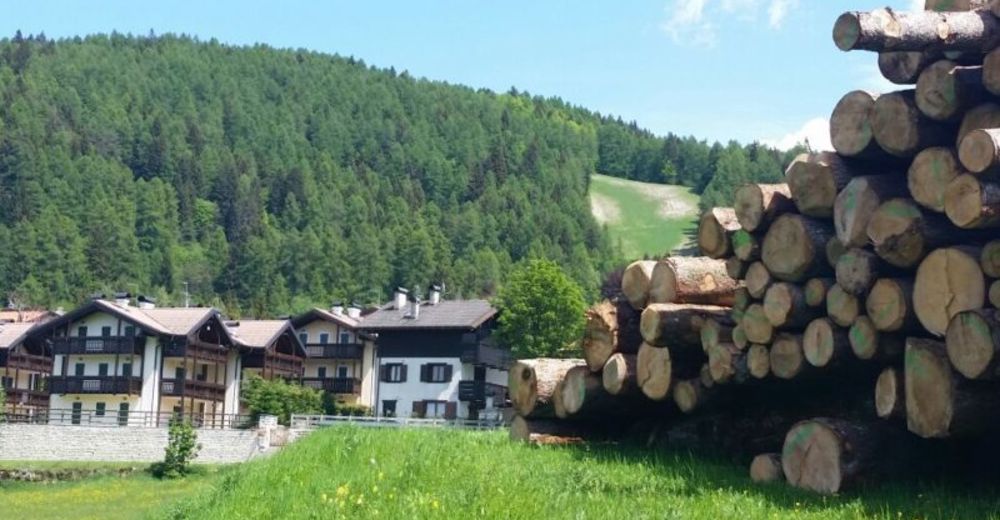
© APT - Alpe Cimbra - Azienda per il turismo Alpe Cimbra
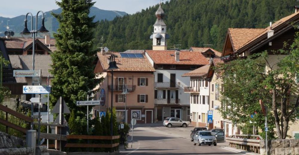
© Unbekannt - Apt Alpe Cimbra
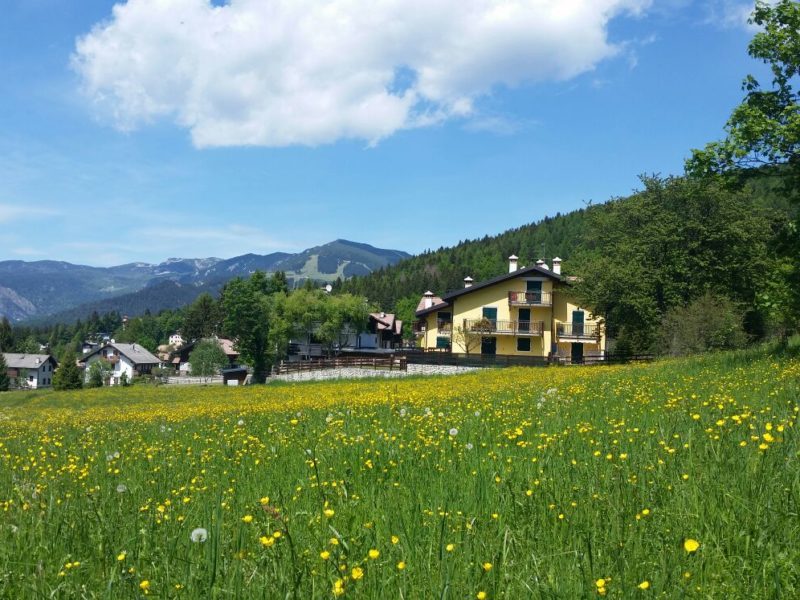
© APT - Alpe Cimbra - Serrada
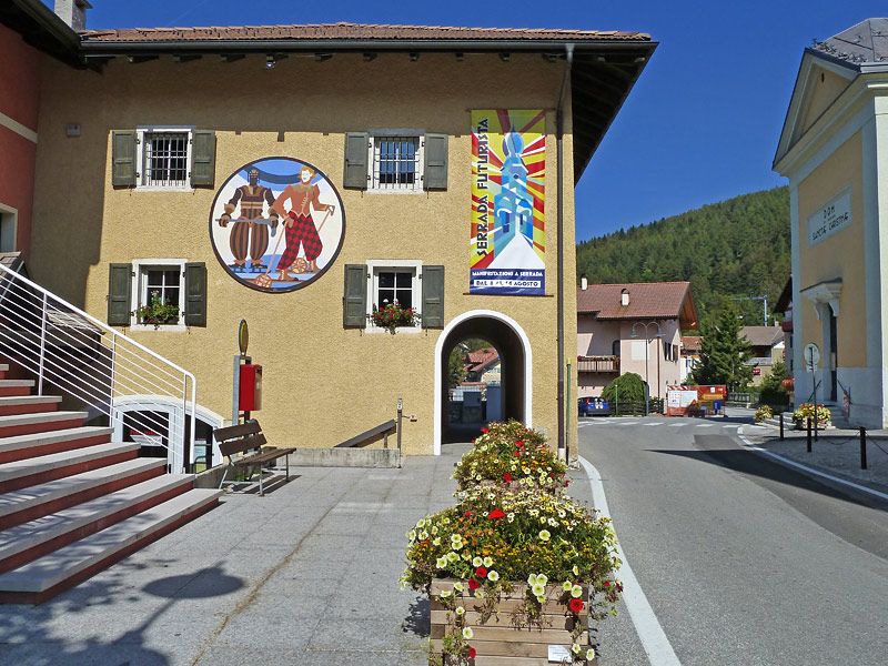
© APT - Alpe Cimbra - Serrada
© Unbekannt - Apt Alpe Cimbra

- Korte beschrijving
-
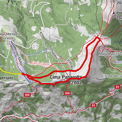
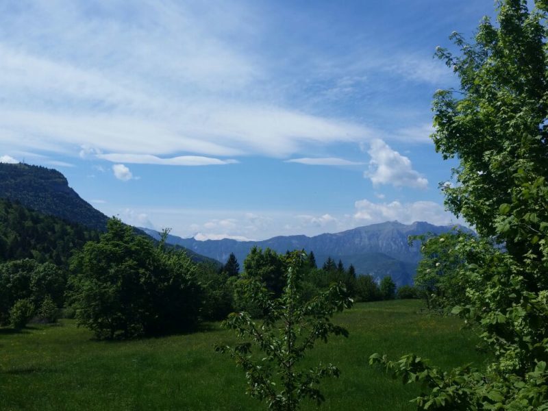
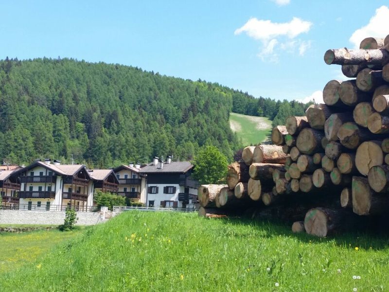
Naoch (or Nauch) is a toponym of German-Cimbrian derivation and indicates the hillock that rises south of the village of Serrada, on the ridge of Mount Finonchio. Given its position, the hill was chosen by the ancient inhabitants of the area to place a small rural church, the foundations of which remain. During the Great War it was also the site of a series of front-line trenches, facing the Terragnolo valley below.
- Moeilijkheid
-
medium
- Waardering
-
- Route
-
La Prok0,4 kmKan Puzen1,4 kmSerrada (1.250 m)2,3 km
- Beste seizoen
-
janfebmrtaprmeijunjulaugsepoktnovdec
- Maximale hoogte
- 1.351 m
- Bestemming
-
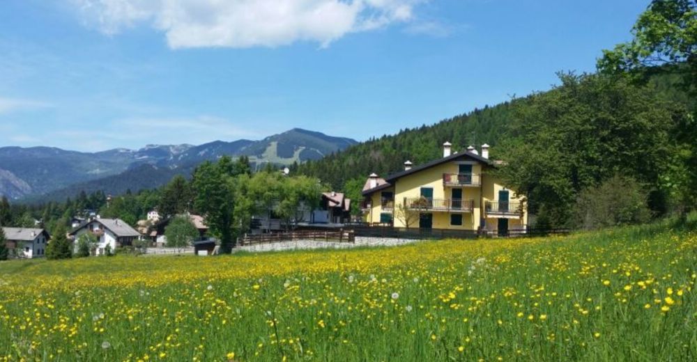
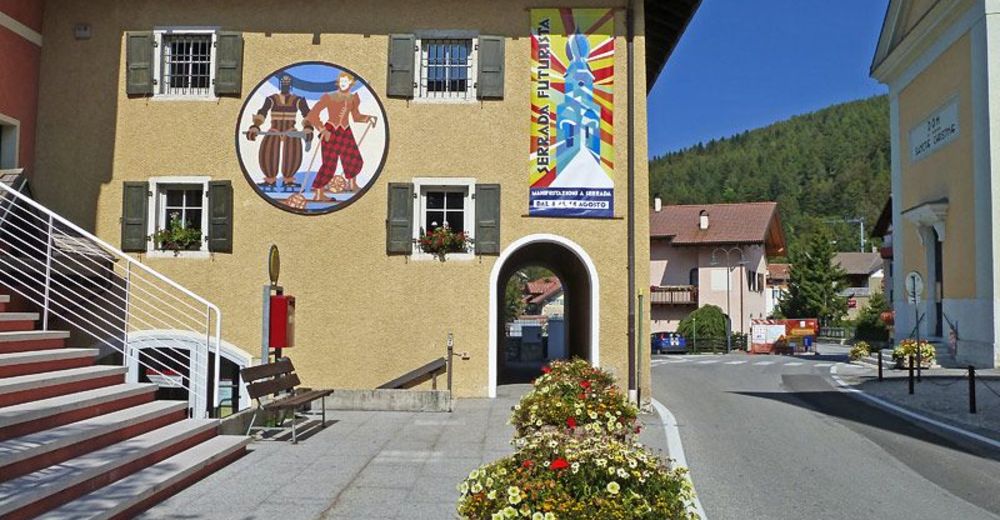
Piazza di Serrada
- Hoogteprofiel
-
 © outdooractive.com

- Auteur
-
De rondleiding 14 - Naoch tour wordt gebruikt door outdooractive.com op.
GPS Downloads


Algemene info
Cultureel/Historisch
Meer rondleidingen in de regio's