© APT - Trento, Monte Bondone e Valle dei Laghi - TRACCIAtour SRL

© APT - Trento, Monte Bondone e Valle dei Laghi - TRACCIAtour SRL

© APT - Trento, Monte Bondone e Valle dei Laghi - TRACCIAtour SRL

© APT - Trento, Monte Bondone e Valle dei Laghi - TRACCIAtour SRL

© APT - Trento, Monte Bondone e Valle dei Laghi - TRACCIAtour SRL

© APT - Trento, Monte Bondone e Valle dei Laghi - TRACCIAtour SRL

- Korte beschrijving
-
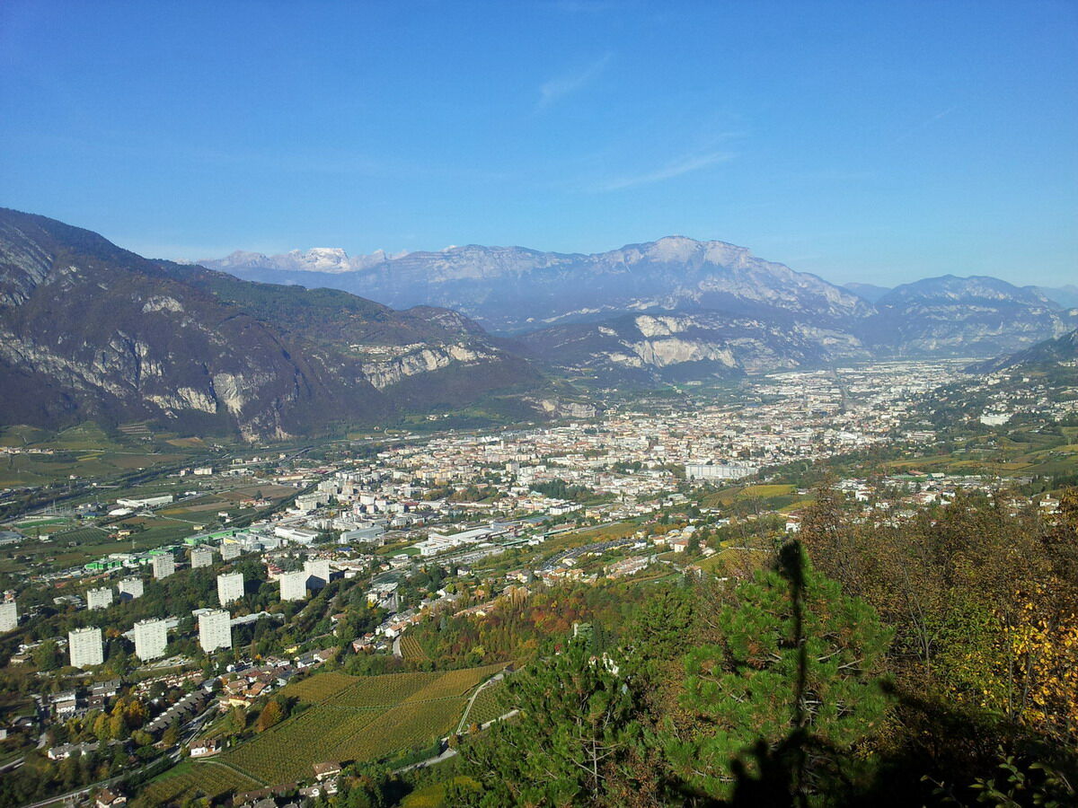
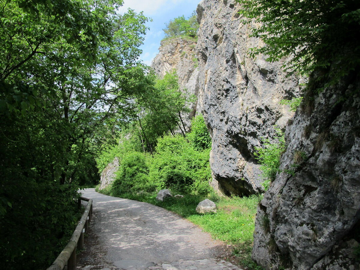
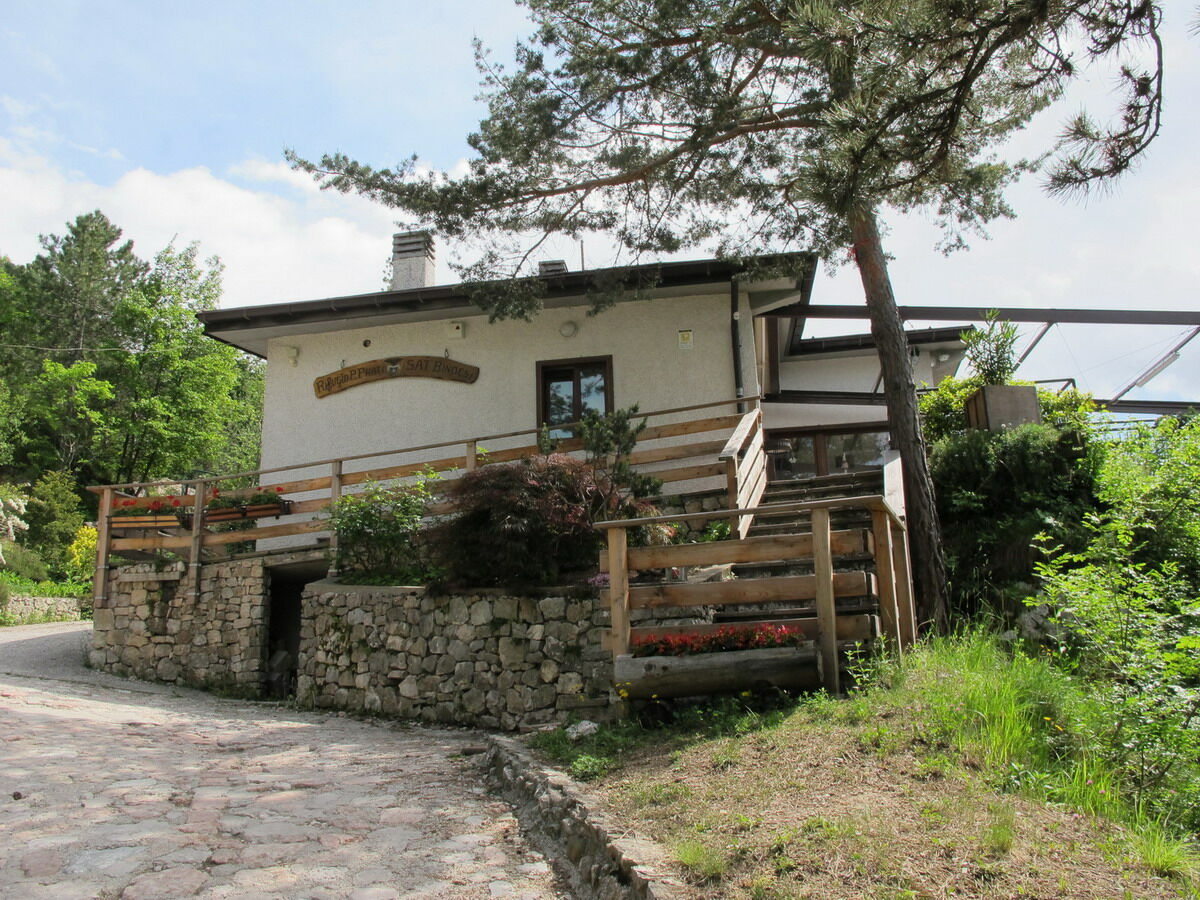
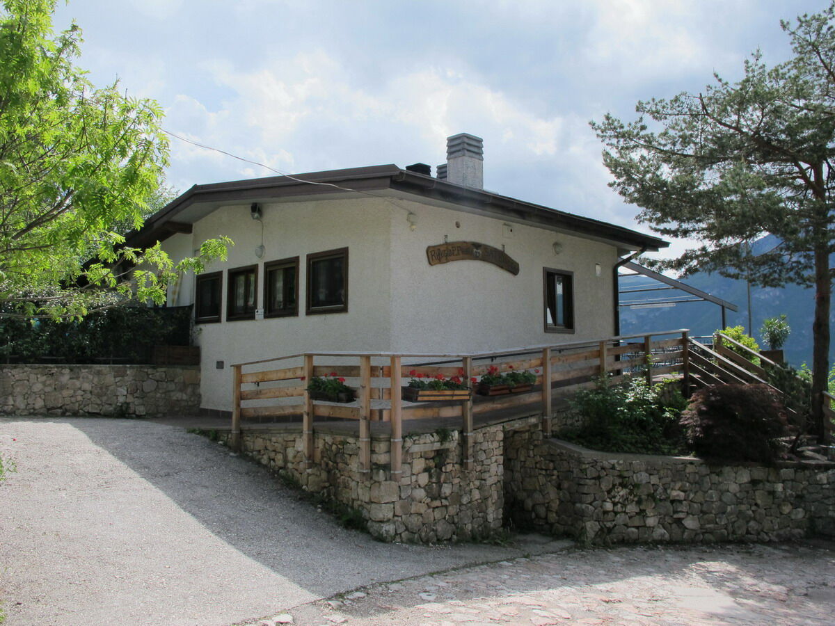
The Rifugio Bindesi is an essential walk for hikers in the Trento hollow
- Moeilijkheid
-
gemakkelijk
- Waardering
-
- Route
-
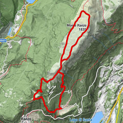
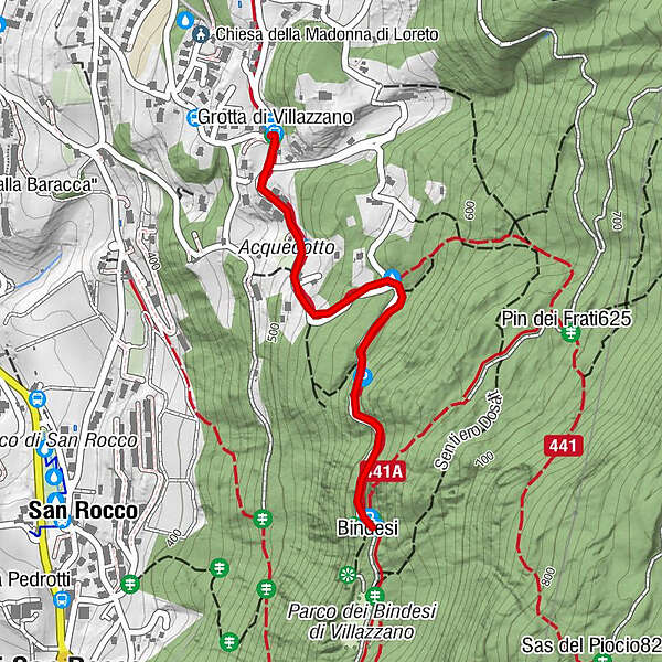
Trient (194 m)Grotta di Villazzano (479 m)0,0 kmPinara (560 m)0,5 kmBindesi1,2 kmRifugio Bindesi - Pino Prati1,2 km
- Beste seizoen
-
janfebmrtaprmeijunjulaugsepoktnovdec
- Maximale hoogte
- 611 m
- Bestemming
-
Rifugio Bindesi (611m)
- Hoogteprofiel
-
 © outdooractive.com


- Auteur
-
De rondleiding Walk to the Rifugio Bindesi wordt gebruikt door outdooractive.com op.
GPS Downloads


Algemene info
Verfrissingsstop
Tip voor insiders
Veelbelovend
Meer rondleidingen in de regio's