© Comune di Colceresa

© Comune di Colceresa

© Comune di Colceresa

© Comune di Colceresa

© Comune di Colceresa

© Comune di Colceresa
- Korte beschrijving
-
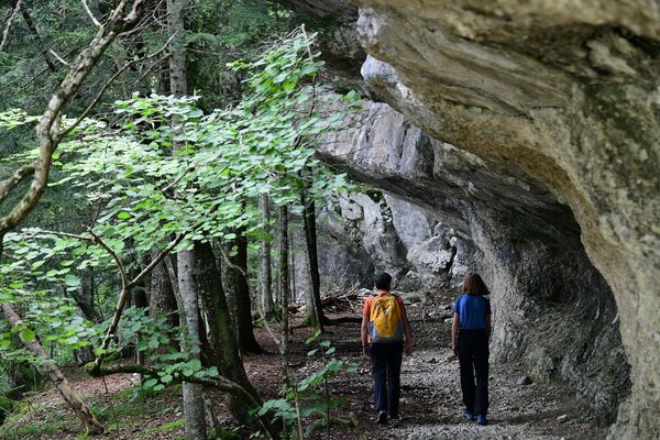
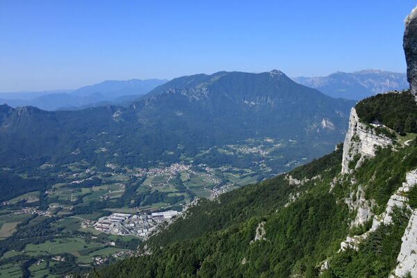
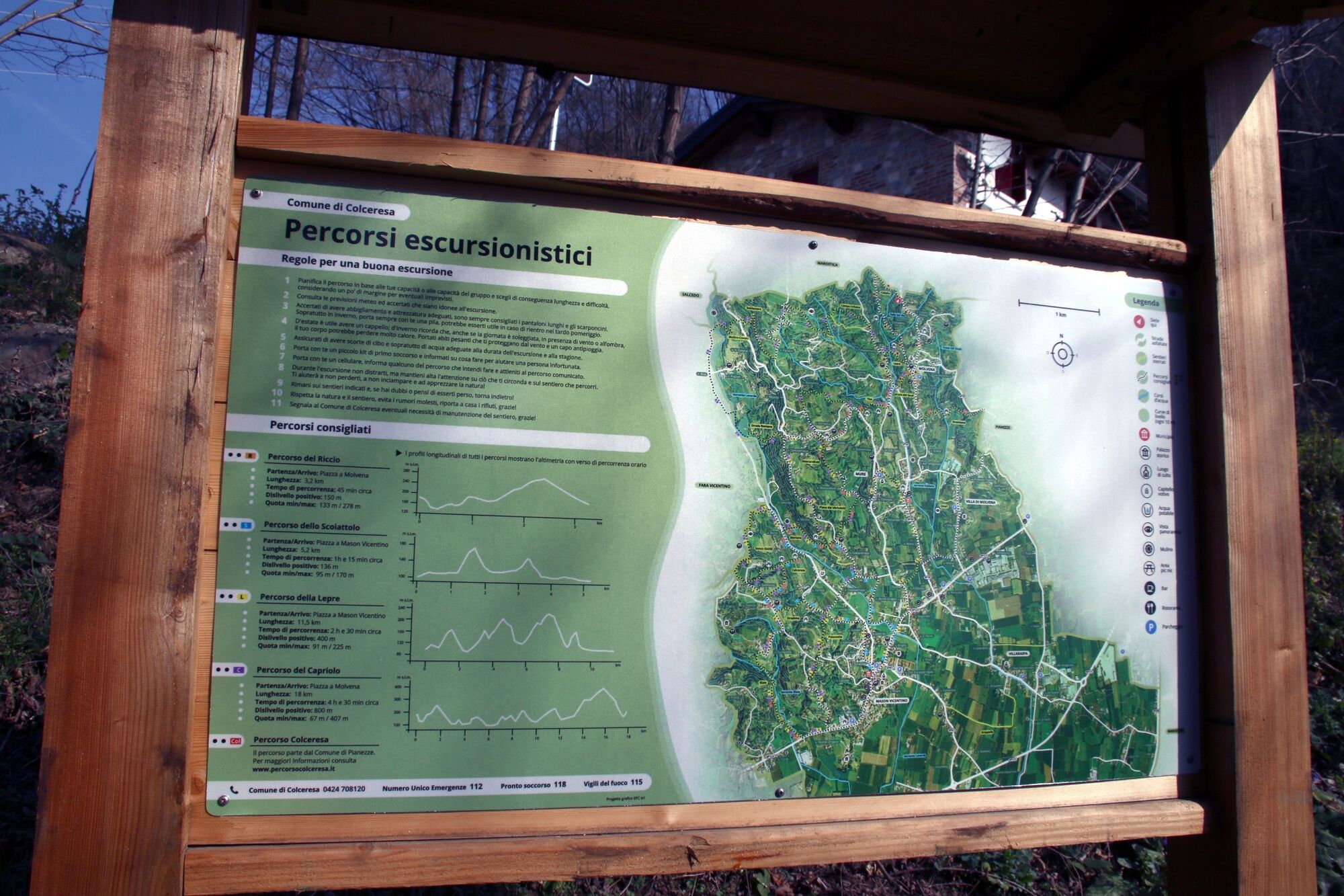
It is a fairly challenging path, with a climbing elevation difference of 400 m.
- Moeilijkheid
-
medium
- Waardering
-
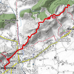
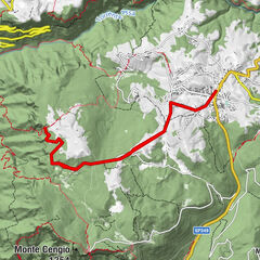
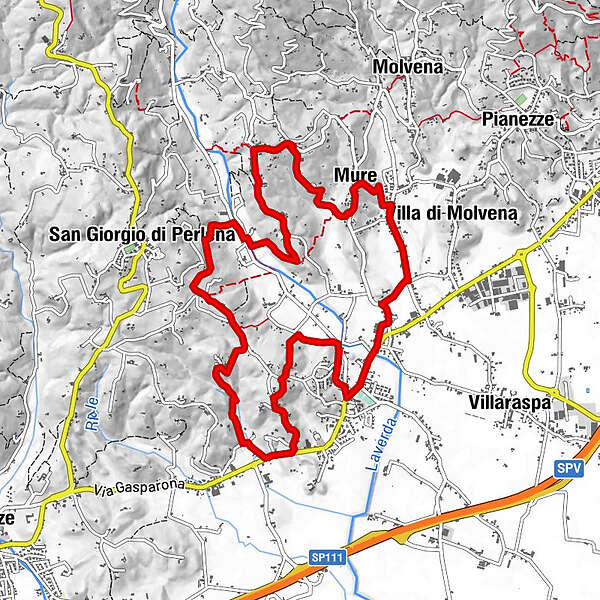
- Route
-
ColceresaMason Vicentino0,0 kmCosta d'Olio3,6 kmPizzeria Trattoria da Icio e Paola4,1 kmLavarda5,5 kmTibalda7,6 kmMure9,3 kmPizzeria "Al Ponte"11,4 kmMason Vicentino11,9 kmColceresa11,9 km
- Beste seizoen
-
janfebmrtaprmeijunjulaugsepoktnovdec
- Maximale hoogte
- 221 m
- Bestemming
-
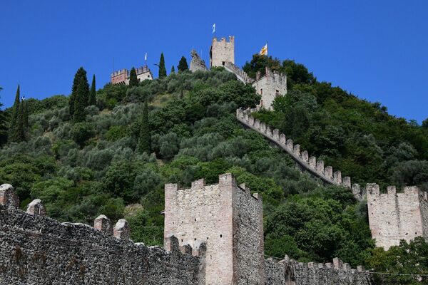
Square in Mason Vicentino
- Hoogteprofiel
-
 © outdooractive.com
- Auteur
-
De rondleiding Colceresa: Hare Path wordt gebruikt door outdooractive.com op.
GPS Downloads


Algemene info
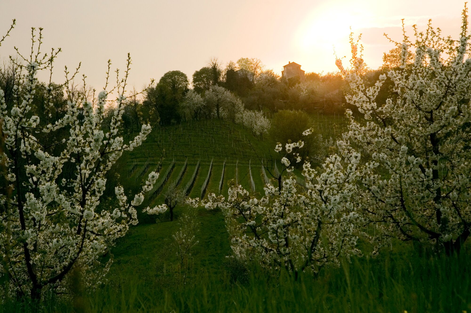
Cultureel/Historisch
Tip voor insiders
Veelbelovend
Meer rondleidingen in de regio's
-
Vicenza
304
-
Bassano del Grappa
167