© La via delle PREALPI - Editor - la Via delle PREALPI

© La via delle PREALPI - Editor - la Via delle PREALPI

© La via delle PREALPI - Editor - la Via delle PREALPI

© La via delle PREALPI - Editor - la Via delle PREALPI


- Korte beschrijving
-
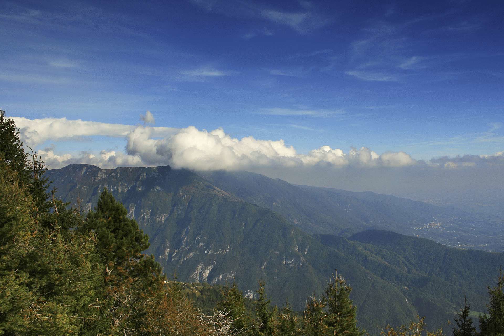
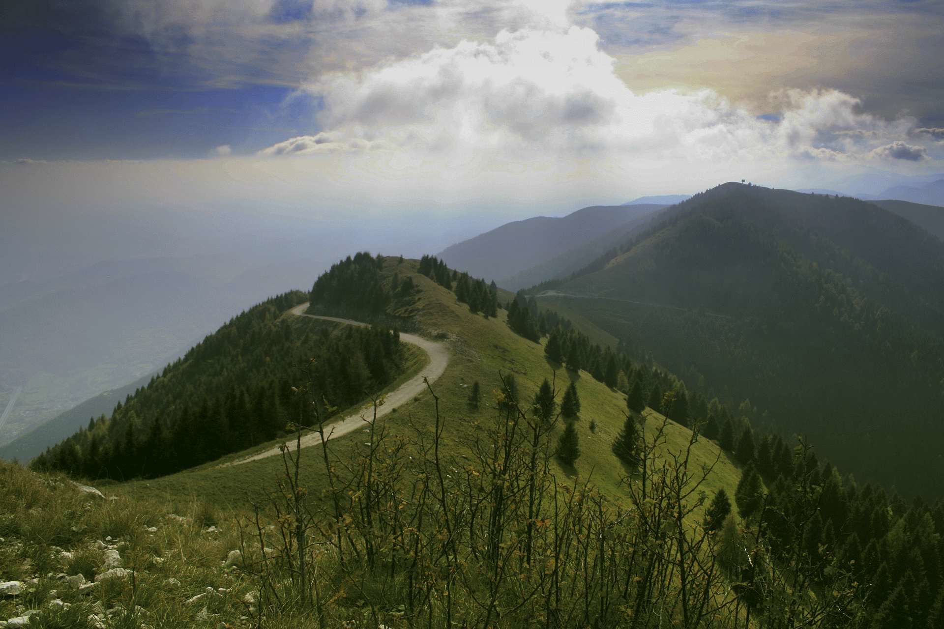
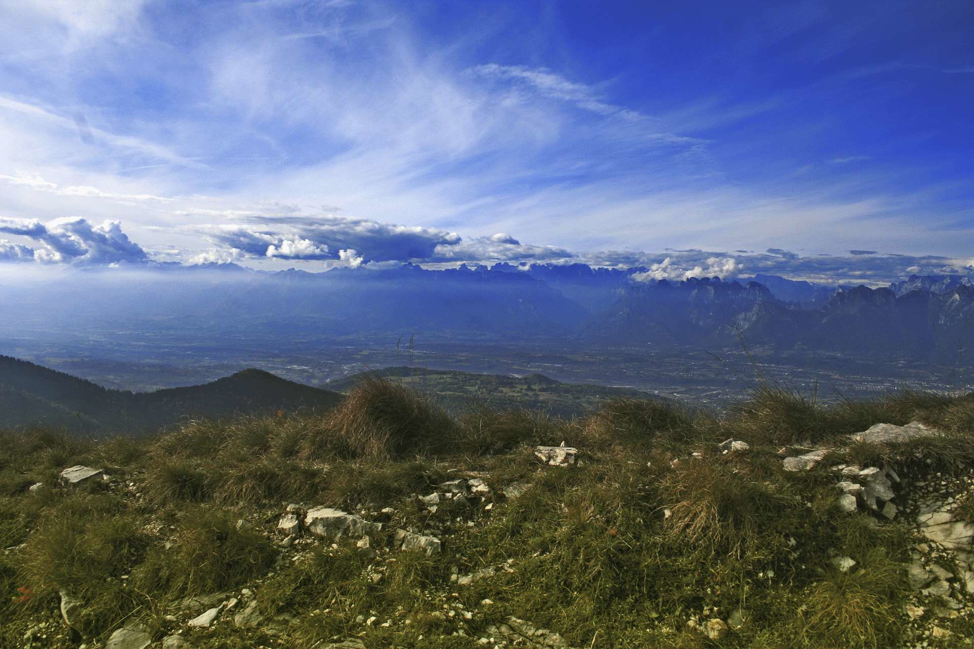
The proposed itinerary is part of the European Path that extends from Portugal to Romania crossing all the Veneto Prealps from Lake Garda to Cansiglio. The short section proposed will allow you to experience one of the most beautiful sceneries of the entire E7 Path admiring a 360° panorama that cannot be described.
- Moeilijkheid
-
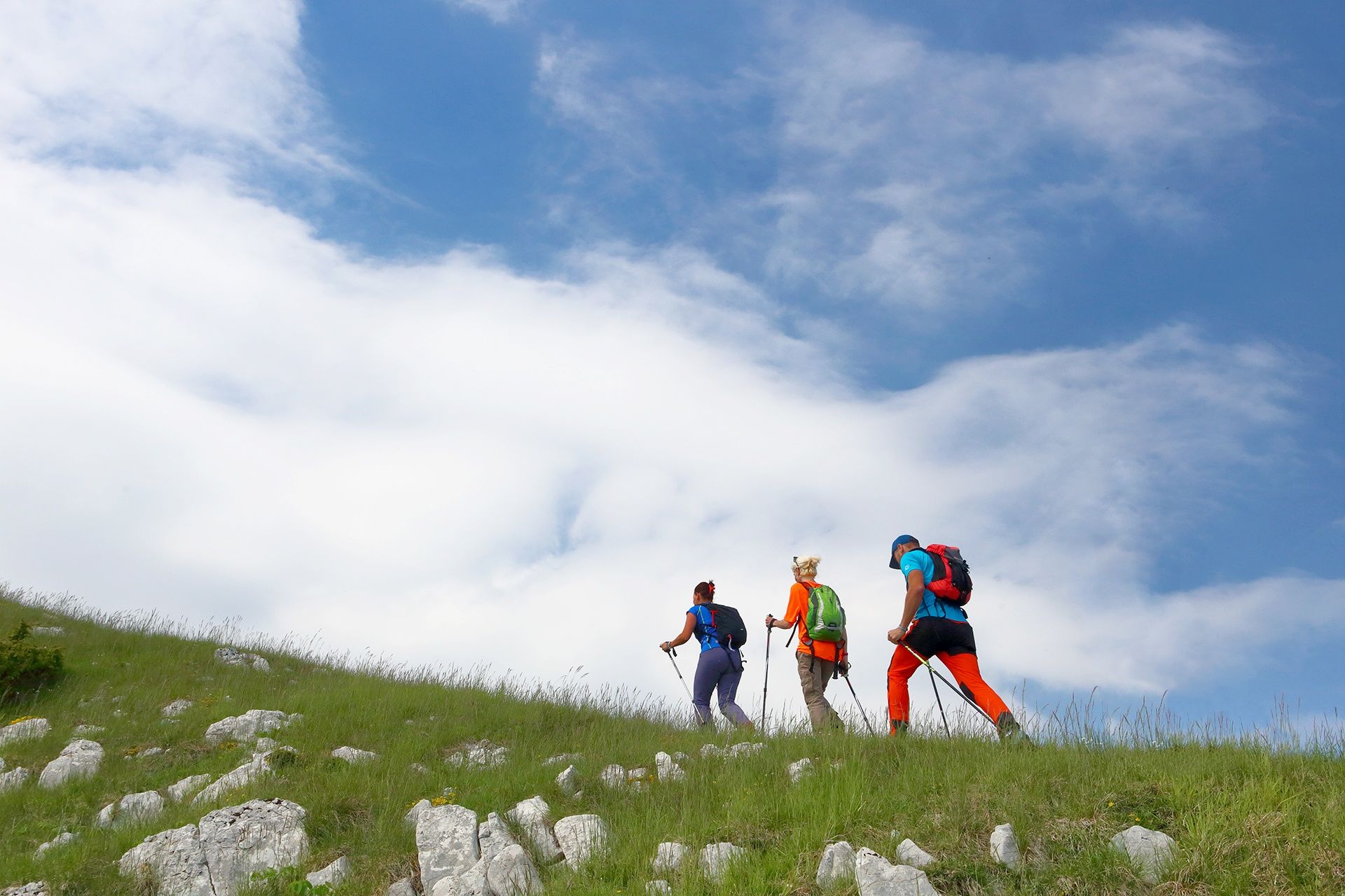
medium
- Waardering
-
- Route
-
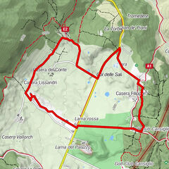
Agriturismo Faverghera1,2 kmMonte Faverghera (1.611 m)1,6 kmRifugio Bristot2,7 kmCol Visentin (1.776 m)5,1 km
- Beste seizoen
-
janfebmrtaprmeijunjulaugsepoktnovdec
- Maximale hoogte
- 1.731 m
- Bestemming
-
Rifugio Col Visentin, Belluno
- Hoogteprofiel
-
 © outdooractive.com
- Auteur
-
De rondleiding Walking to Col Visentin along the E7 Path wordt gebruikt door outdooractive.com op.
GPS Downloads


Algemene info
Verfrissingsstop
Tip voor insiders
Veelbelovend
Meer rondleidingen in de regio's
-
Belluno-Dolomiti
1074
-
Alpago
72
-
Farra d'Alpago
21