© Lech Zürs Tourismus GmbH - Lech Zuers Tourismus GmbH

© Lech Zürs Tourismus GmbH - Lech Zuers Tourismus GmbH
- Korte beschrijving
-
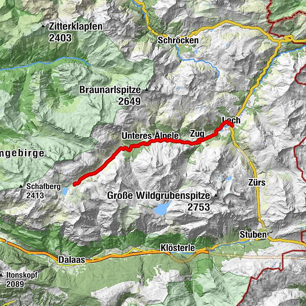
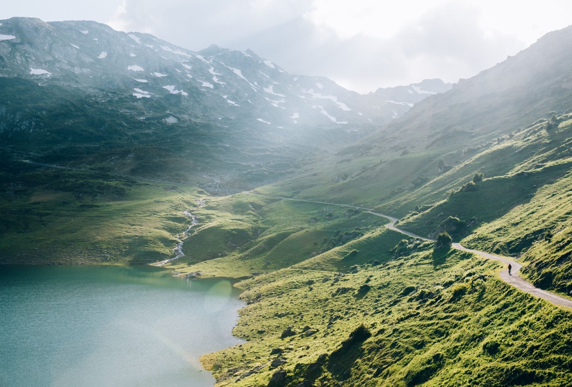
This easy long-distance hiking trail is the first section of the 125 km long Lechweg. The 14km long trail leads along the Lech past the Capricorn Monument, through the Lech Plant Garden and one of the last wild river landscapes in Europe to Zug and then on to Lech.
- Moeilijkheid
-
medium
- Waardering
-
- Route
-
Formarinalpe0,1 kmZug10,9 kmLech (1.444 m)14,0 km
- Beste seizoen
-
janfebmrtaprmeijunjulaugsepoktnovdec
- Maximale hoogte
- 1.874 m
- Bestemming
-
Lech am Arlberg
- Hoogteprofiel
-

-

-
AuteurDe rondleiding Lechweg - from the source to the fall (1st stage) wordt gebruikt door outdooractive.com op.
GPS Downloads


Algemene info
Verfrissingsstop
Tip voor insiders
Meer rondleidingen in de regio's
-
Klostertal
1791
-
Lech - Zürs am Arlberg
513